
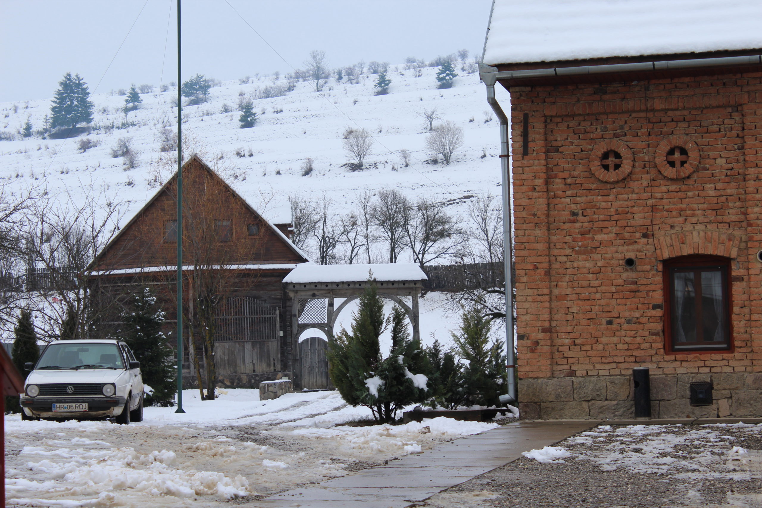
Satul Șoimeni din comuna Păuleni Ciuc se situează în partea estică a depresiunii Ciucului, în bazinul Ciucului de Mijloc, la o distanță de 5 km de municipiul Miercurea Ciuc. Localitatea, traversată de pâraiele Oroci (Aracs), Remetea și Mesteacăn este situată la o altitudine de 740 m. Se remarcă un topoclimat specific cu frecvente și persistente inversiuni termice nocturne și de iarnă, din care cauză sunt frecvente zilele de ceață (60-70/an). Suprafața satului Șoimeni este de 85,27 ha. Profilul economic al satului este determinat de creștera animalelor, urmat de silvicultură și prelucrarea lemnului. Locuitorii satului Șoimeni au luptat într-o bătălie împotriva tătarilor în secolul al XIV-lea, lupta fiind comemorată printr-o cruce de lemn situată pe valea Oroci, la 3 km de Șoimeni.
Localitatea este un sat cu o structură adunată cu ramificații, dispuse in pieptene (neregulat în cazul noilor dezvoltări), cu parcelar tip bandă (și dreptunghiular, în cazul noilor parcelări). Axa principală est-vest este axa generatoare a satului din care se ramifică străzile secundare șerpuitoare cu fundături.
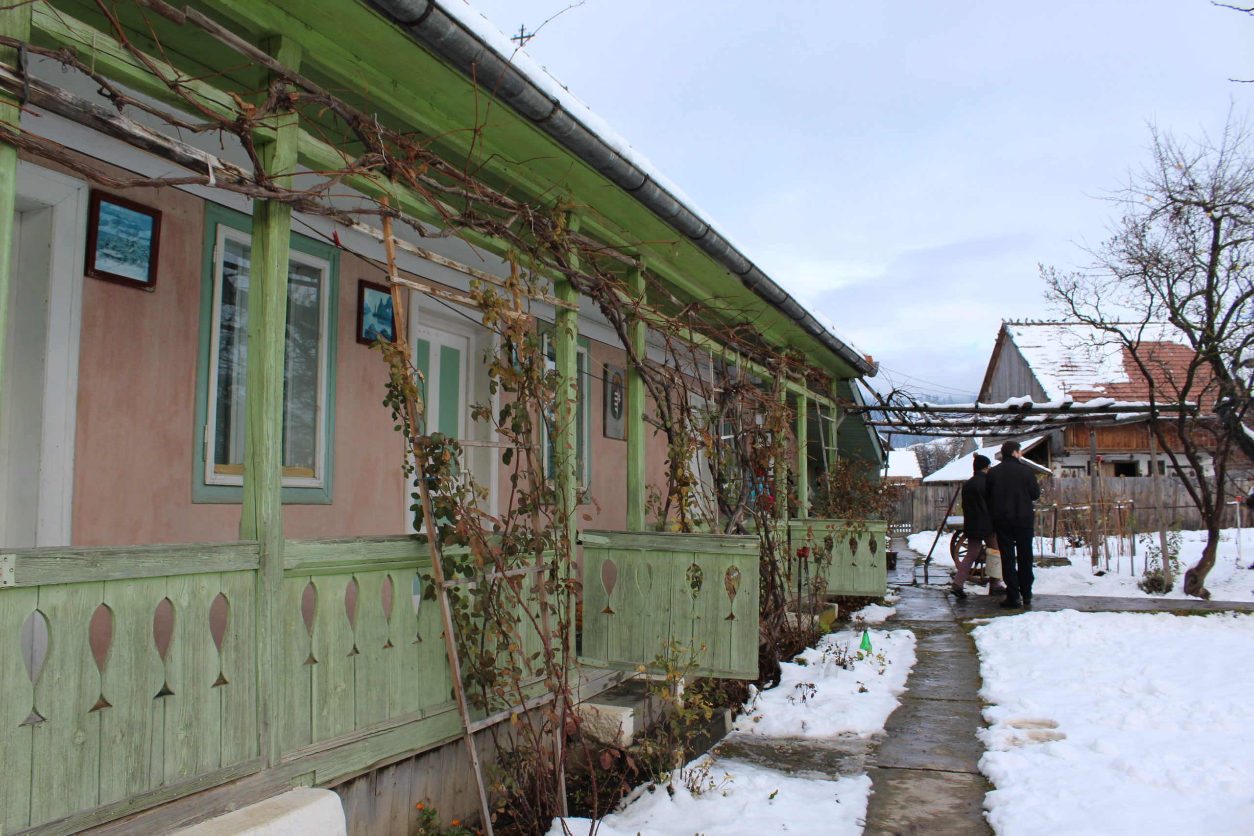
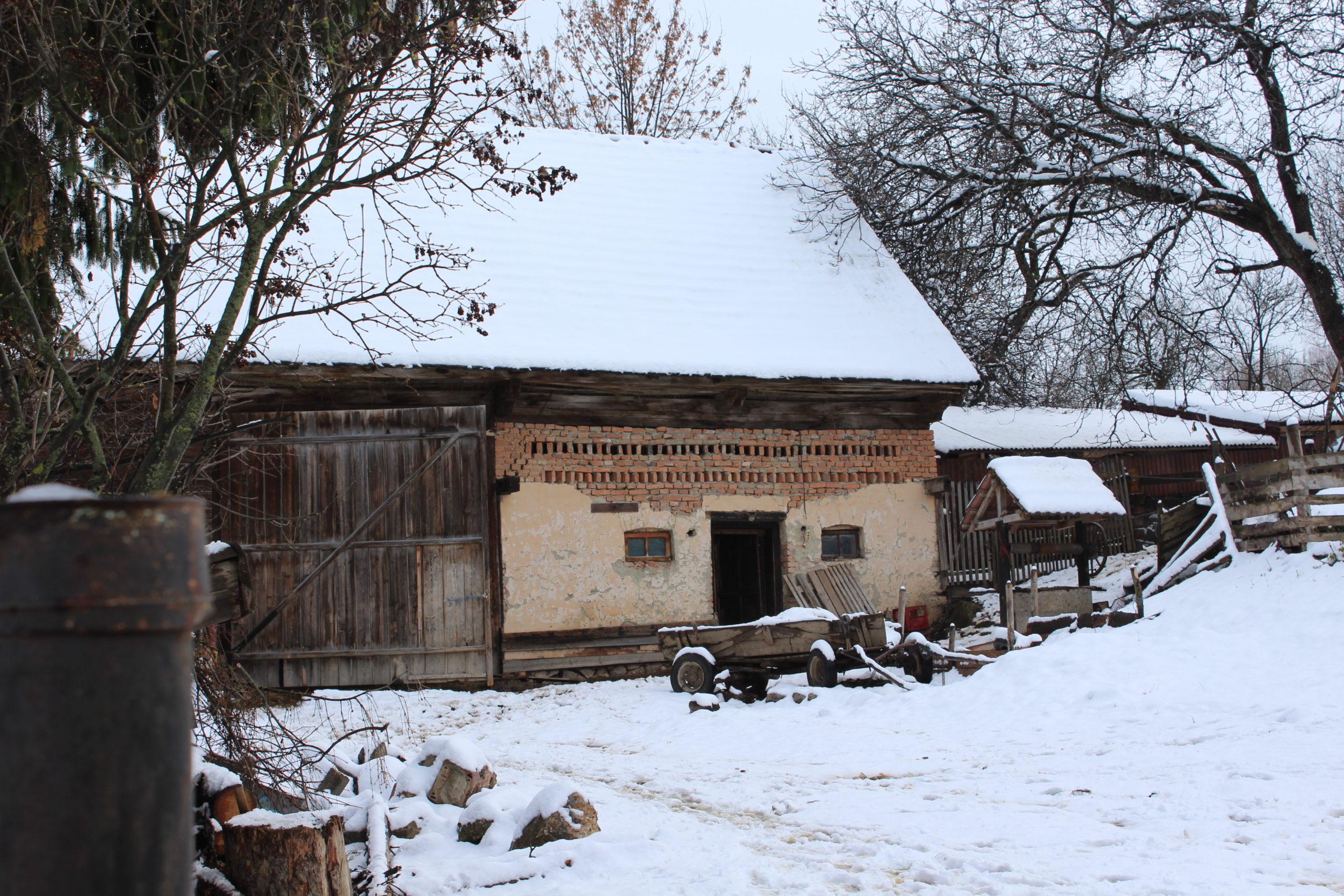
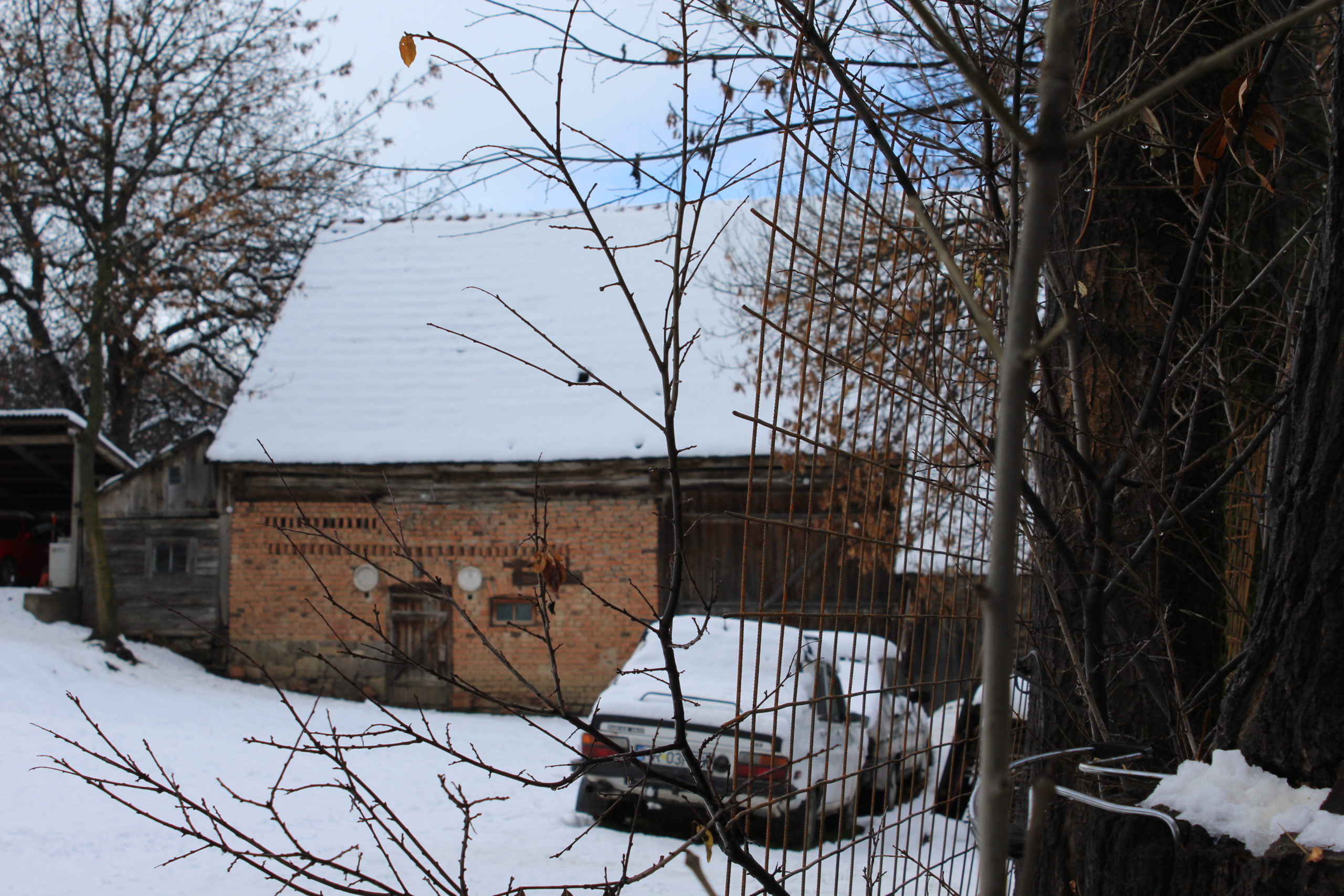
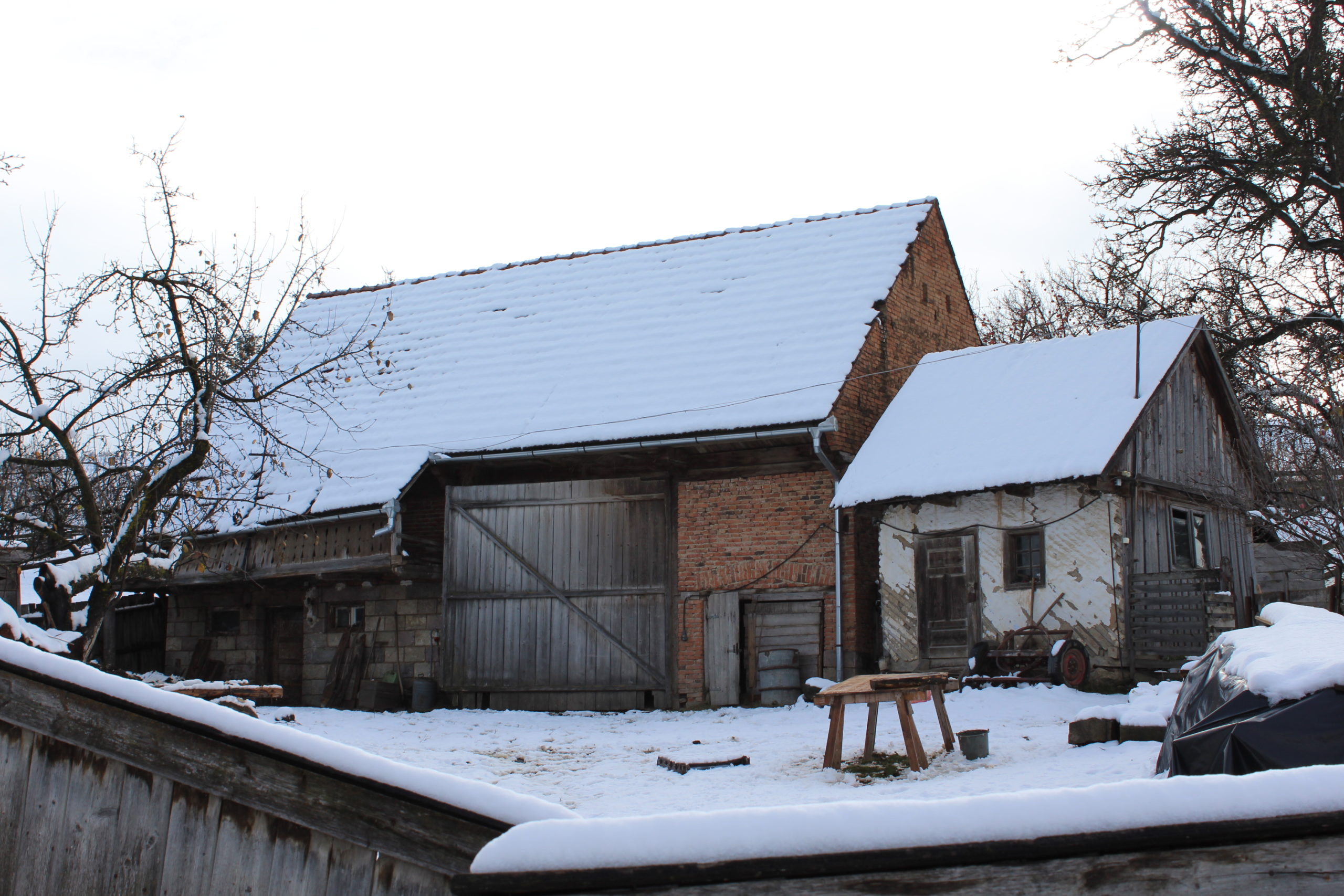
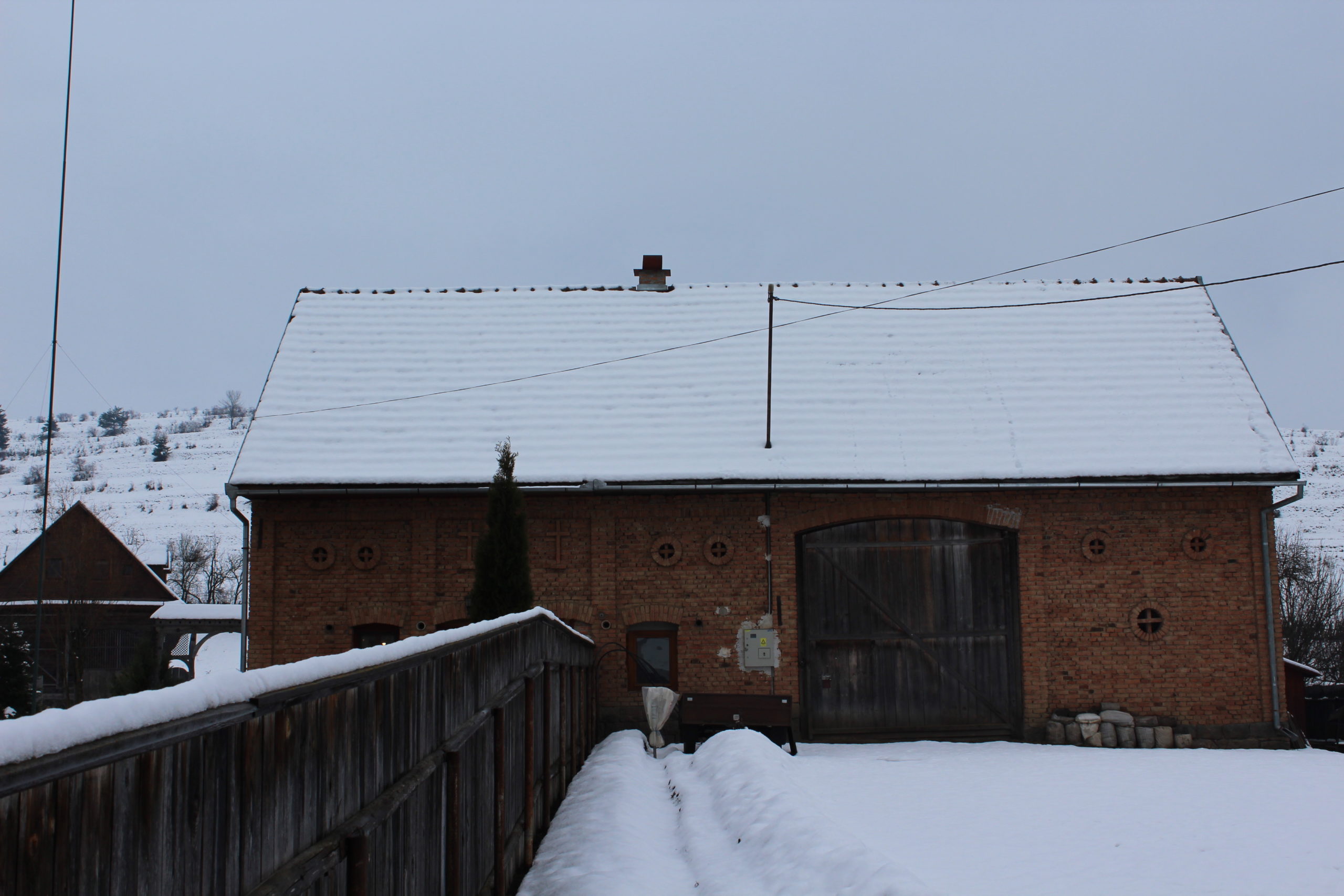
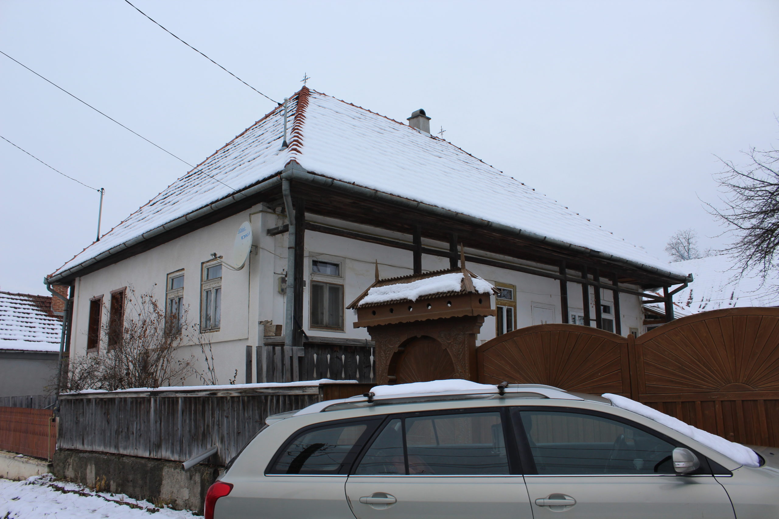
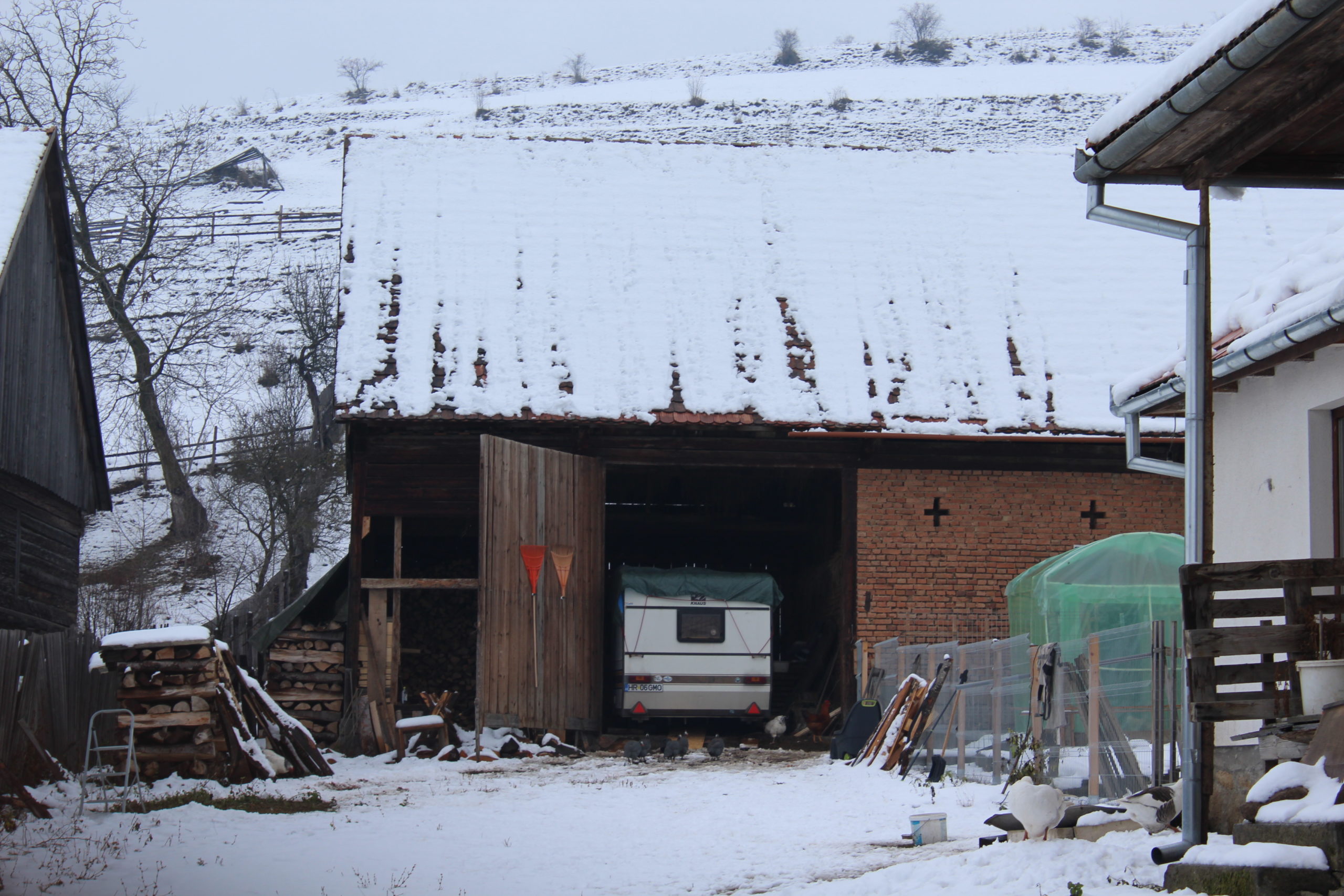
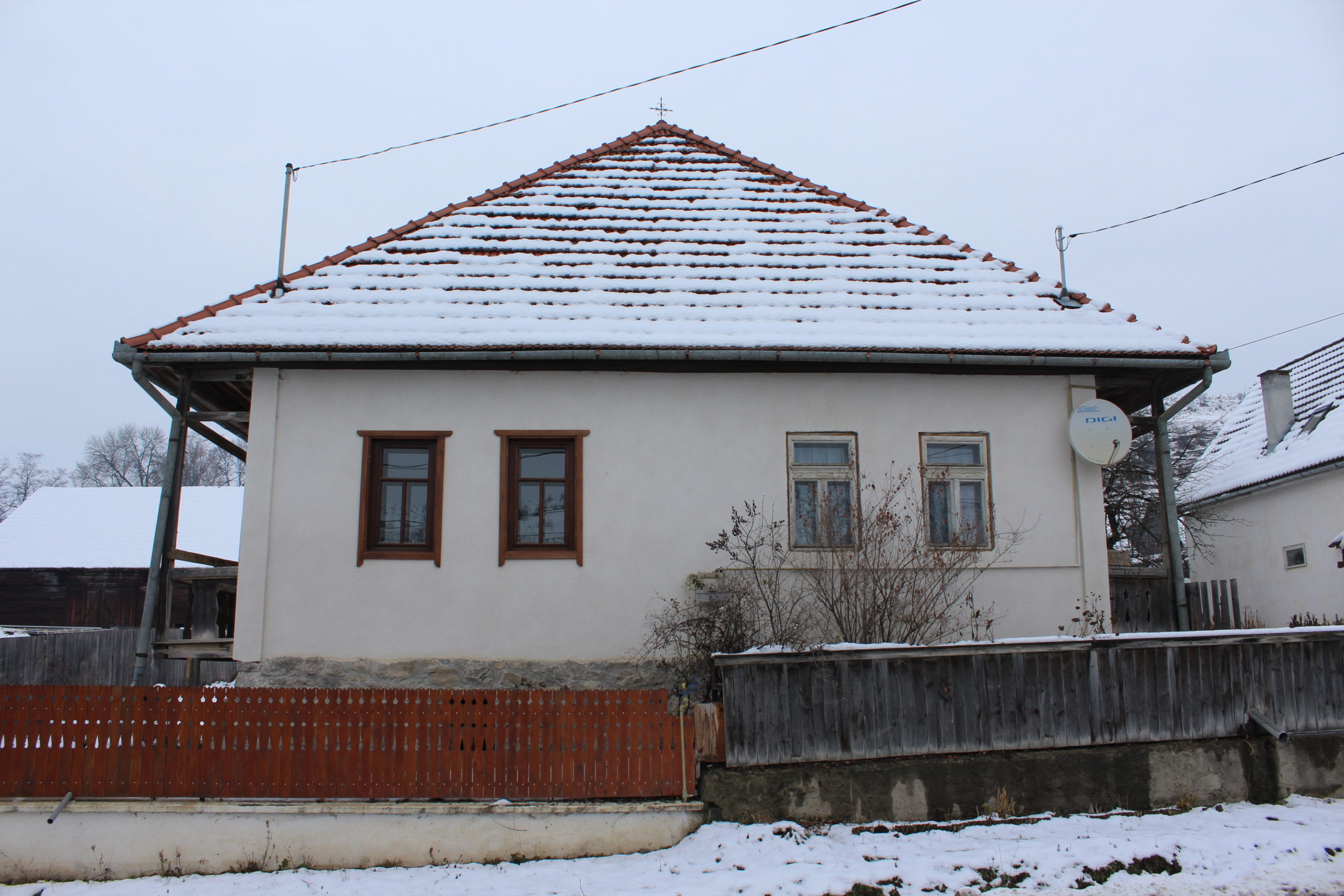
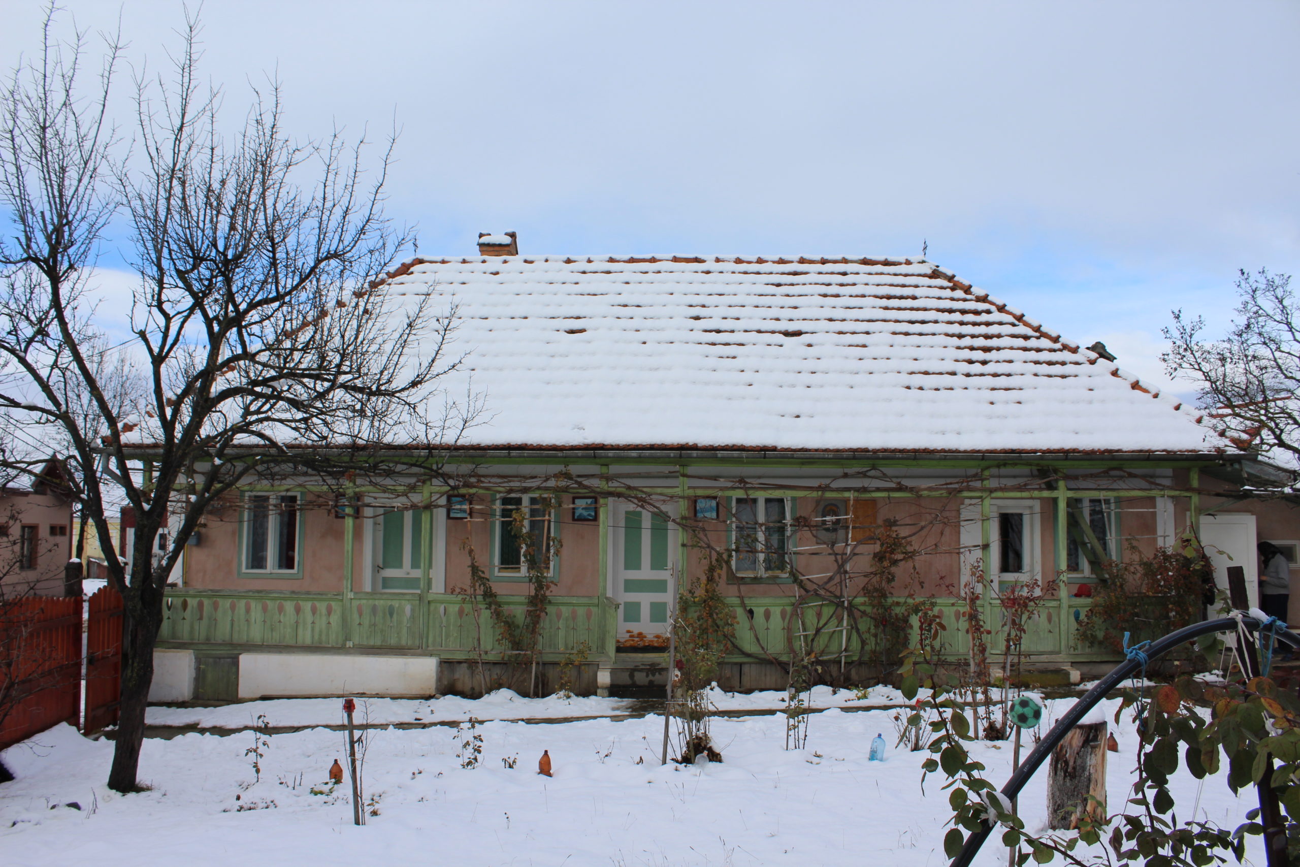
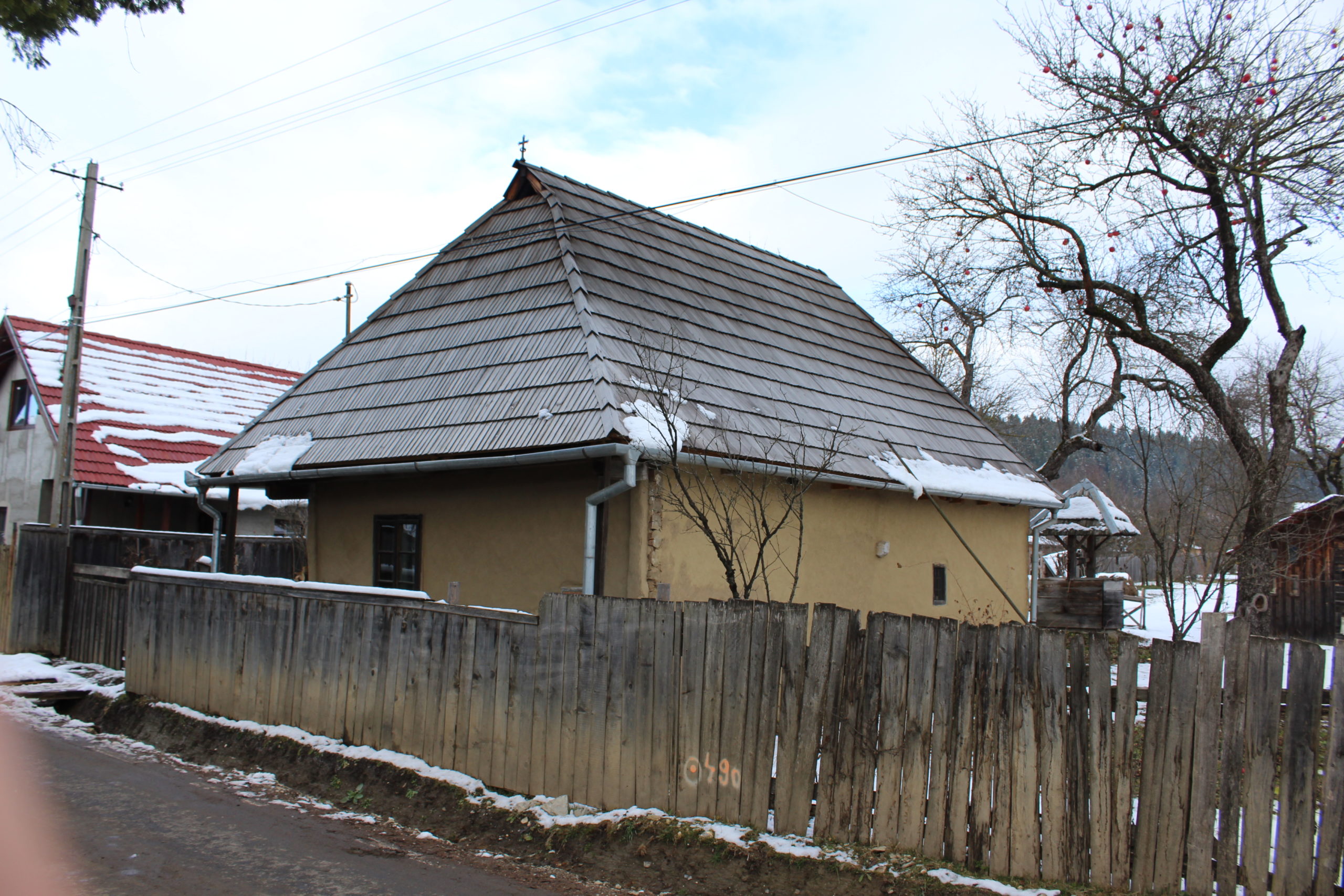
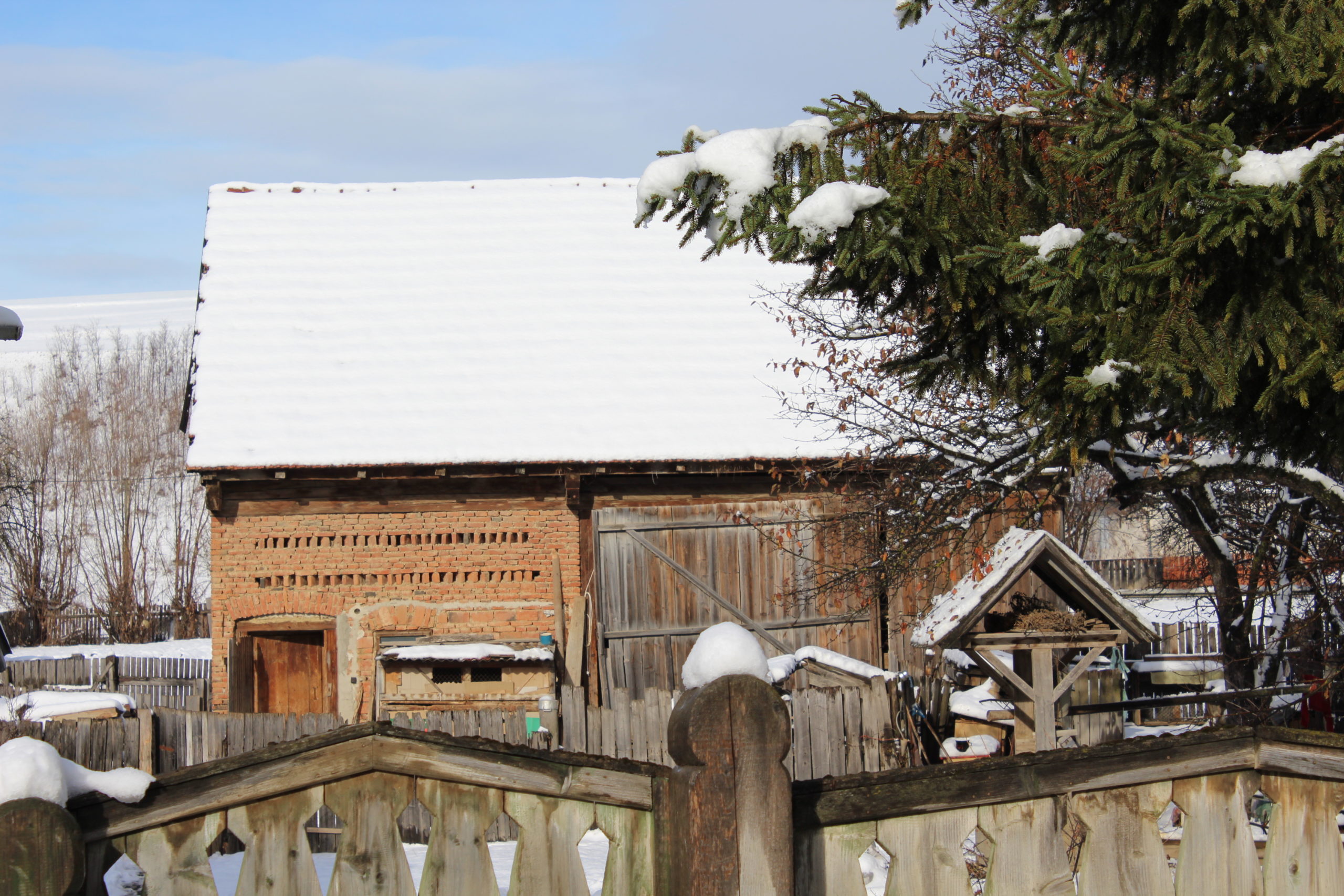
Reperul cel mai important, biserica, se află într-o poziție descentrată la o altitudine mai înaltă, dominând perspectivele stradale. Aşezarea caselor pe parcelă este pe front stradal. Șura are o poziţie transversală separând curtea de grădină. Alte clădiri gospodăreşti găsim înşiruite în prelungirea casei, sau amplasate pe front, mai ales în cazul bucătăriilor de vară.
Studiu privind imaginea satului (2015-16)
Piese scrise
Fișe de cartare
- Fișa de cartare
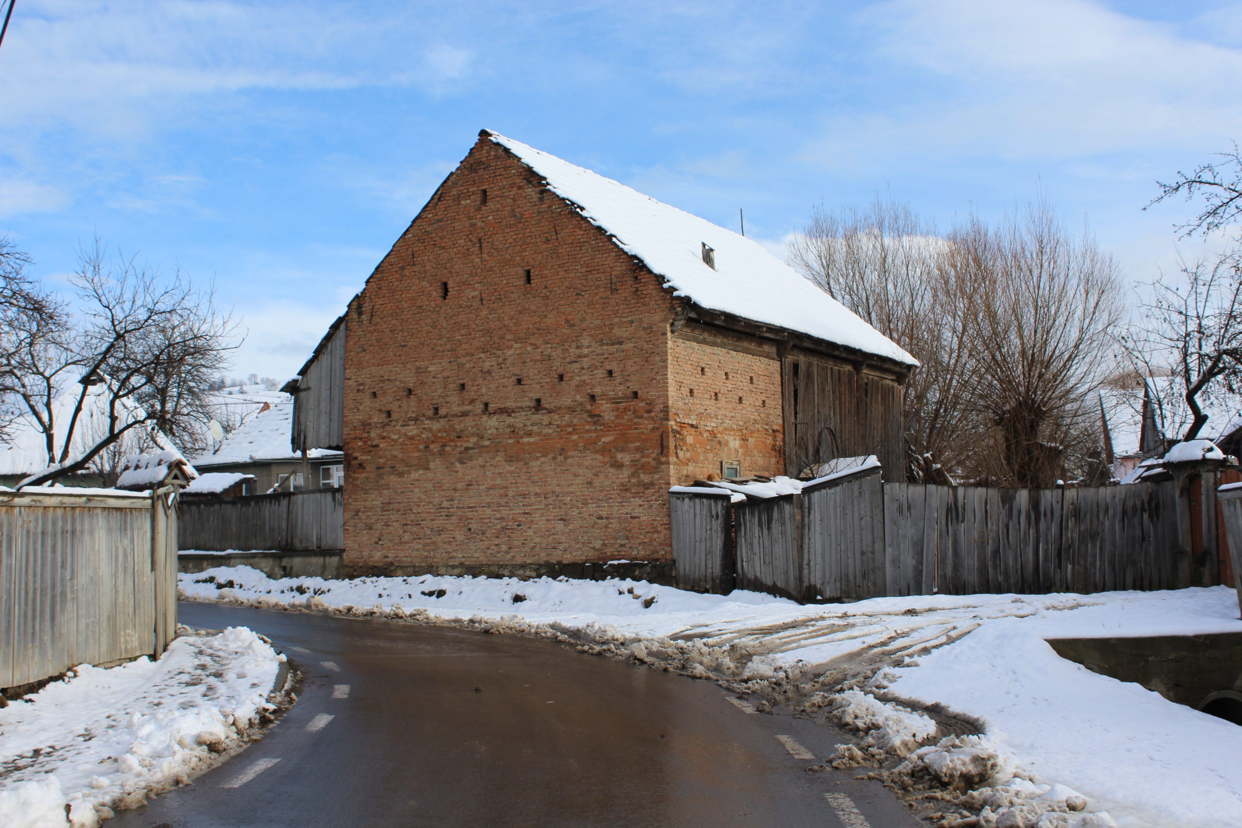
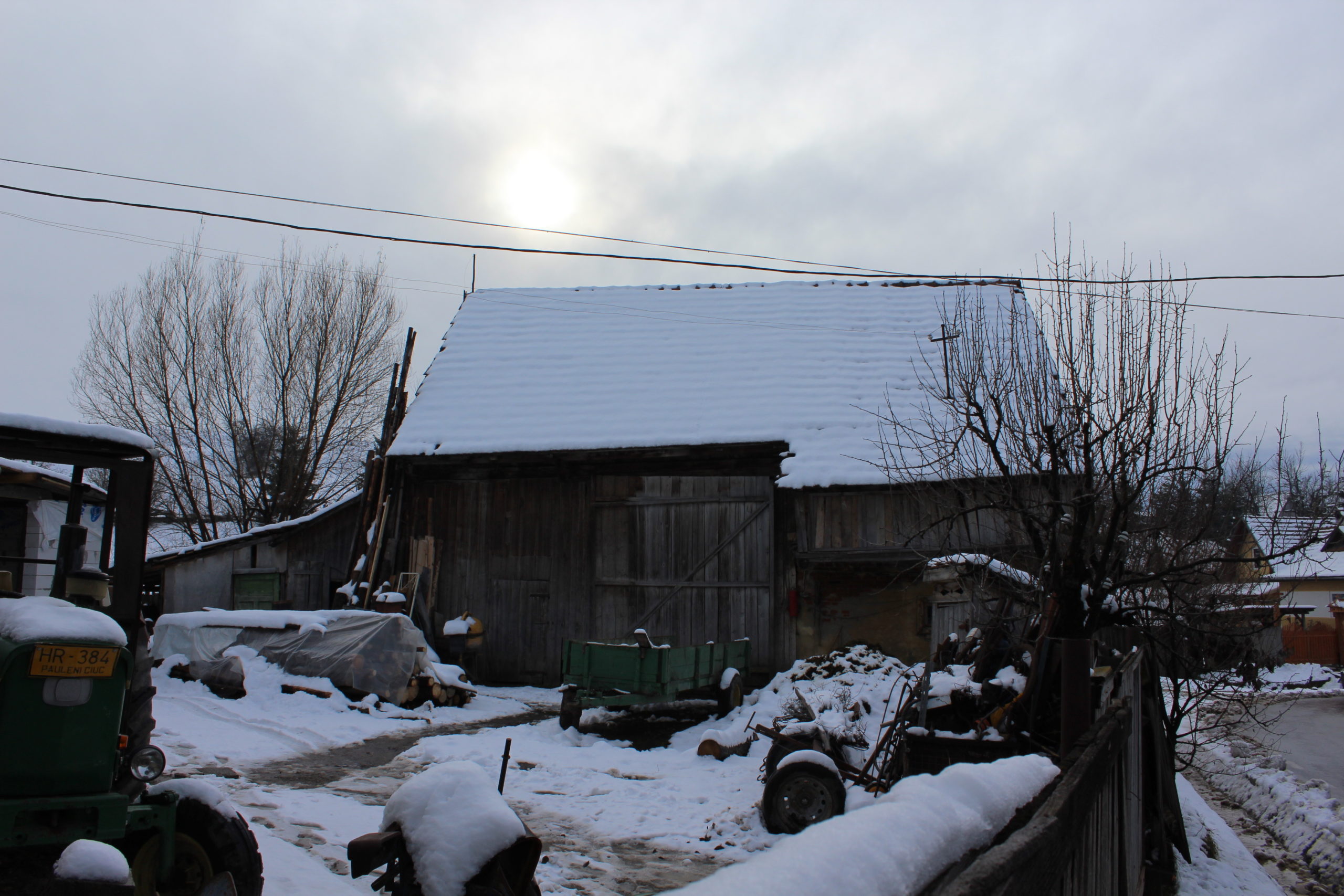
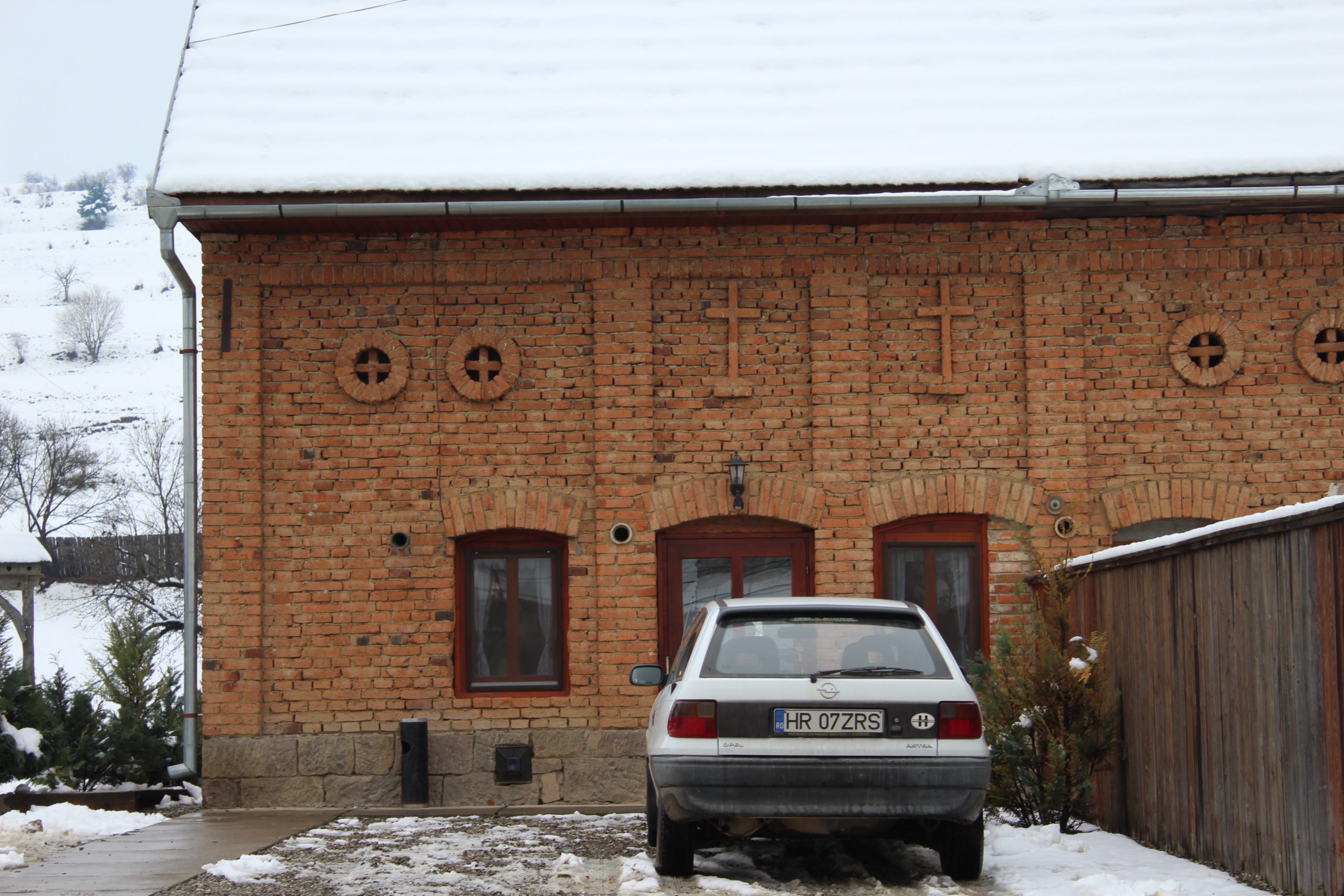
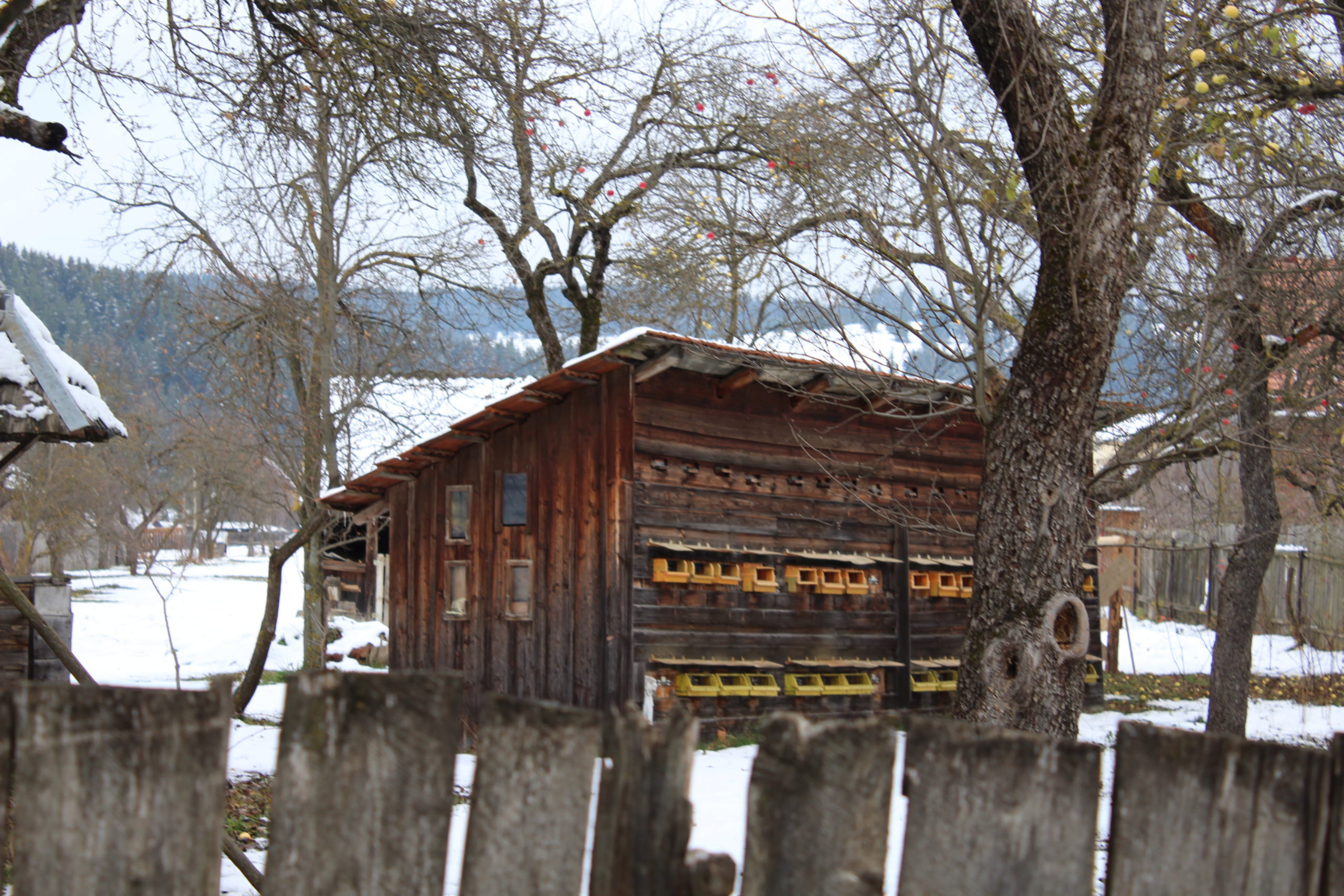
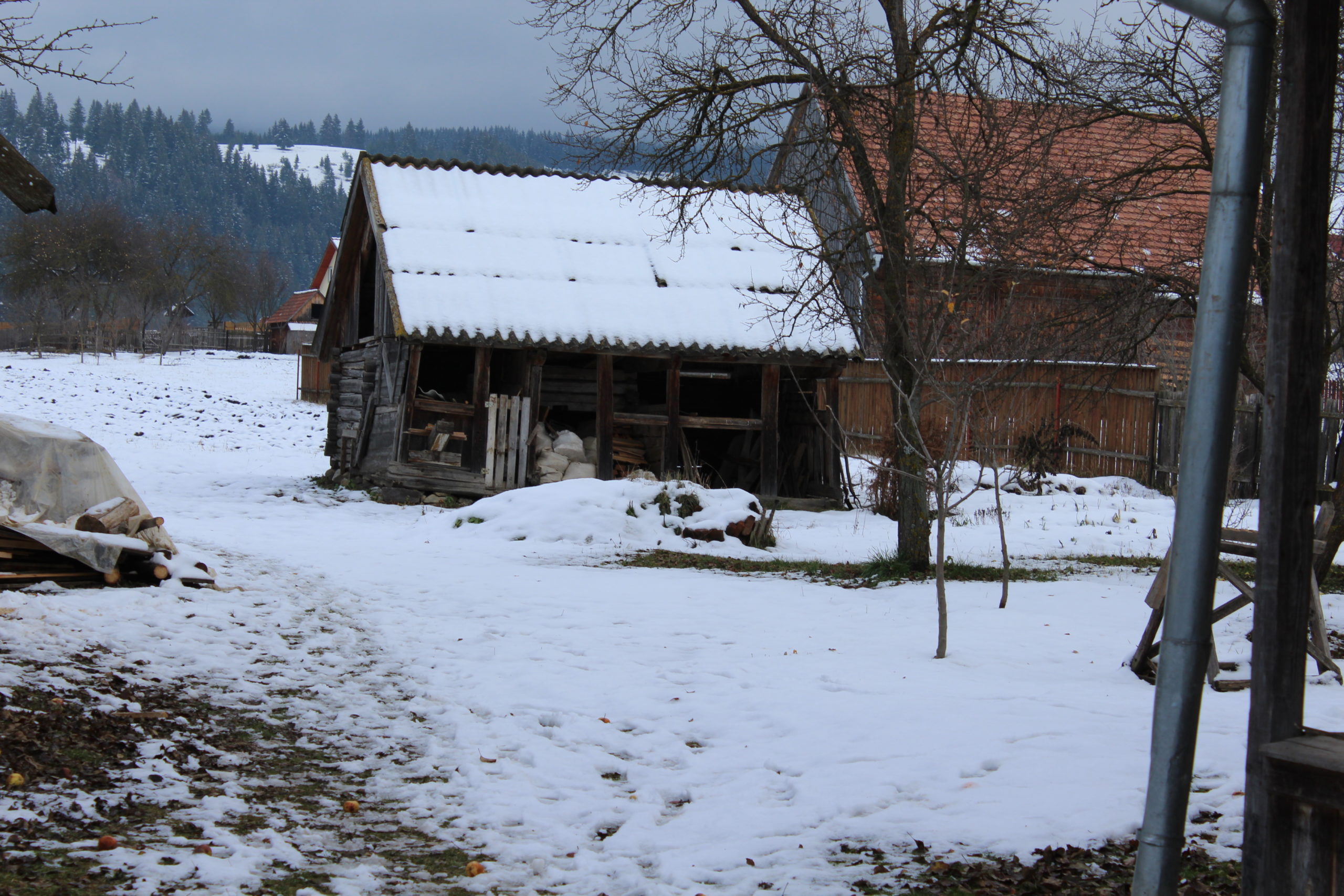
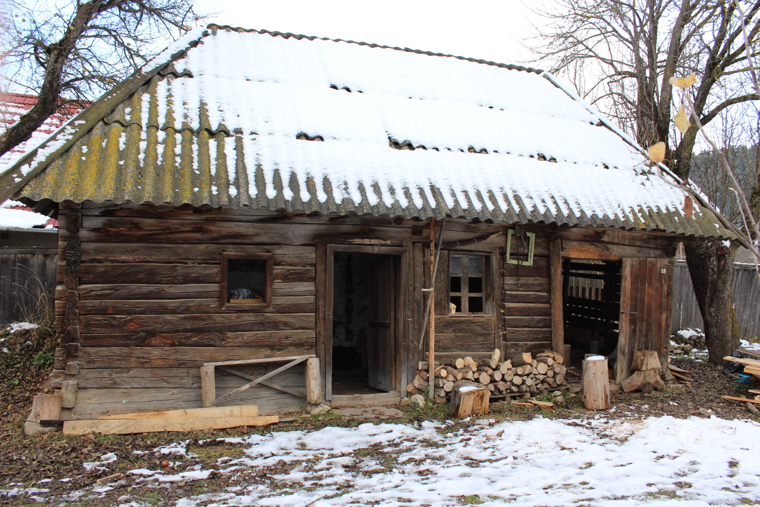
- 9. – șură
- 18. – șură
- 19. – șură
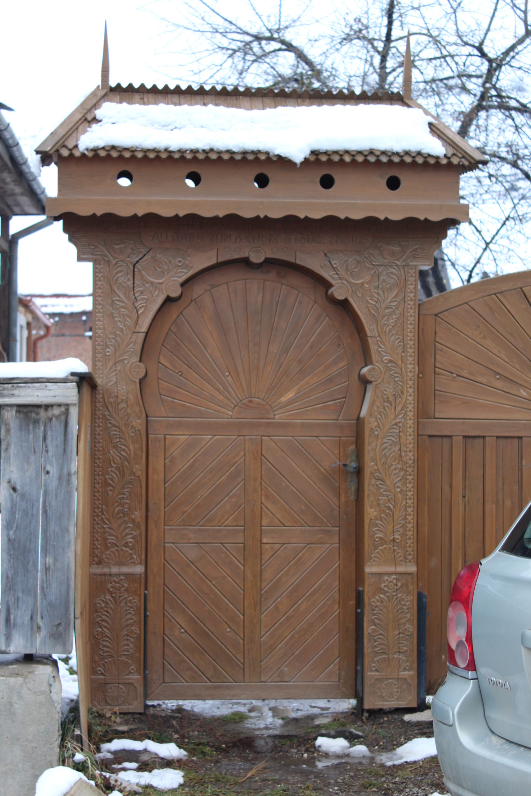
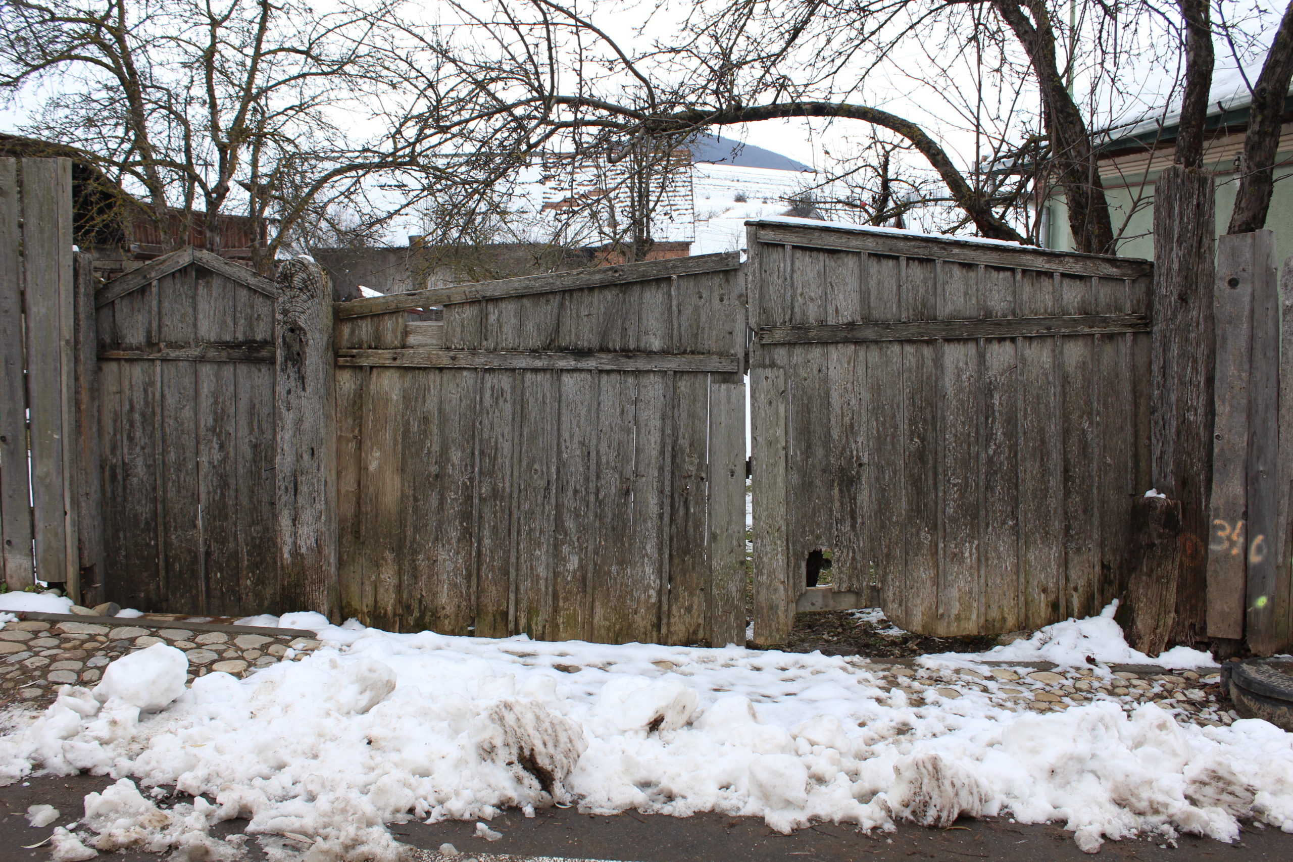
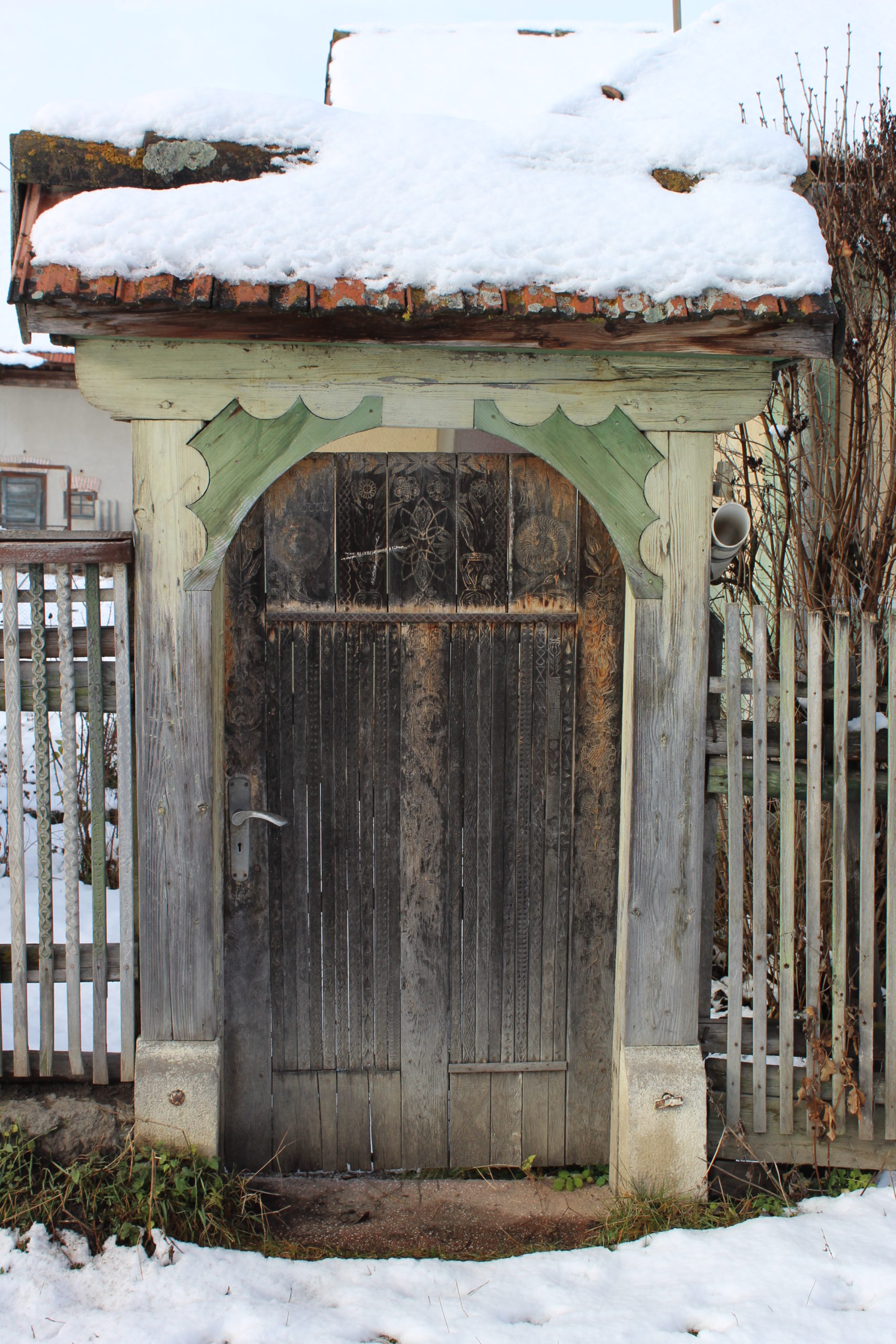
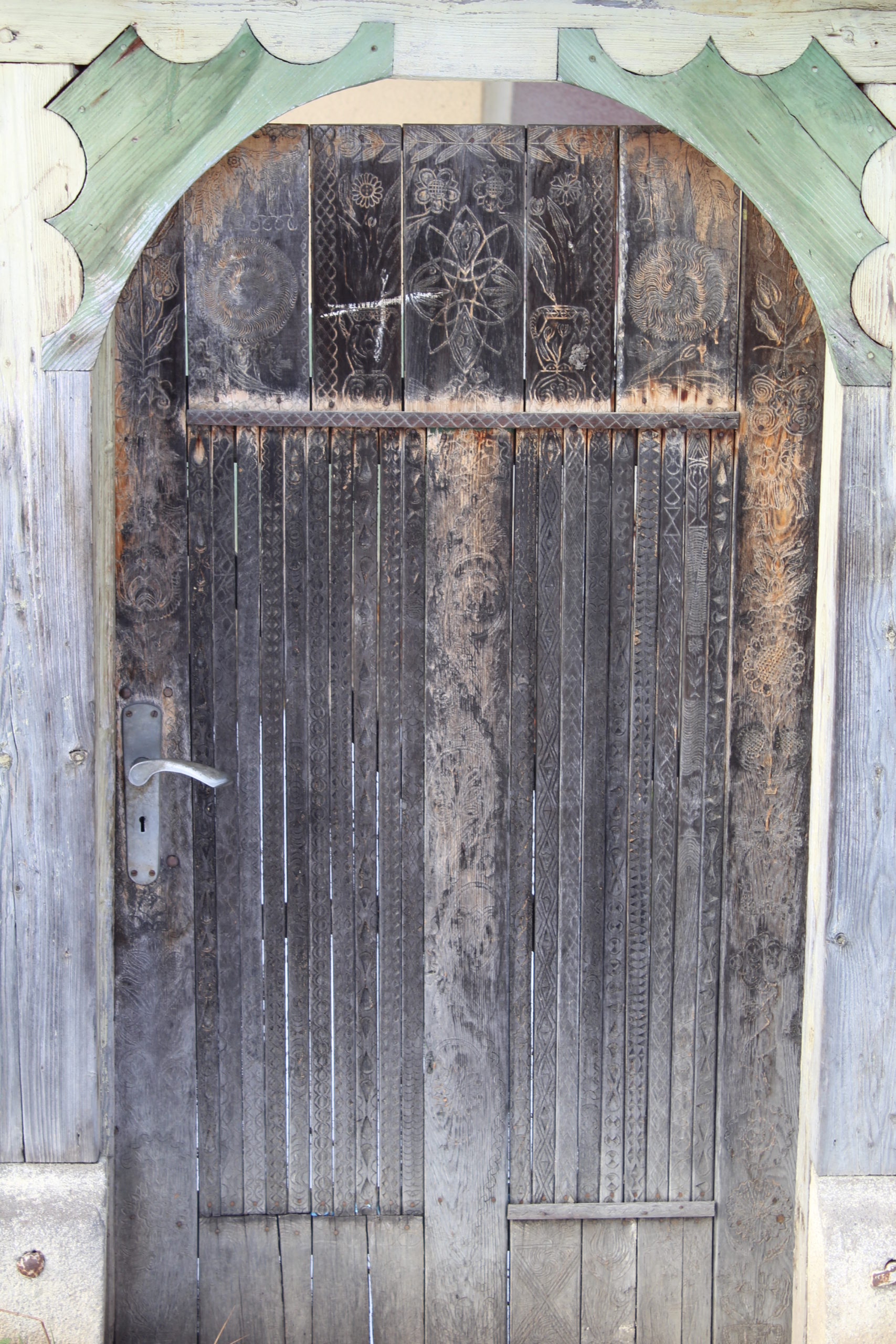
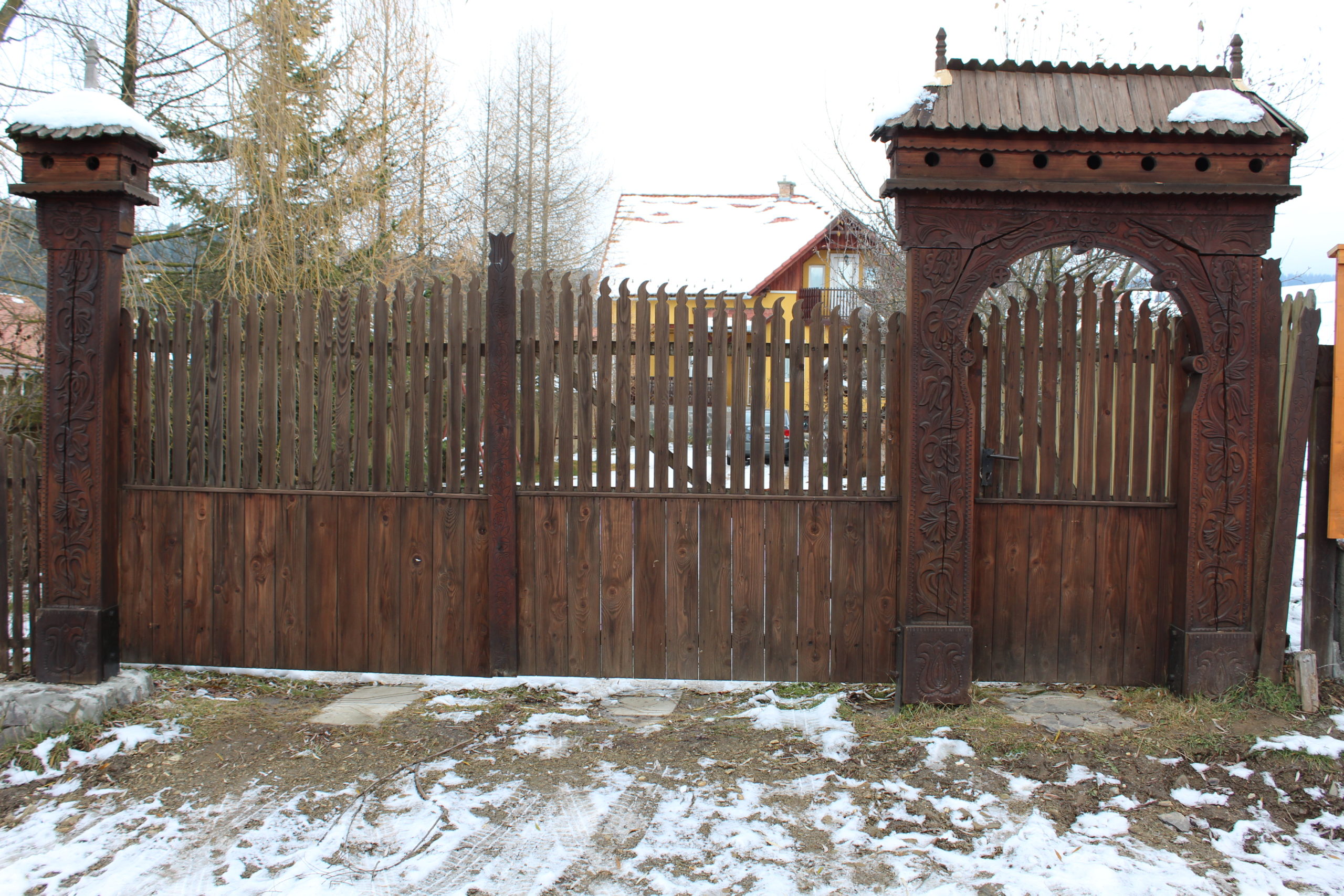
- 21. – poartă
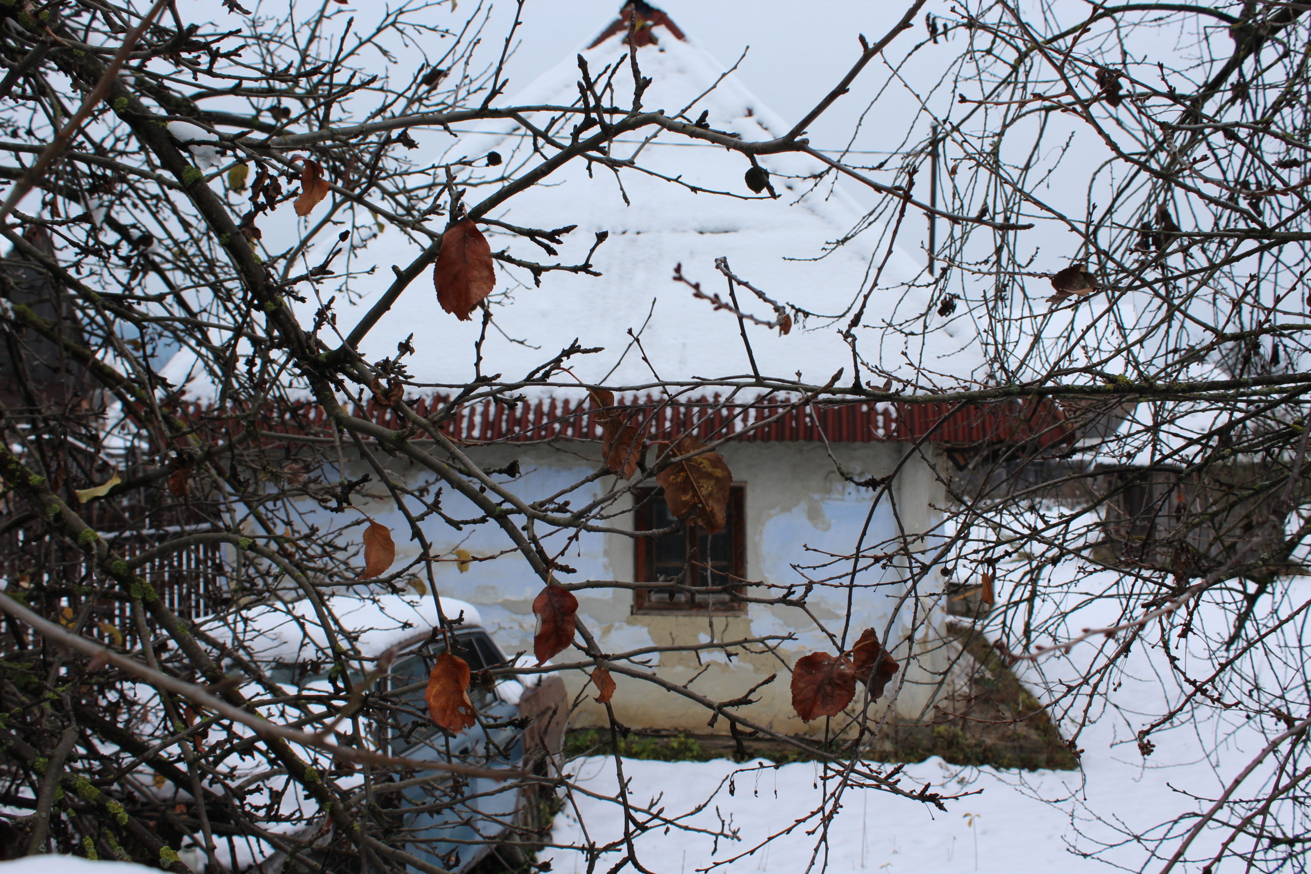
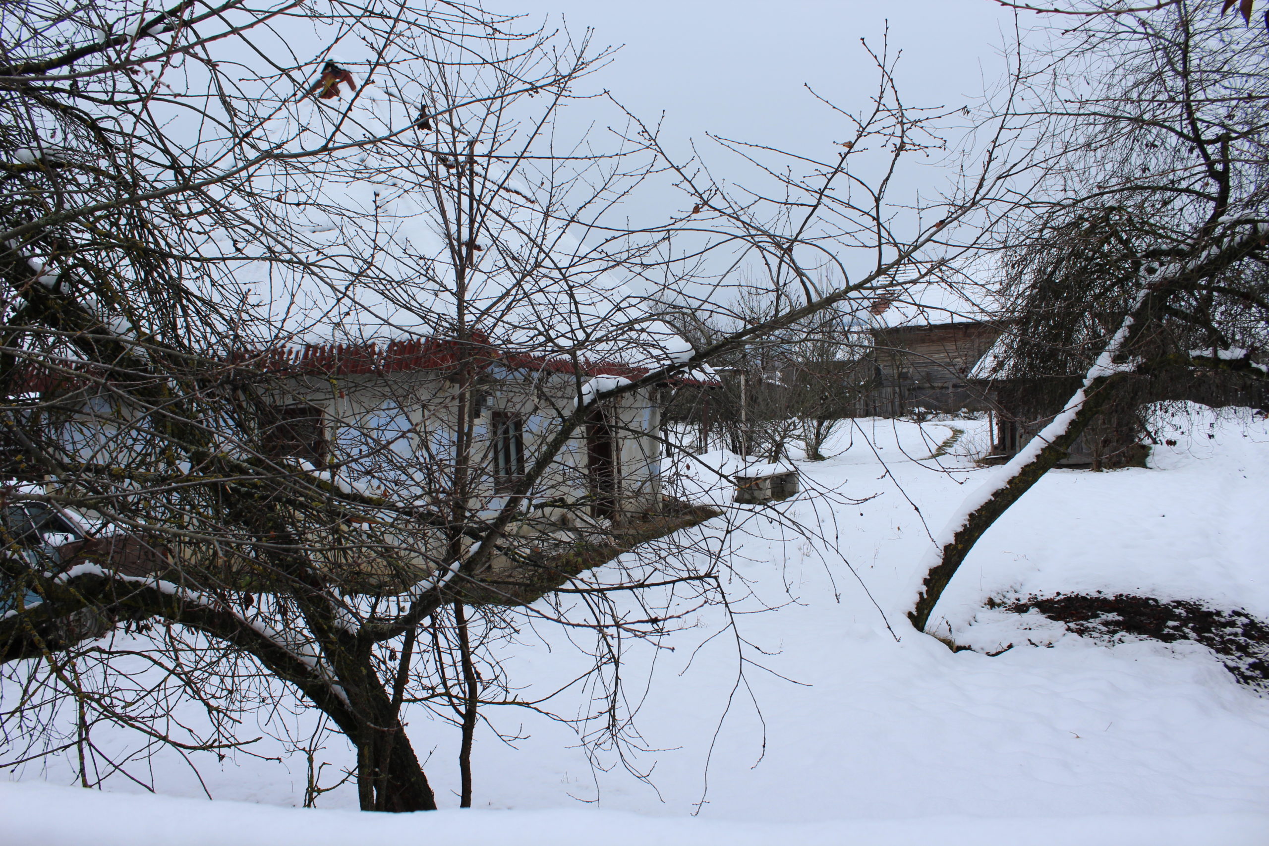
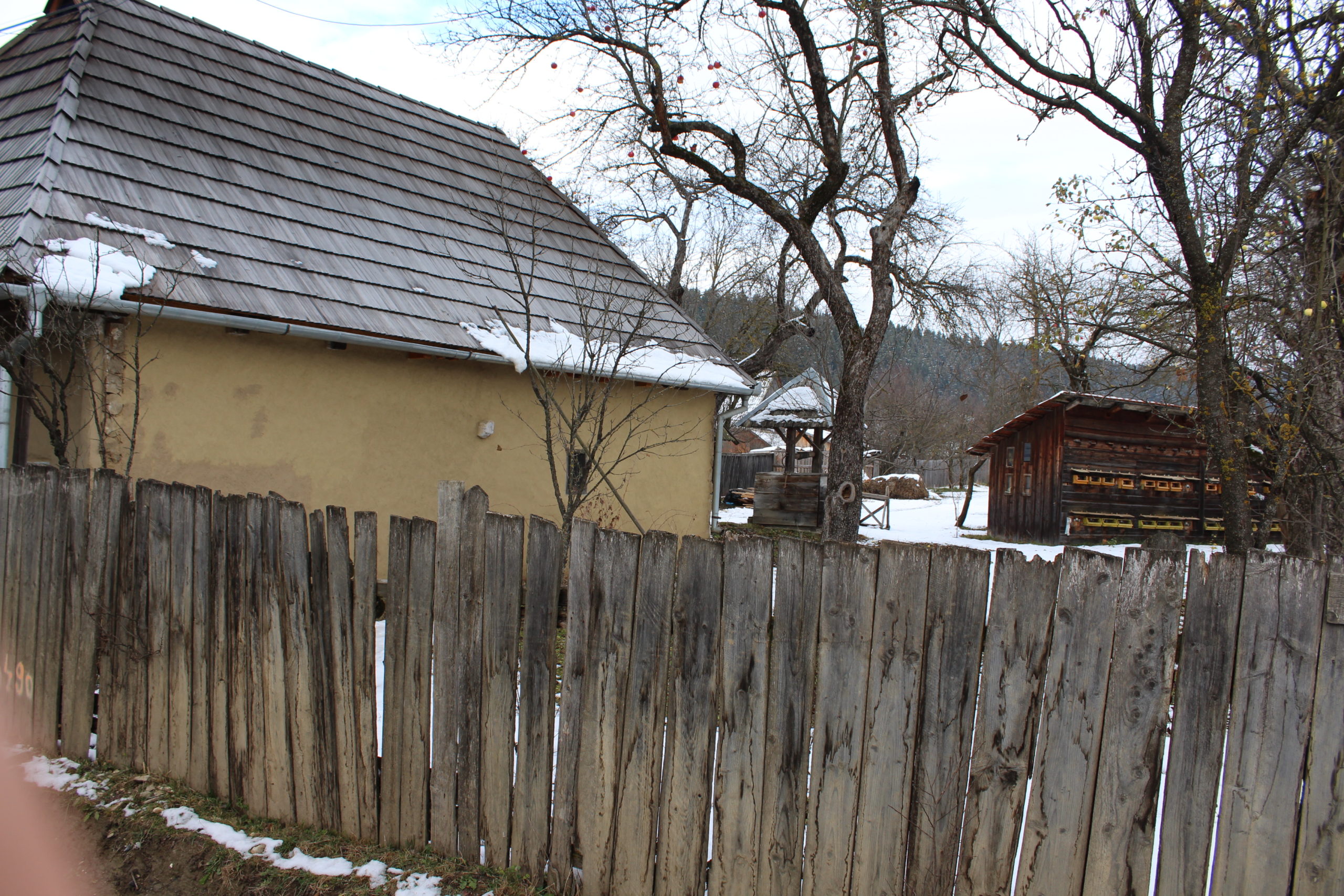
- 33. – casă de locuit
- 42A. – șură
- 67. – gospodărie
- 68. – gospodărie
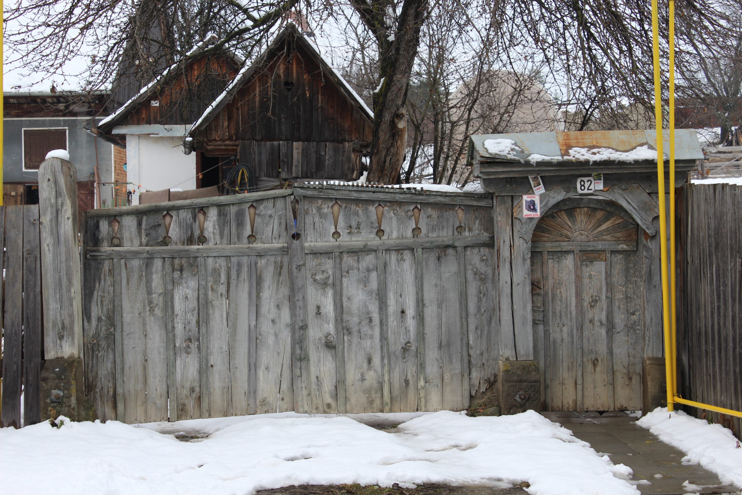
- 82. – poartă
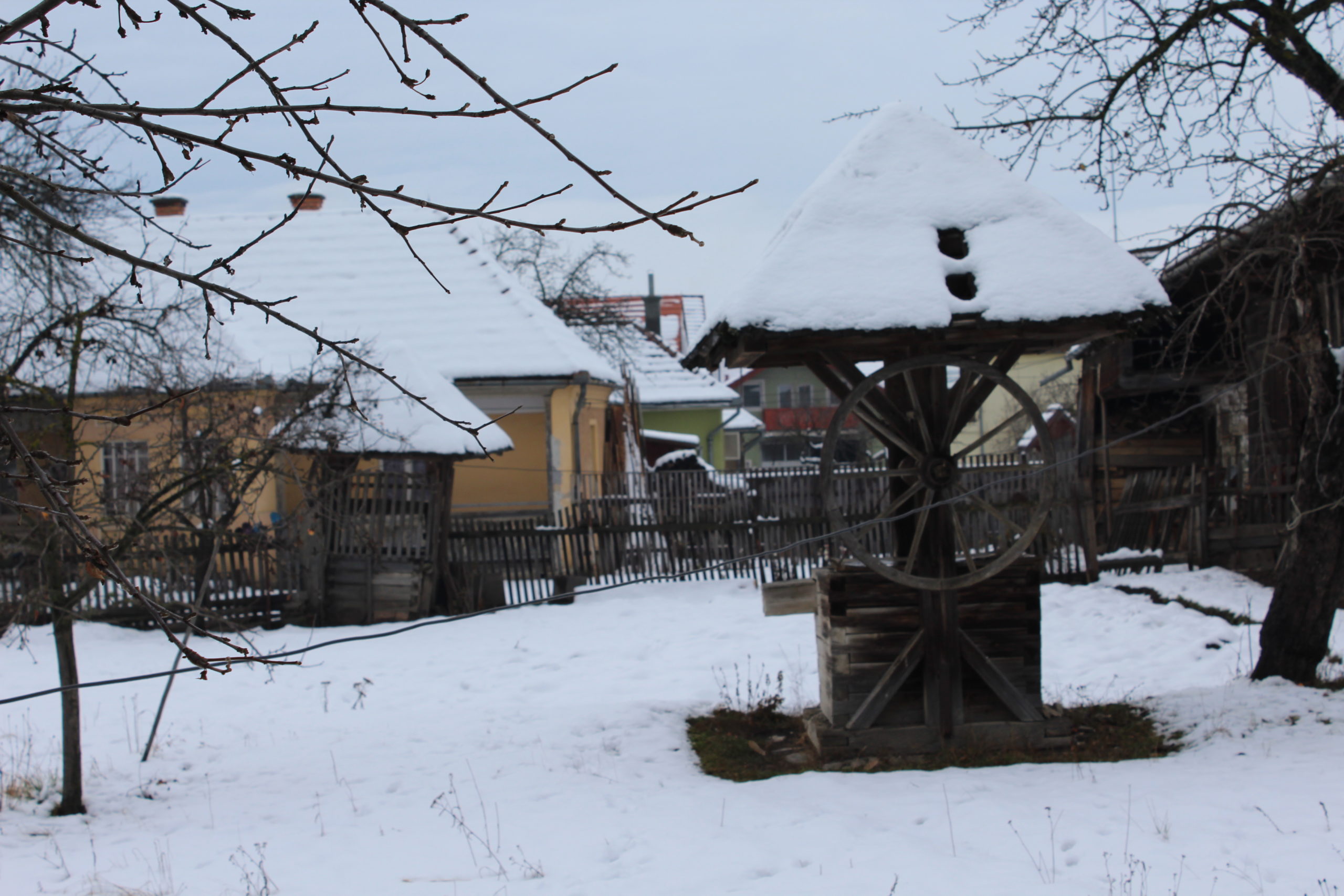
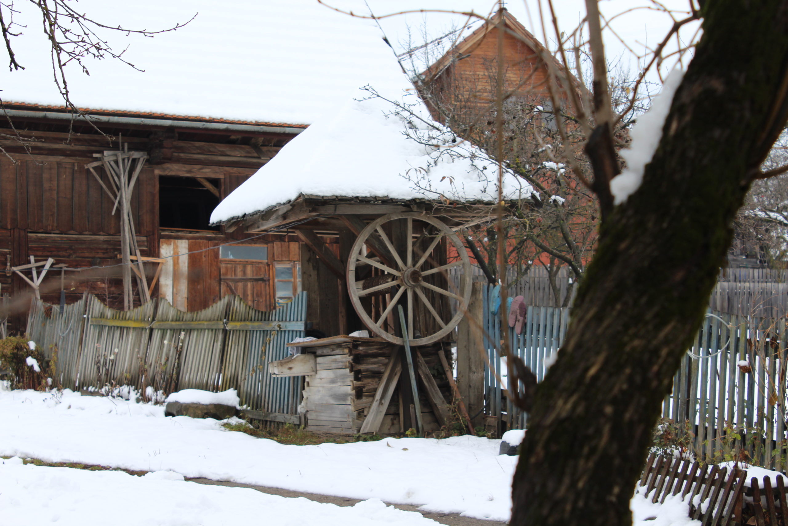
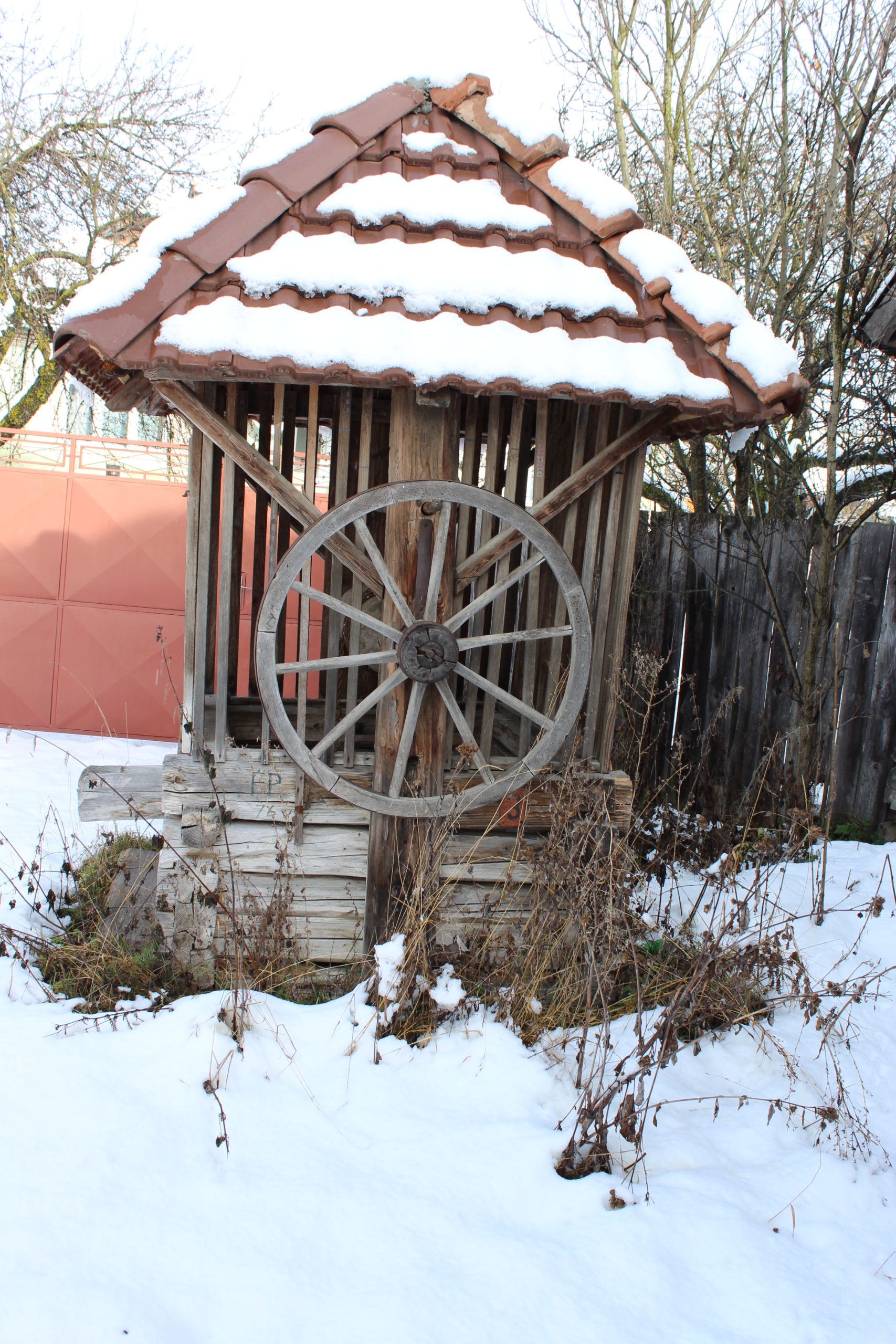
- 83. – fântână
- 93. – poartă
- 94. – fântână
- 94. – poartă
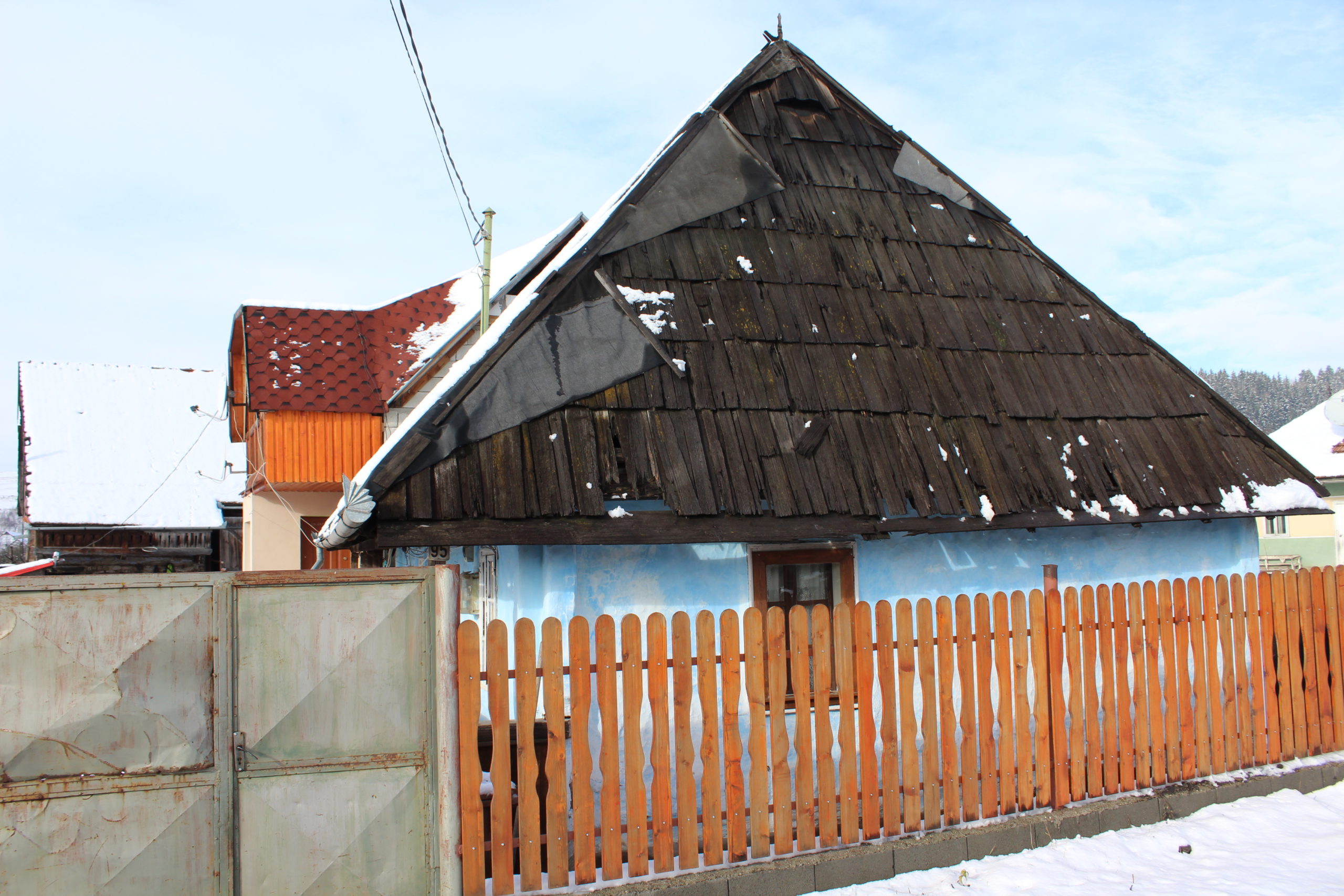
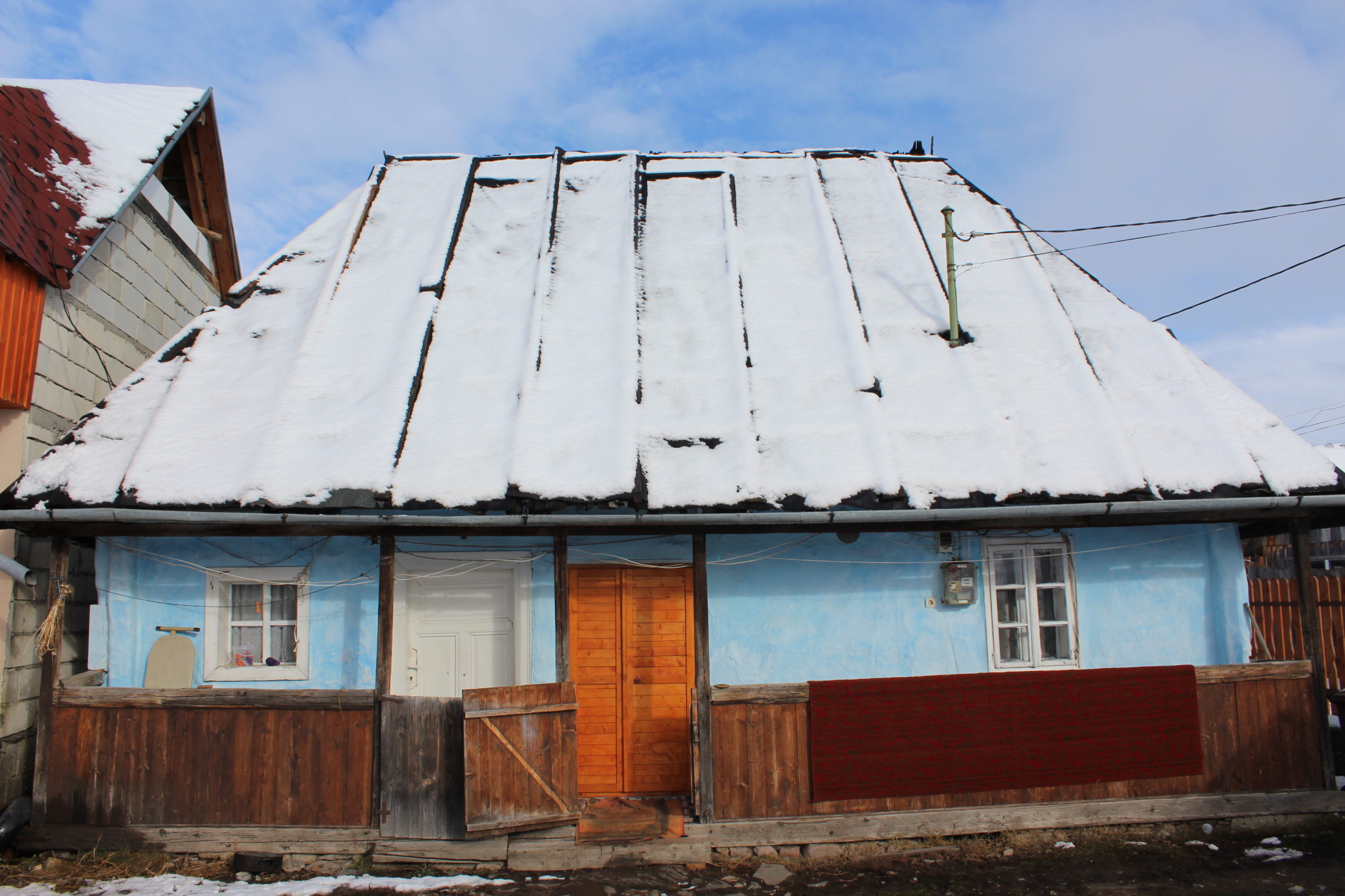
- 95. – casă de locuit
- 97. – șură
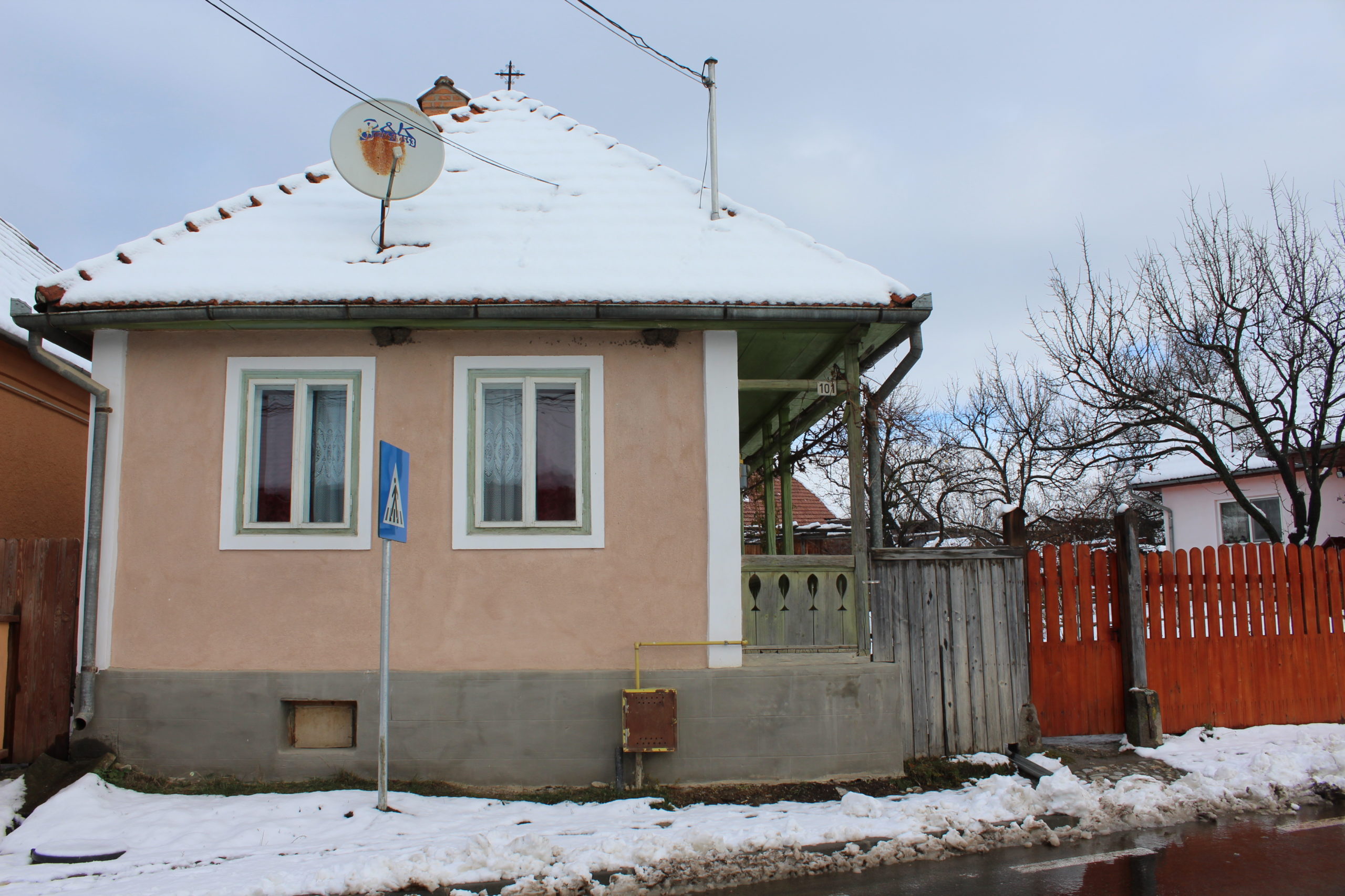
- 101. – casă
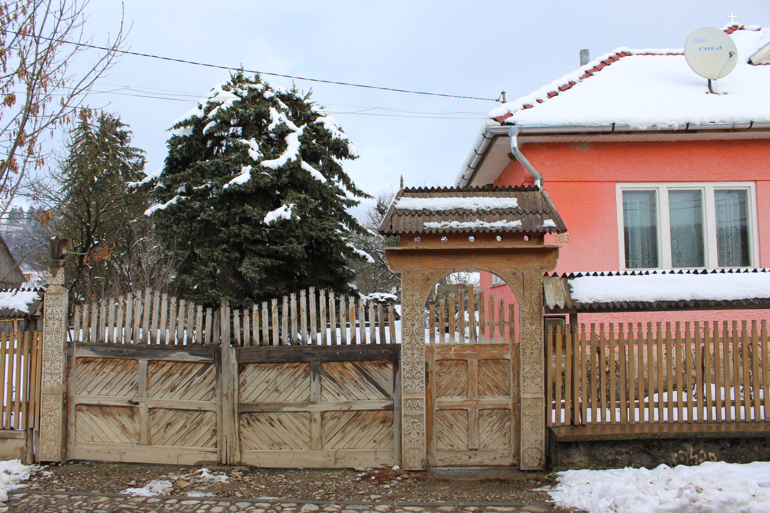
- 103. – poartă
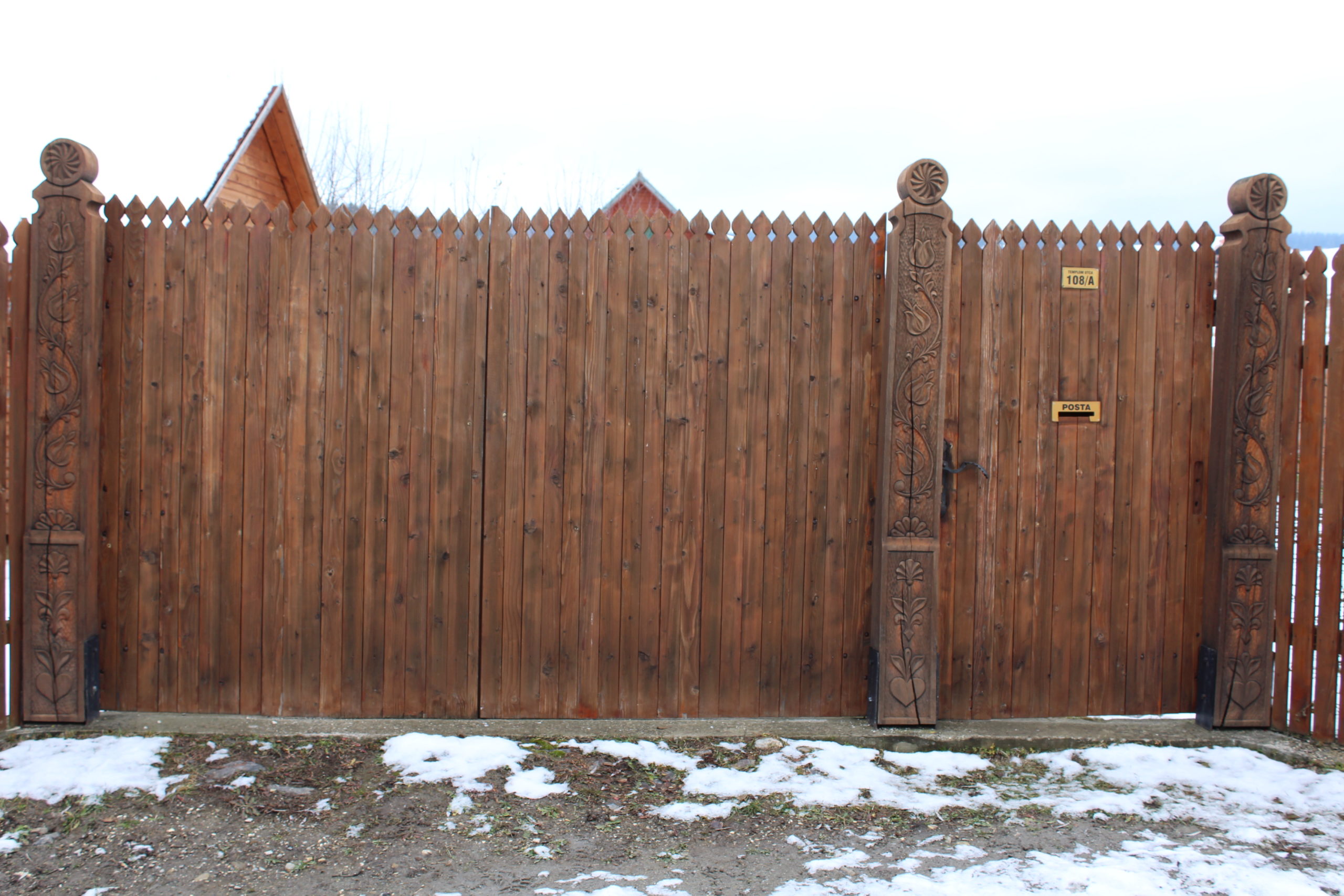
- 108A. – poartă
- 109. – poartă
- 112. – gospodărie
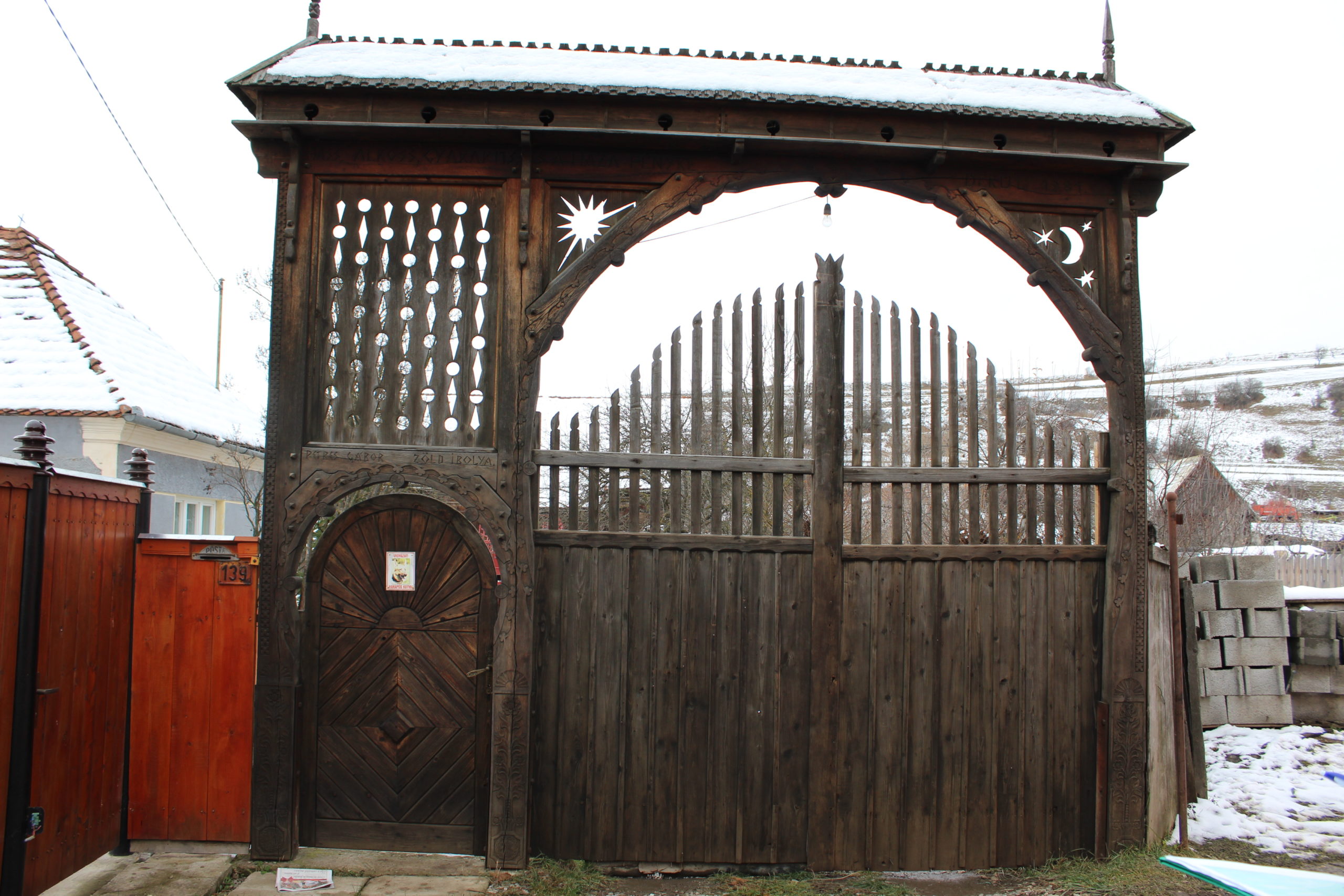
- 139. – poartă
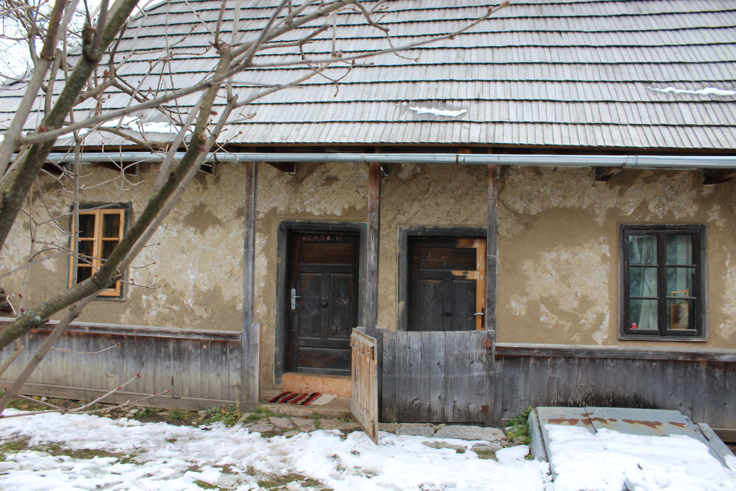
- 155B. – casă de locuit
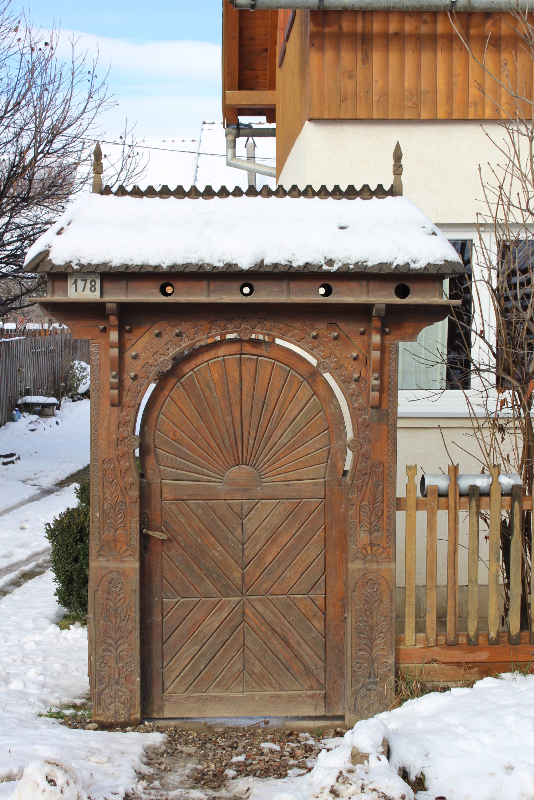
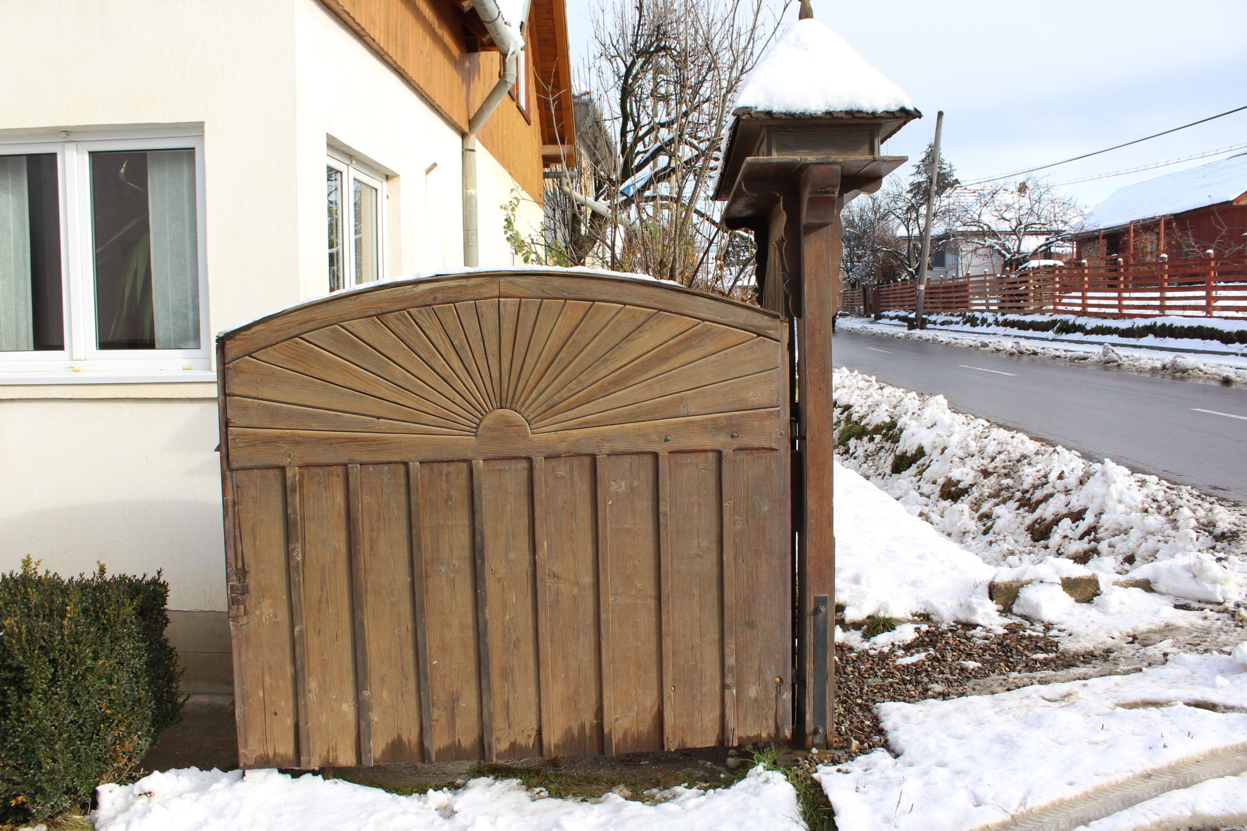
- 178. – poartă
- 180. – poartă
- 182. – șură
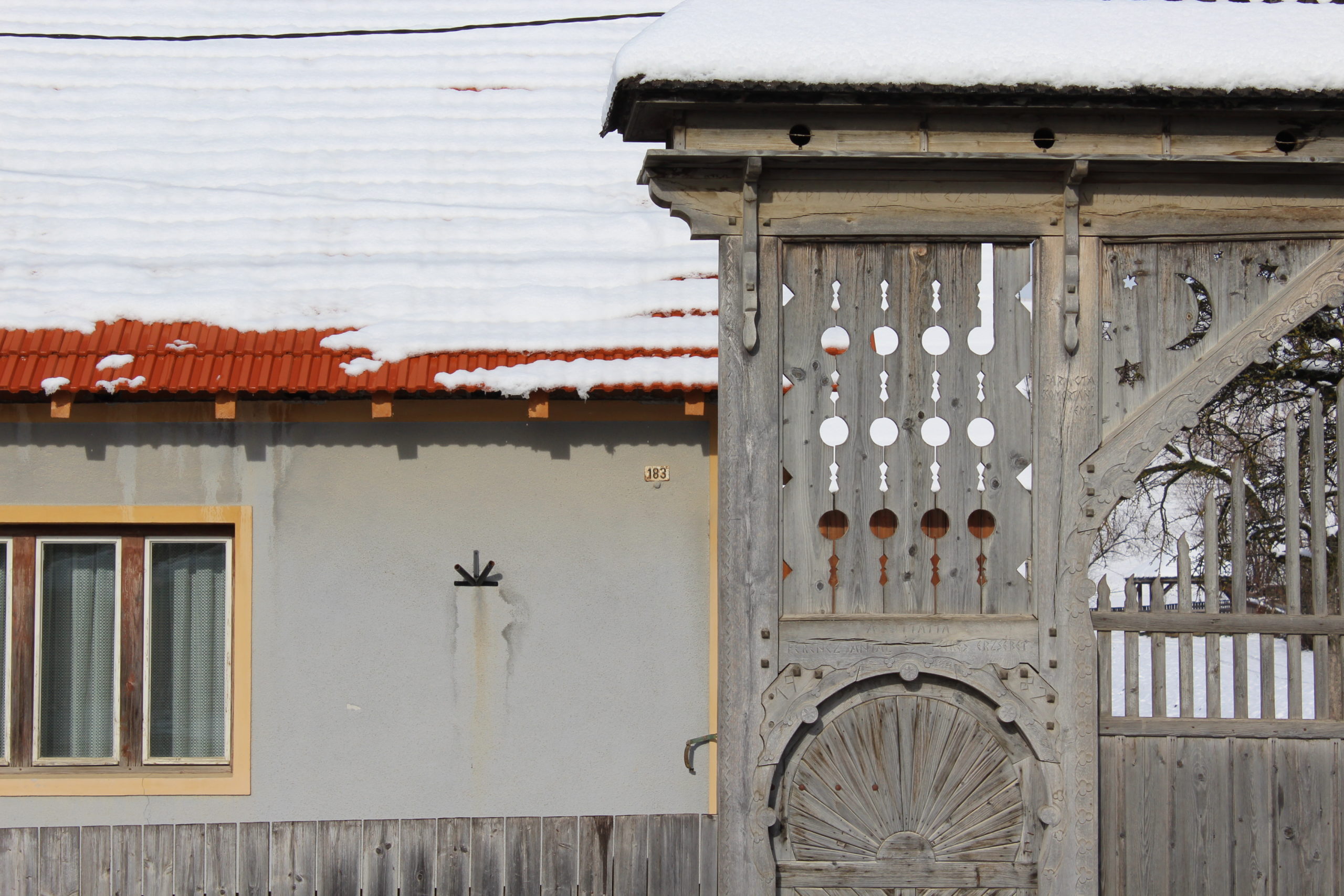
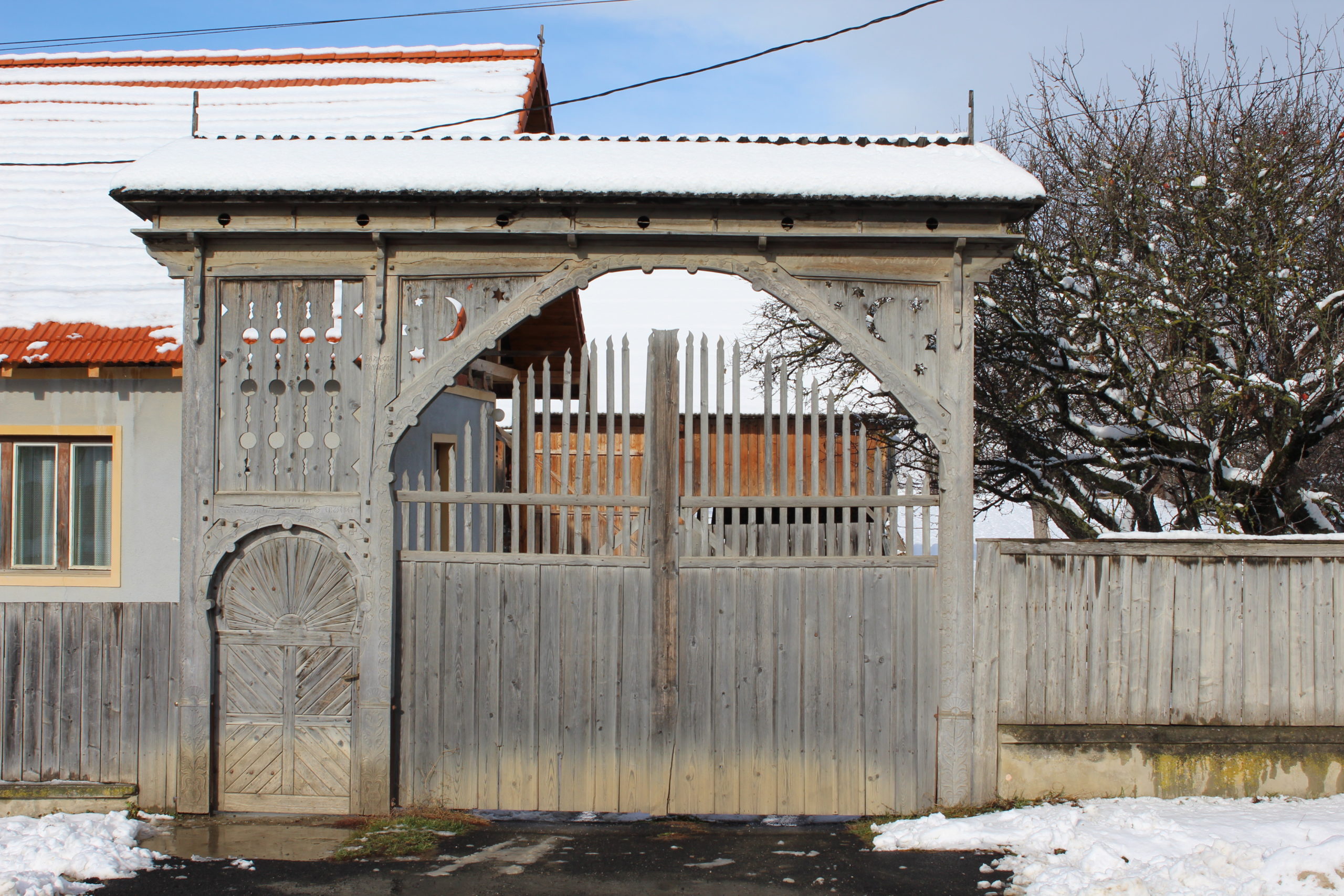
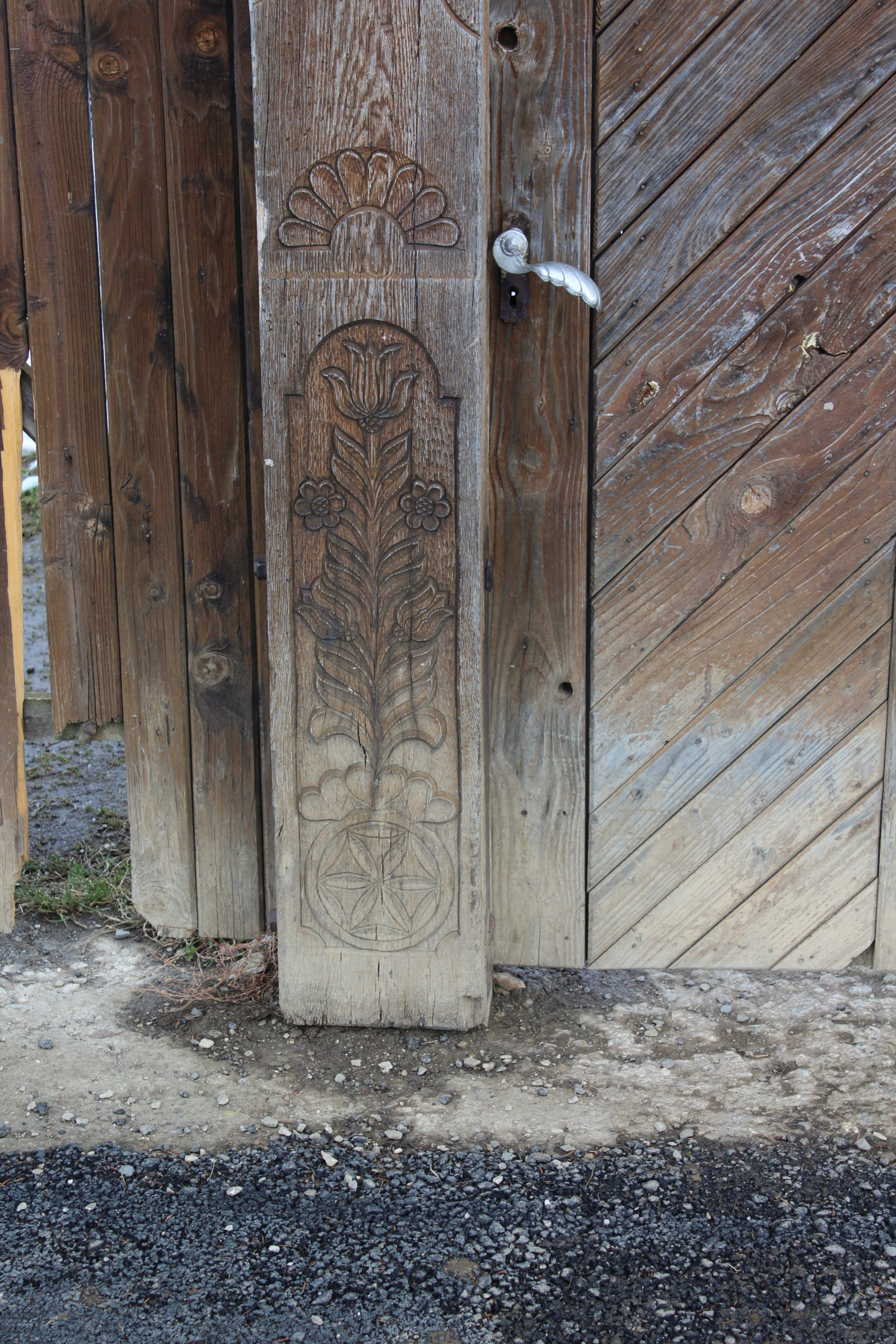
- 183. – poartă
- 184. – poartă
- Anexă în intersectie
- Fântână în stradă
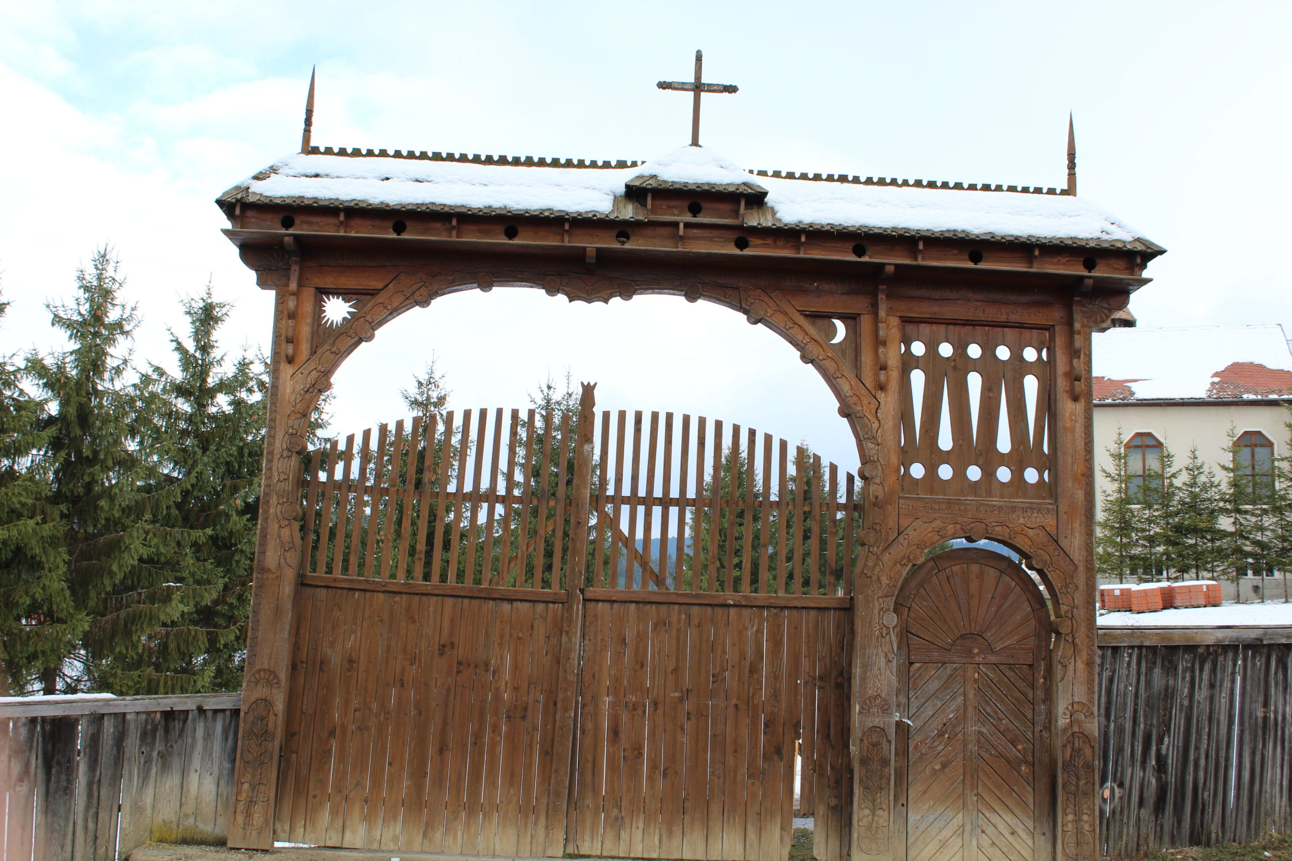
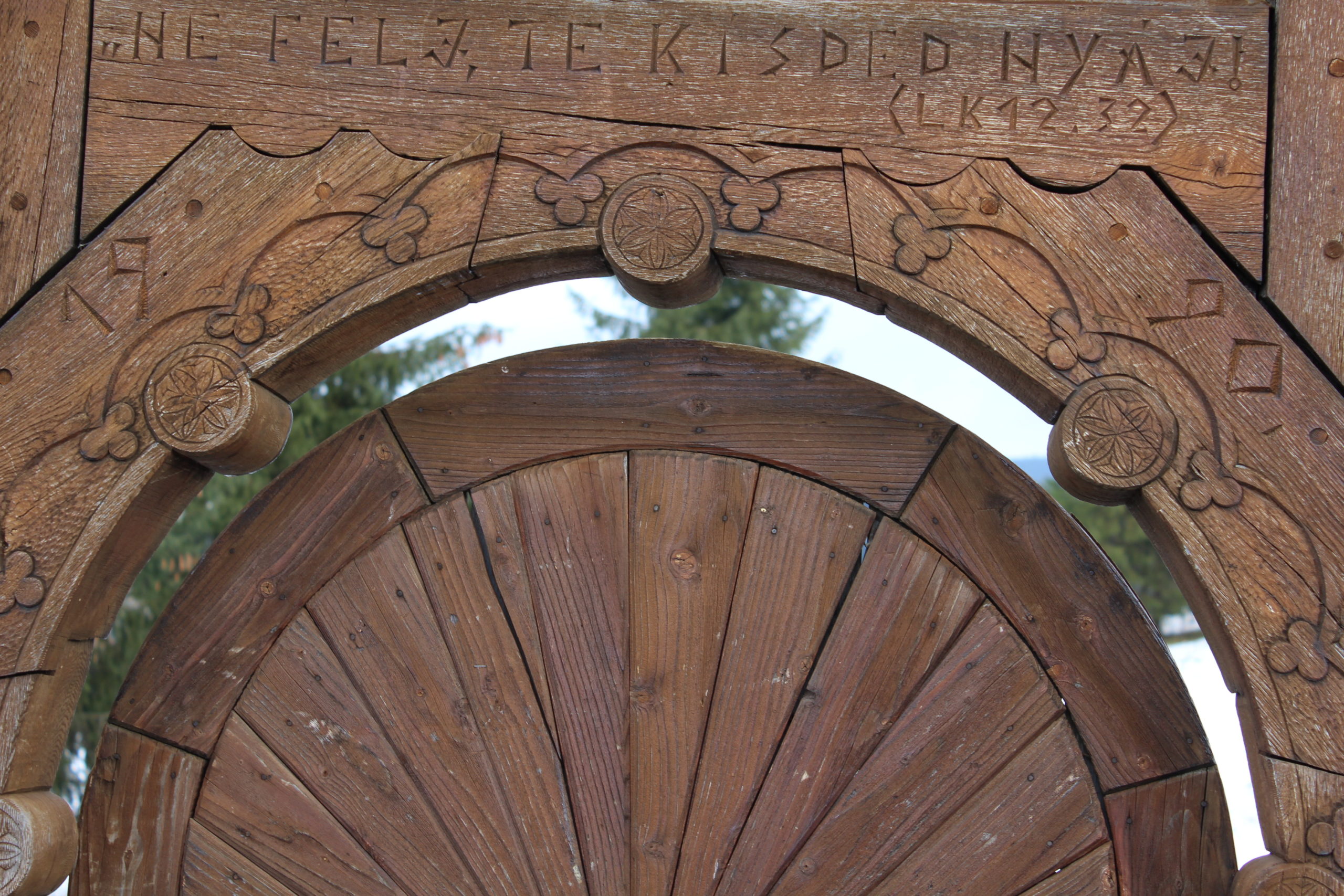
- Poarta bisericii
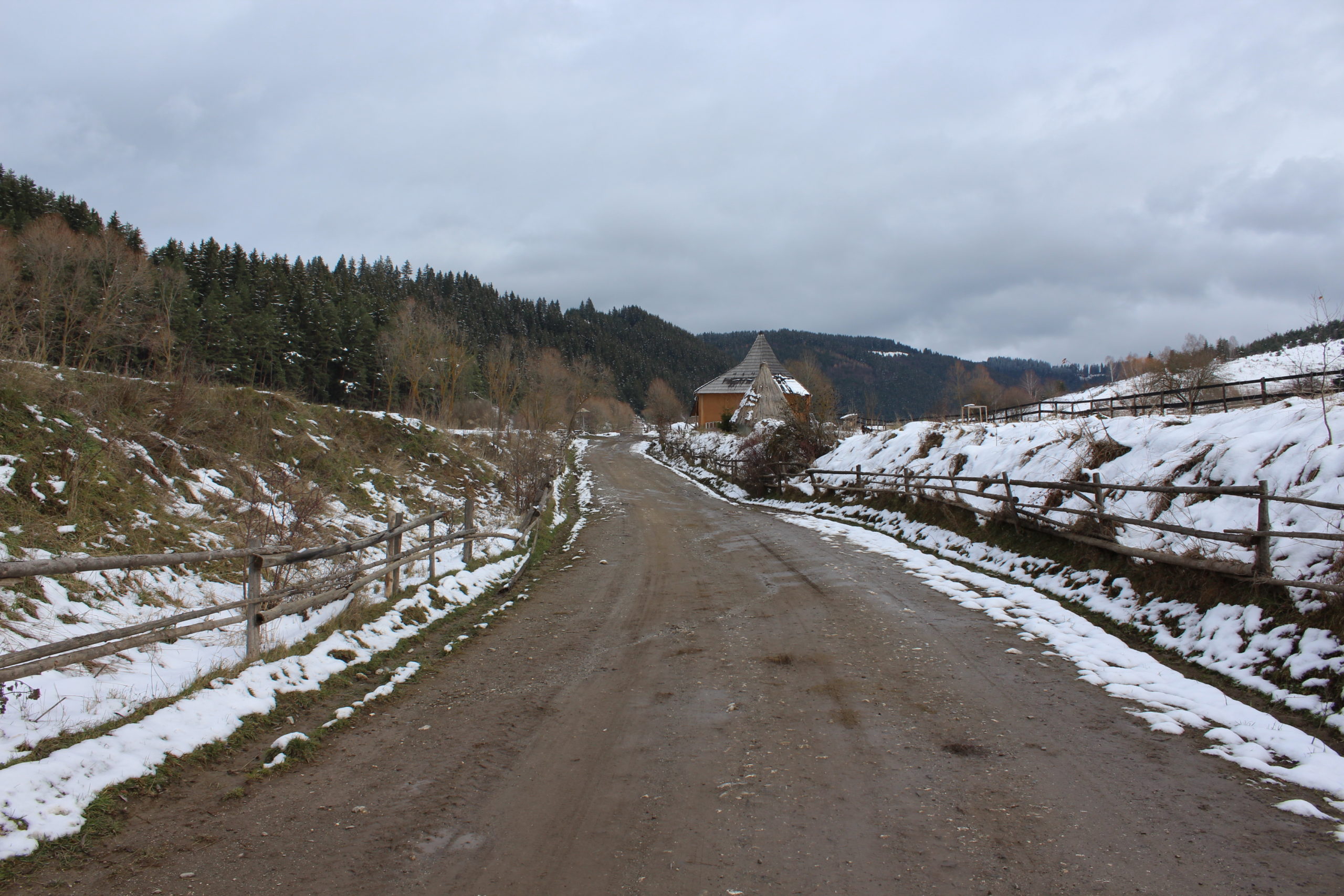
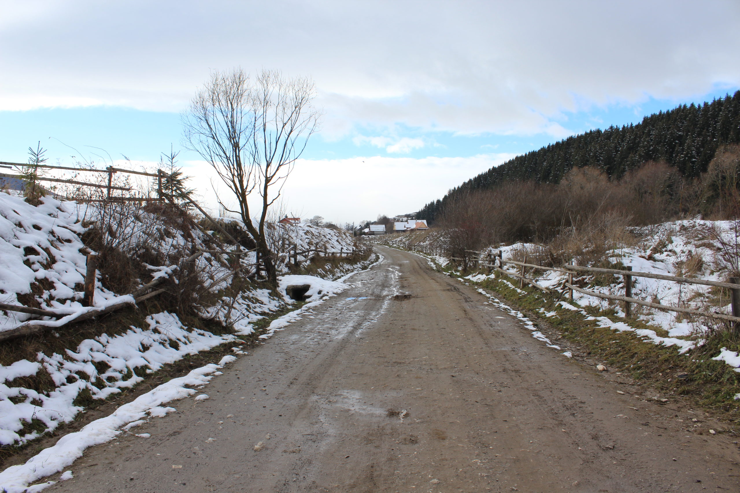
- Porțiune de drum spre est


YOUR COMMENT