
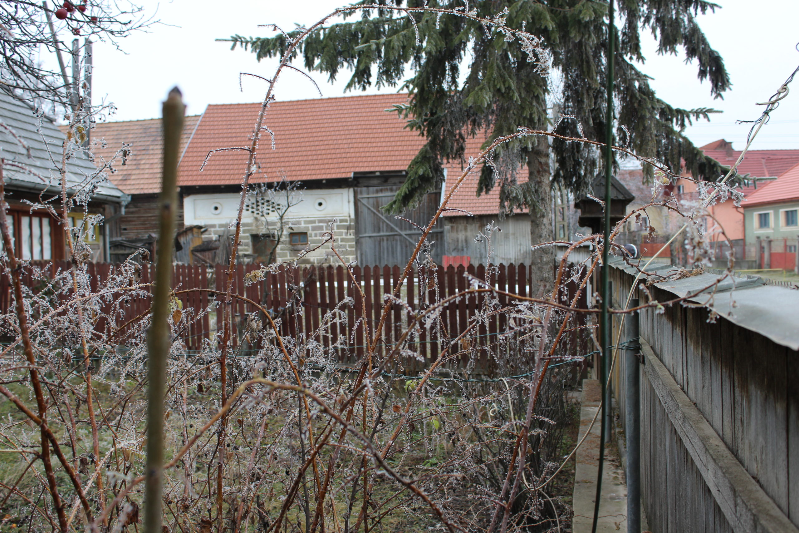
Satul Păuleni Ciuc, reședința comunei Păuleni Ciuc se situează în partea estică a Depresiunii Ciucului de Mijloc, la Nord de Șumuleu, la o altitudine de 740 m. Face parte din bazinul Ciucului de Mijloc, la o distanță de 5 km de Municipiul Miercurea-Ciuc. Localitatea este traversată de pârâiele Oroci (Aracs), Remetea (Remete) și Mesteacăn (Nyír). Se remarcă un topoclimat specific cu frecvente și persistente inversiuni termice nocturne și de iarnă, din care cauză sunt frecvente zilele de ceață (60-70 zile/an). Satul are suprafața de 76,83 ha. Profilul economic al satului este definit de zoo-agricultură, urmată de silvicultură și prelucrarea lemnului. Este un centru de meşteşuguri populare, una din locurile unde se mai produc ţesăturile tradiţionale de lână şi covoarele de lână vopsite, caracteristice zonei.
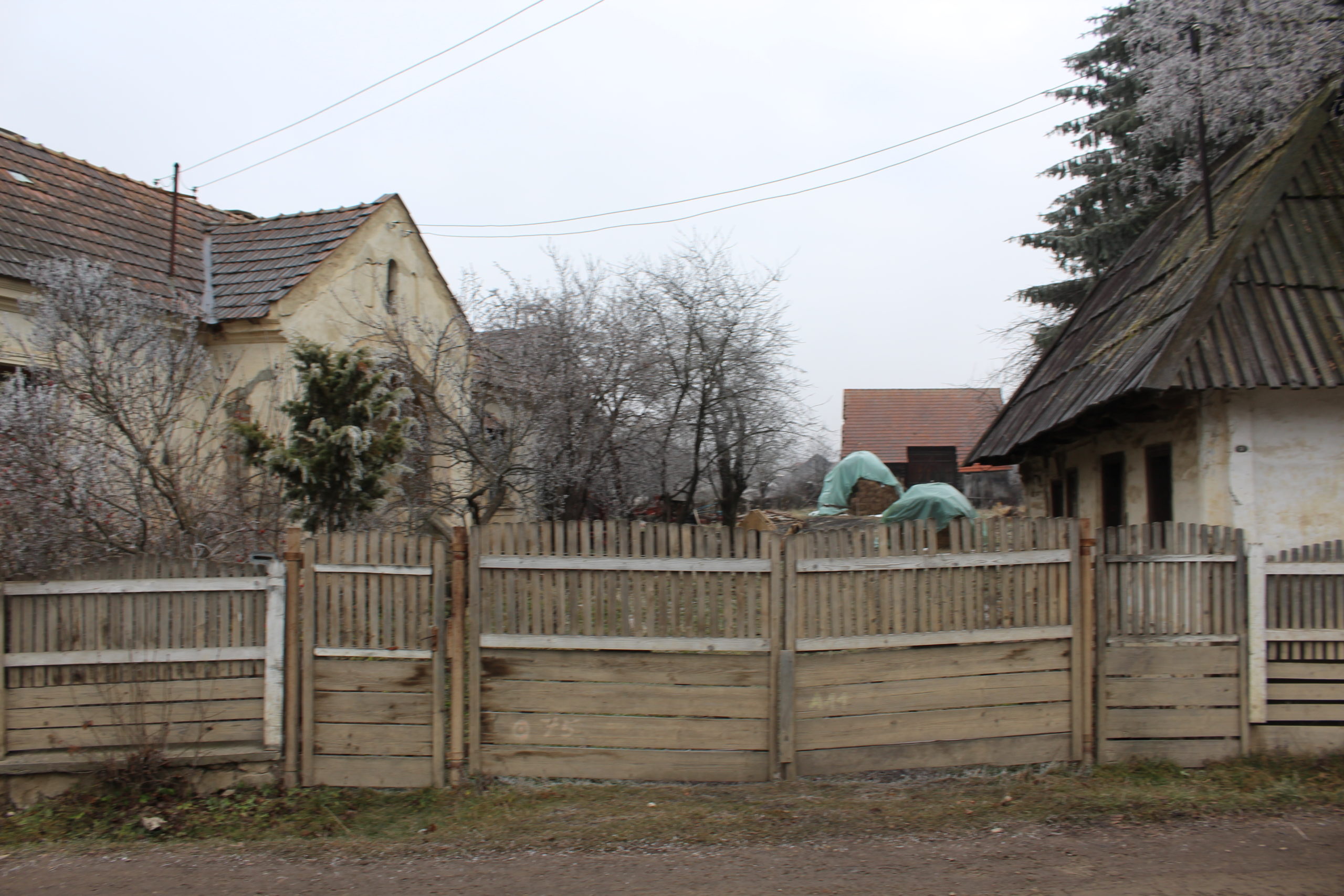
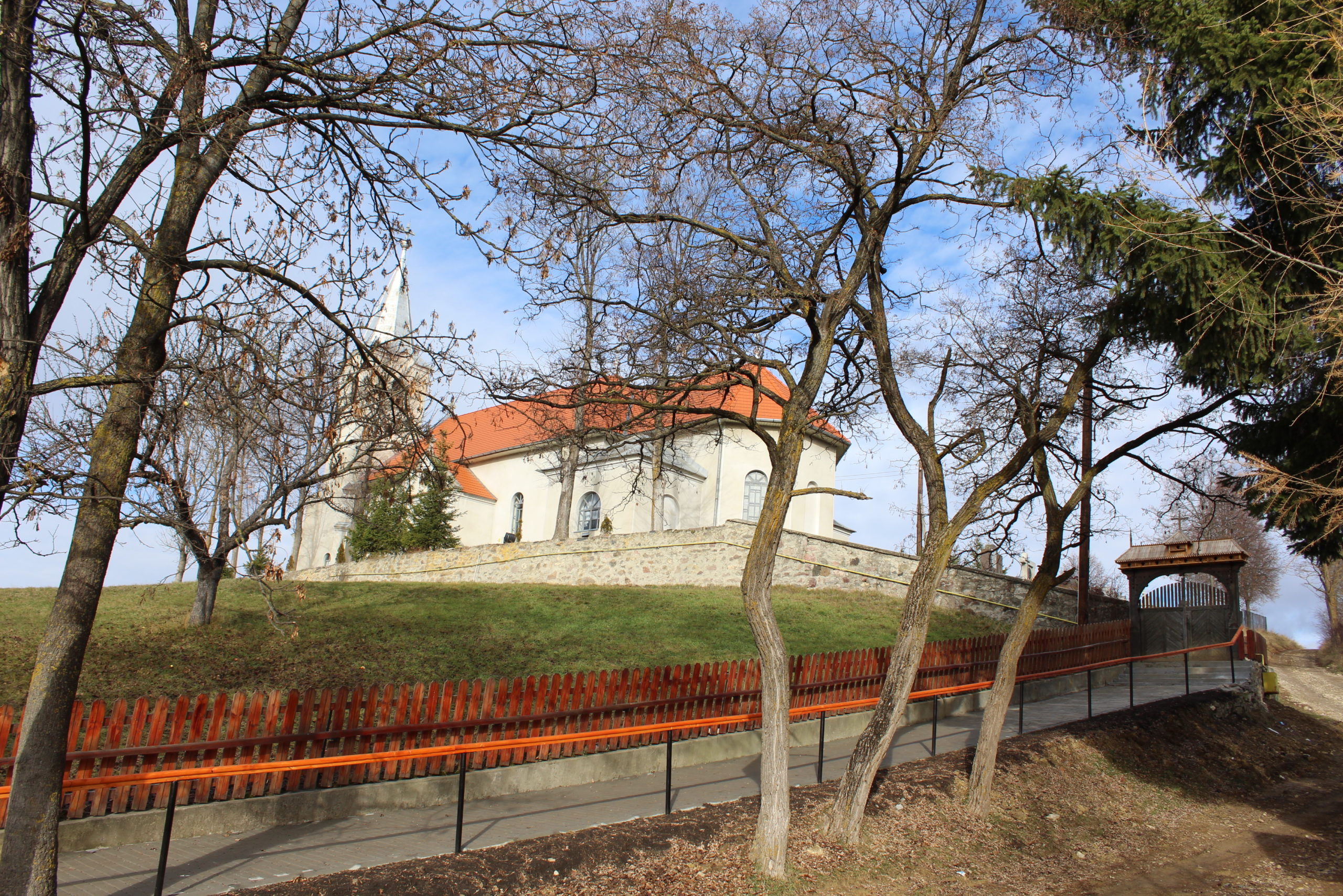
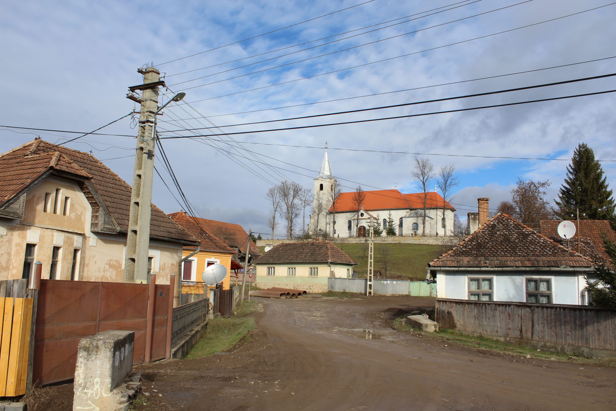
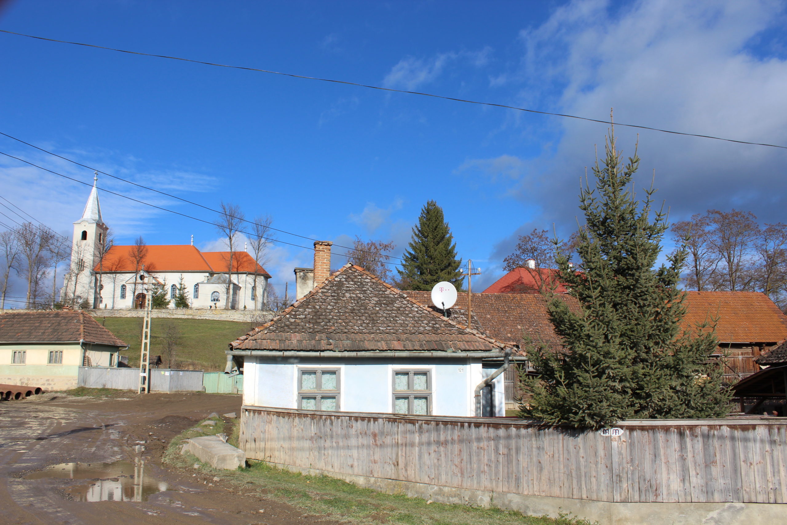
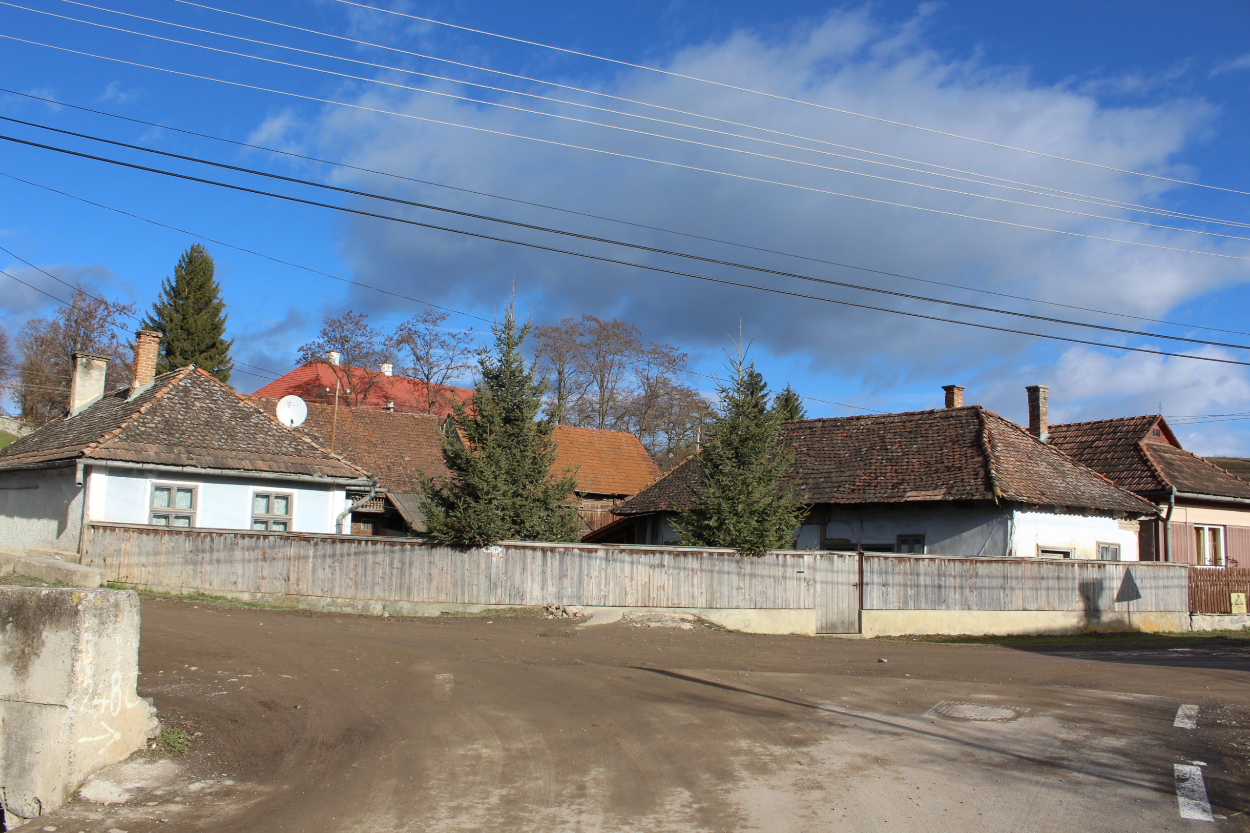
Satul se caracterizează de o structură adunat,ă cu rețea de străzi neordonate, cu construcții dispuse pe o structură parcelară tip bandă cu front stradal în pieptene, pe alocuri neregulat. Axa principală nord-vest – sud-est este axa generatoare a satului din care se ramifică străzile secundare șerpuitoare cu fundături, creând inele adiacente. Reperul cel mai important, biserica, se află la o poziție descentrată, la o altitudine mai mare, dominând perspectivele stradale.
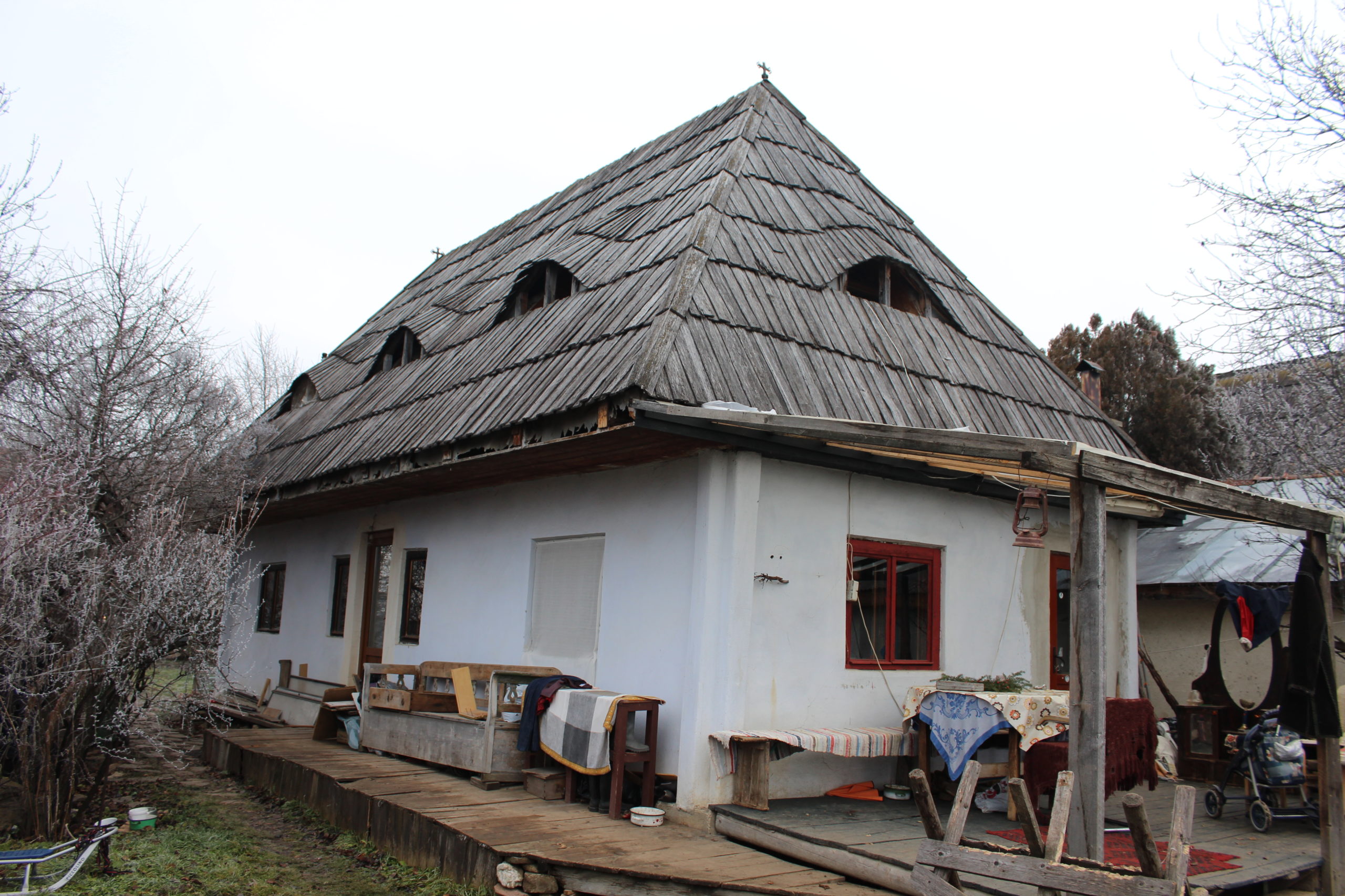
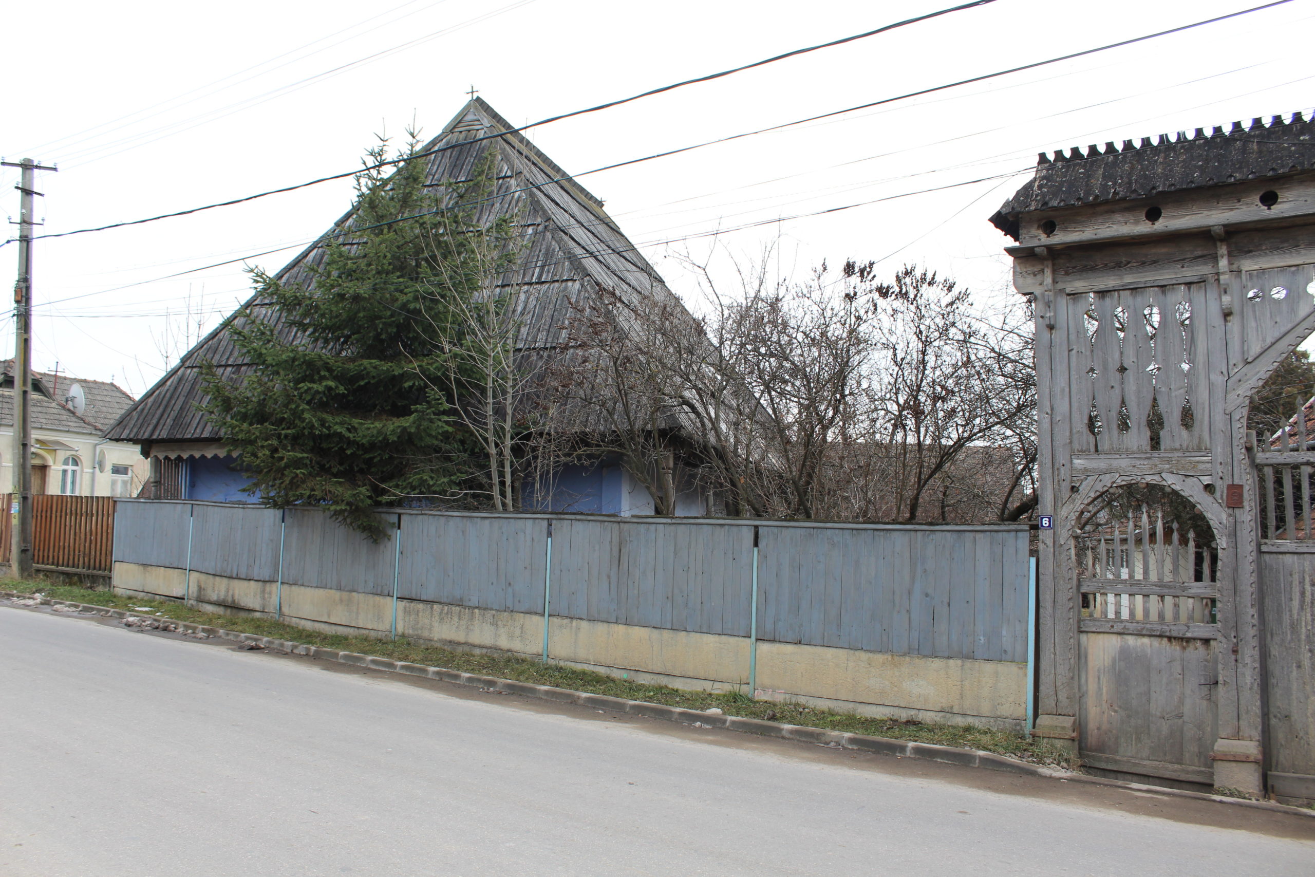
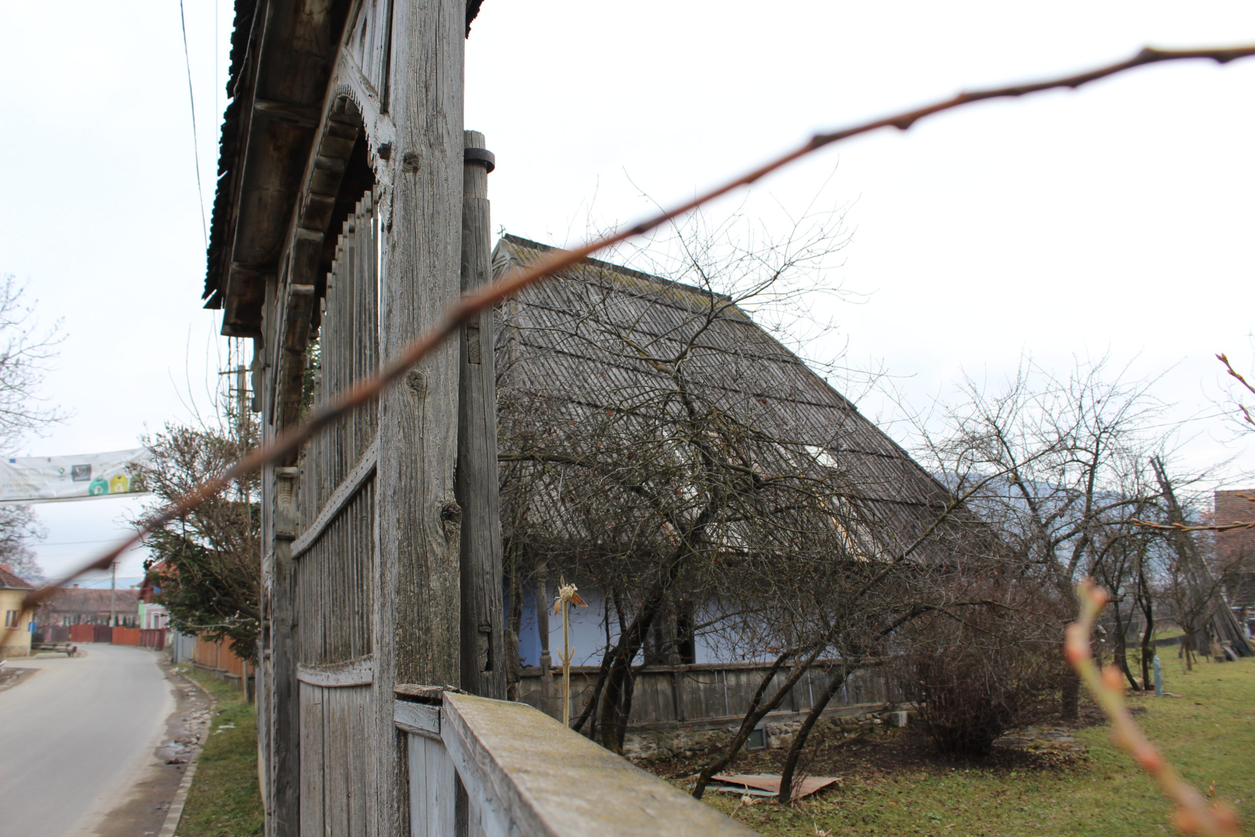
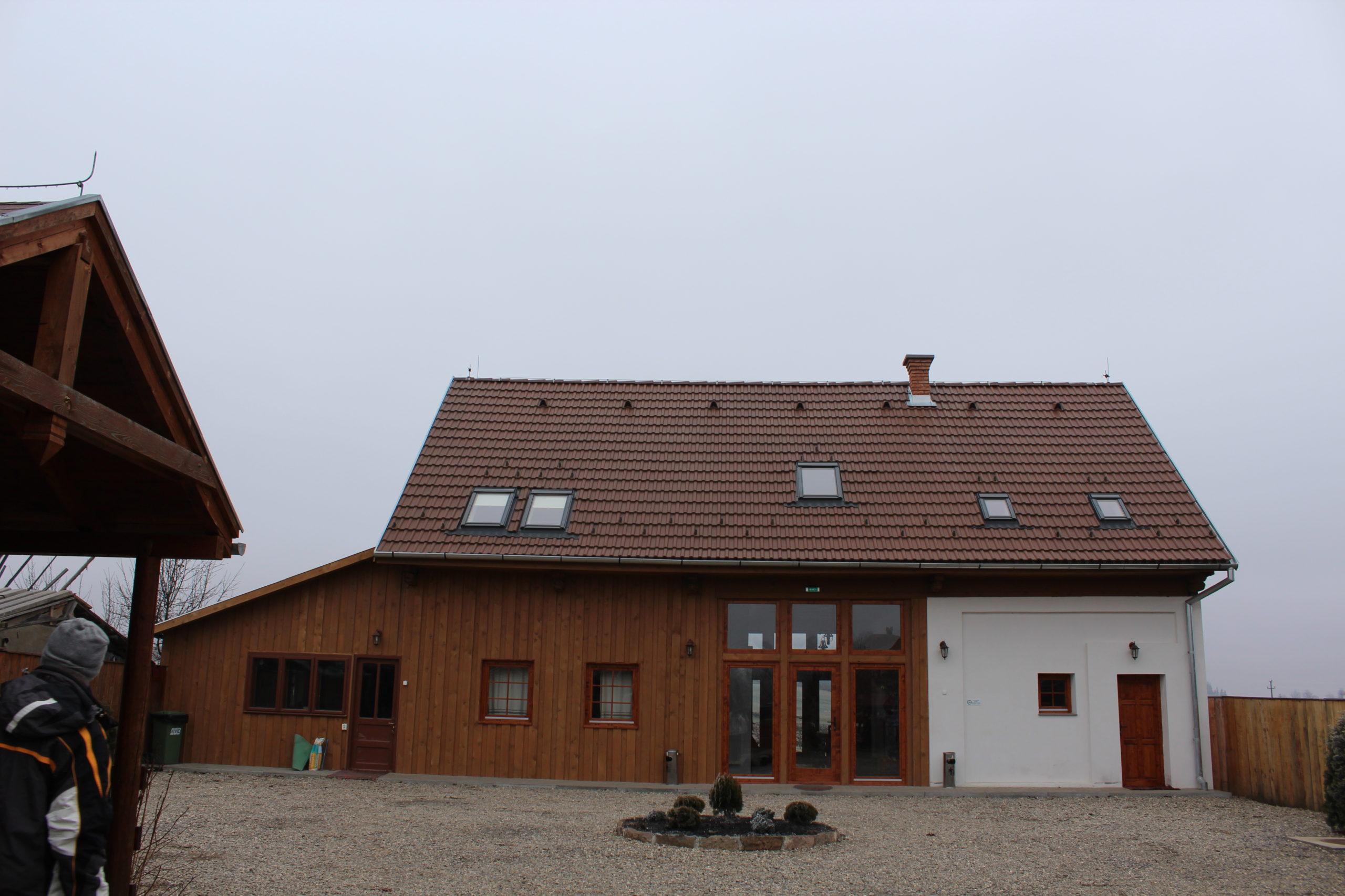
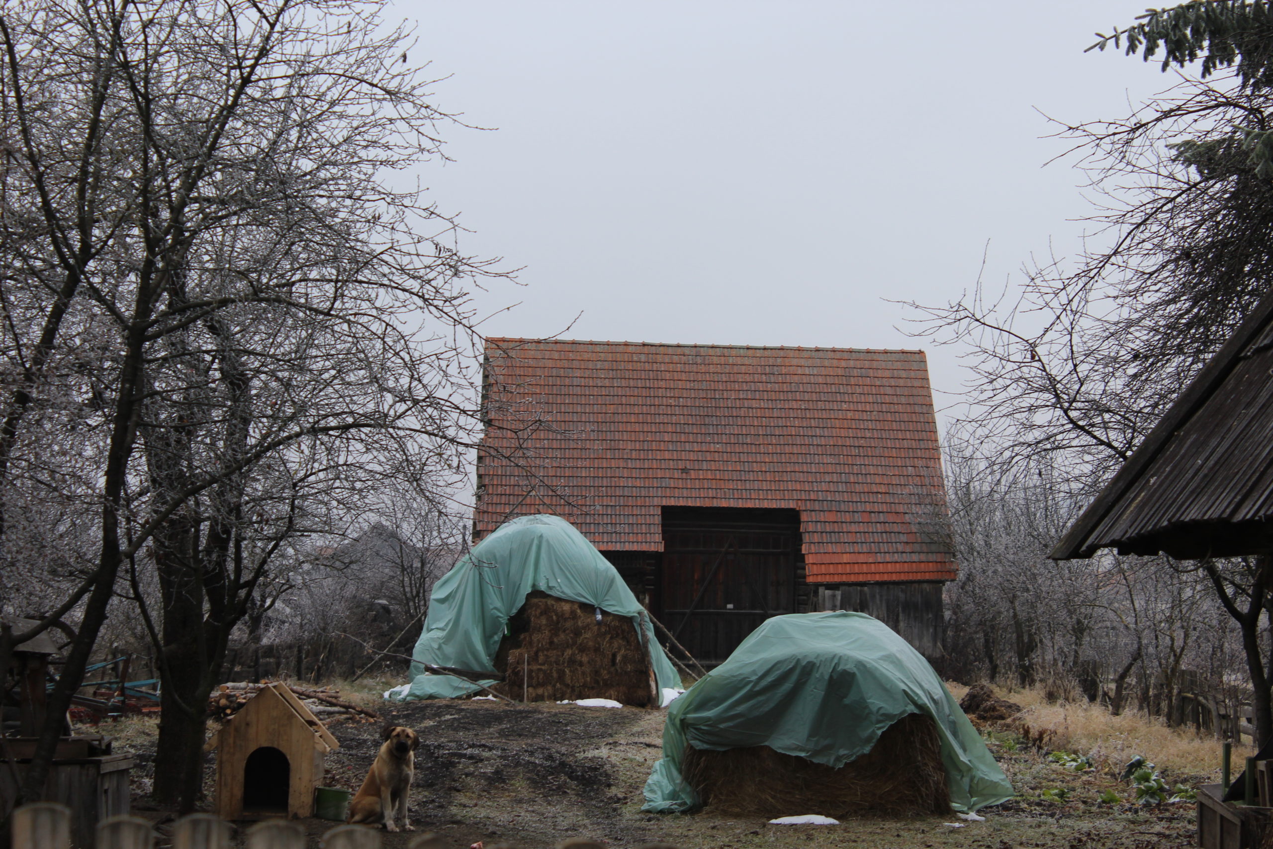
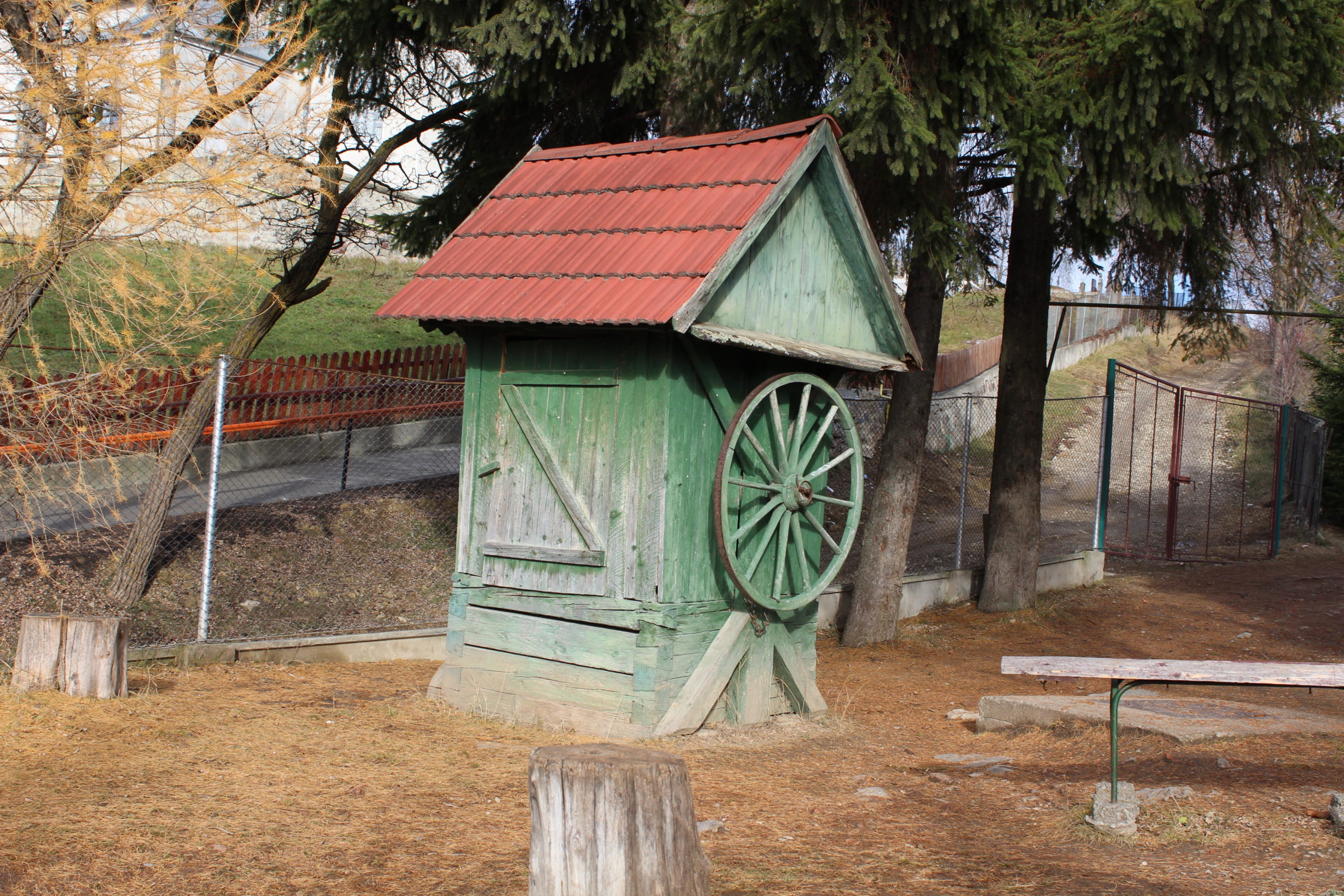
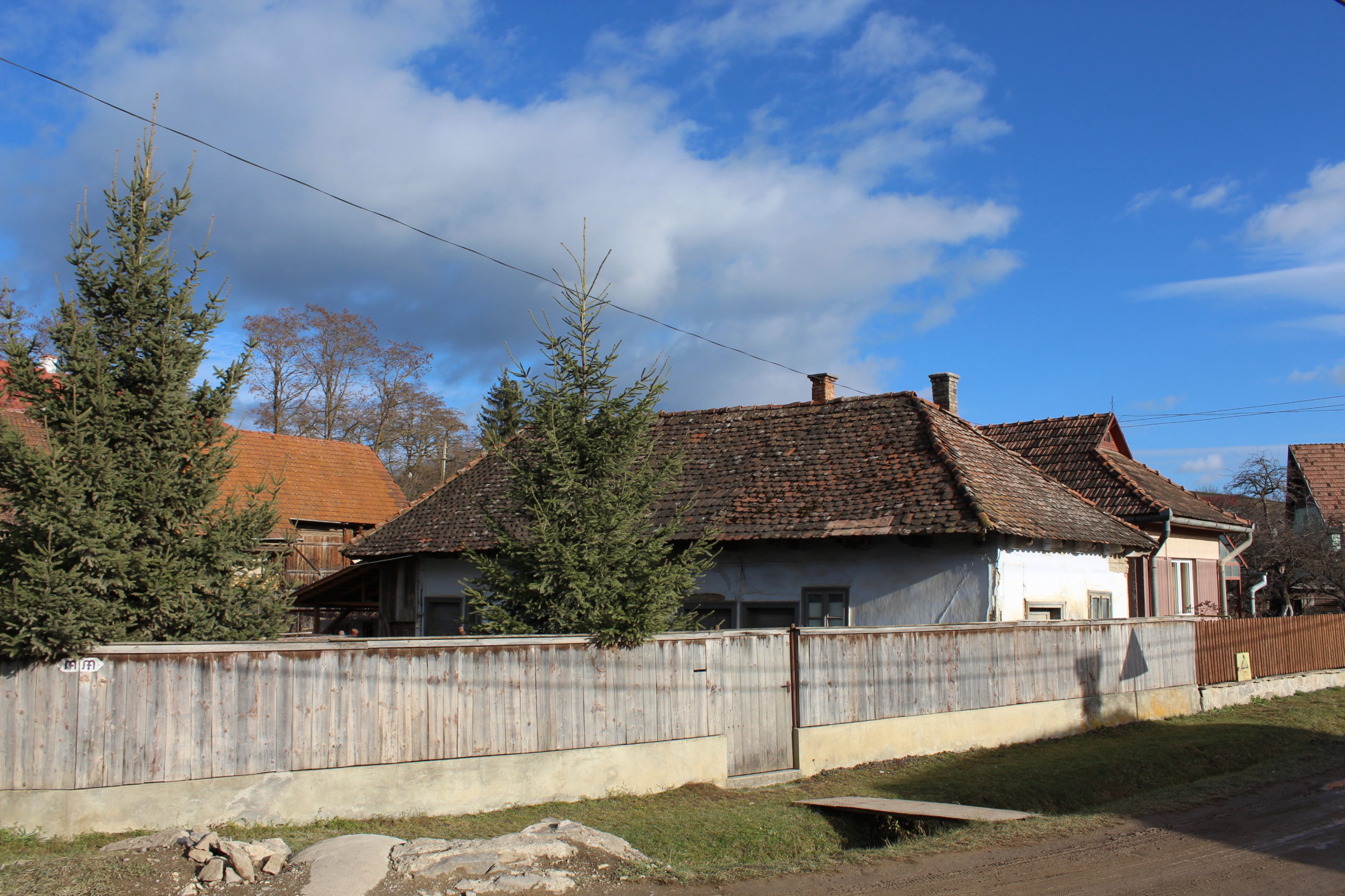
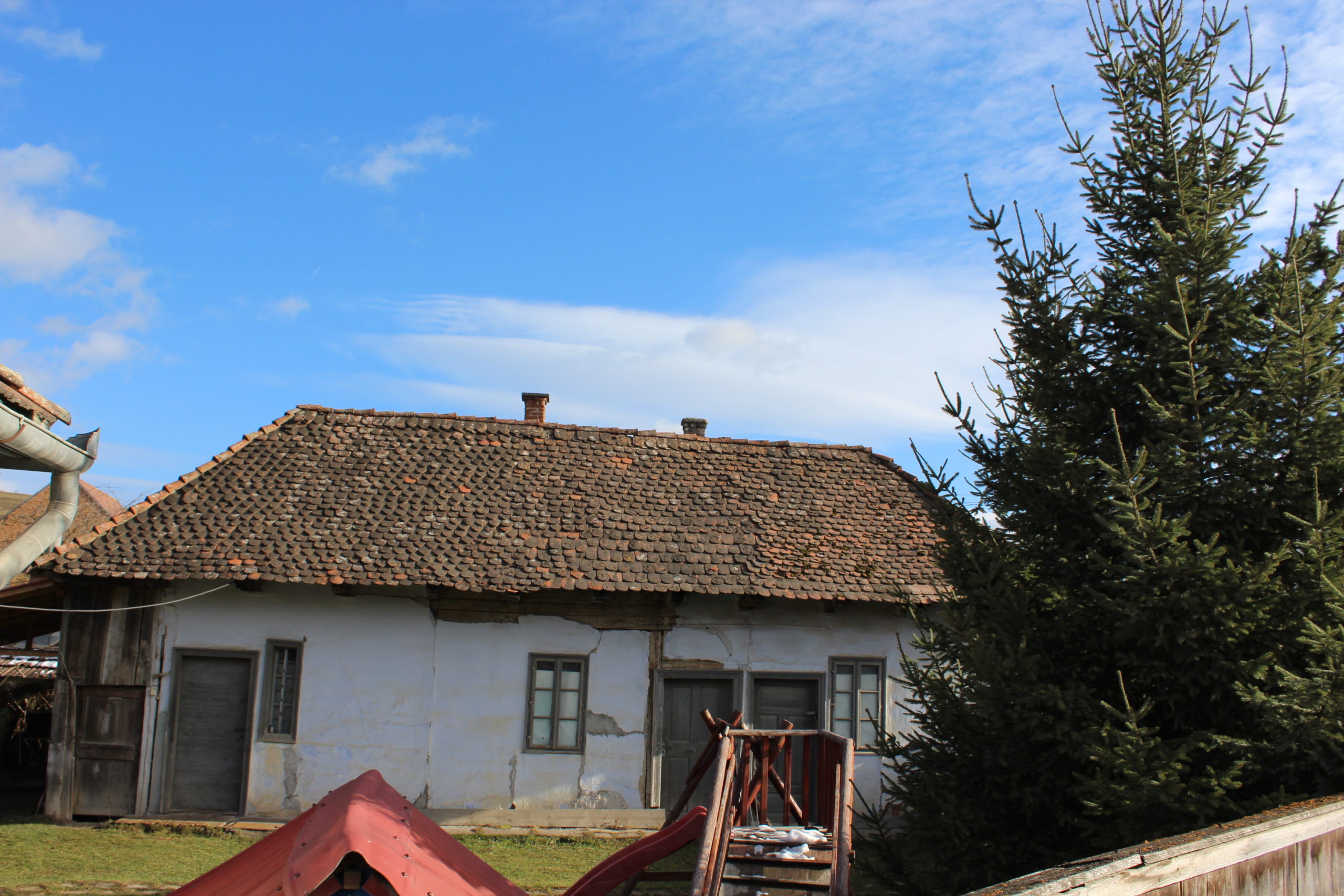
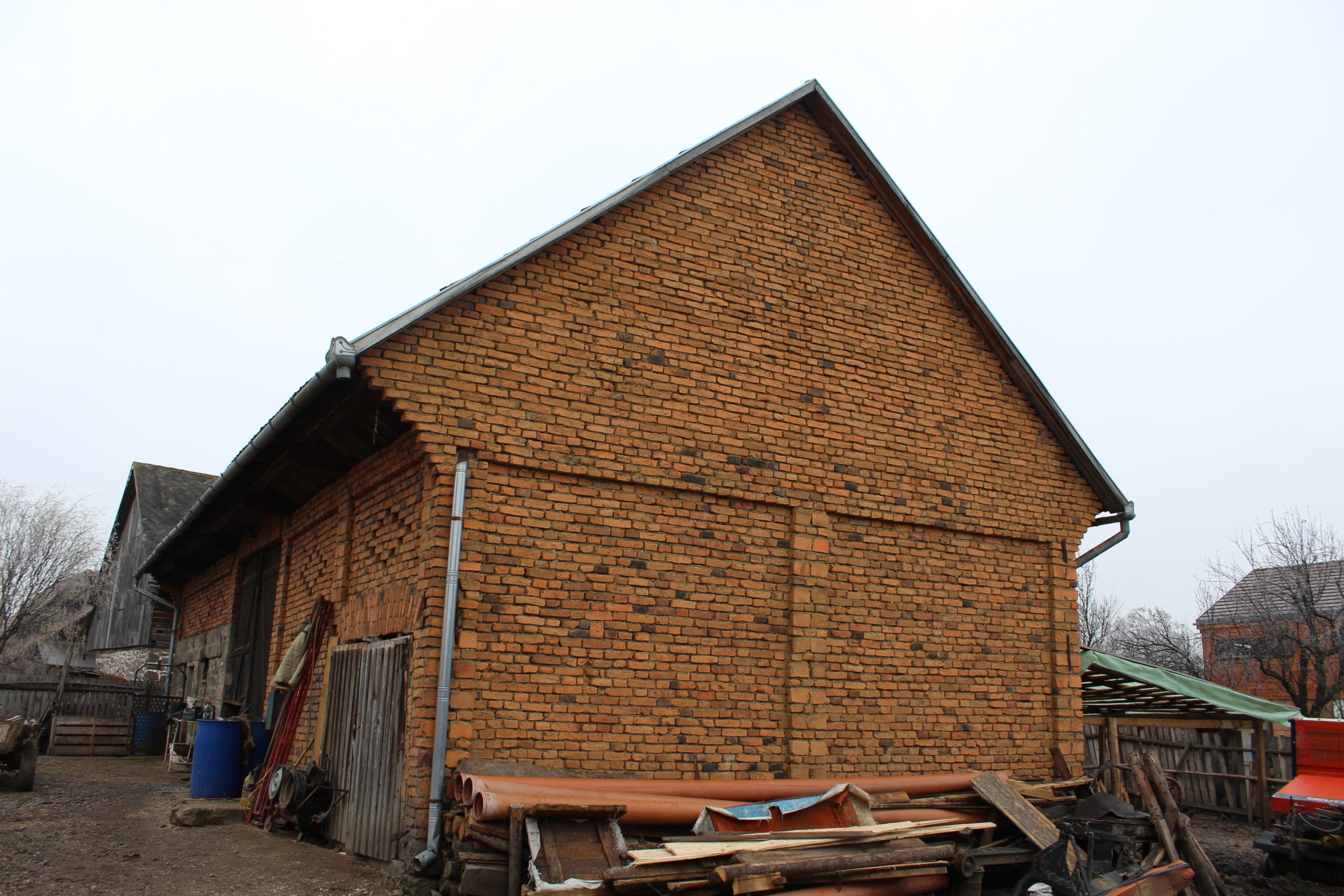
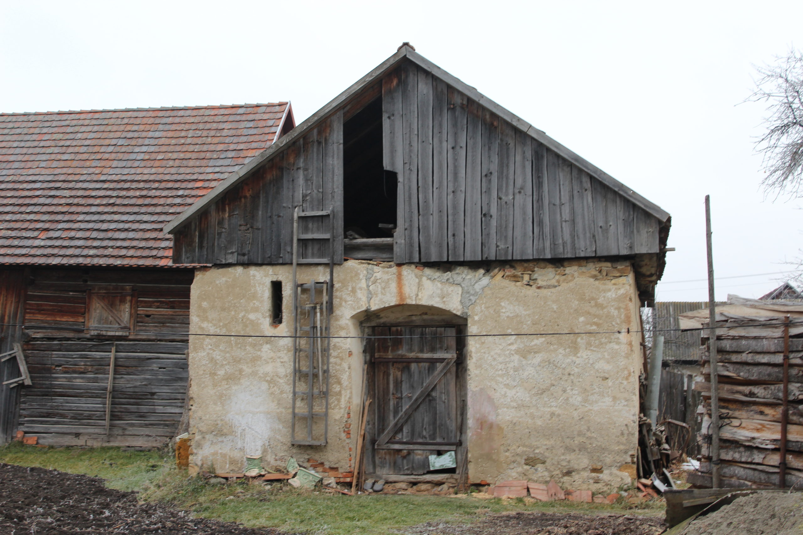
Aşezarea caselor pe parcelă este pe front stradal. Șura are o poziţie transversală, separând curtea de grădină. Alte clădiri gospodăreşti găsim înşiruite în prelungirea casei, sau amplasate pe front mai ales în cazul bucătăriilor de vară.
Studiu privind imaginea satului (2015-16)
Piese scrise
Fișe de cartare
- Fișa de cartare
- Biserică
- Casa de cultură
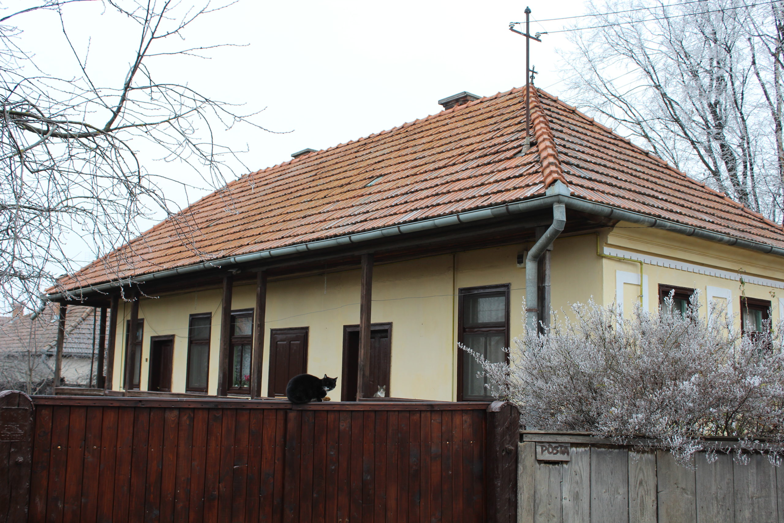
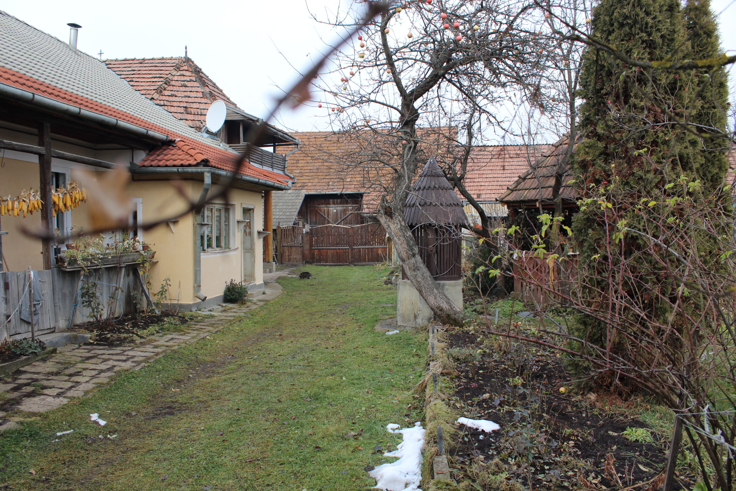
- 5. – gospodărie
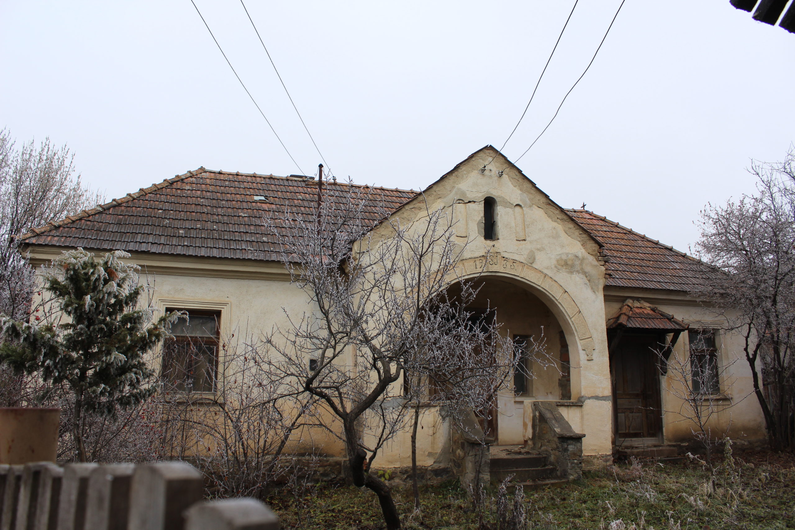
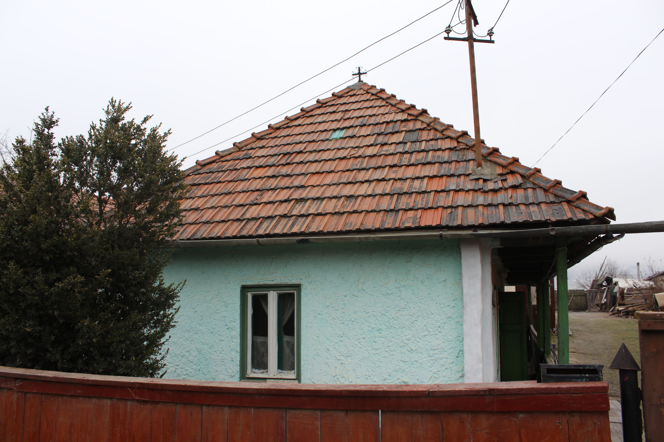
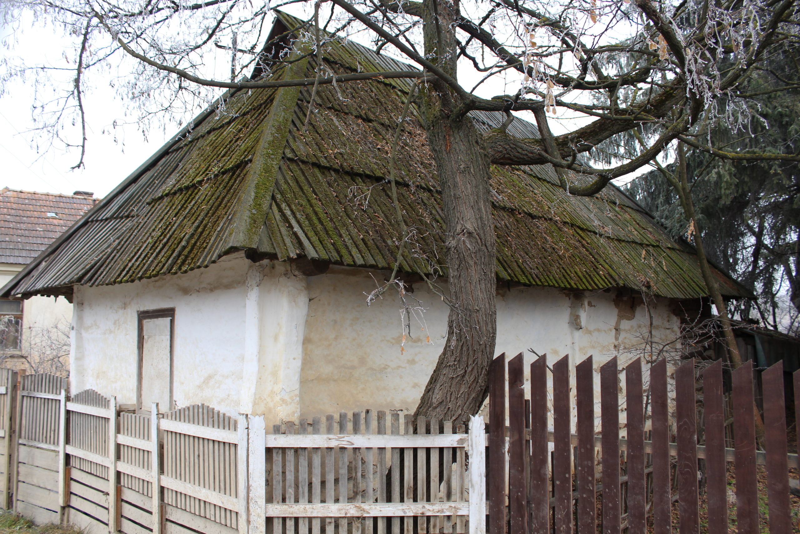
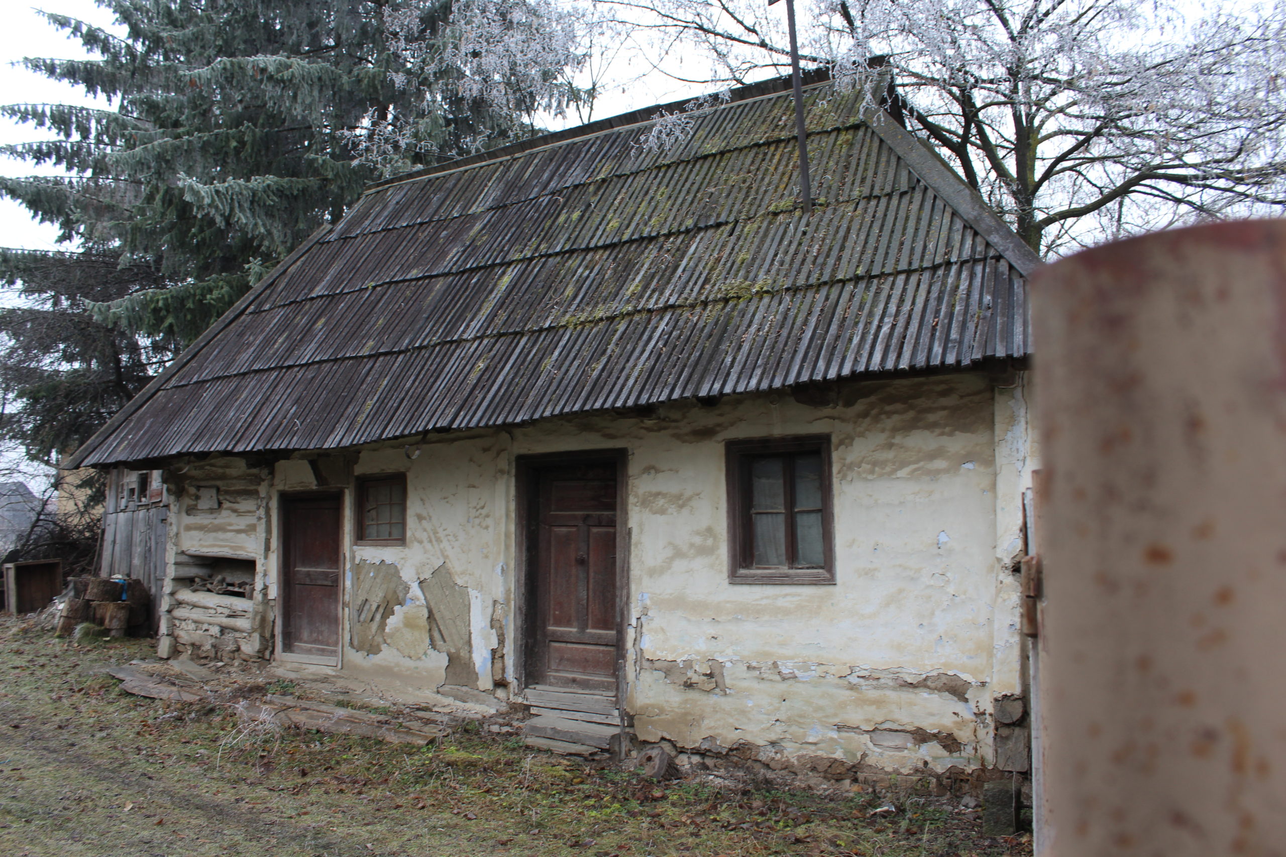
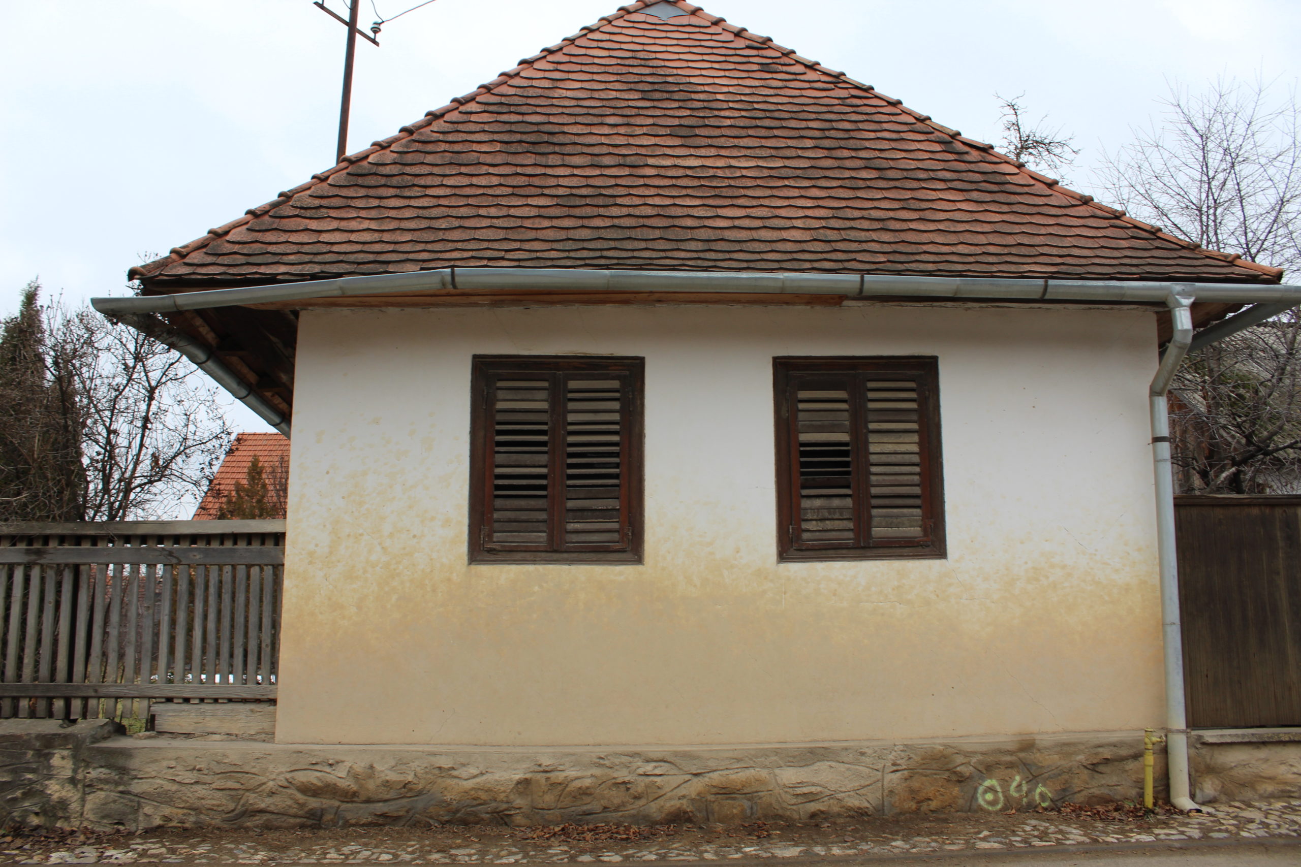
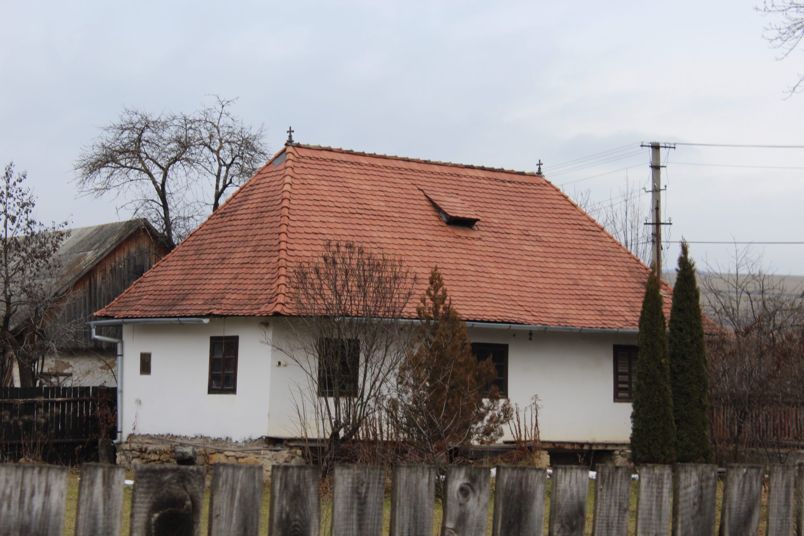
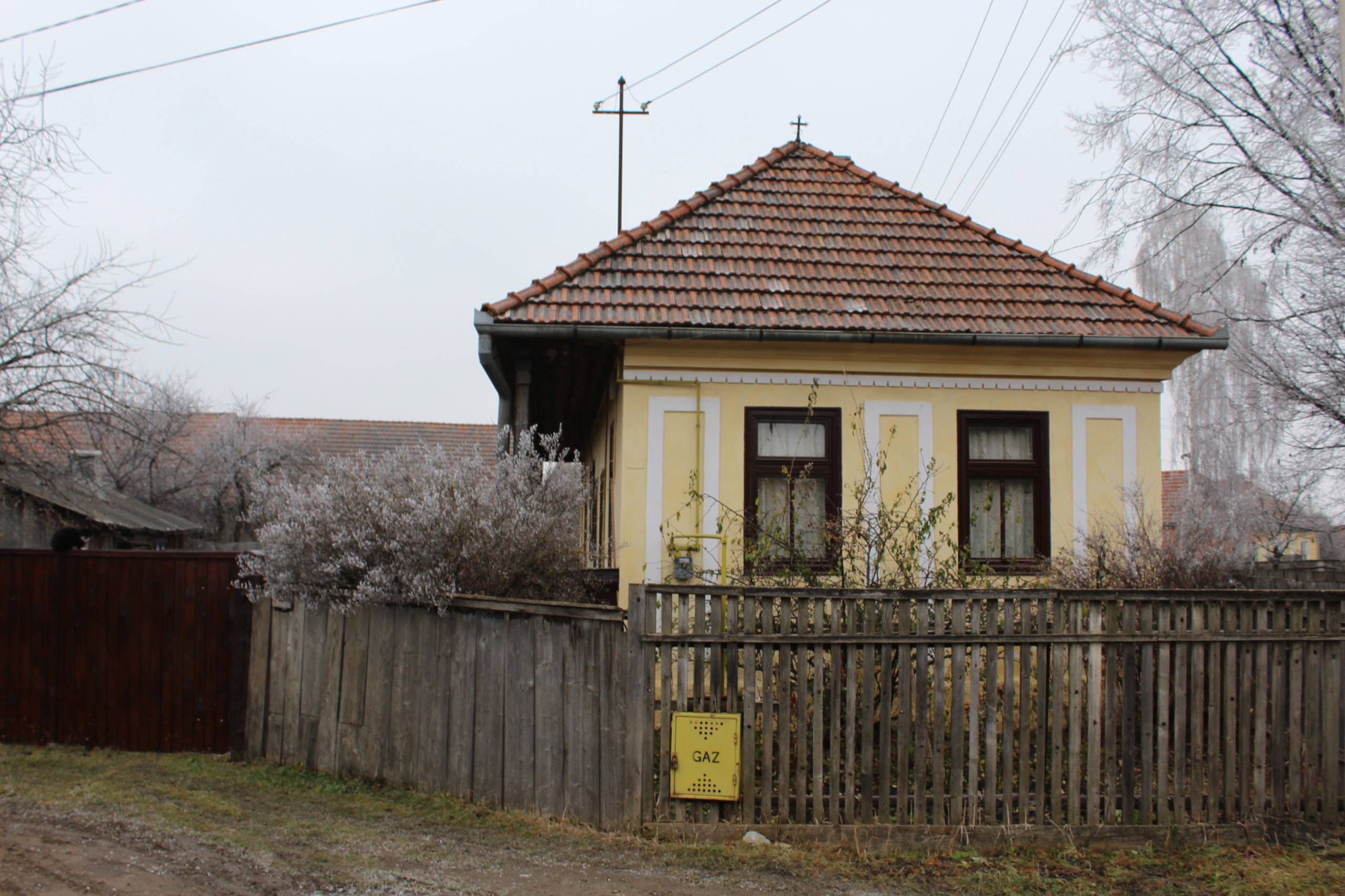
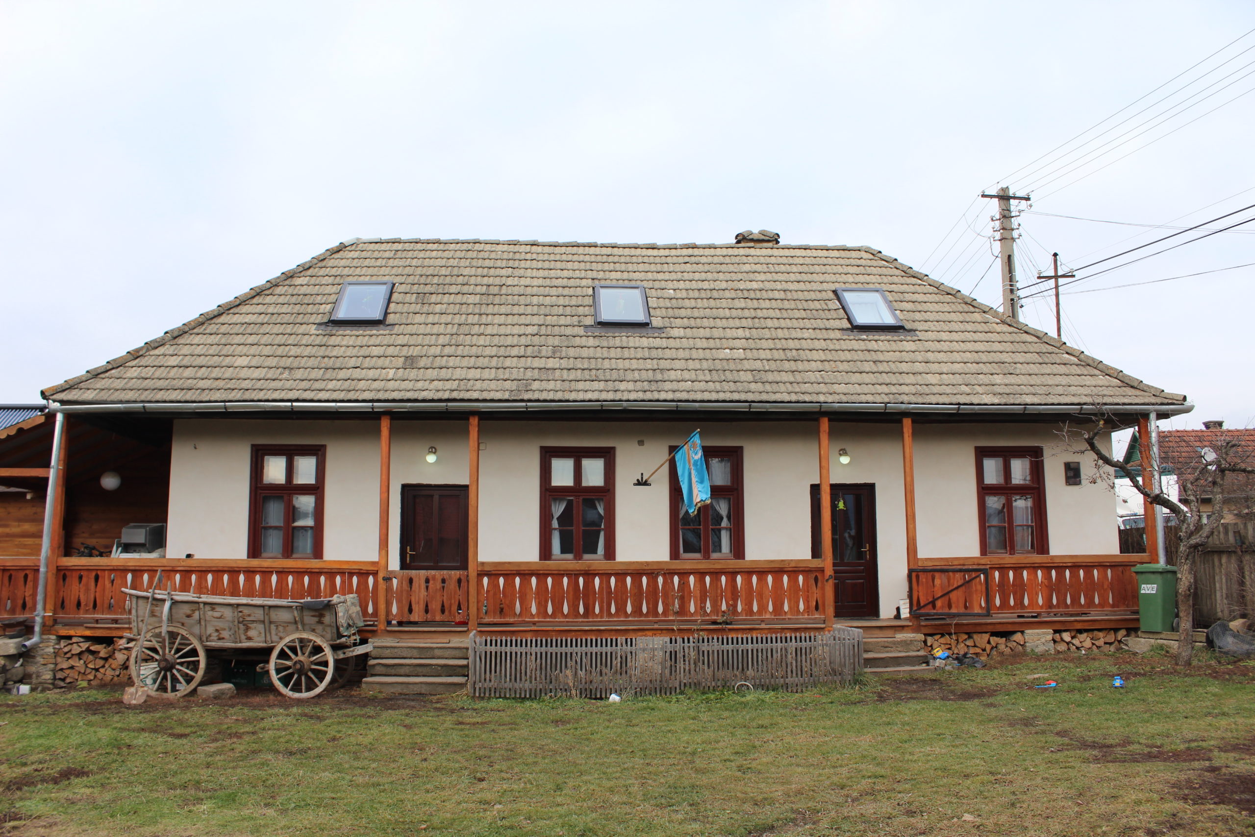
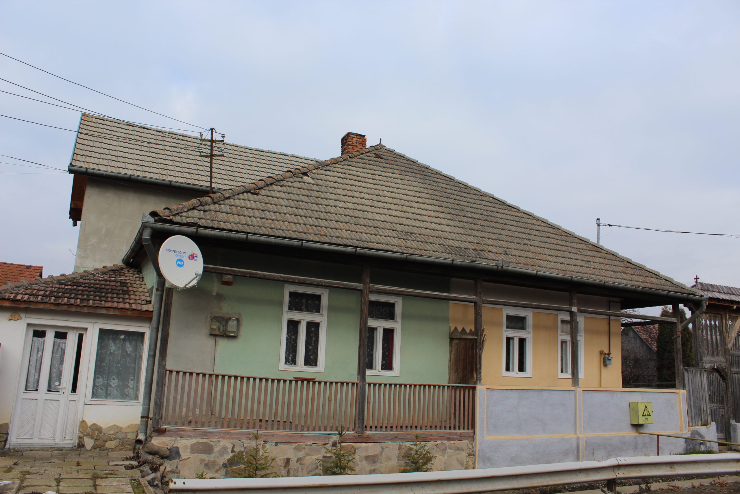
- 6. – casă de locuit
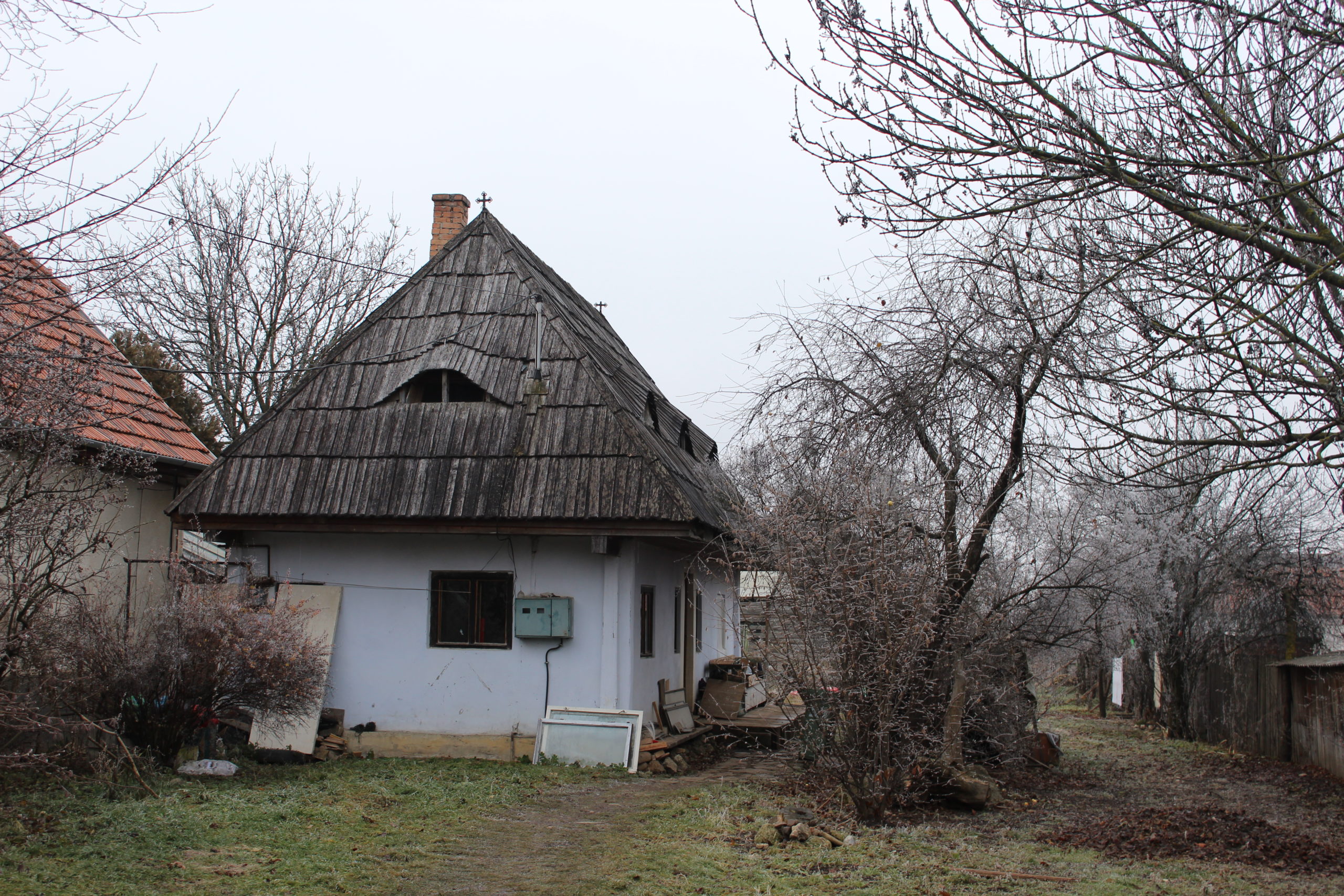
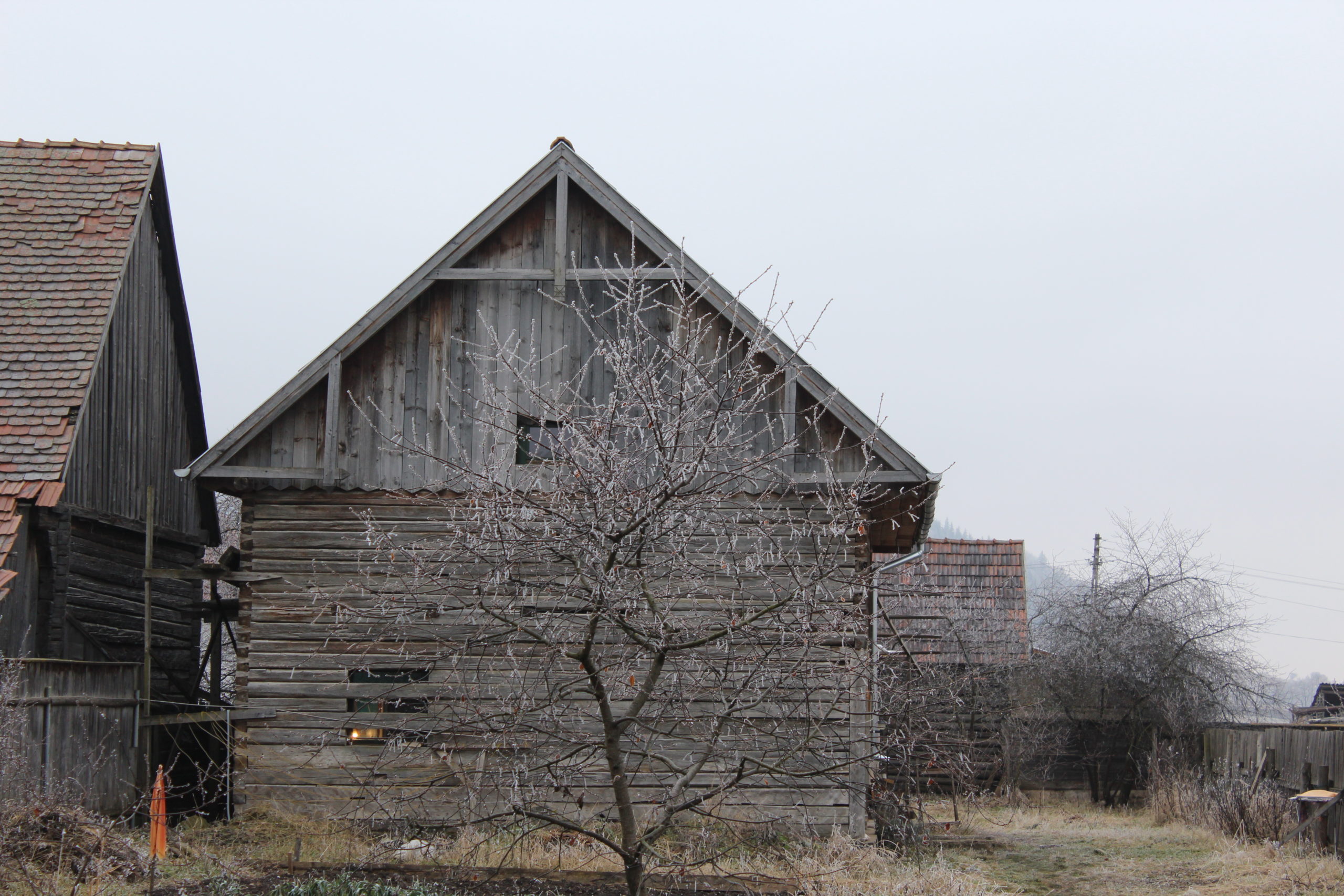
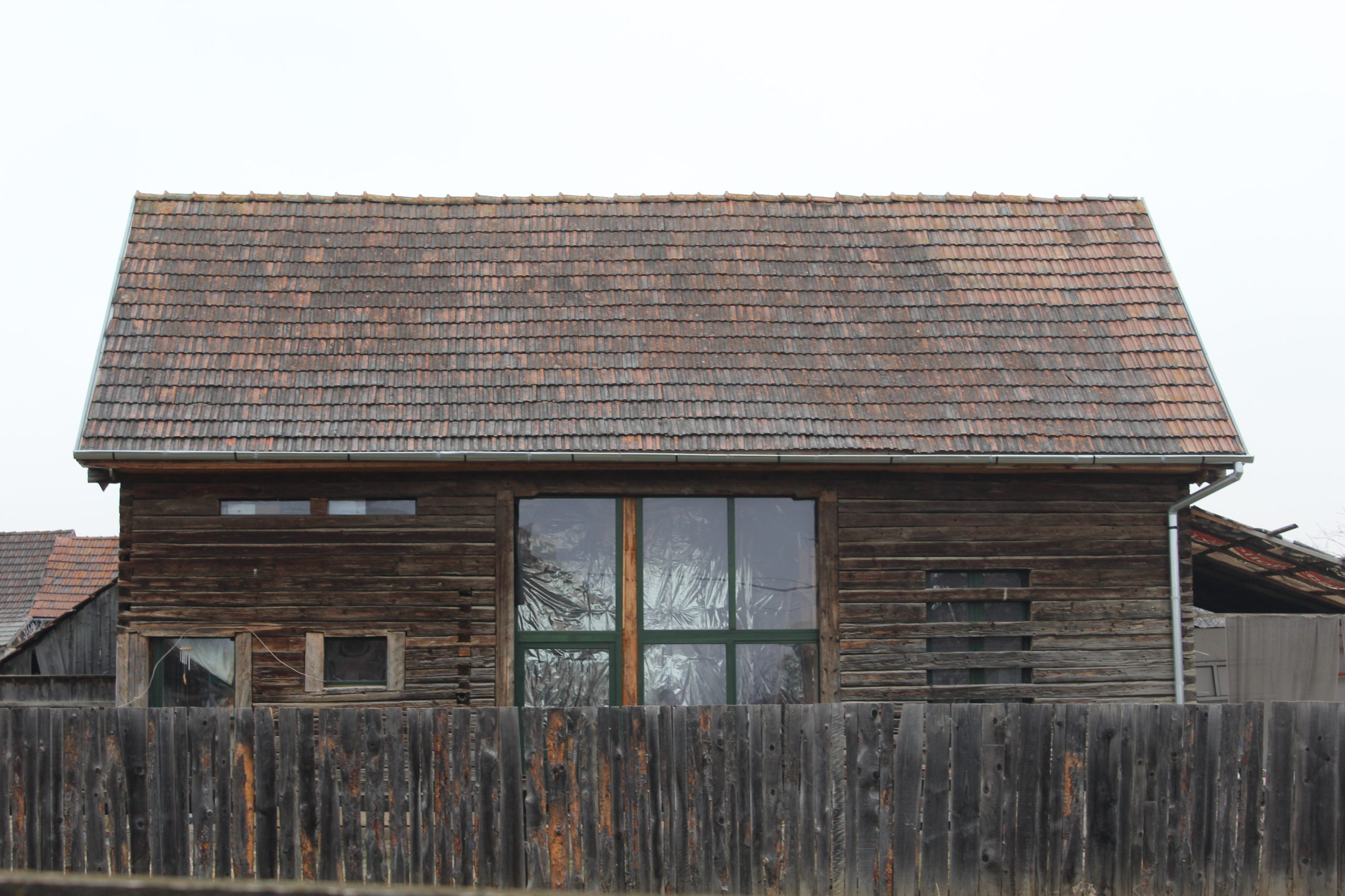
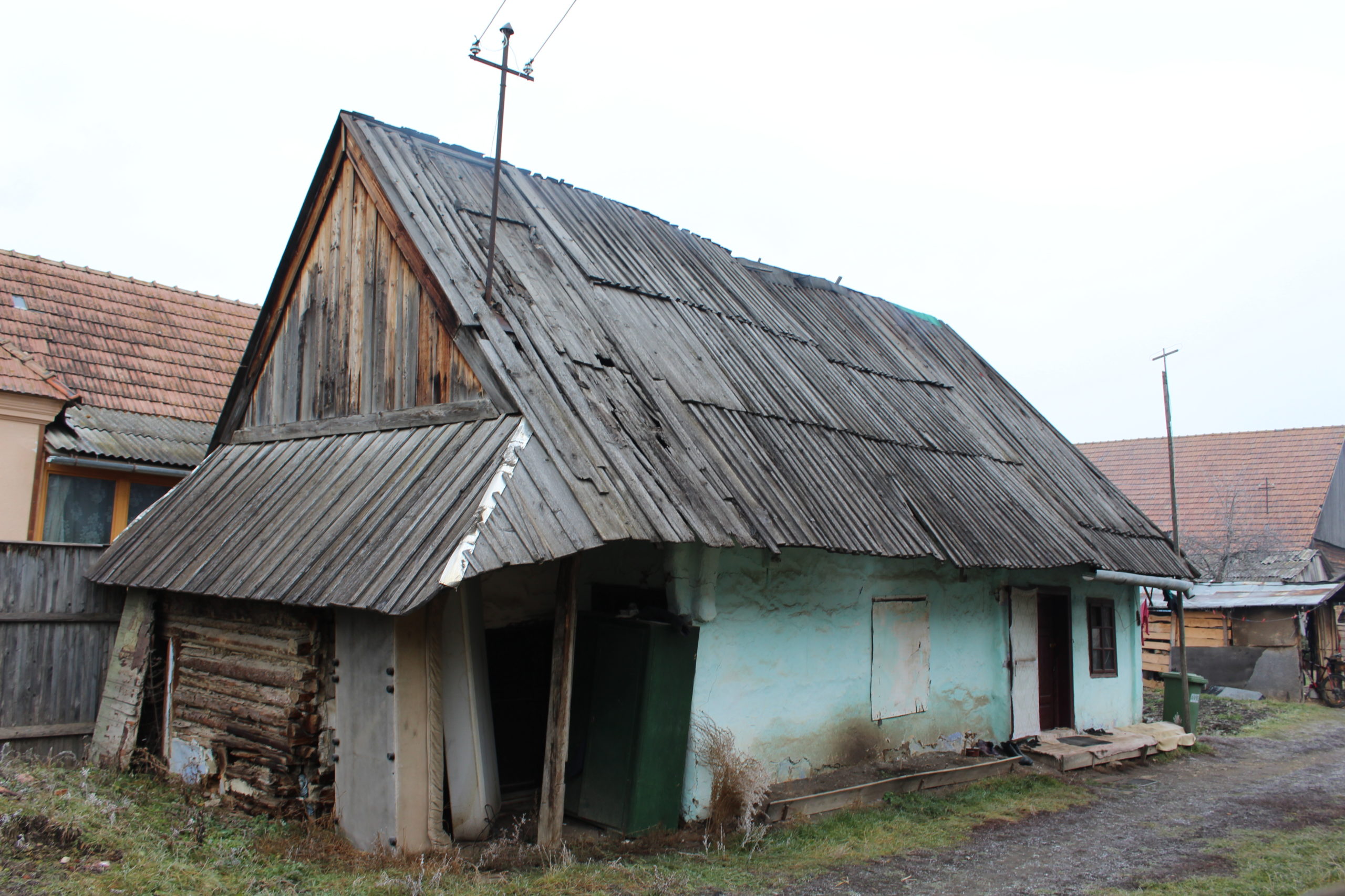
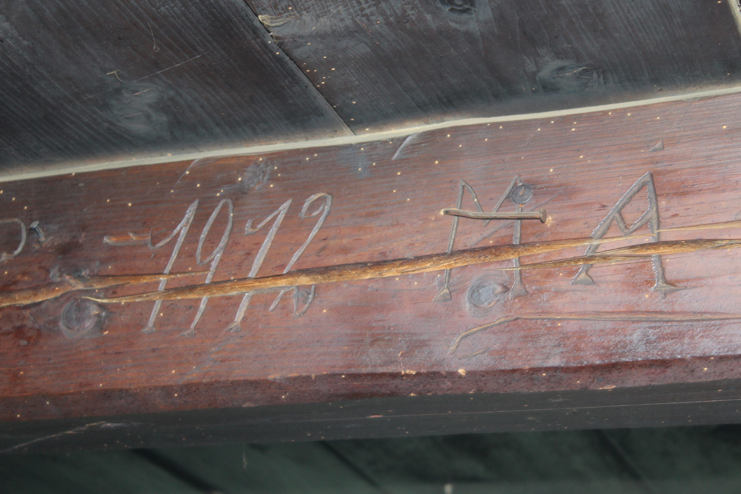
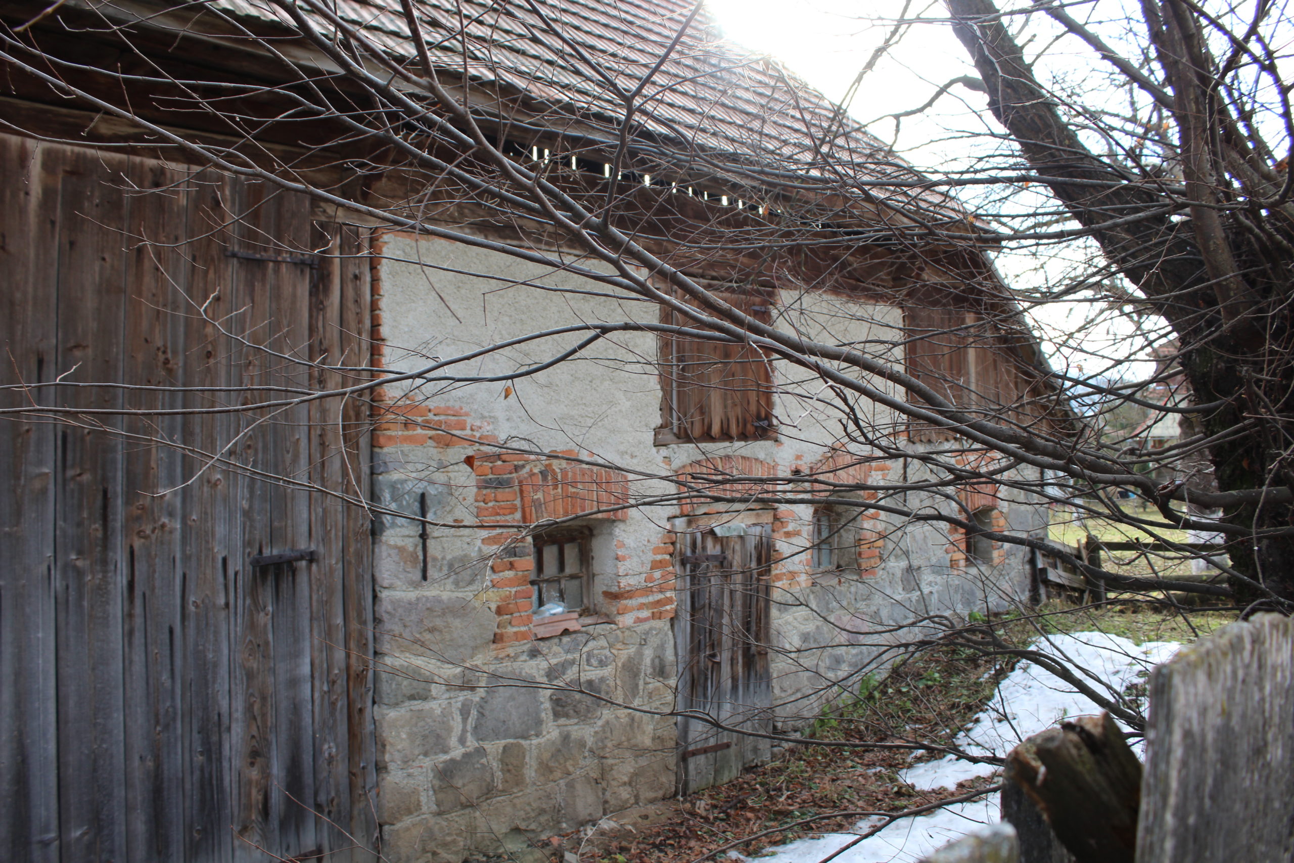
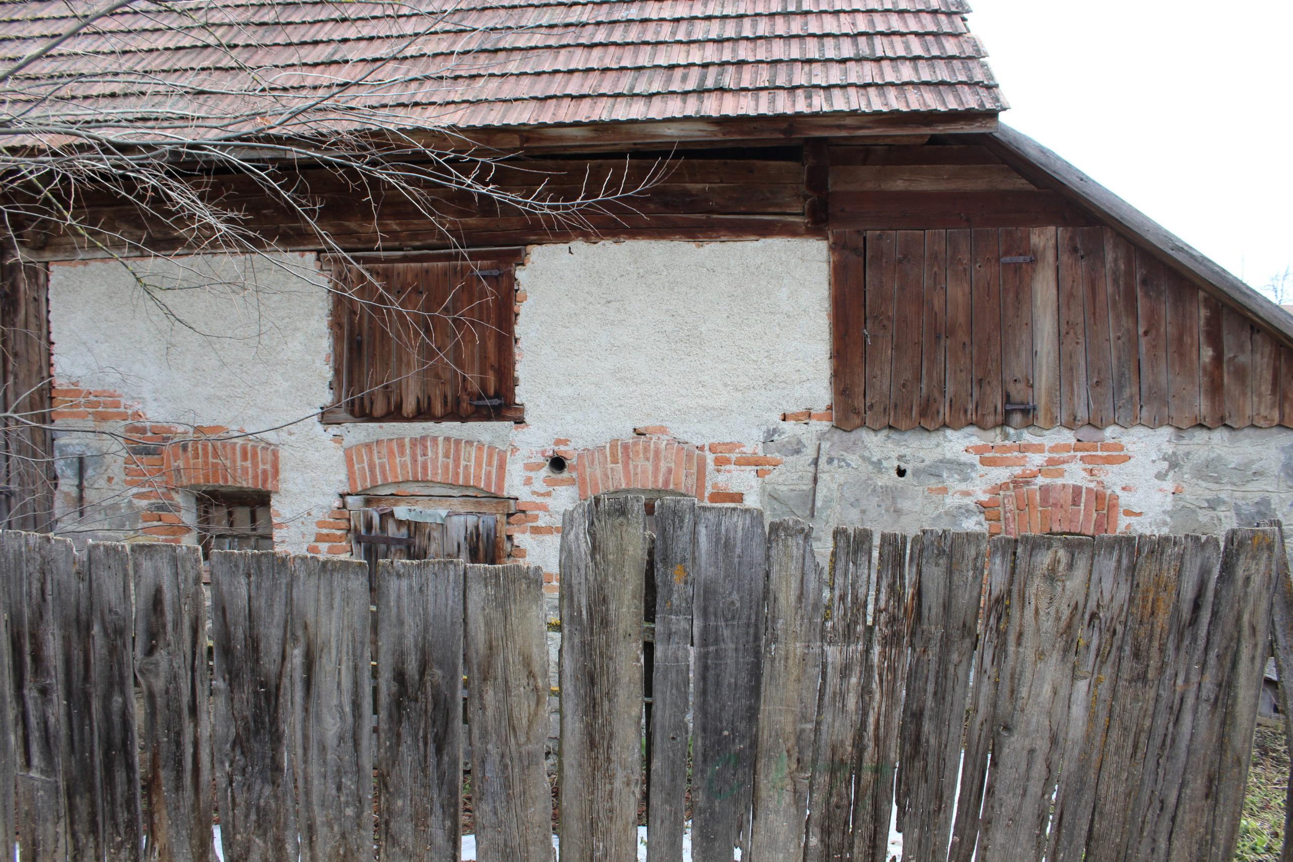
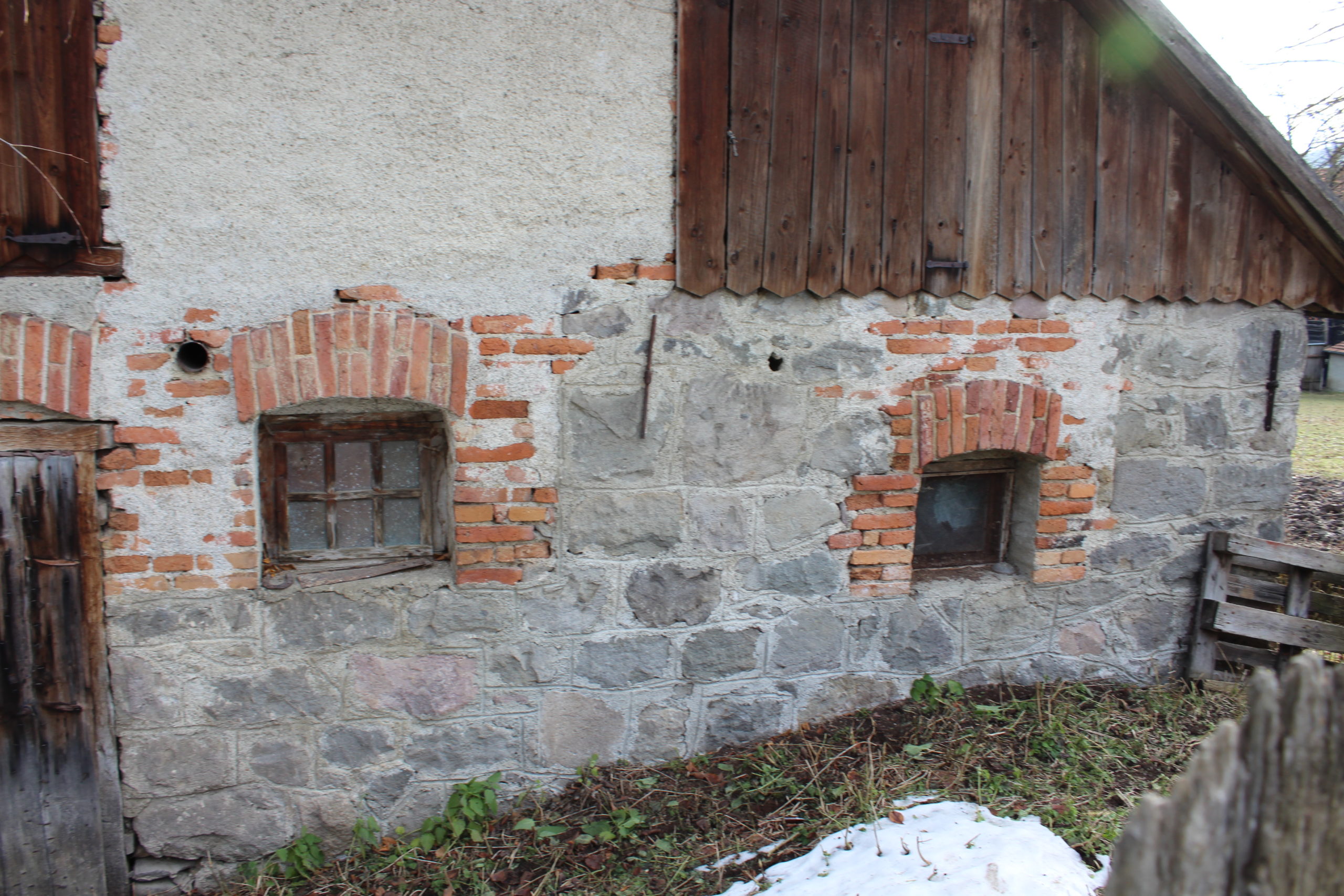
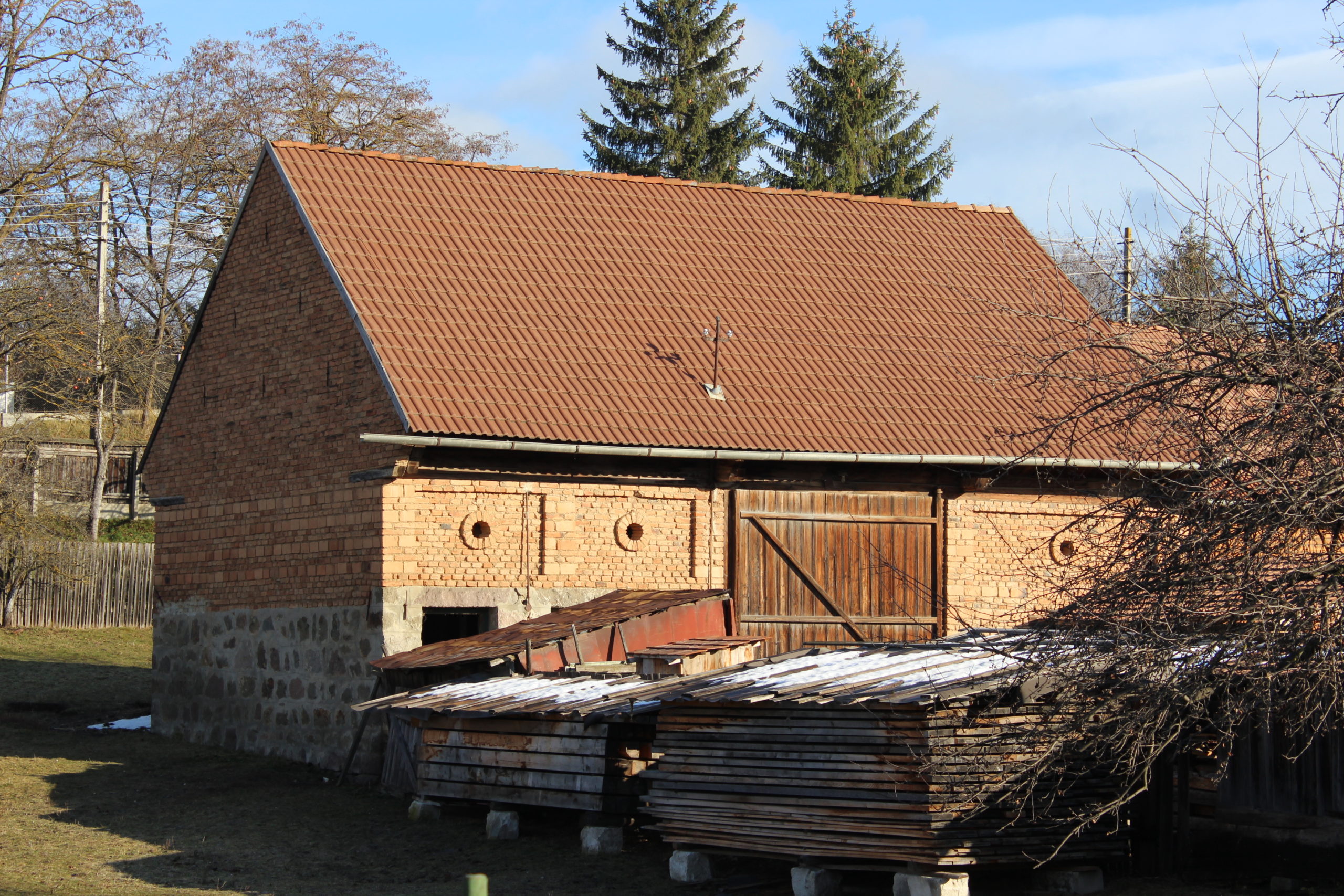
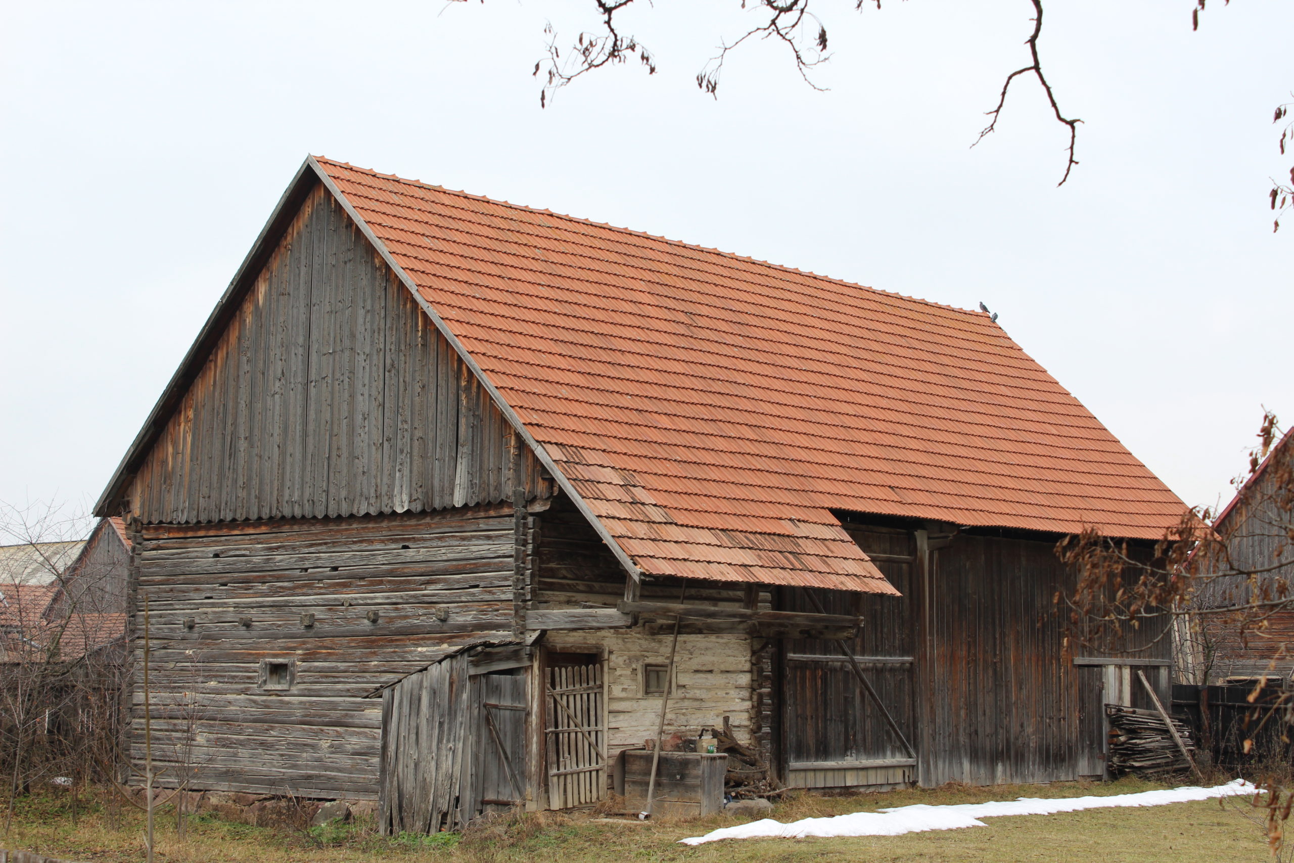
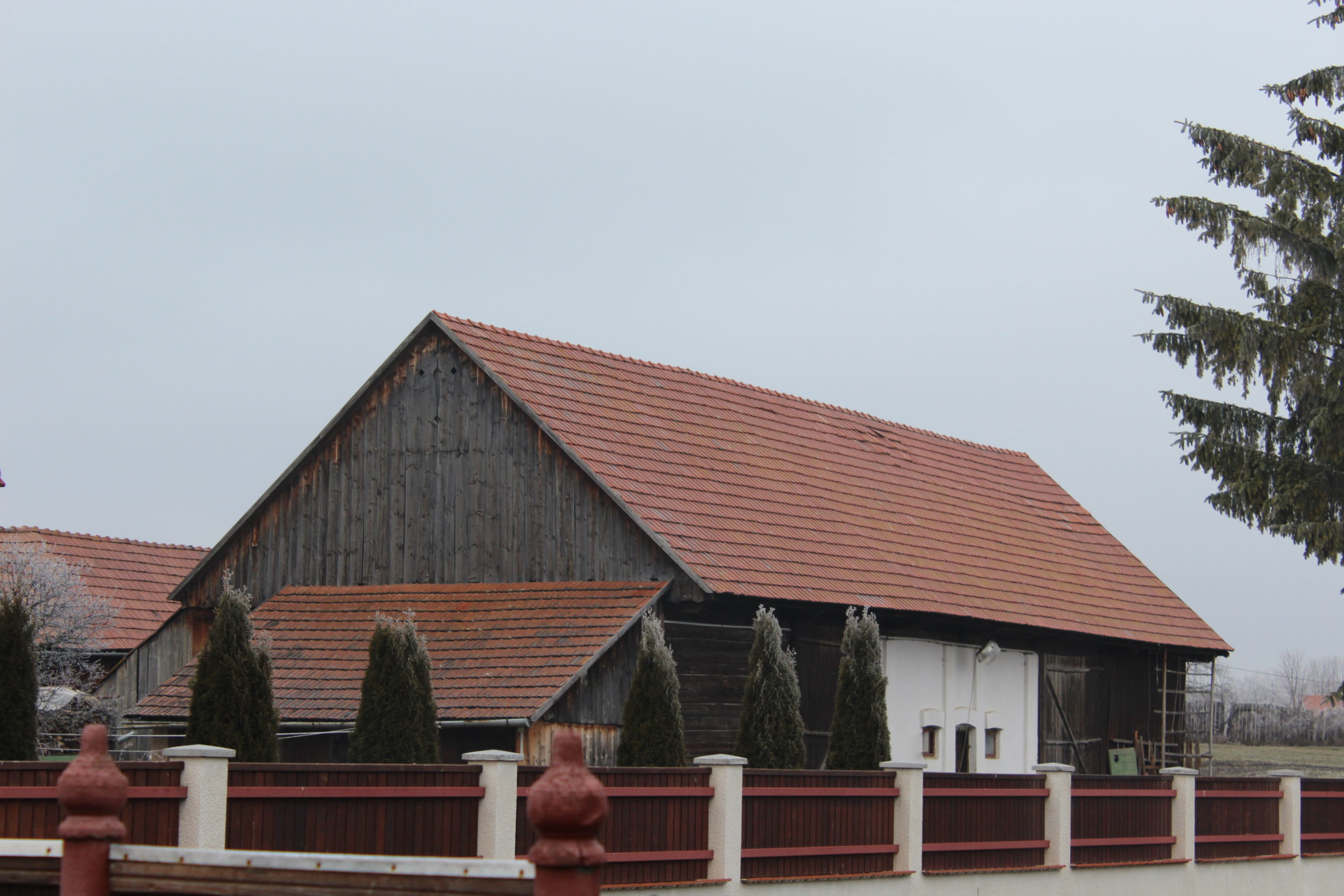
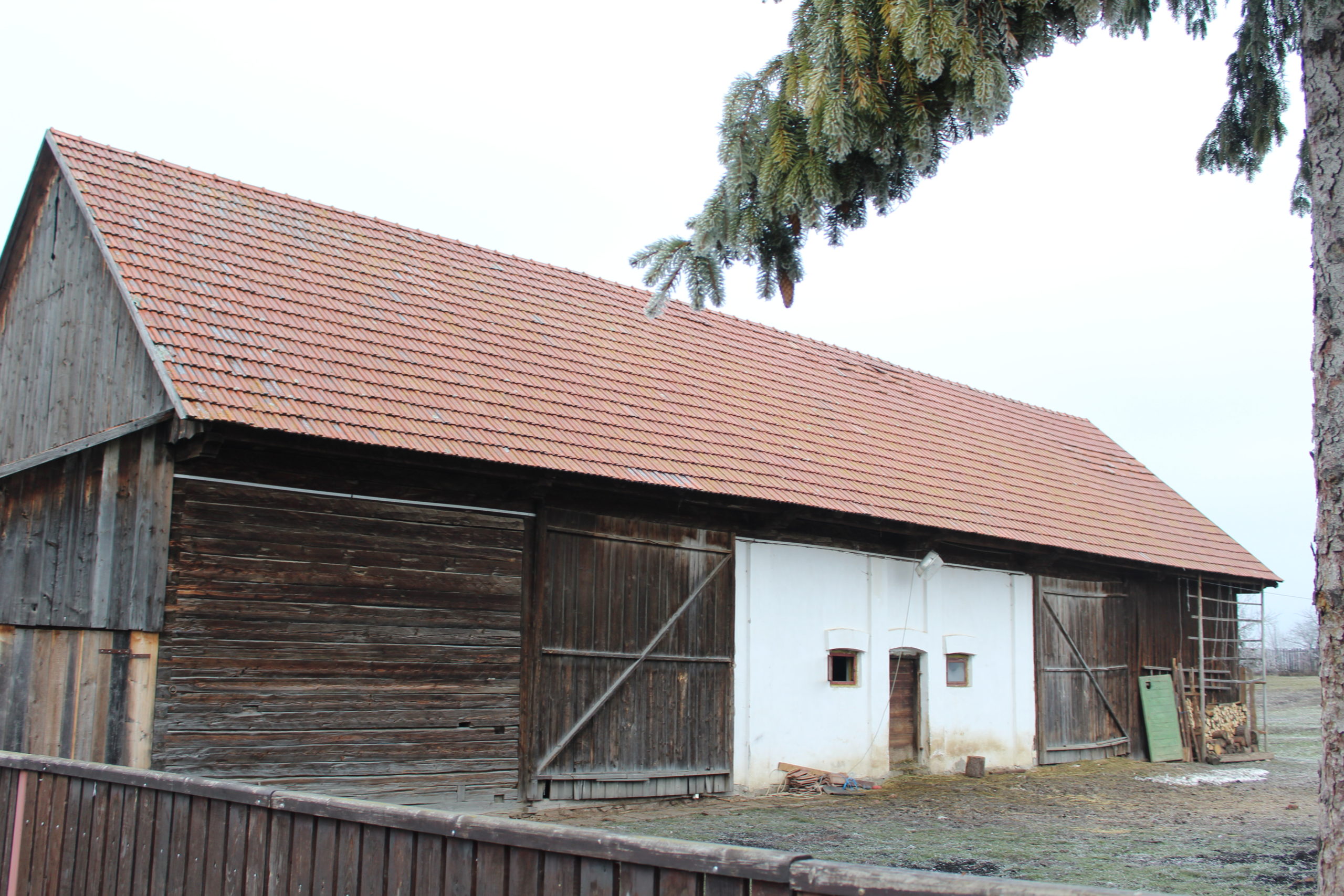
- 39. – șură
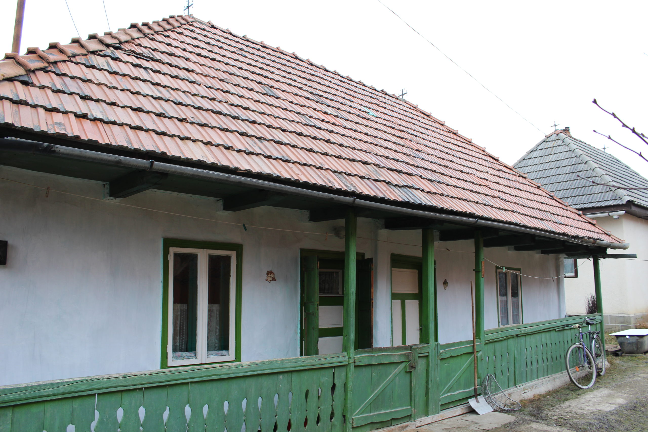
- 40. – casă de locuit
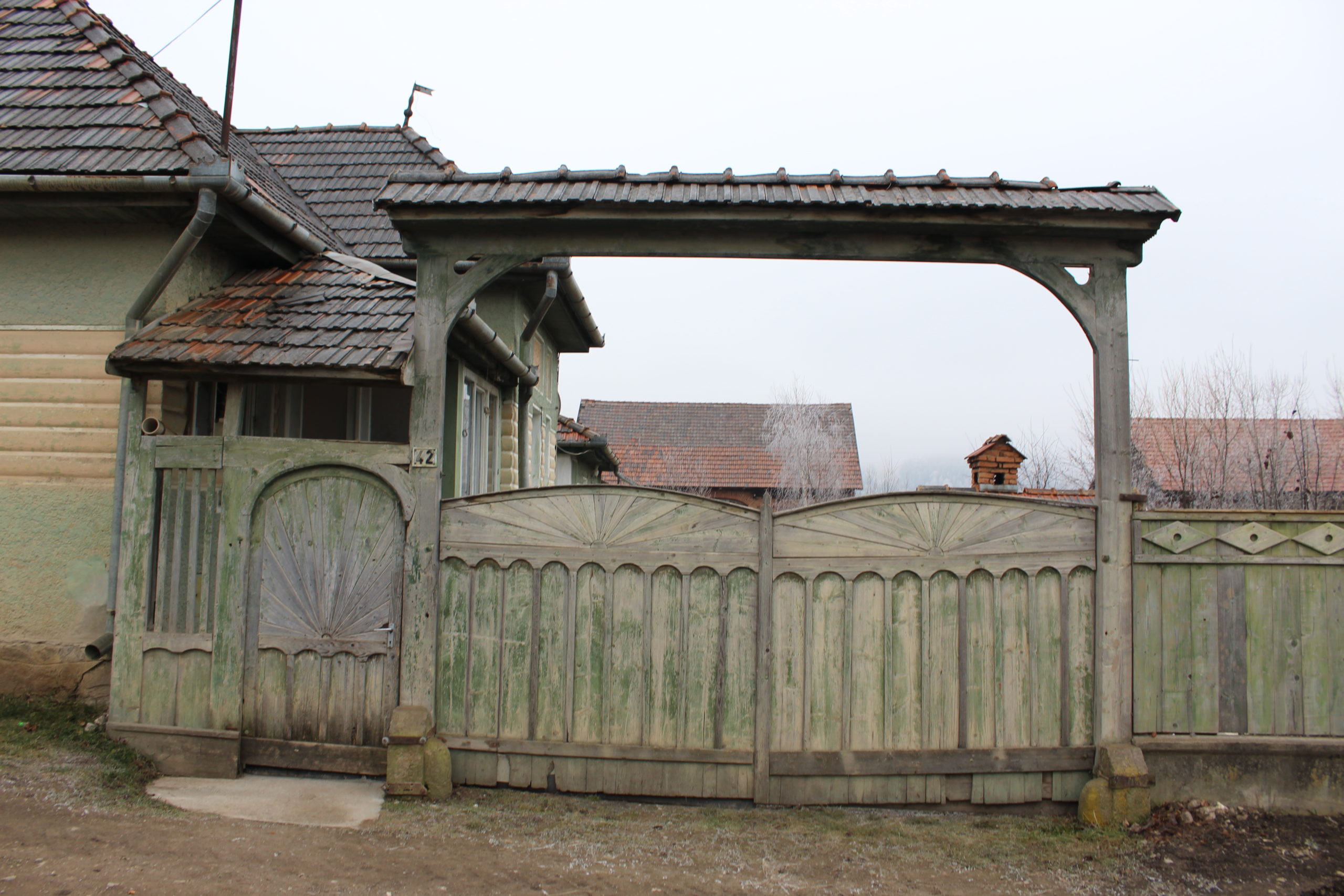
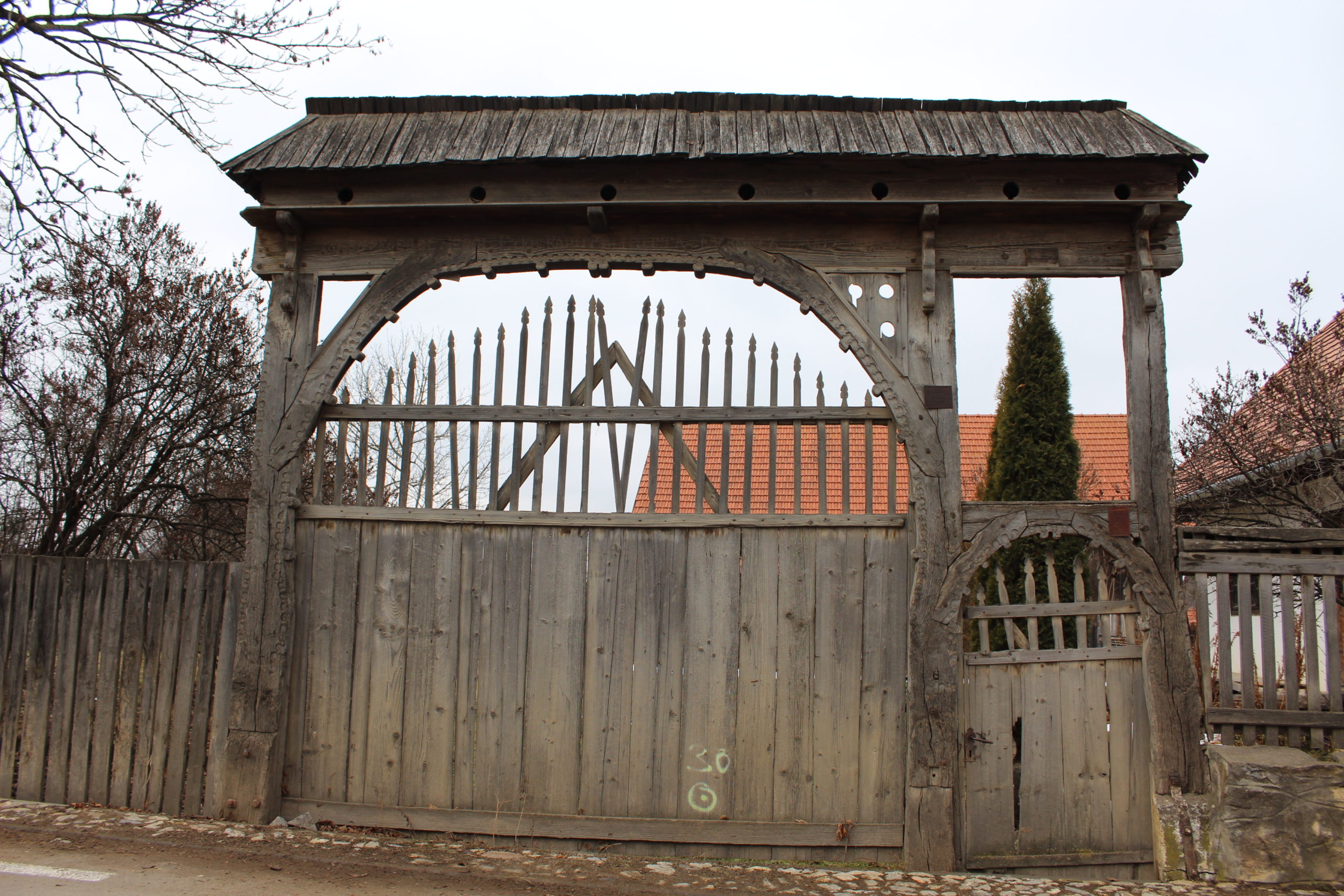
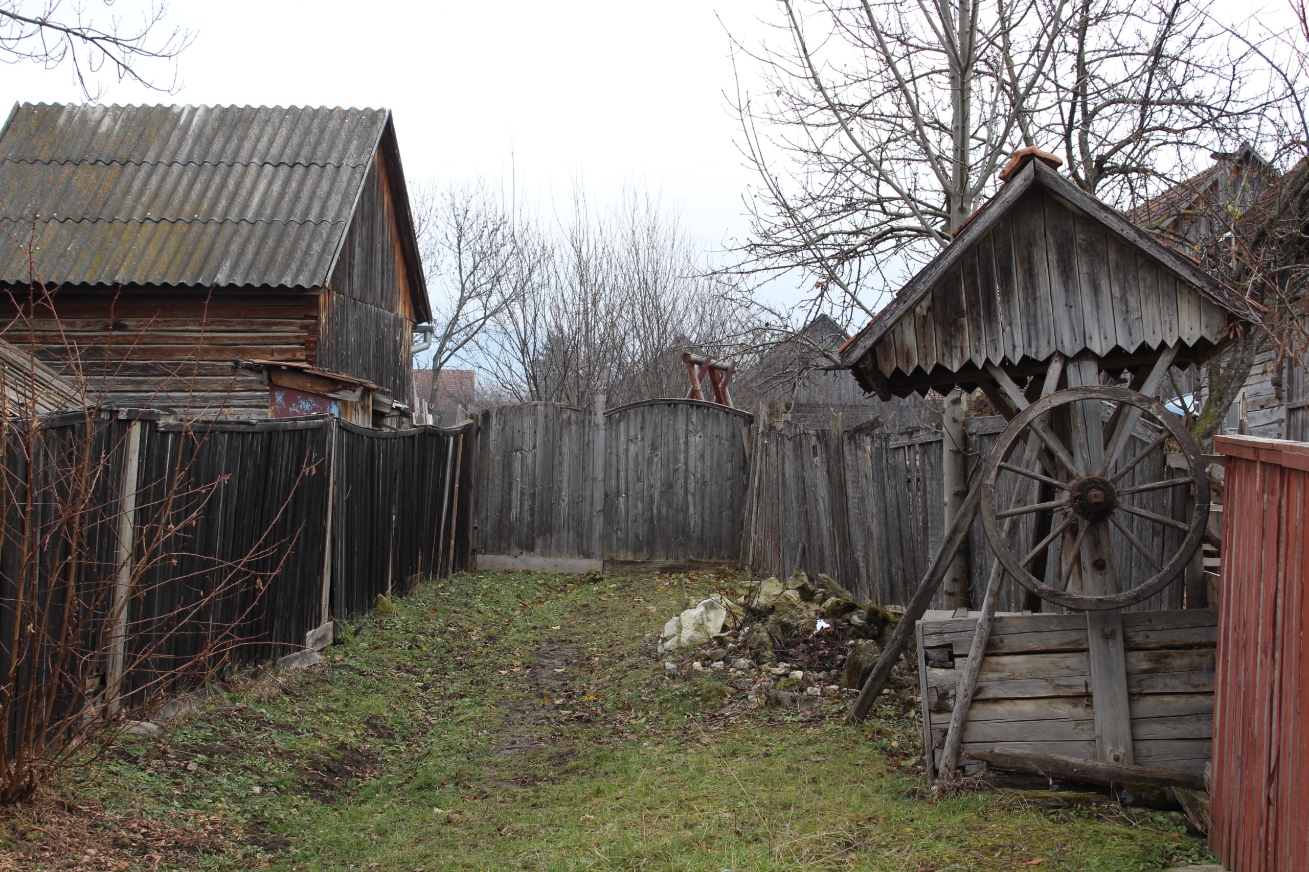
- 42. – poartă
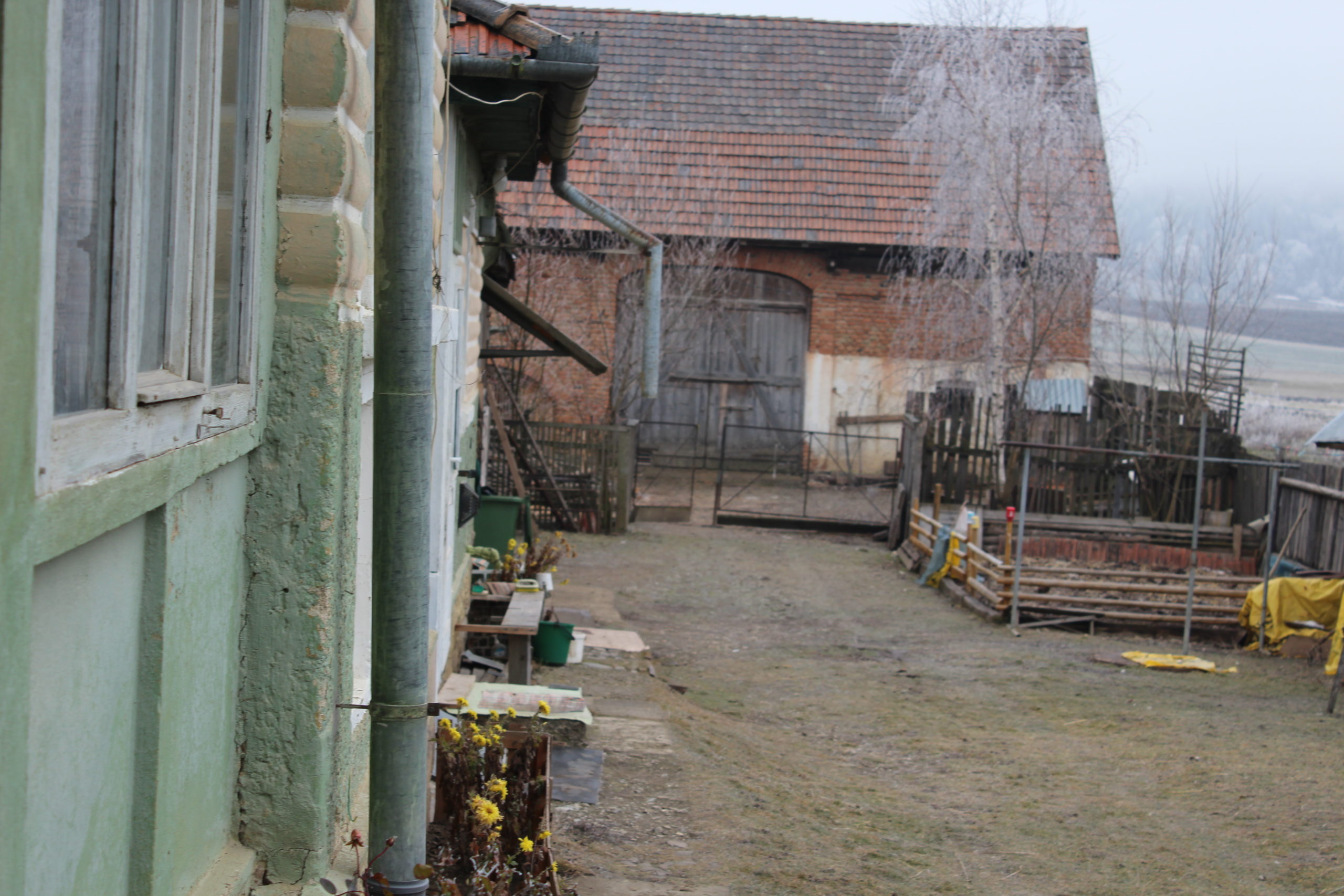
- 42. – șură
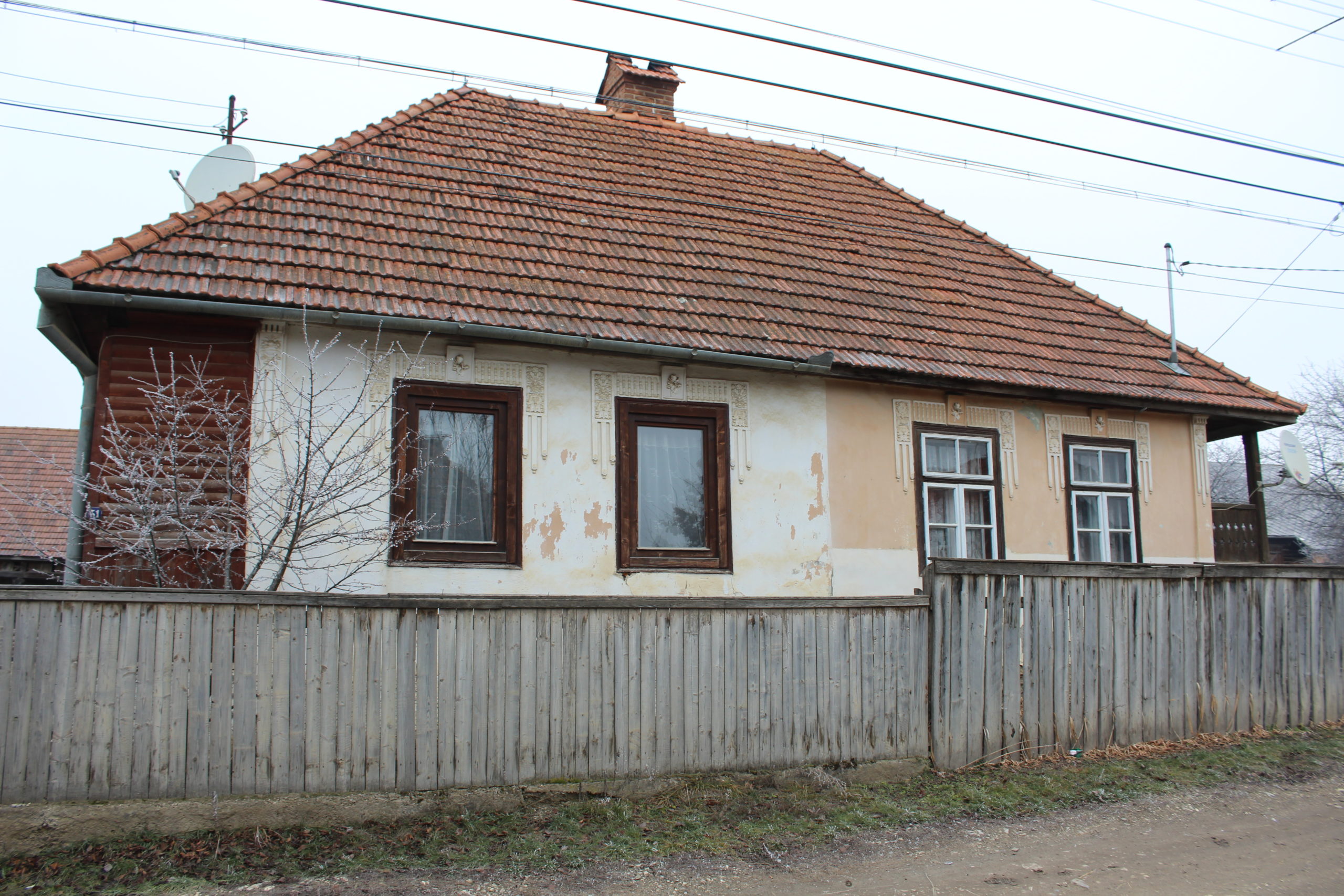
- 51. – casă de locuit
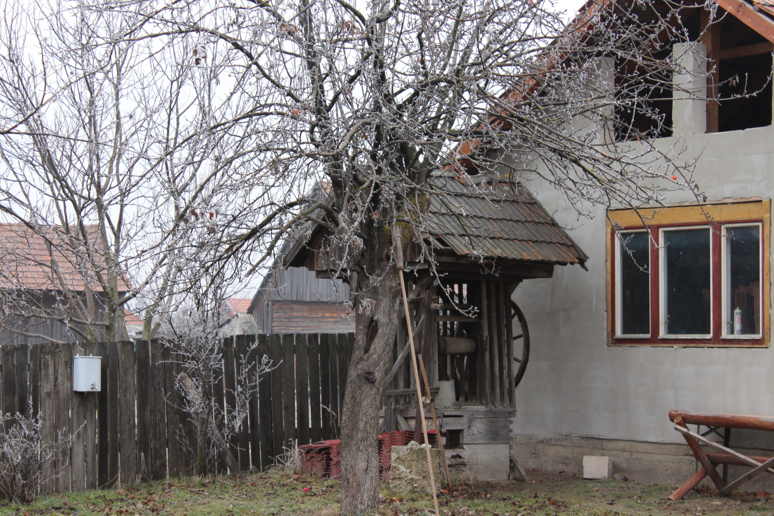
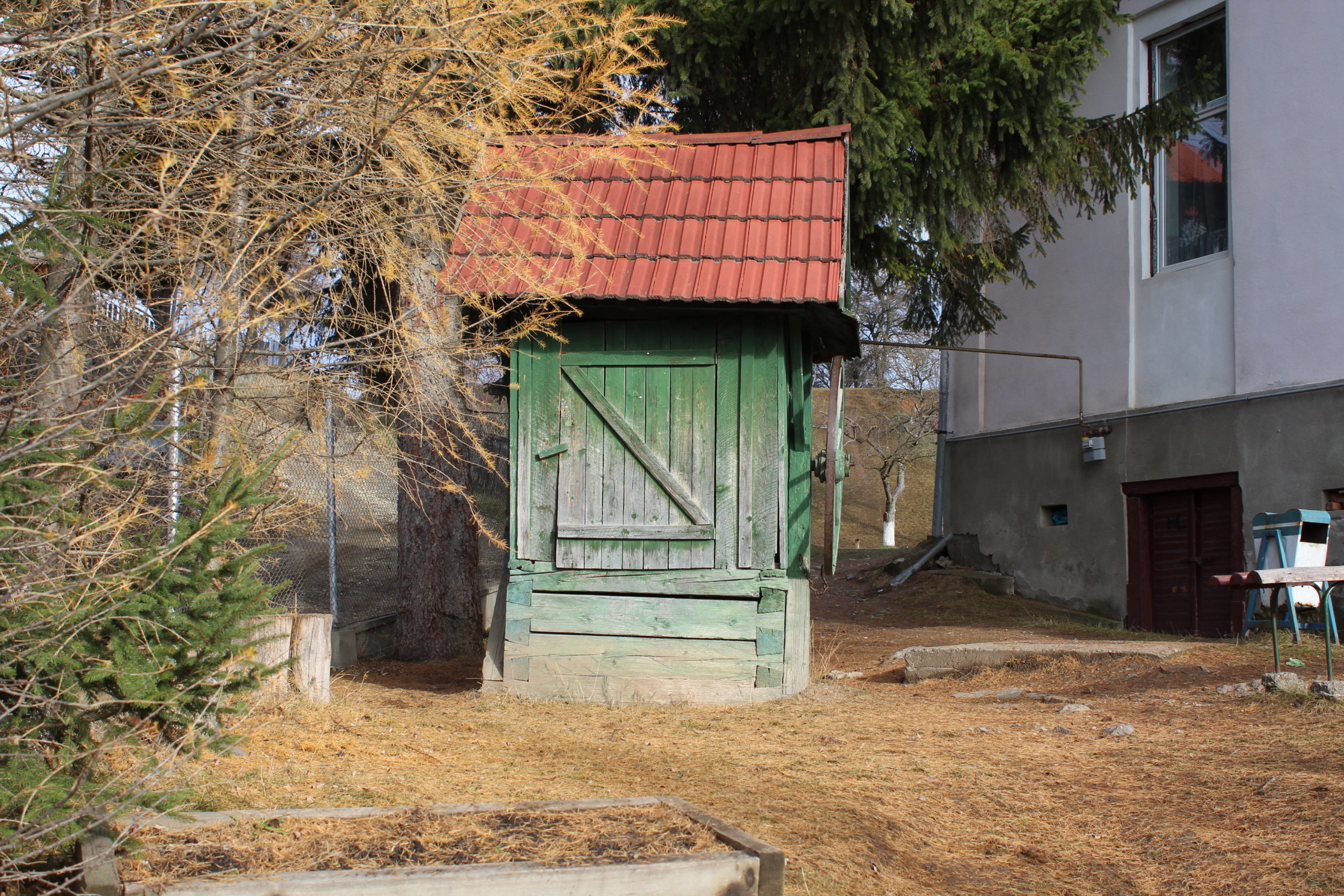
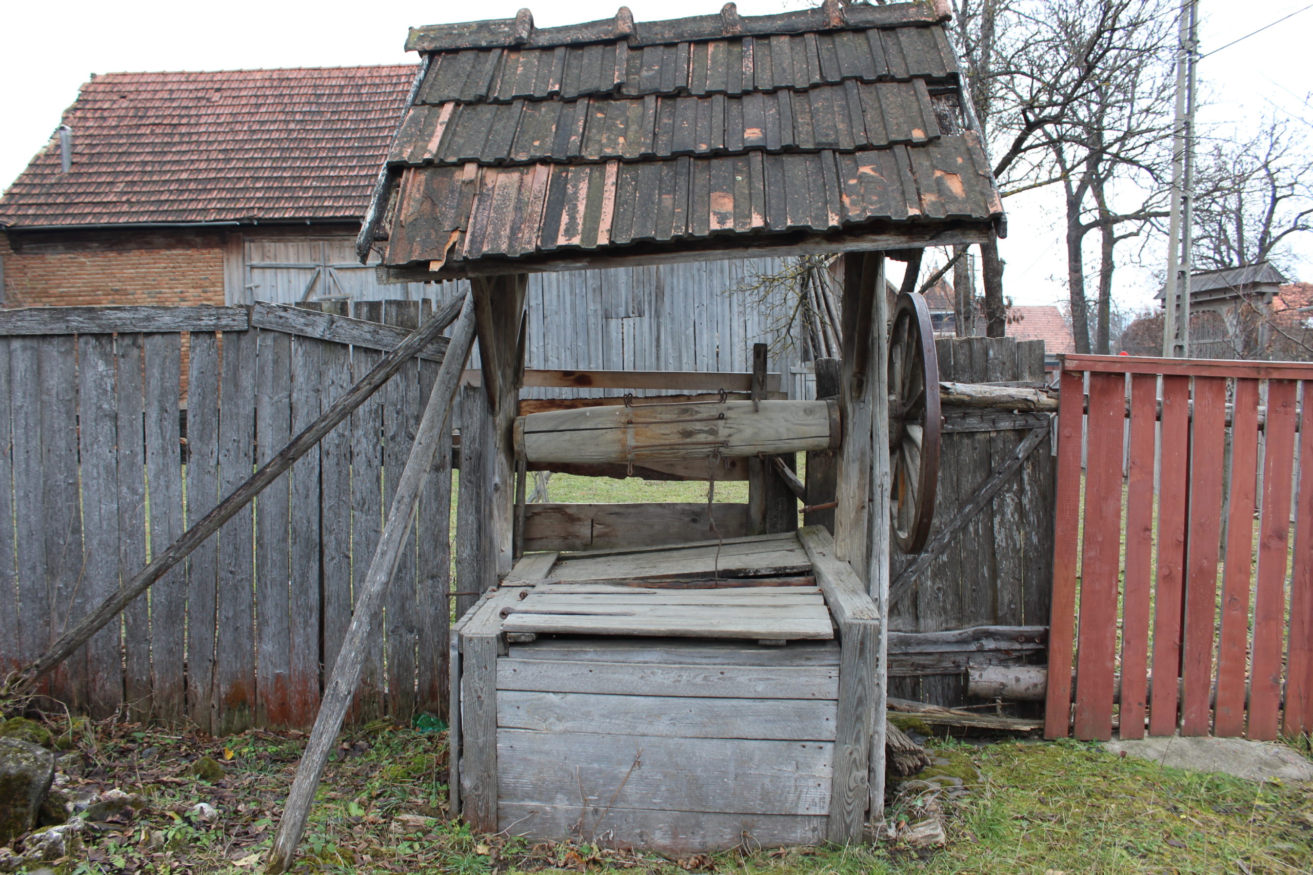
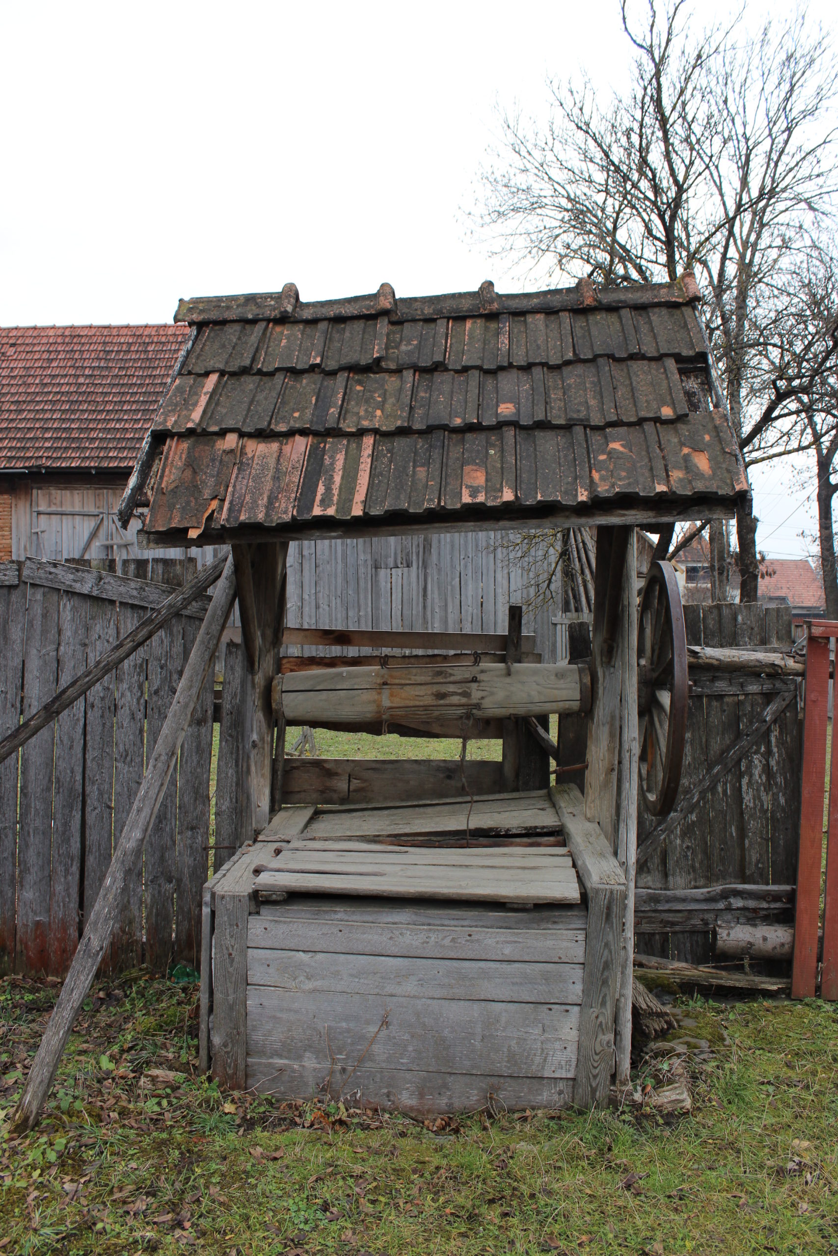
- 51. – fântână
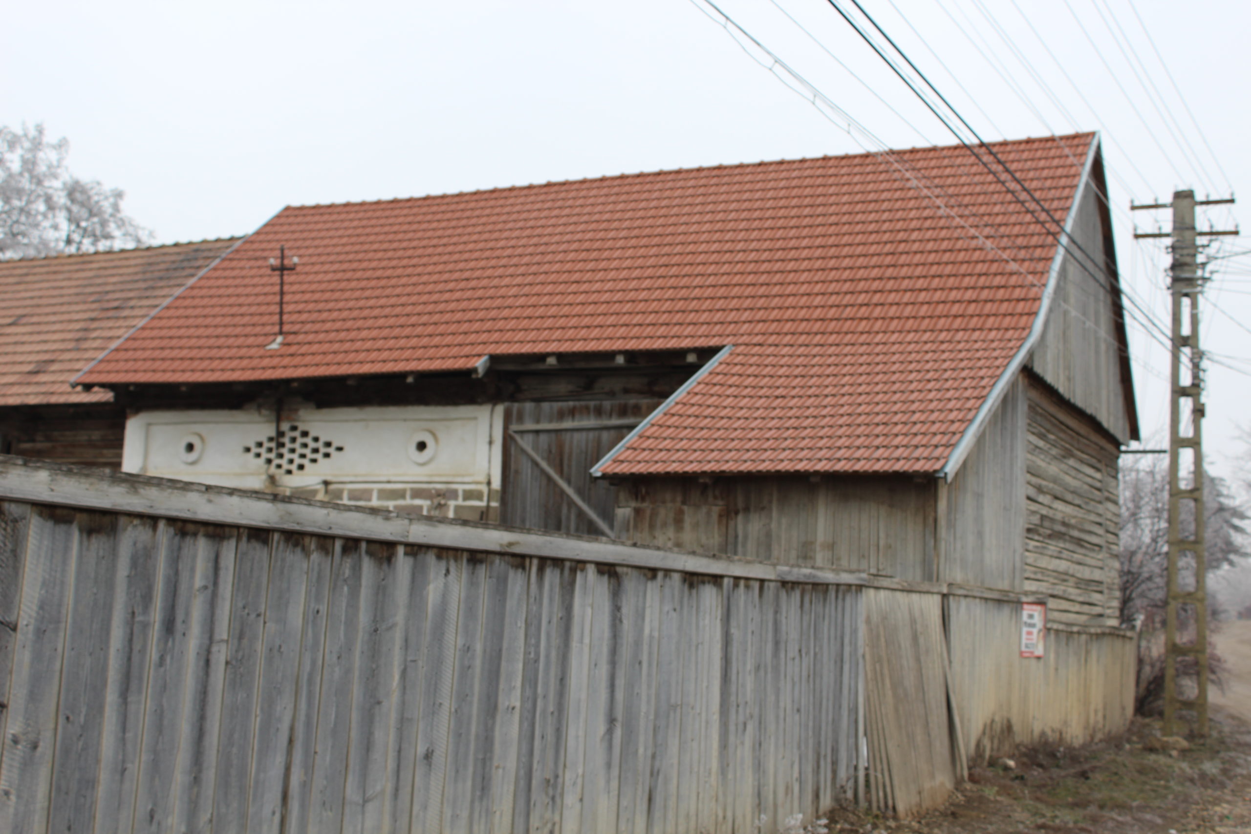
- 52. – șură
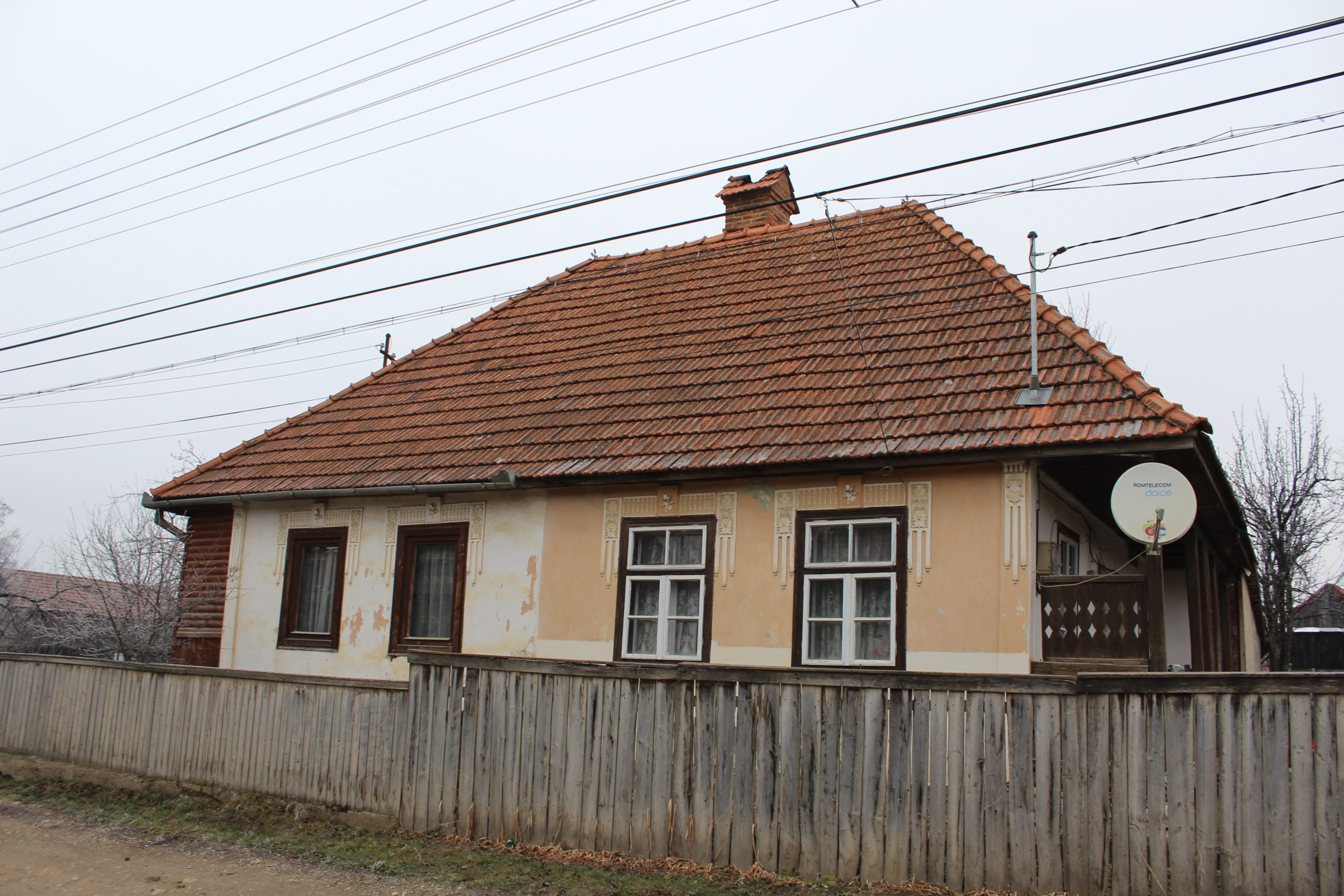
- 55. – casă de locuit
- 60. – poartă (monument istoric)
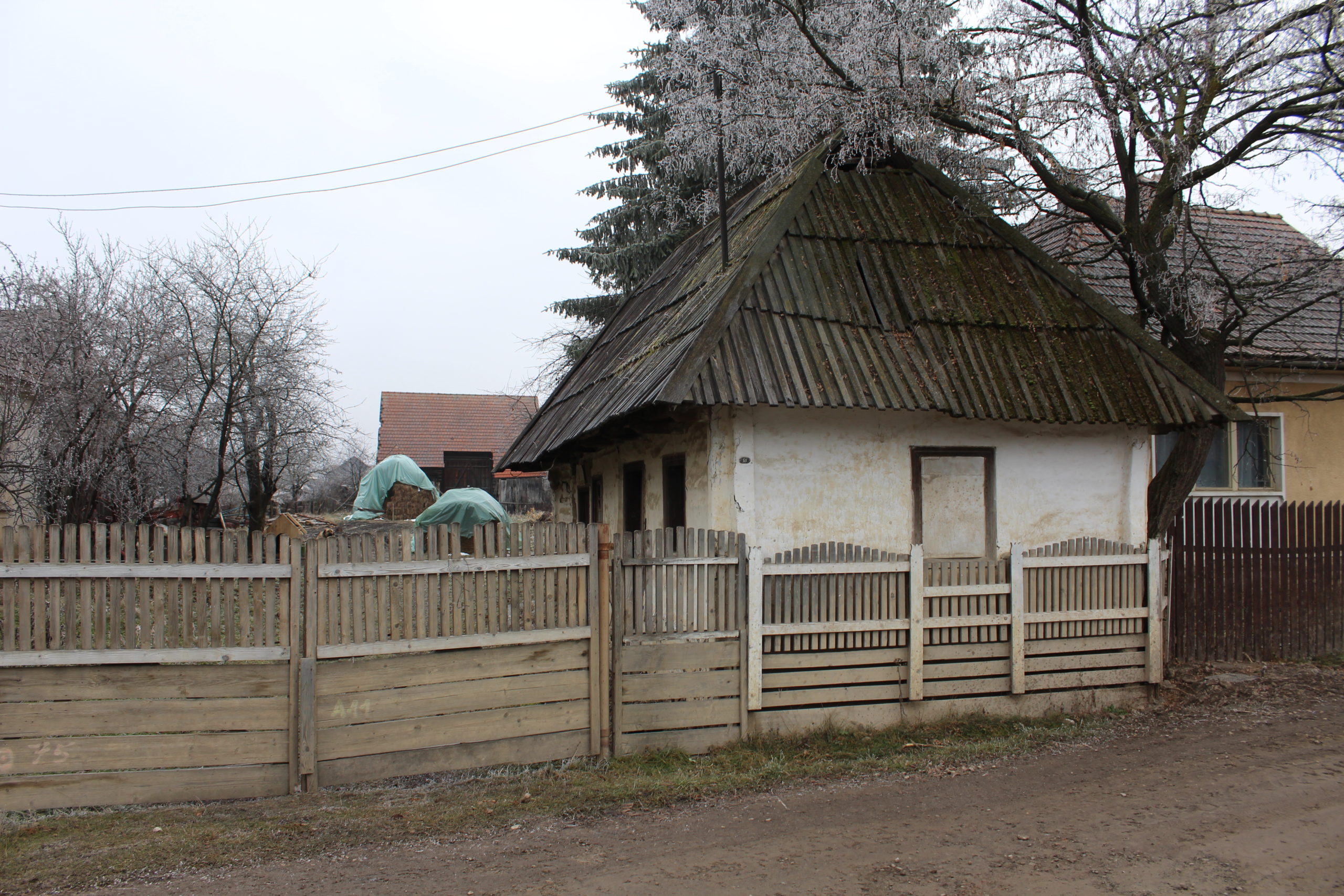
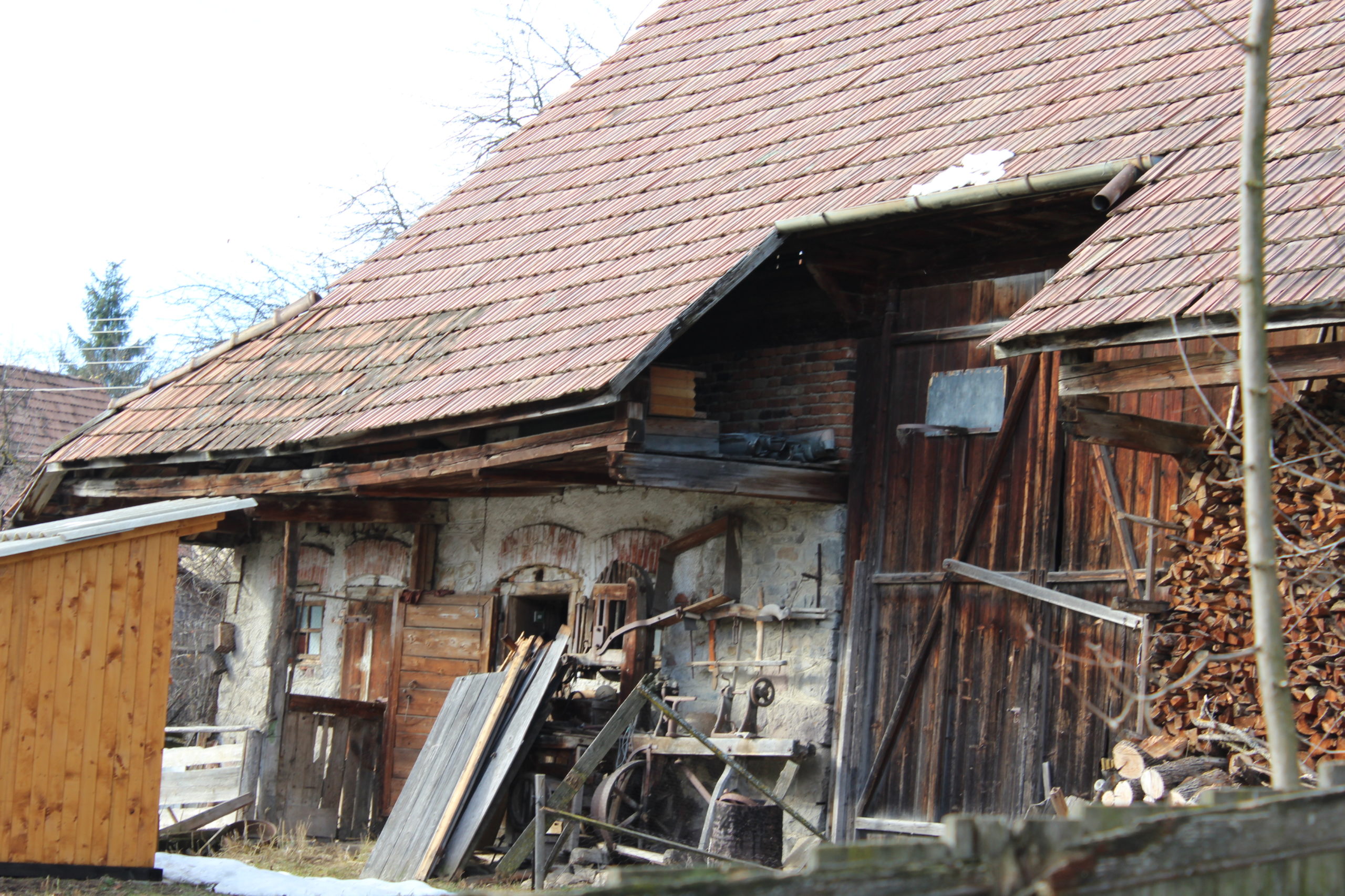
- 61. – gospodărie
- 61. – casă de locuit
- 61. – șură
- 61. – bucătăria de vară
- 65. – gospodărie
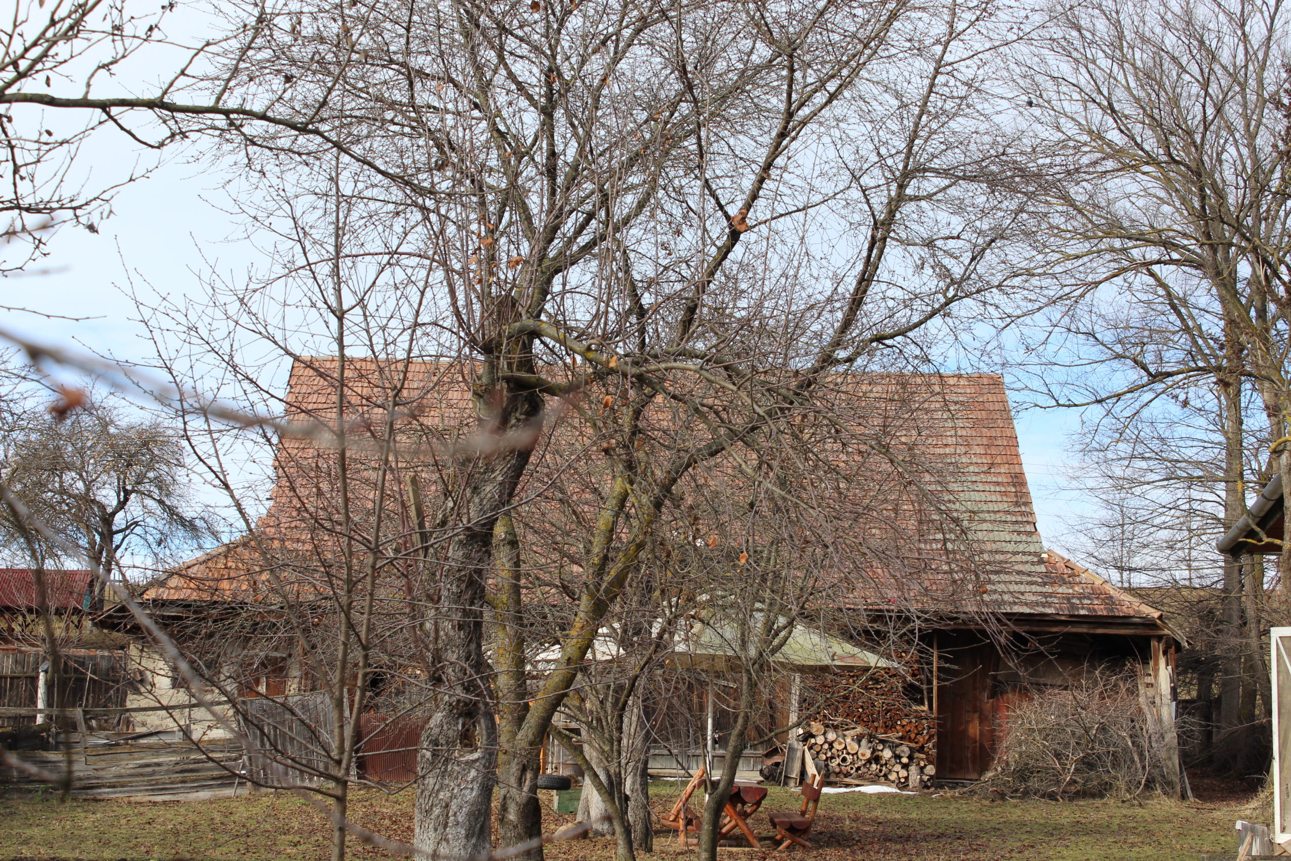
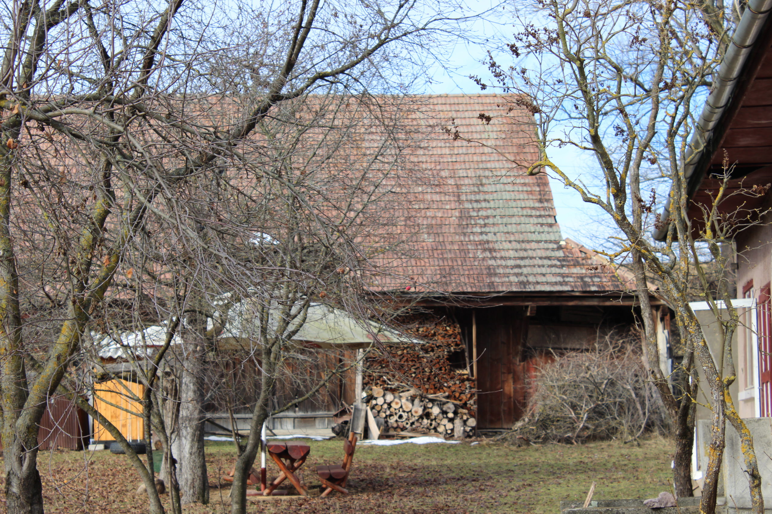
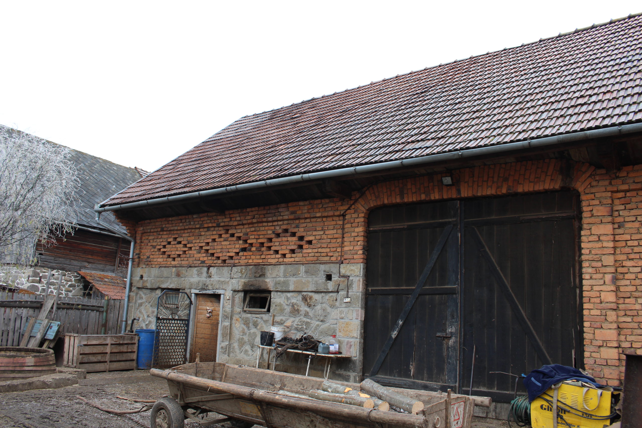
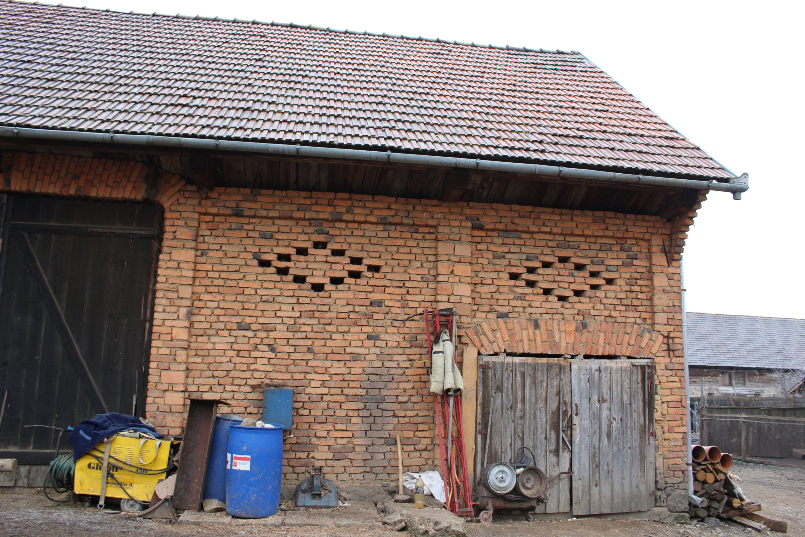
- 100. – șură
- 115. – fântână
- 121. – gospodărie
- 125. – fântână
- 125. – șură
- 147. – gospodărie
- 171. – gospodărie
- 172. – casă de locuit
- 175. – șură
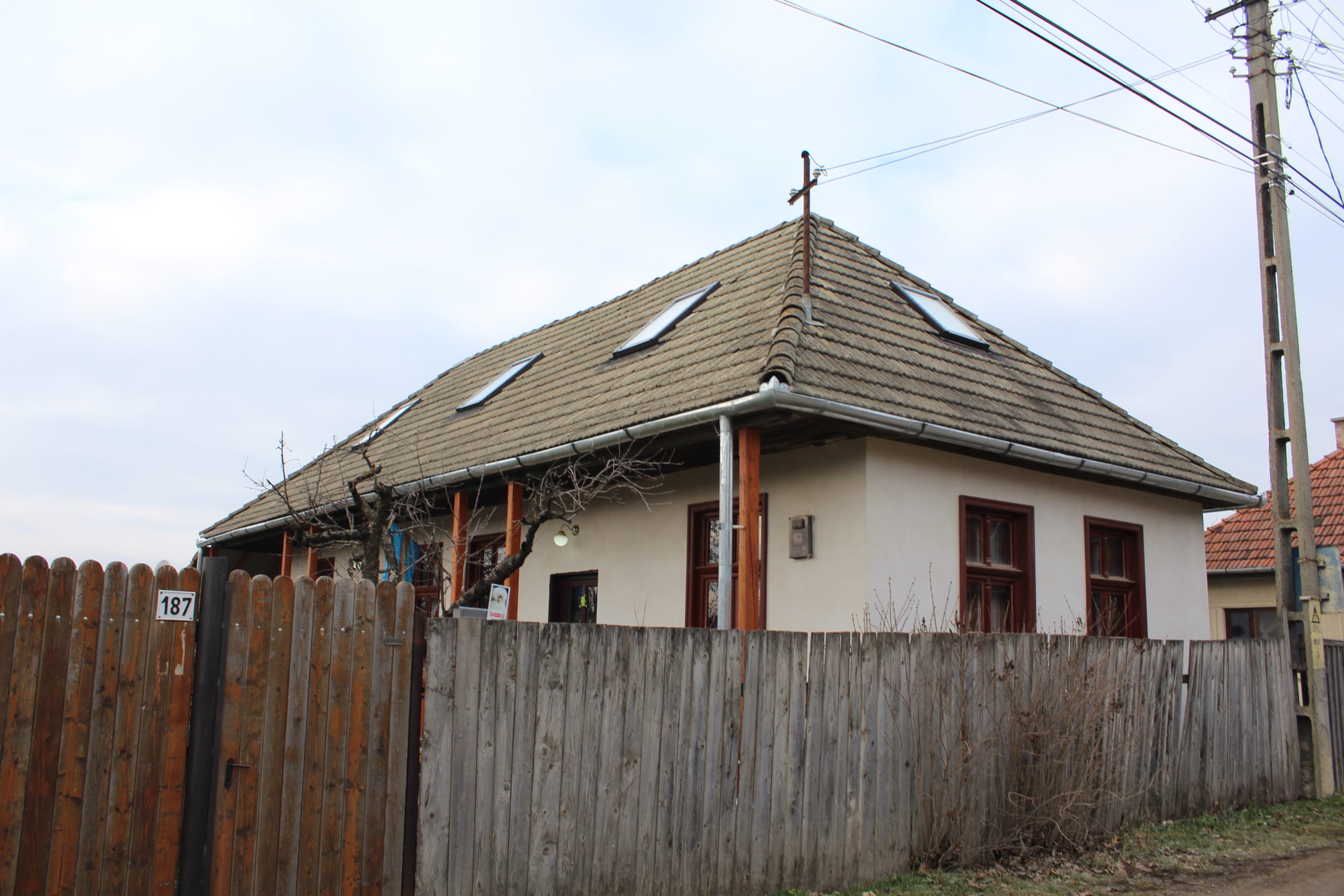
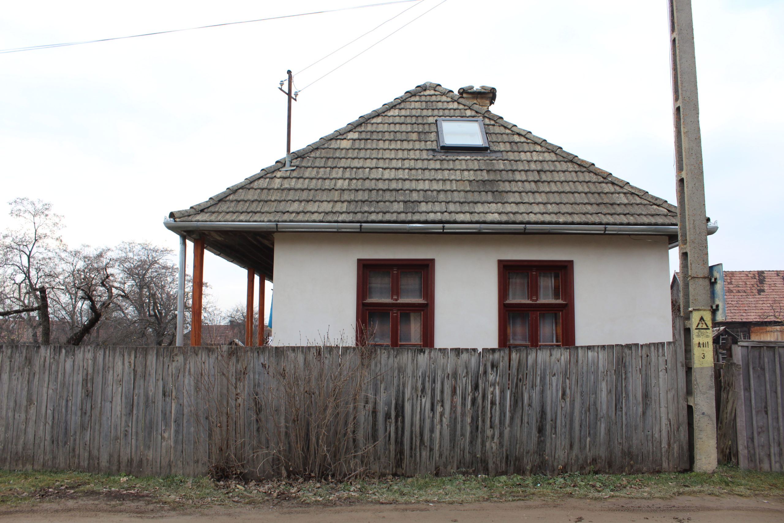
- 187. – casă
- 196. – gospodărie
- 200. – anexă
- 202. – anexă
- 202. – șură


YOUR COMMENT