Dănești

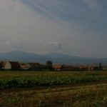
Dănești (Csíkdánfalva) is located 21 km north of Miercurea Ciuc (Csíkszereda), in the central part of the Upper Ciuc Basin, on the Olt plateau. The eastern part of the inner area is “Oltfalva”, the southern part of the village is “Város”, the centre was established in the area of “Középszeg”. The village became independent in the 20th century. Many of the characteristic dead-end streets of the old village have been preserved and are a special feature of the village today that must be preserved.

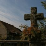
In addition to the Kőd stream, the Madicsa, Lok and several smaller streams flow down from the slopes of the Harghita, and in the centre of the village the Tósára stream, which is a drained lake with a water ditch. The dominant point of the village is the Csere Hill with the St. Stephen’s Cross, from which the whole settlement can be seen. Today’s settlement consists of the village districts of Felszeg, Középszeg, Oltfalva, Várostér, Kishegy and Réj. Its interior is crossed by the highway and the railway.

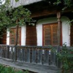
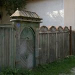
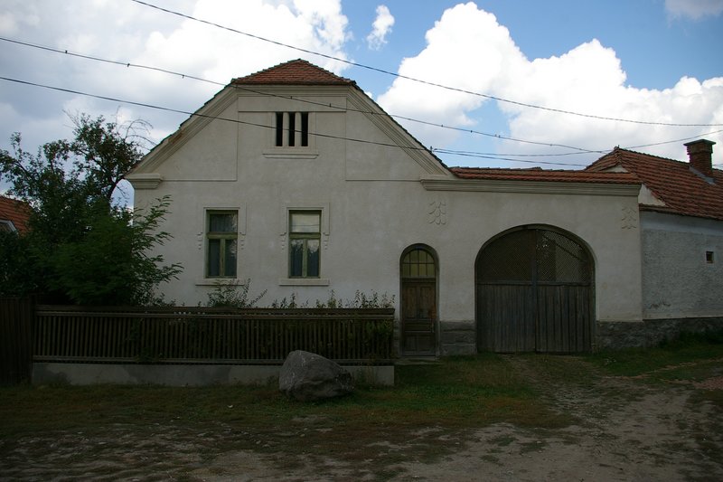
The traditional village landscape is mainly reflected in the side and dead-end streets, the sight of abandoned mill ditches and the tidiness of the tidy courtyards.

Documents

Photos

YOUR COMMENT

Dănești

Dănești este situat la 21 km nord de Miercurea Ciuc, în partea de mijloc a bazinului Ciucului de Sus, pe platoul Oltului. Satul se compune din trei unități organizatorice (“zecimi”). Satul a devenit independent în secolul al XX-lea. Străzile au primit nume tipice, cum ar fi: strada Antalok, strada Gatyaszár, strada Hadnagyok, Kishegy-szer, Cseréremenő, strada Középtíz etc. Din structura caracteristică, cu fundături, multe elemente au supraviețuit și sunt considerate a fi valori speciale care trebuie păstrate în imaginea satului de astăzi.

Pe lângă pârâul Kőd, pârâul Madicsa, Lok și mai multe pâraie mai mici care curg de pe versanții Harghitei, în mijlocul satului găsim pârâul Tósara, care este un șanț al unui lac drenat. Un sit definitoriu al satului este vârful Csere cu crucea Sf. Ștefan, de unde poate fi văzută întreaga așezare. Așezarea de astăzi este formată din unitățile Felszeg, Középszeg, Oltfalva, Várostér, Kishegy și Réj. Intravilanul este traversat de drumul național și  de calea ferată.

Imaginea tradițională a satului este reflectat în principal de străzile secundare și de fundături, de canalurile de moară abandonate și de porțile îngrijite.

Studiu privind imaginea satului (2009)

Fotografii

YOUR COMMENT