
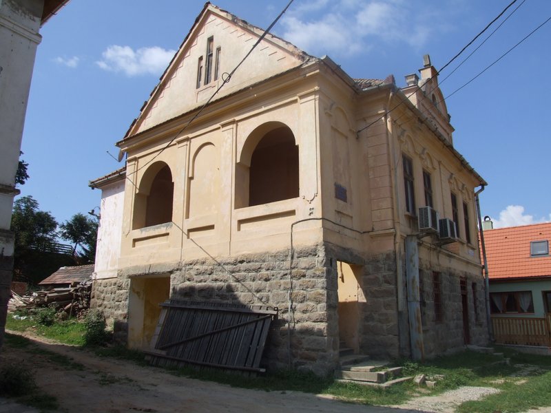
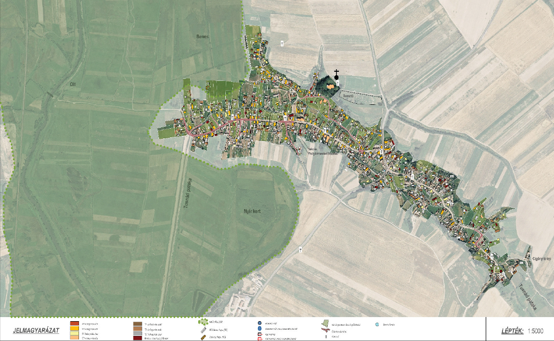
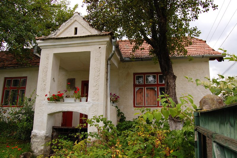
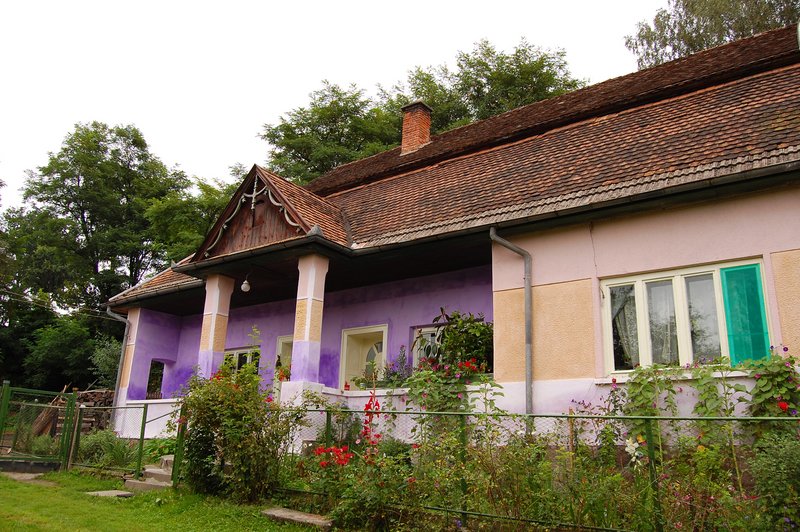
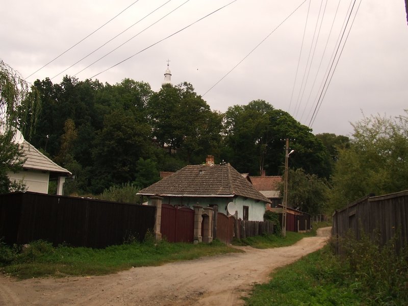
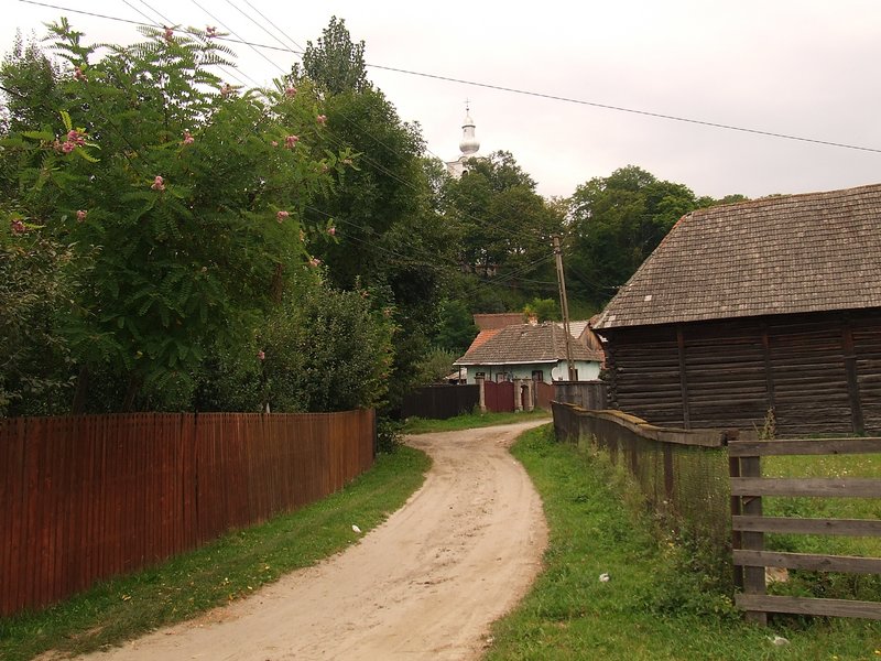
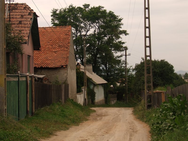
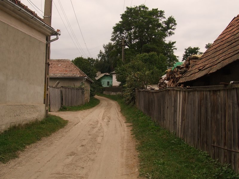
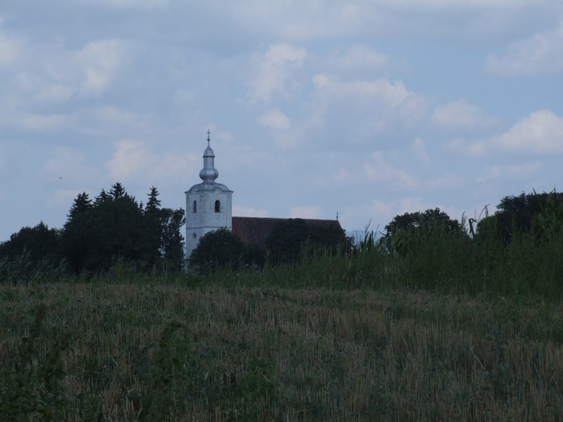
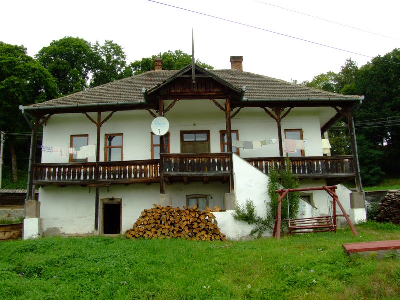
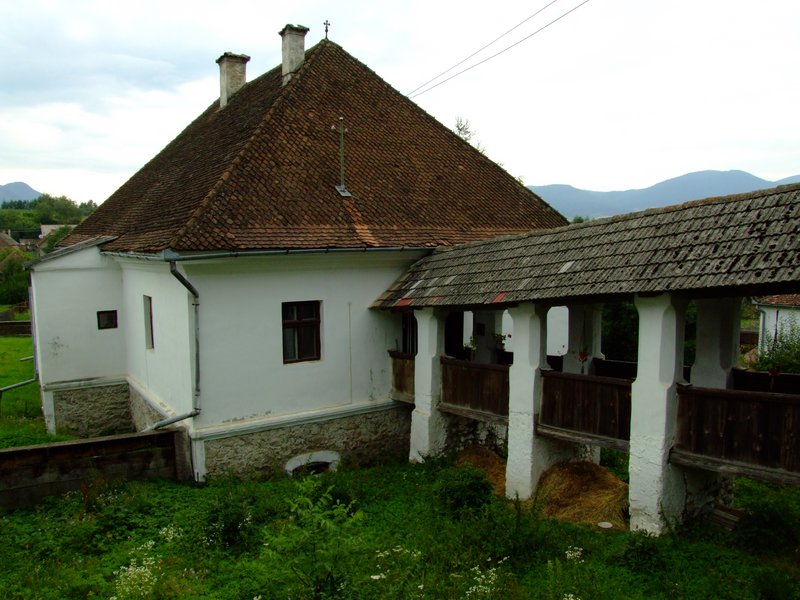
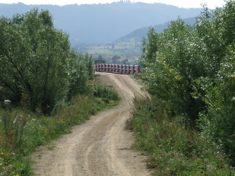
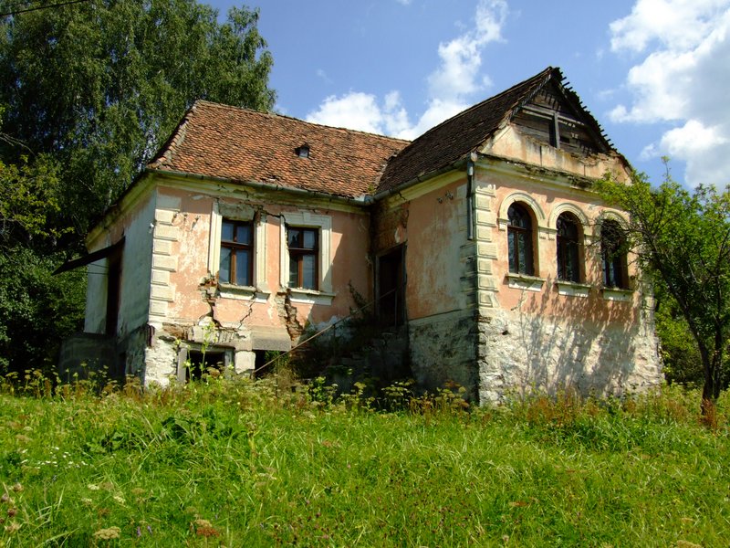
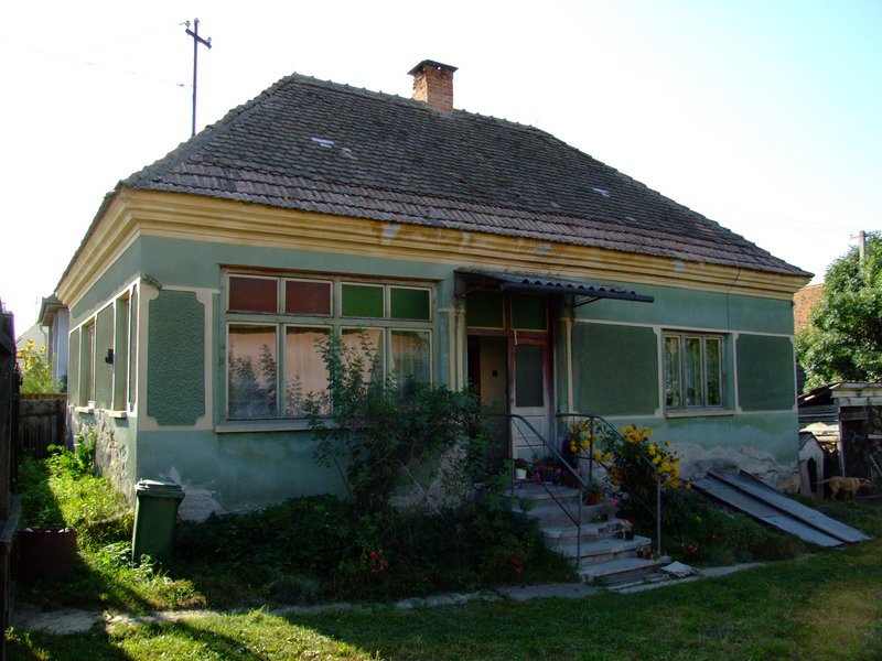
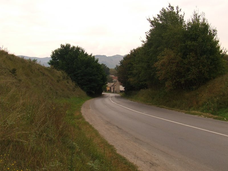
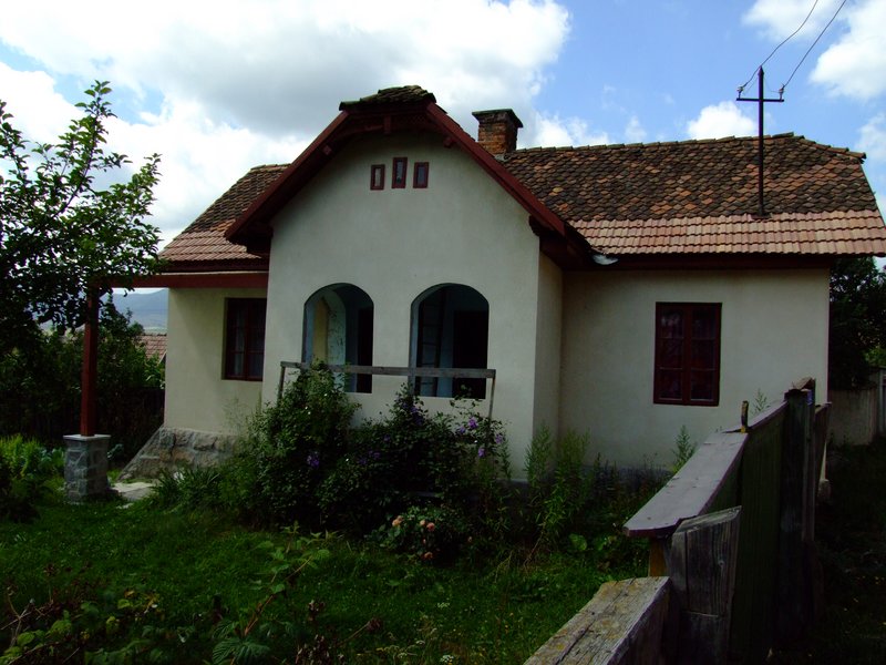
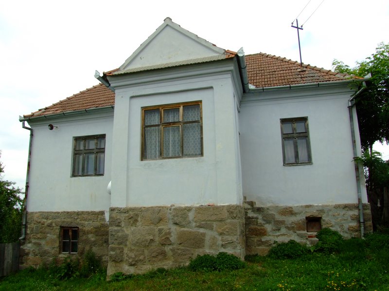
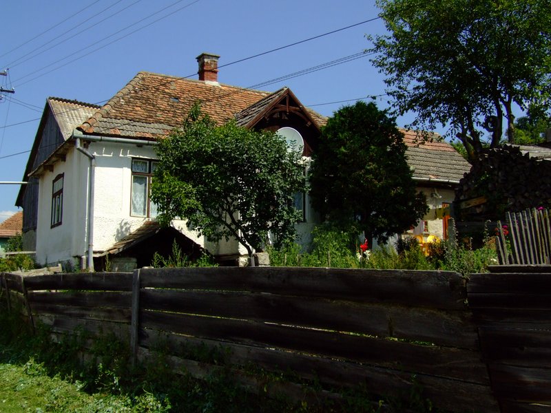
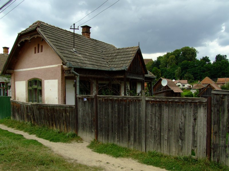
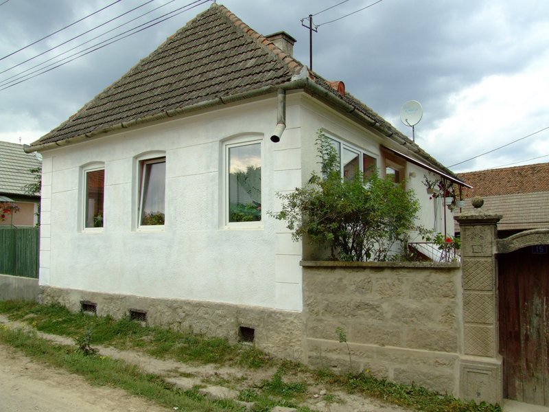
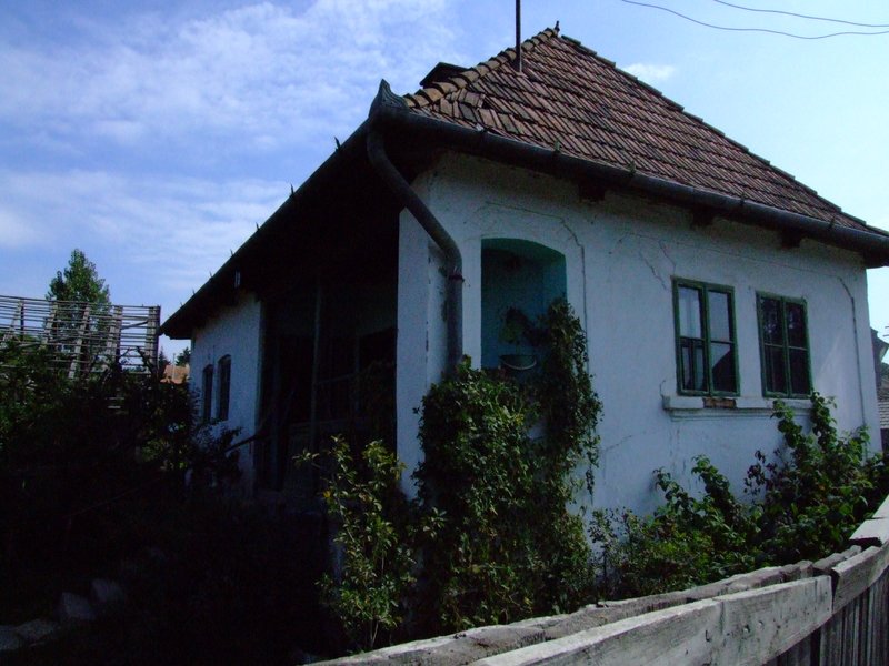
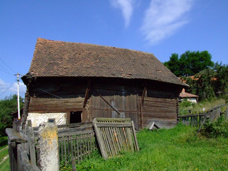
Tușnad (Nagytusnád) is located in the southern part of the Lower Ciuc (Alcsík) Basin, at the northern foothills of the Csomád Mountain. The whole village is situated in the valley of the Tusnád stream. The enclosed valley is surrounded on two sides by fields. Only the Catholic church, surrounded by the cemetery, is situated on the perimeter of the village. The valley opens out completely to the east-west around Alszeg. Here are the marshes of Benes and Nyír-kert, part of the wider floodplain of the Olt. From the rim above the village, there are fine views of the hills.
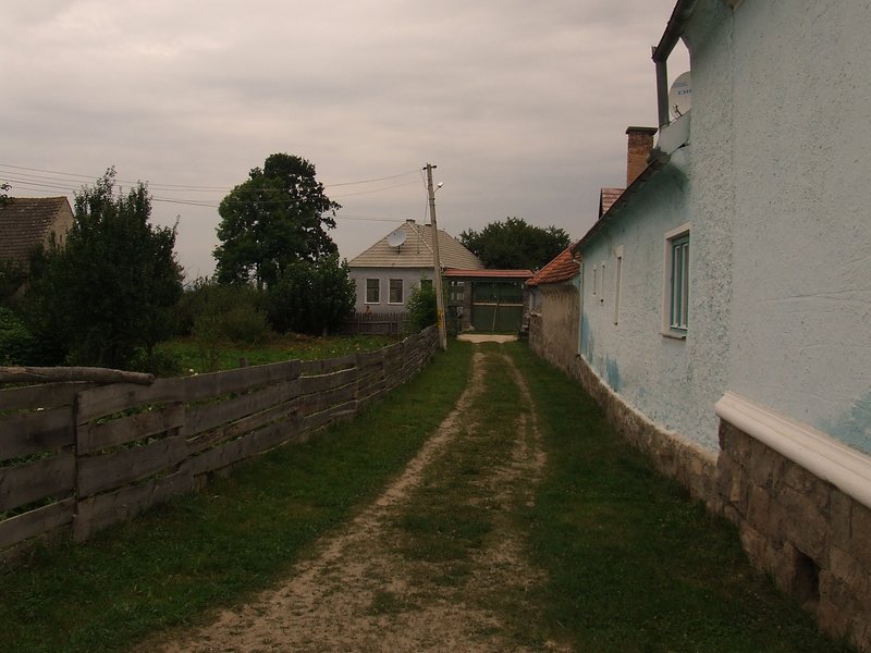
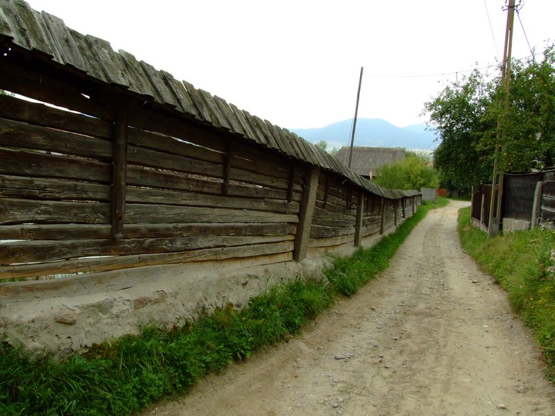
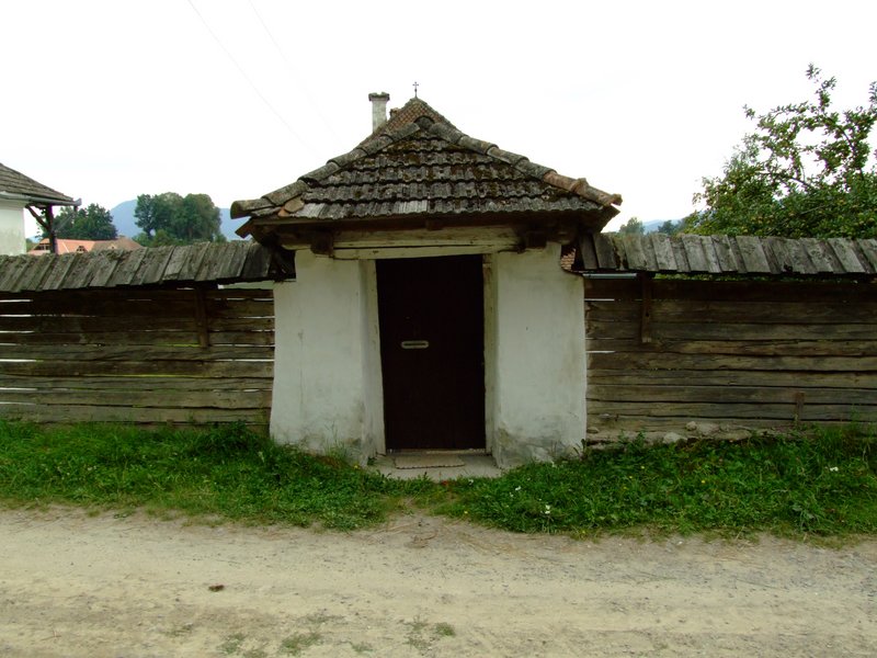
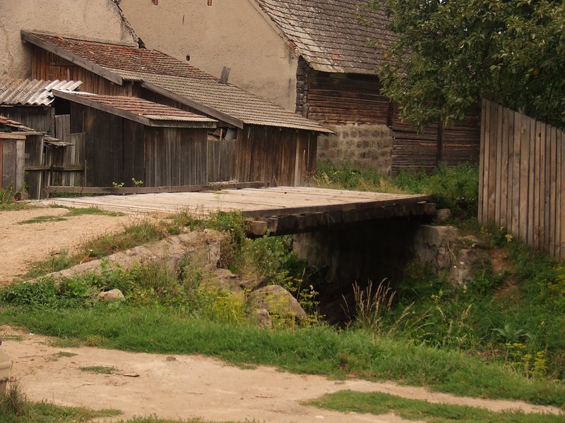
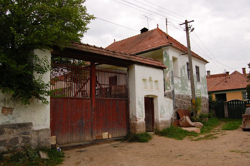
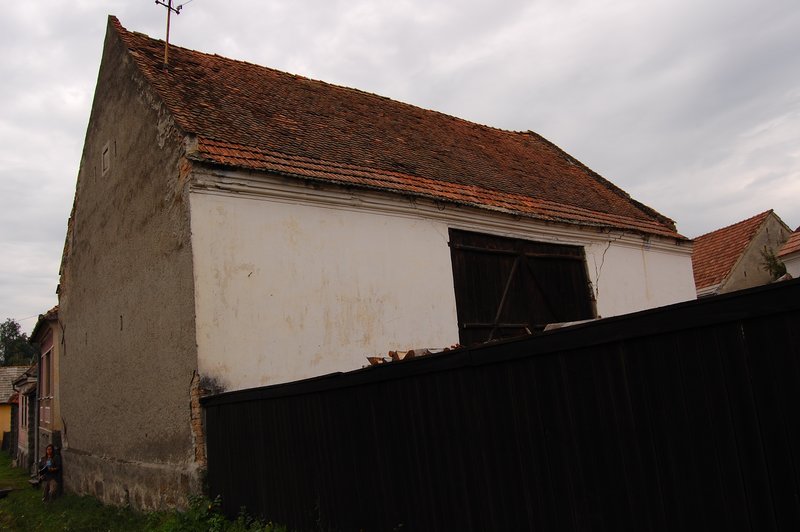
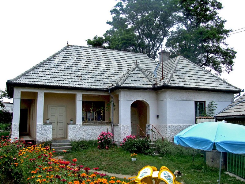
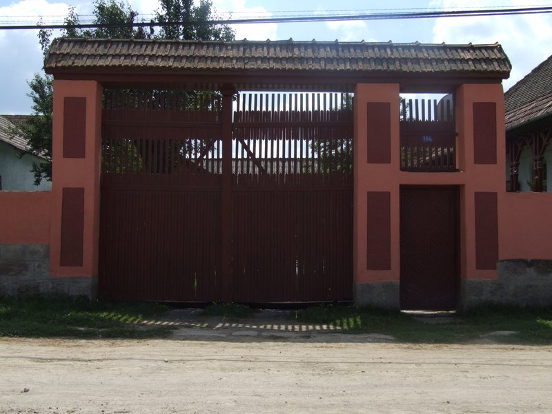
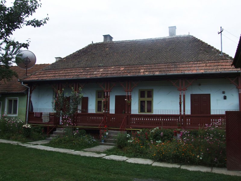
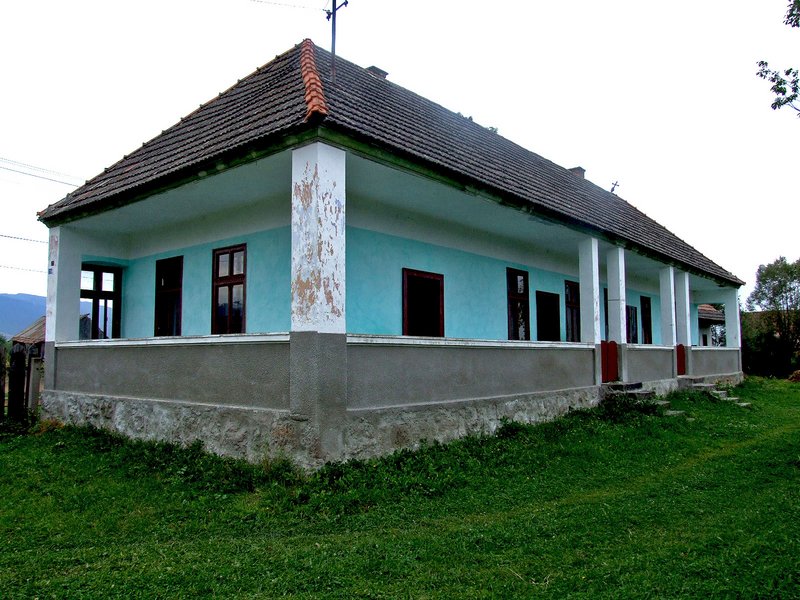
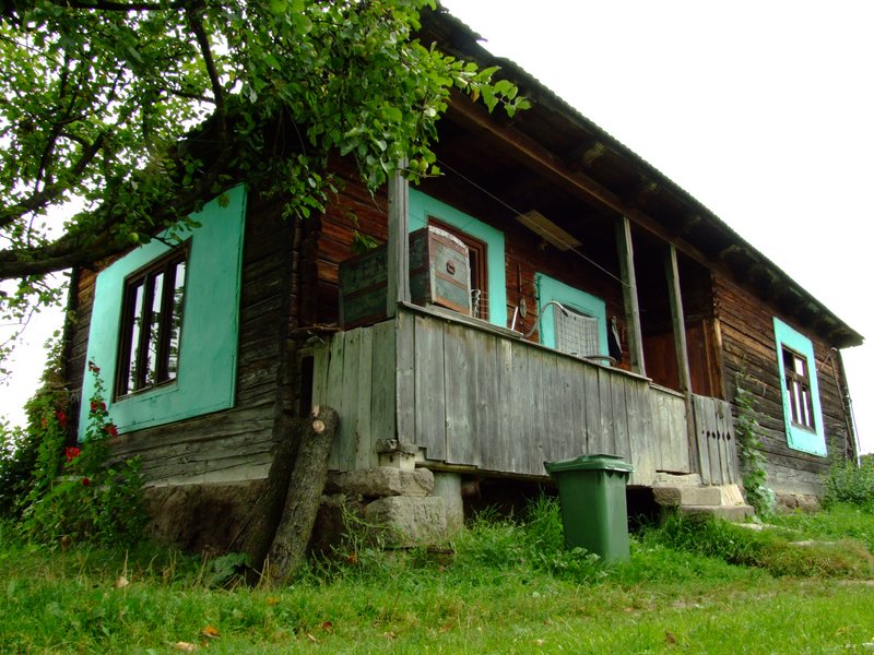
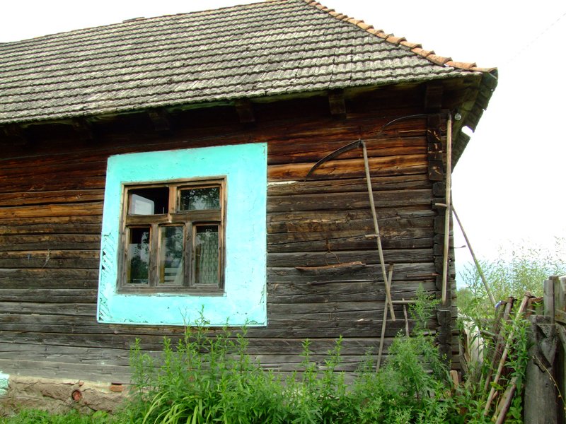
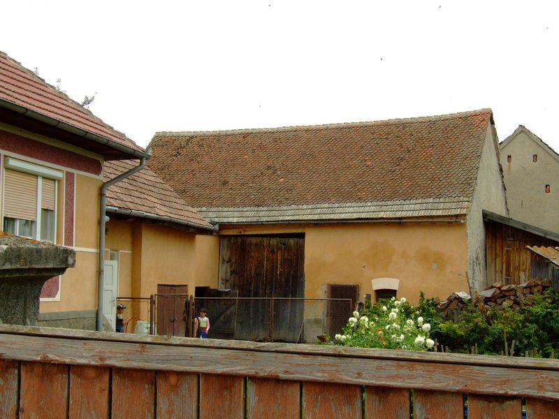
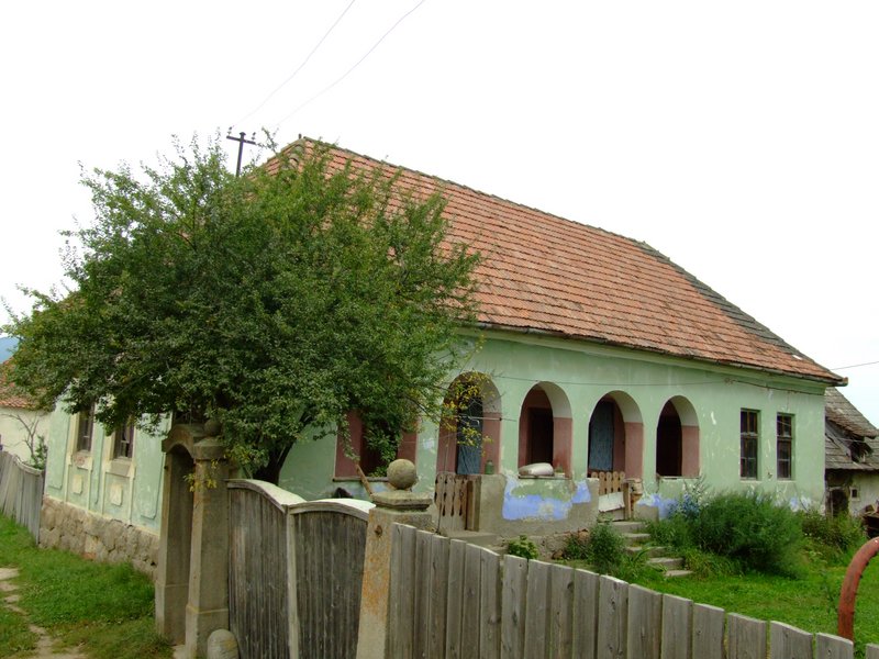
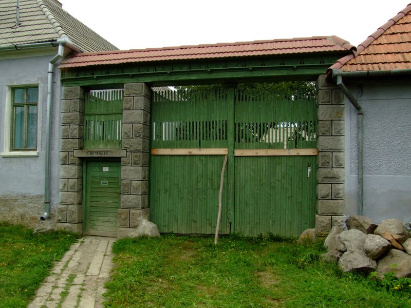
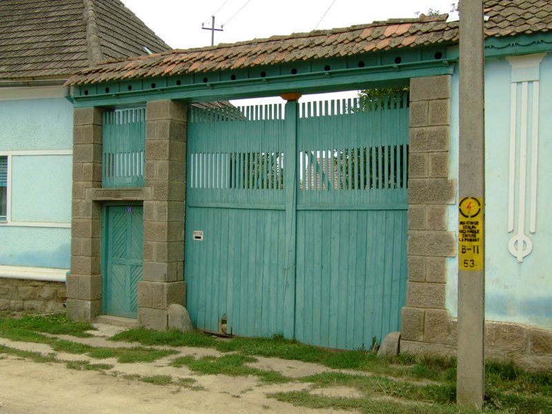
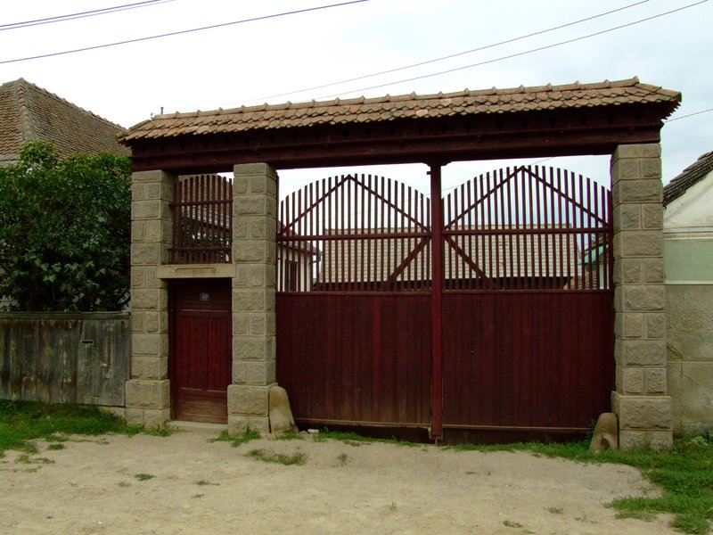
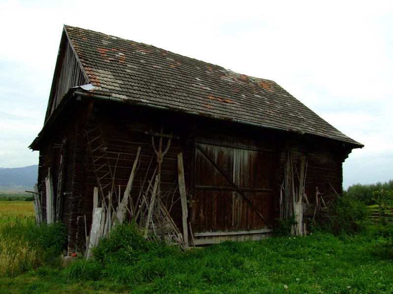
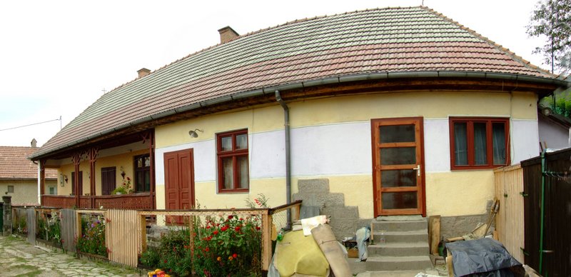
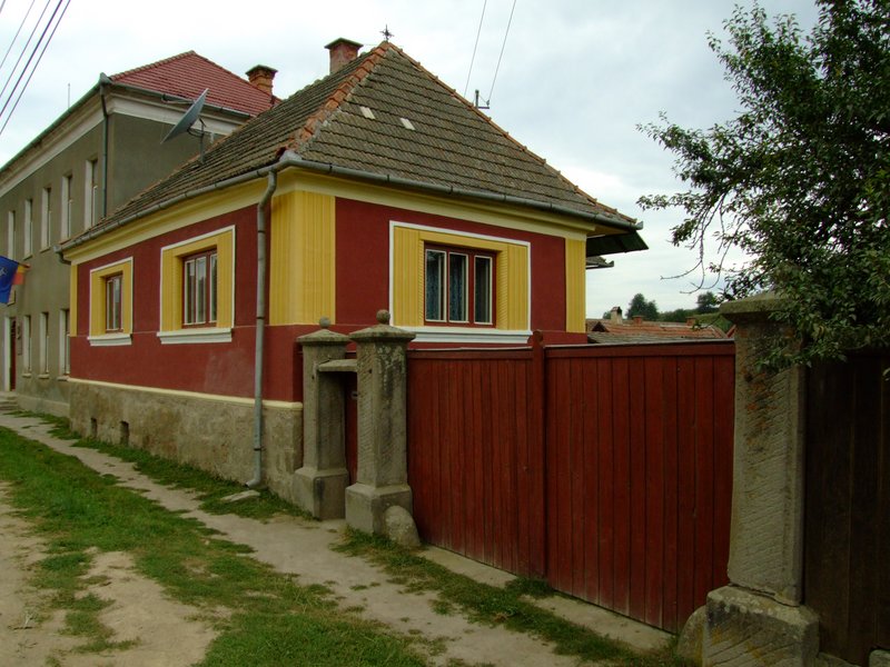
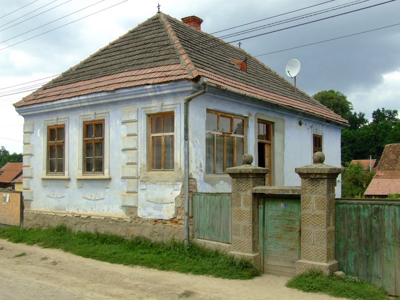
Due to the narrow valley, the tithes of the village have merged. The roads that cut through the marshes are the main streetscape features of the village. Other zones of importance have been selected according to the quality of the built and natural environment, the points of perspective revealed and the dynamics of the terrain. In terms of site allocation, the layout is mostly comb-type.


YOUR COMMENT