
Păuleni (Csíkpálfalva) is situated on the eastern edge of the Central Ciuc Basin, north of Șumuleu Ciuc (Csíksomlyó), in the valley of the Aracs and Nyír streams. It is situated at an altitude of about 740 m above sea level, only 5 km away from Miercurea Ciuc (Csíksomlyó). The climate of the village is typical of the intermountain basins, with long, cold winters, short but relatively warm summers and frequent fog in autumn and spring (60-70 days per year). It covers an area of 76,83 ha. The economic profile of the village is mainly based on livestock farming and wood processing. The village still has a number of folk crafts, and is one of the places where traditional woollen fabrics and dyed woollen carpets are still a local feature.
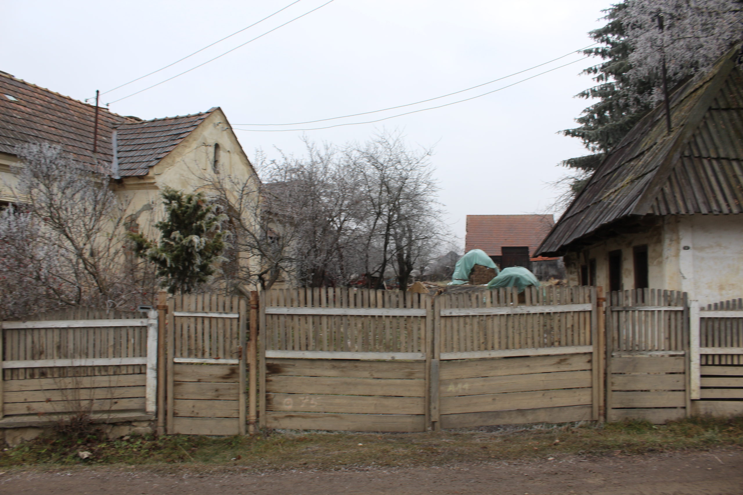
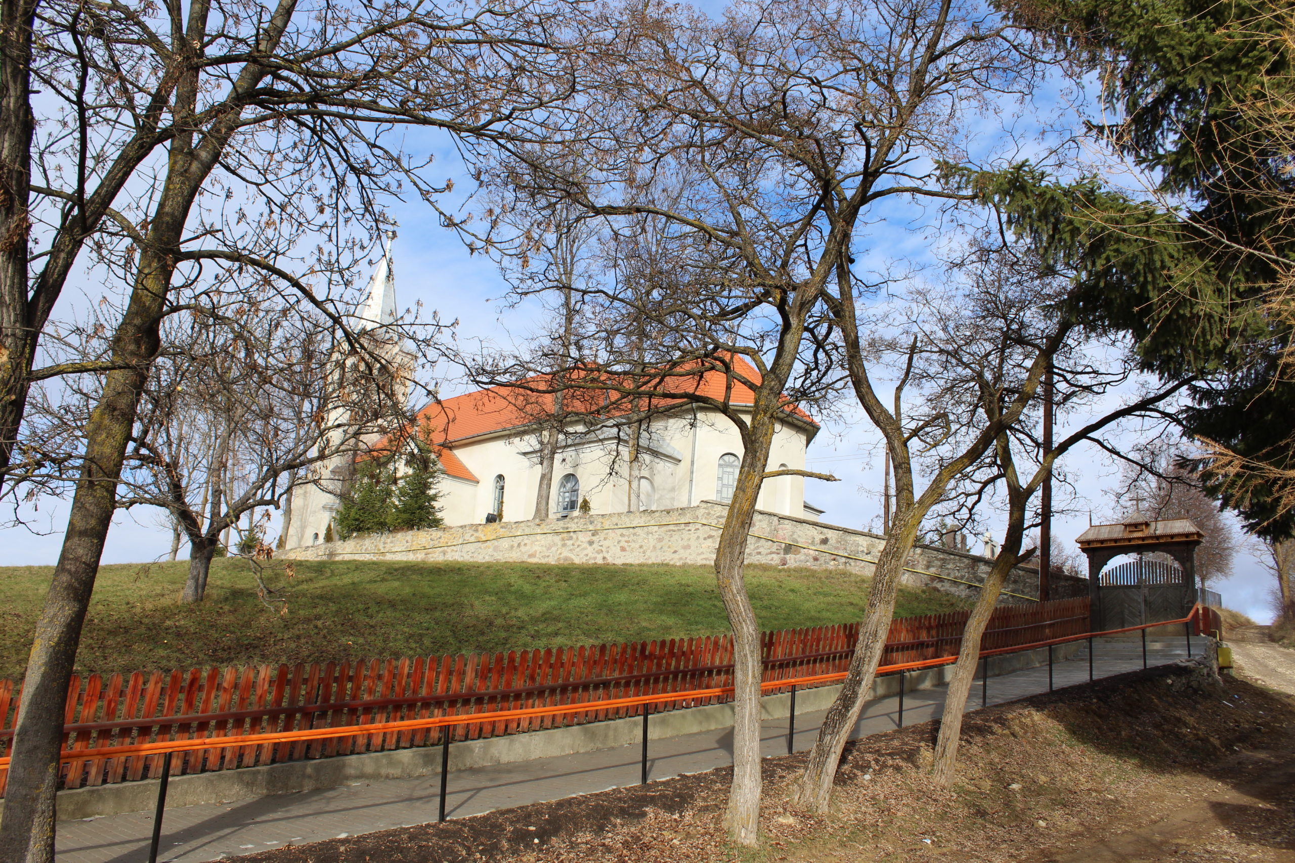
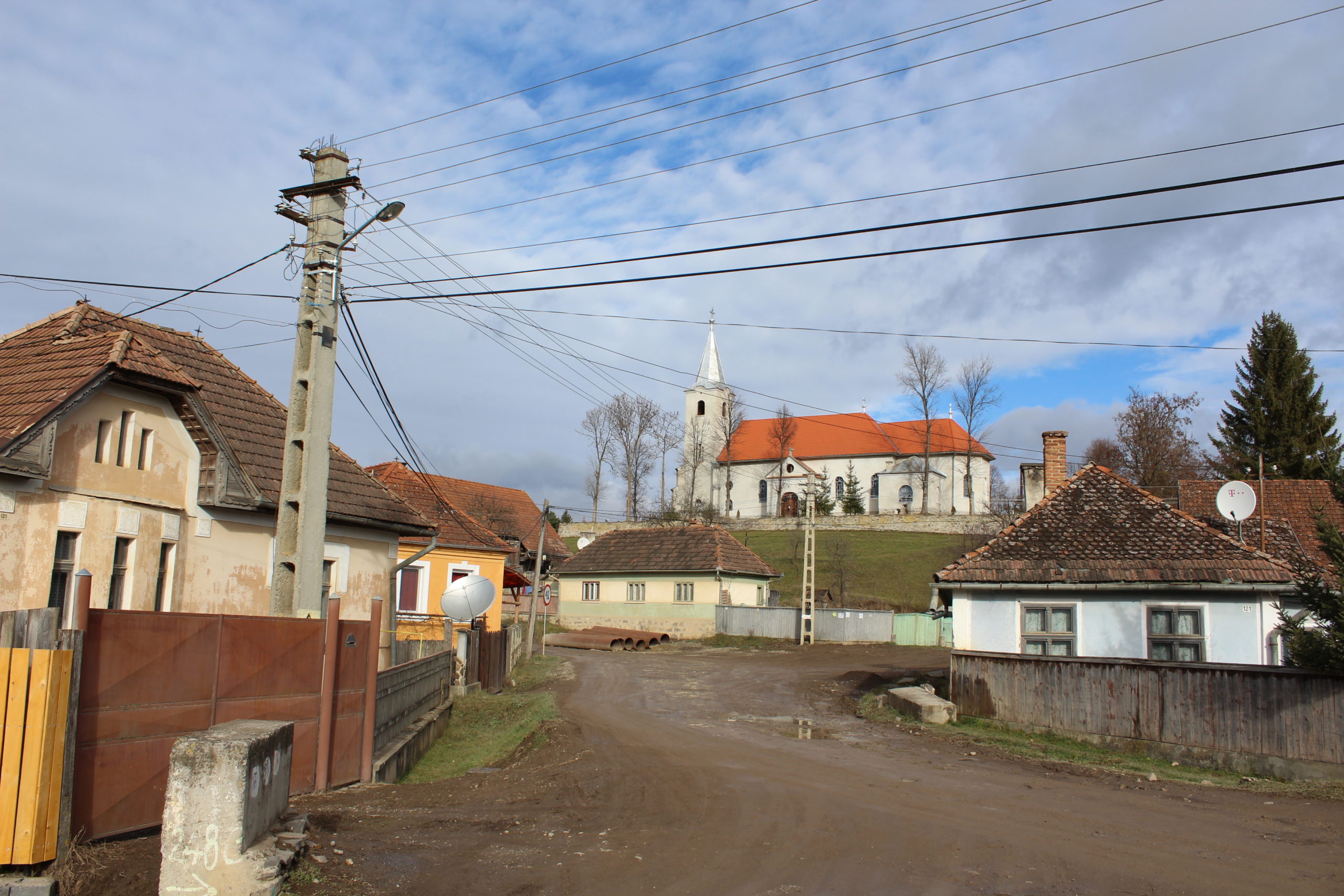
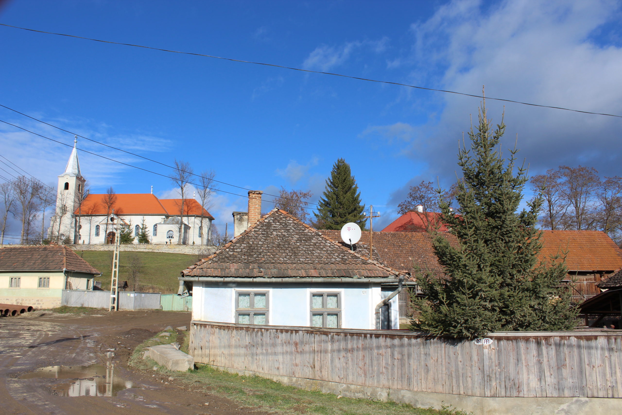
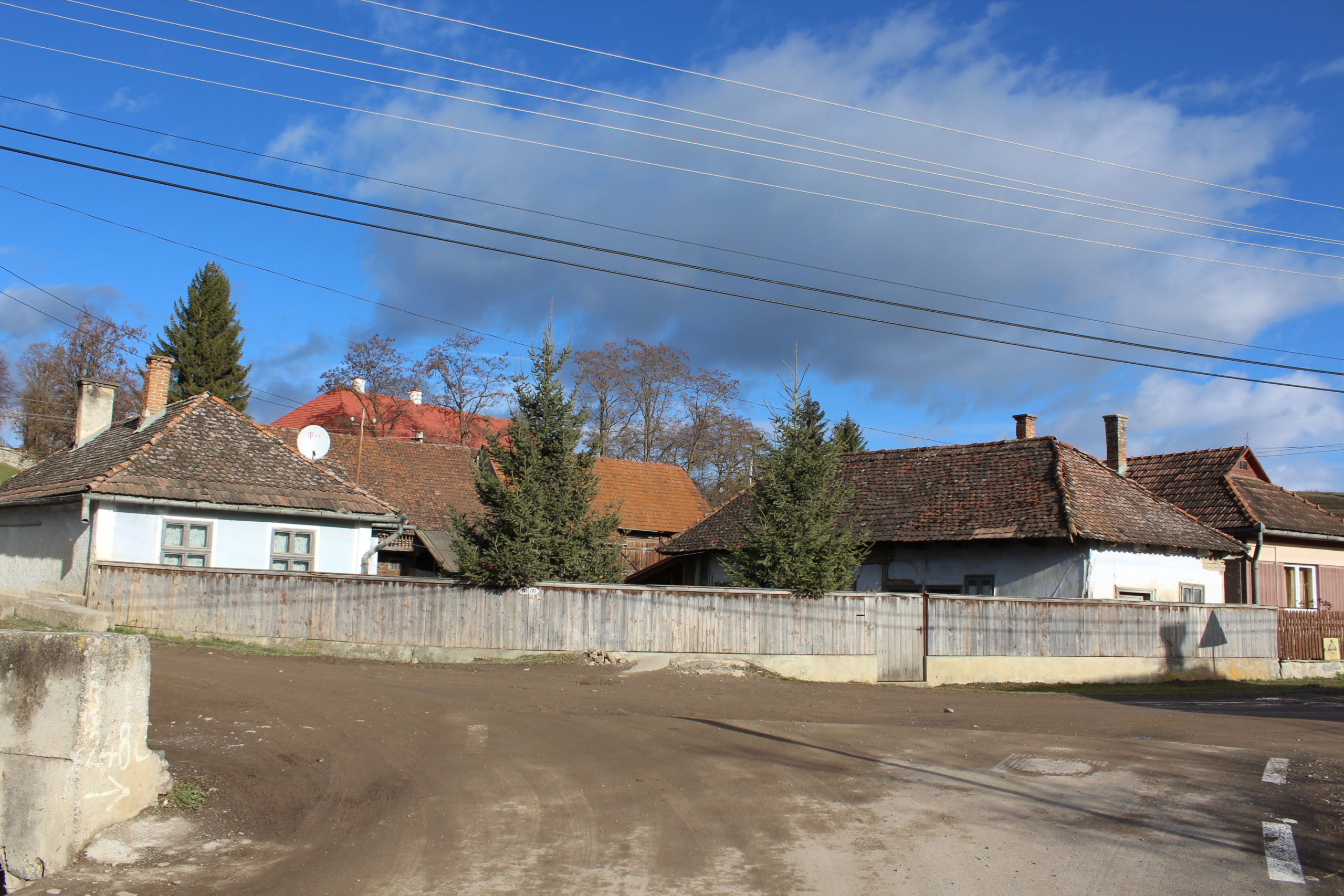
In terms of the shape of the settlement, it is a cluster village, with long parcels that dominate the village structure. The main axis runs north-west and south-east, the dominant axis of the village, from which winding side streets branch off to form dead-end streets and adjacent rings. The dead-end streets of the central side streets are the former cul-de-sacs of the extended family. The most important landmark is the church, located at the north-western corner of the village, above the average level, dominating most of the perspectives.
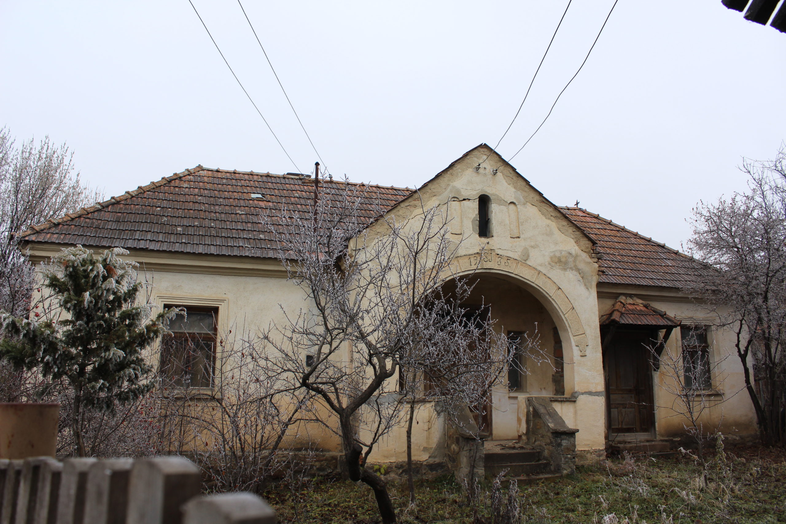
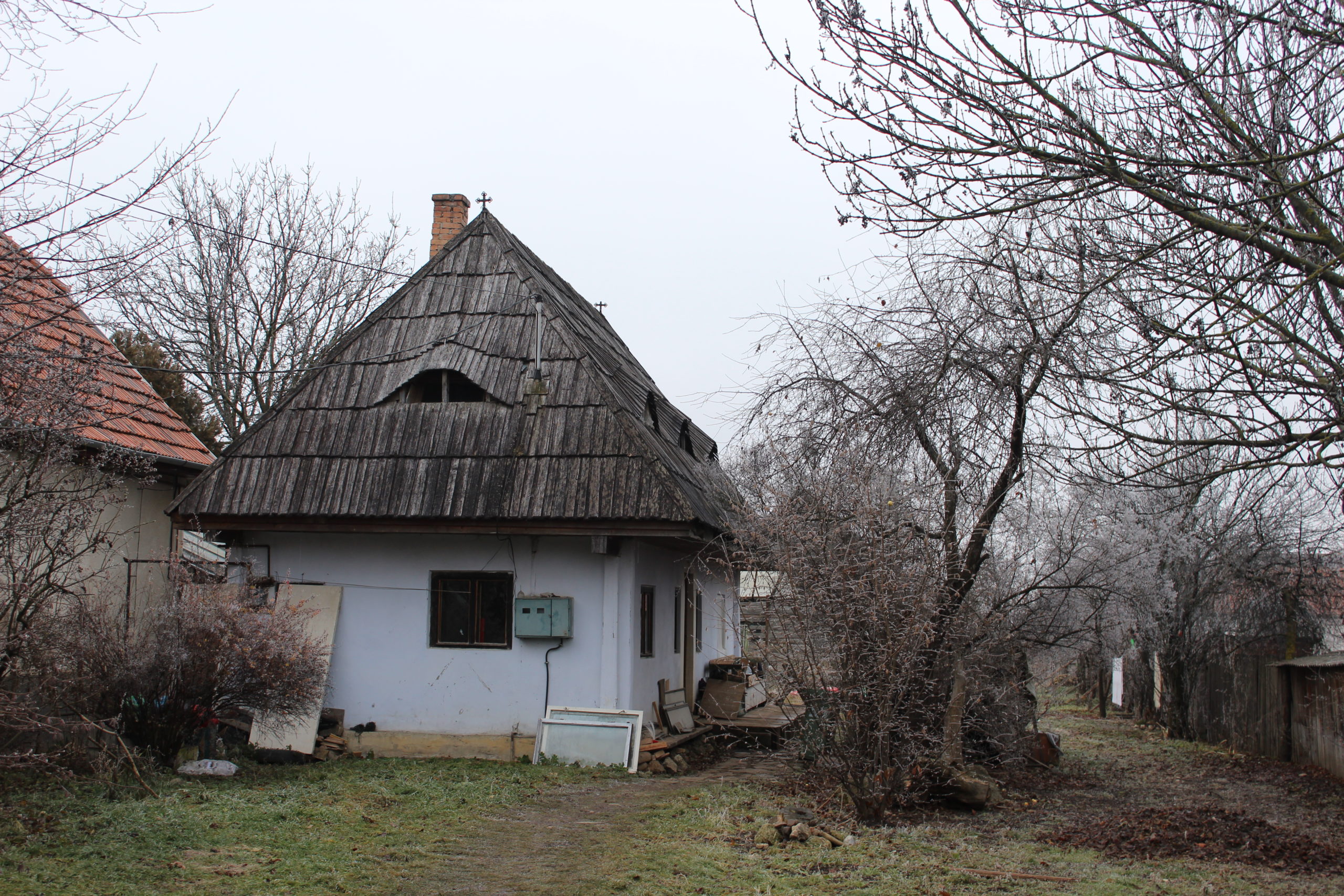
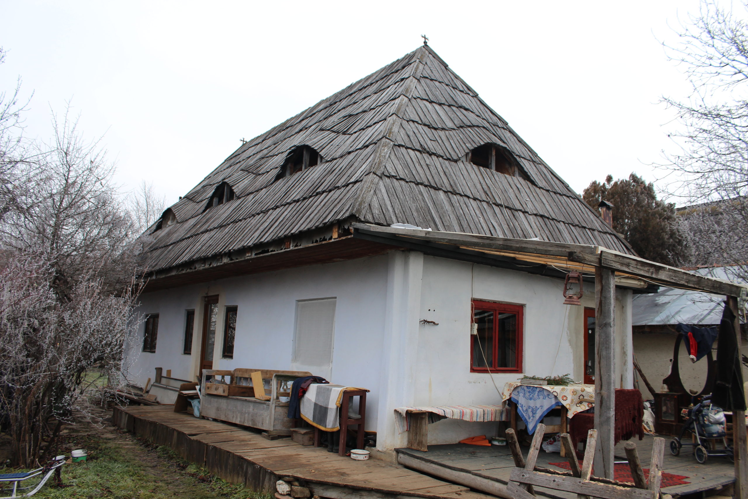
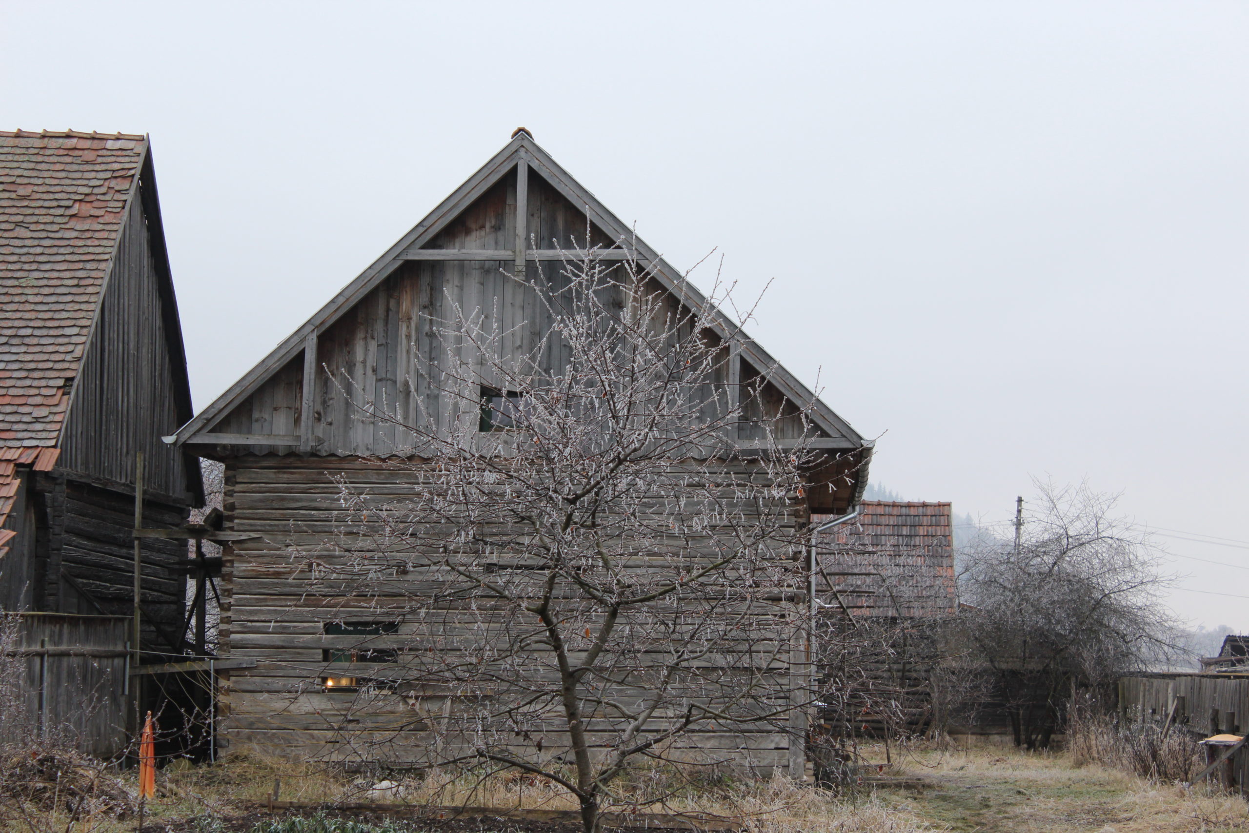
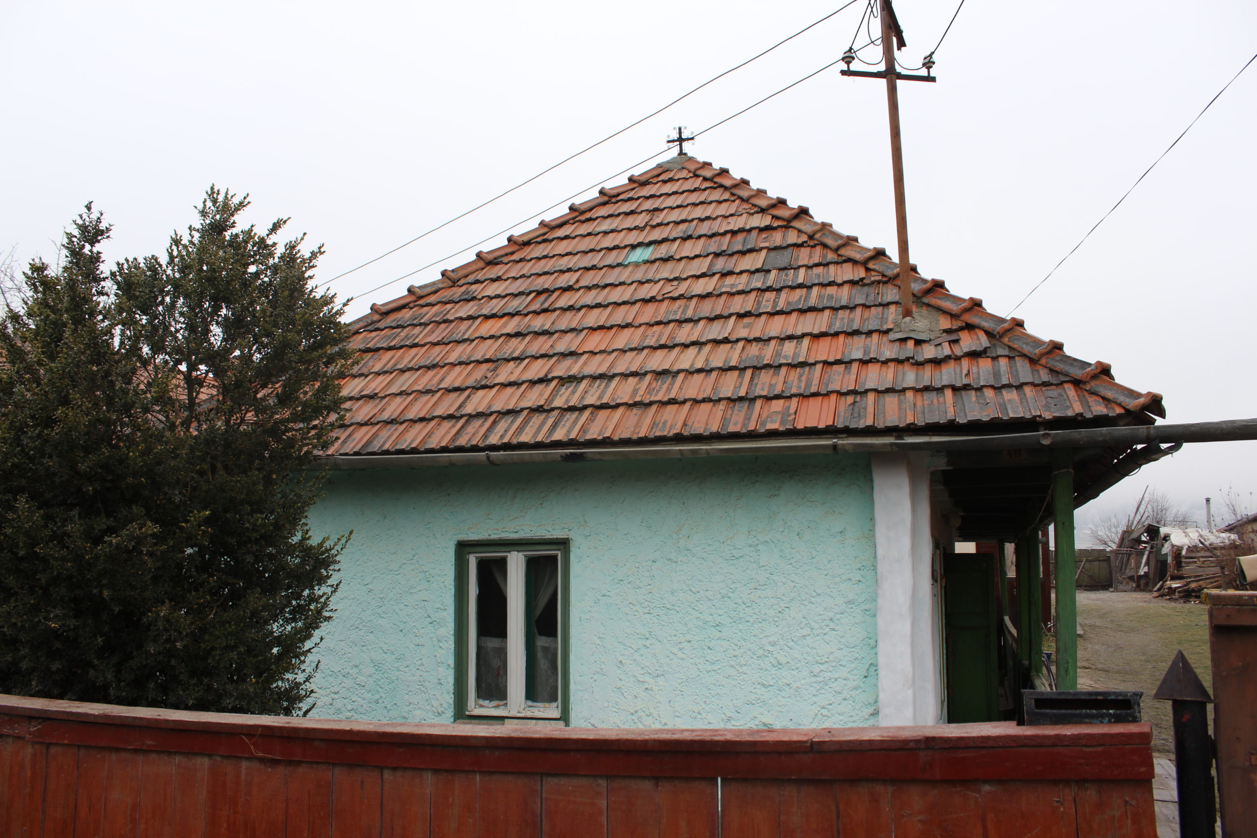
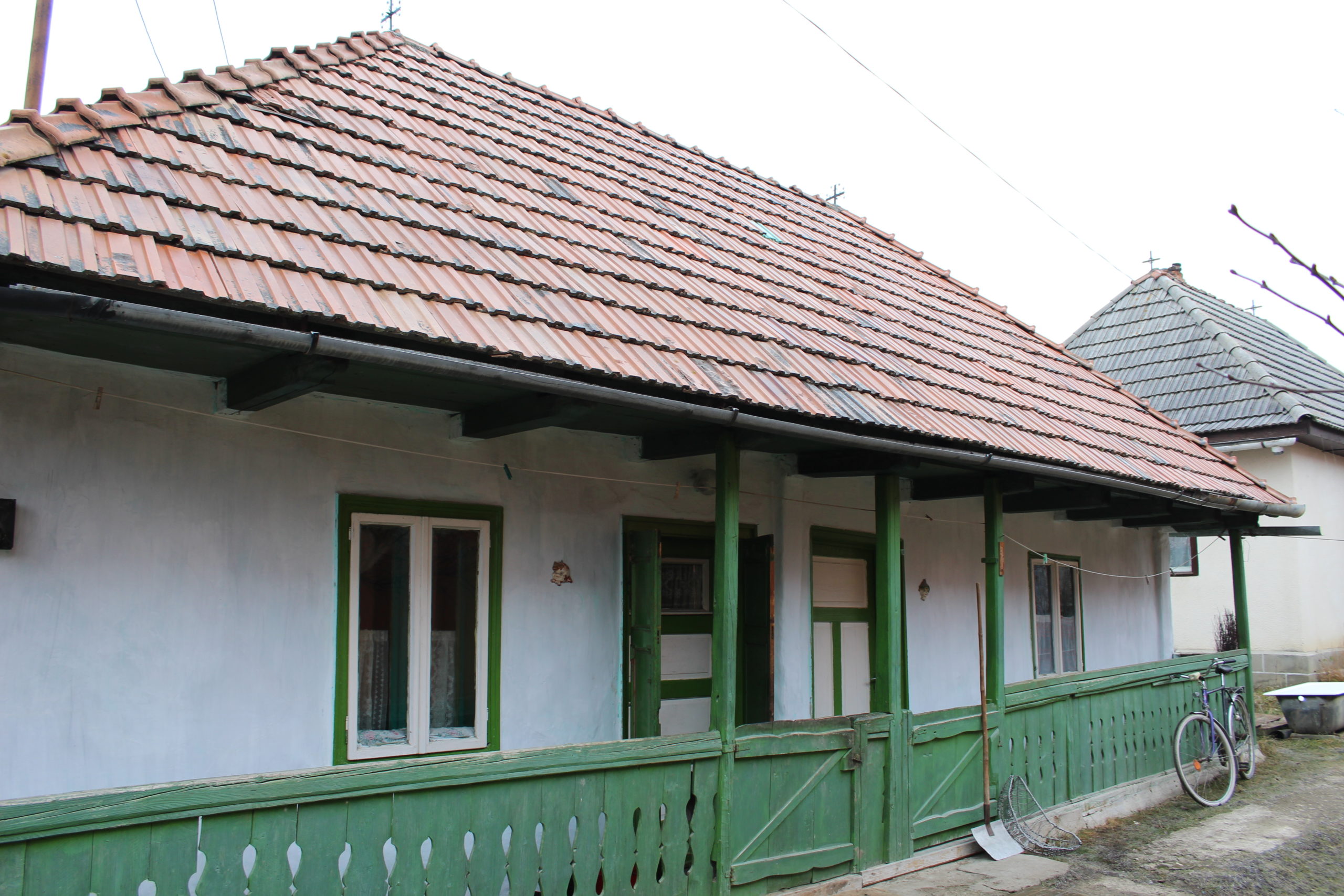
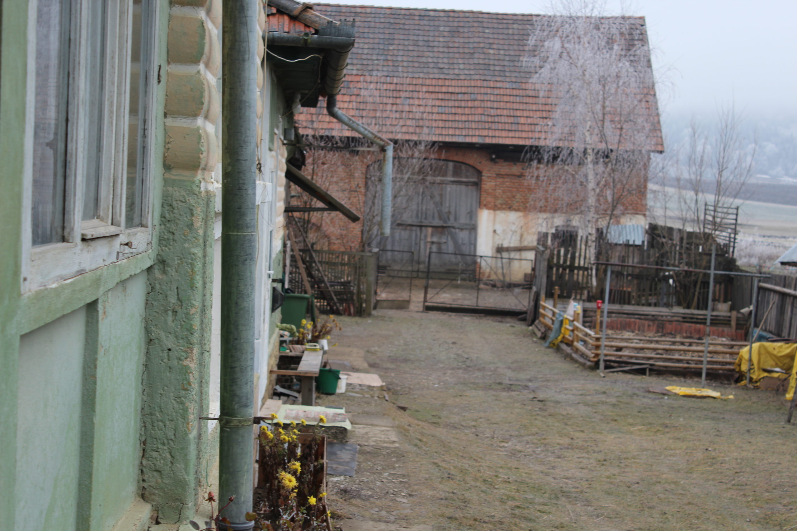
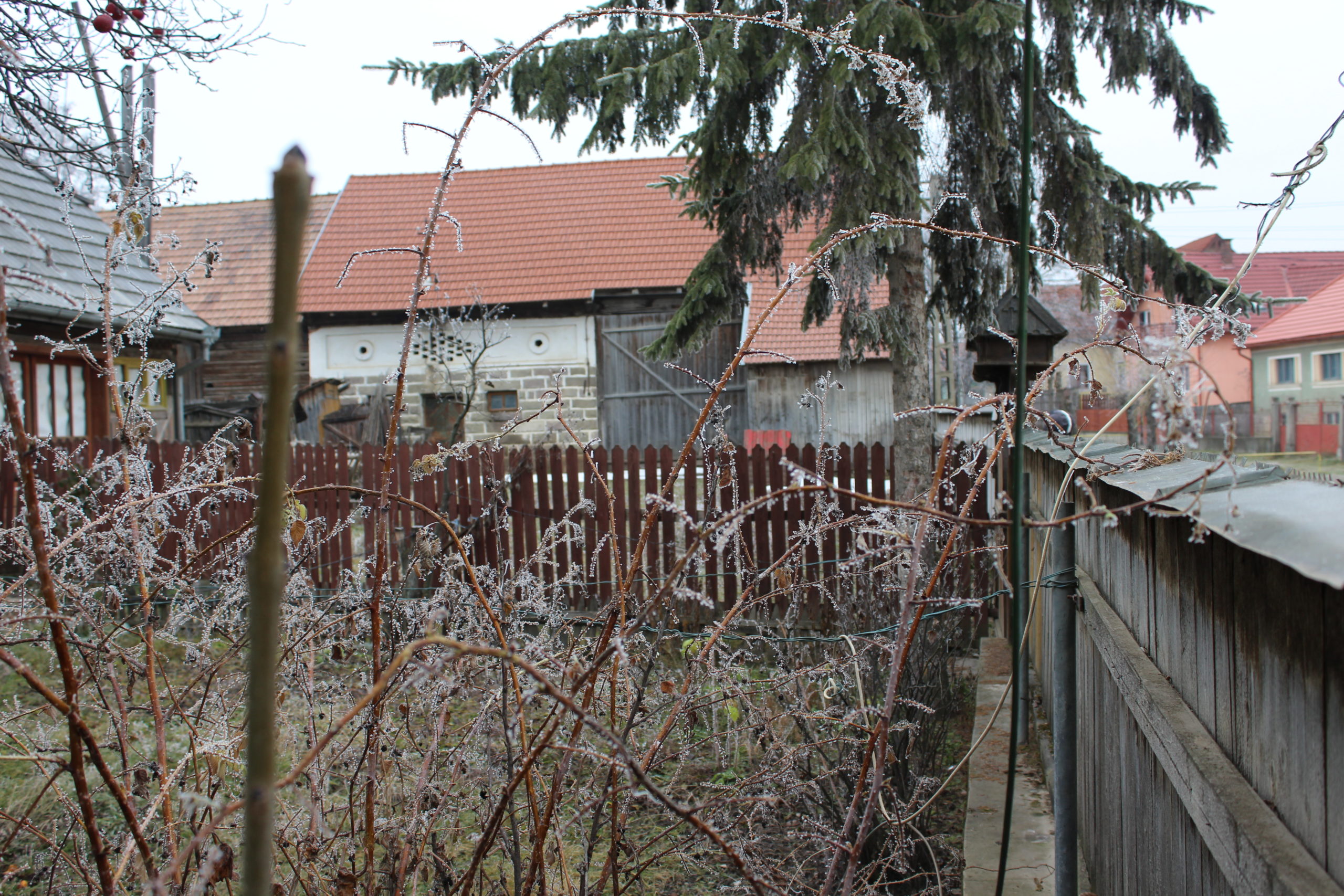
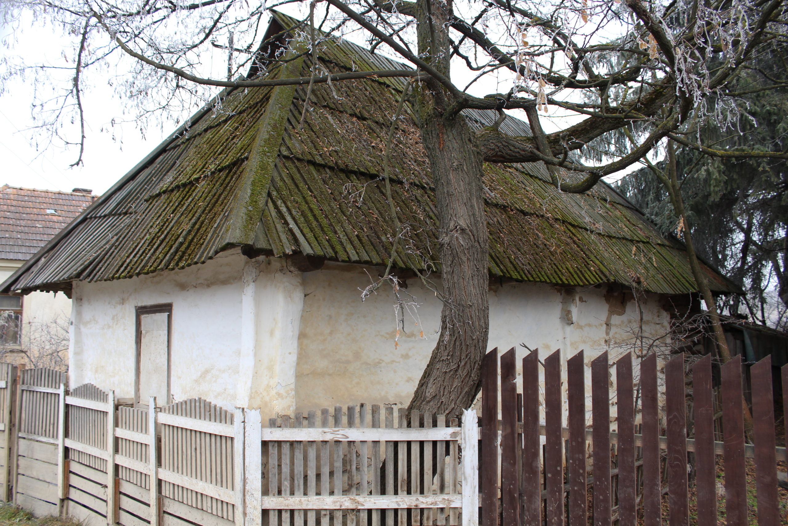
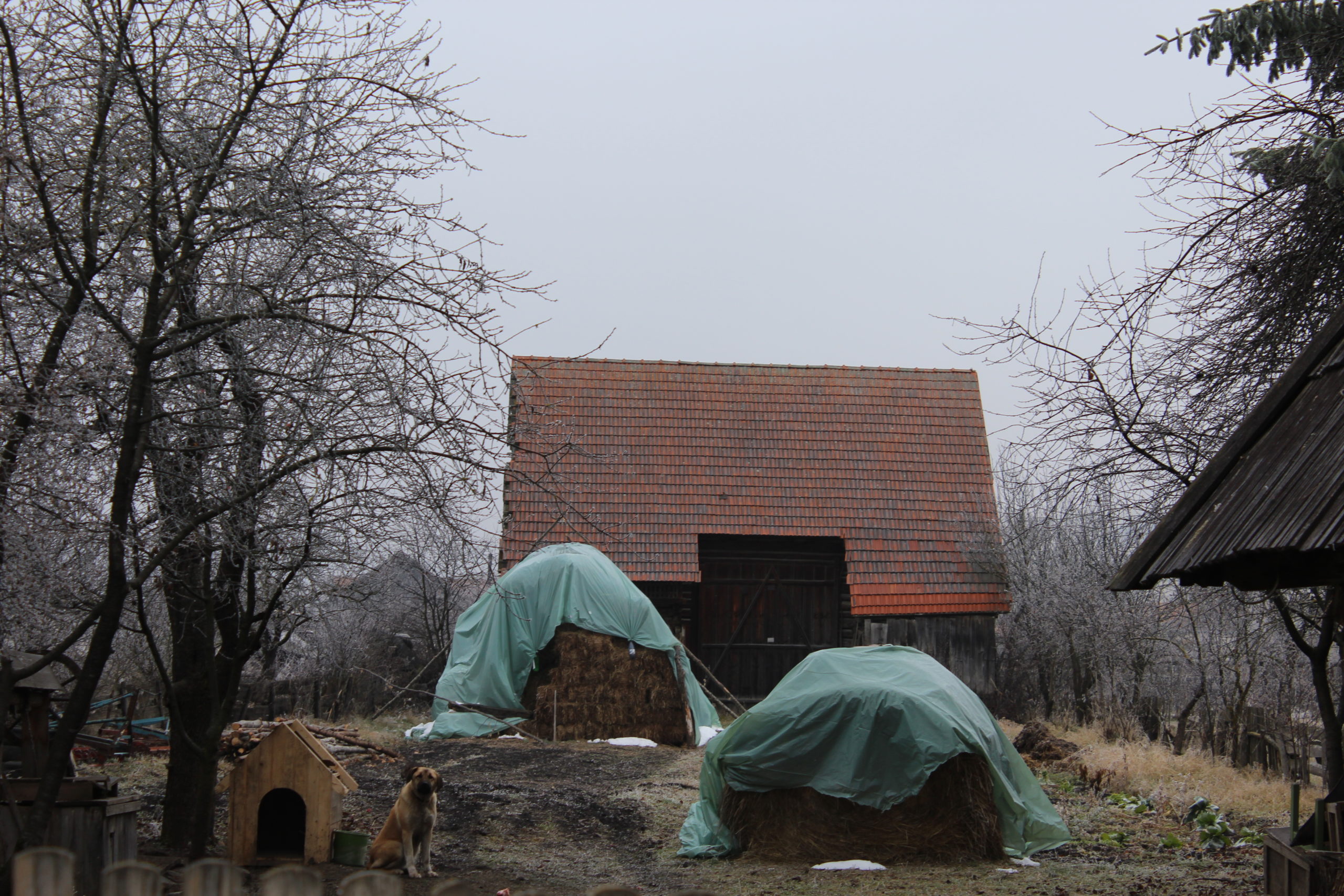
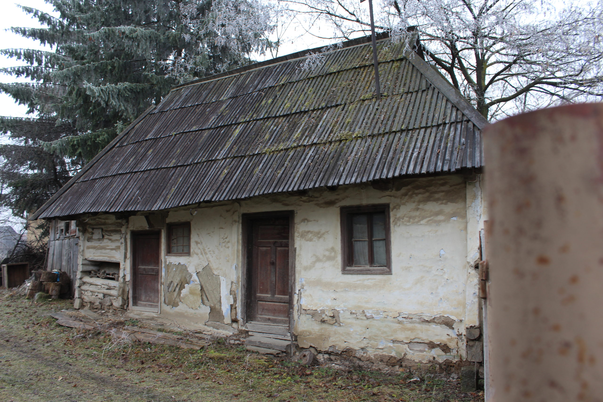
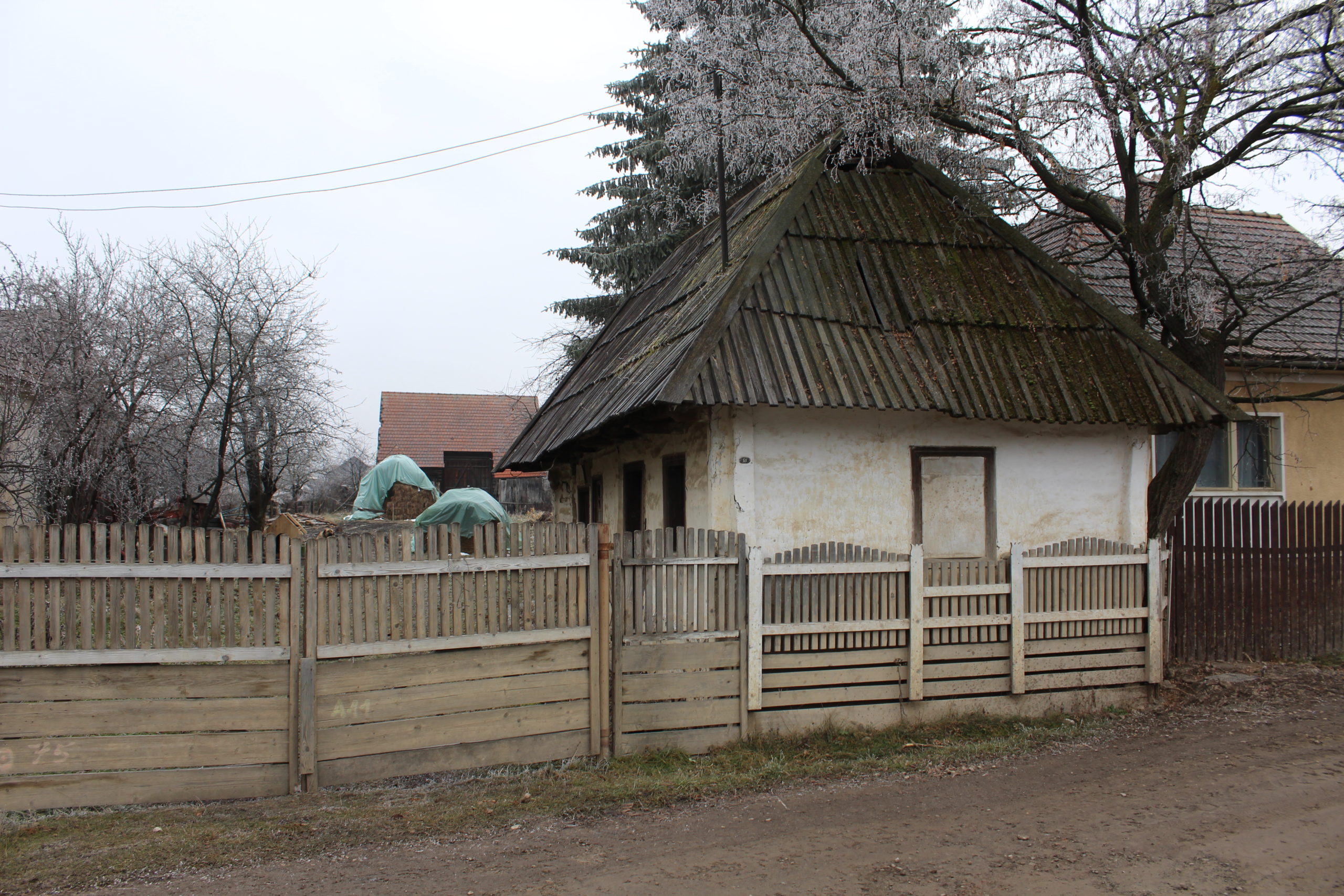
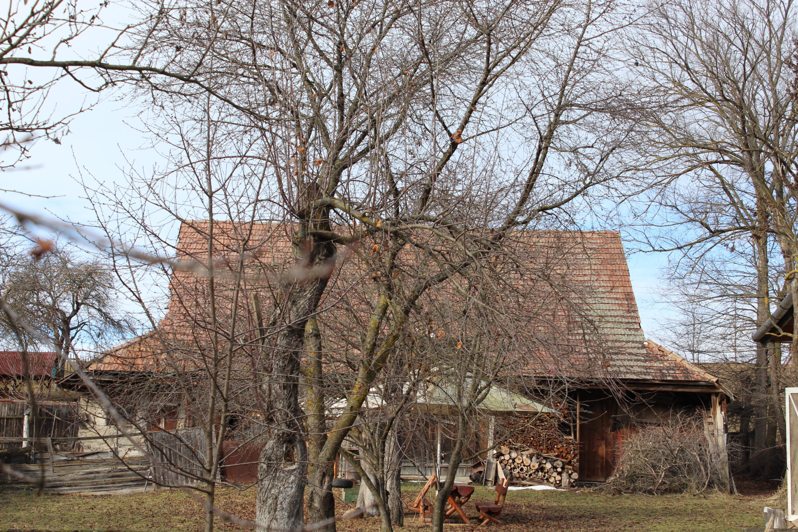
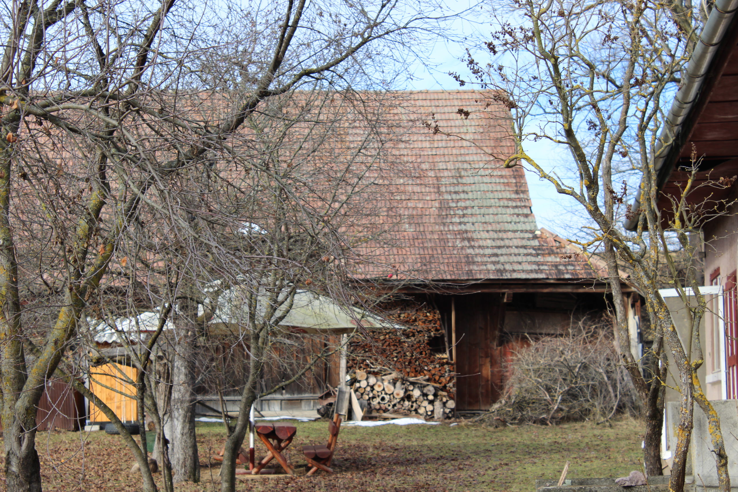
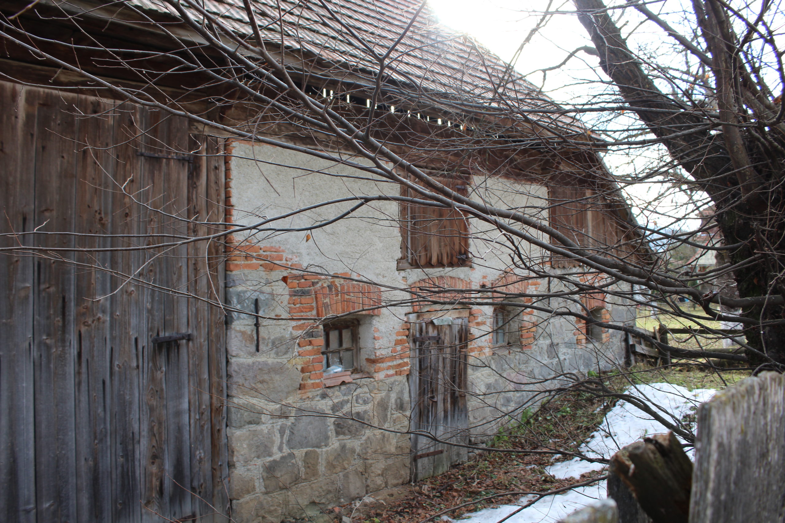
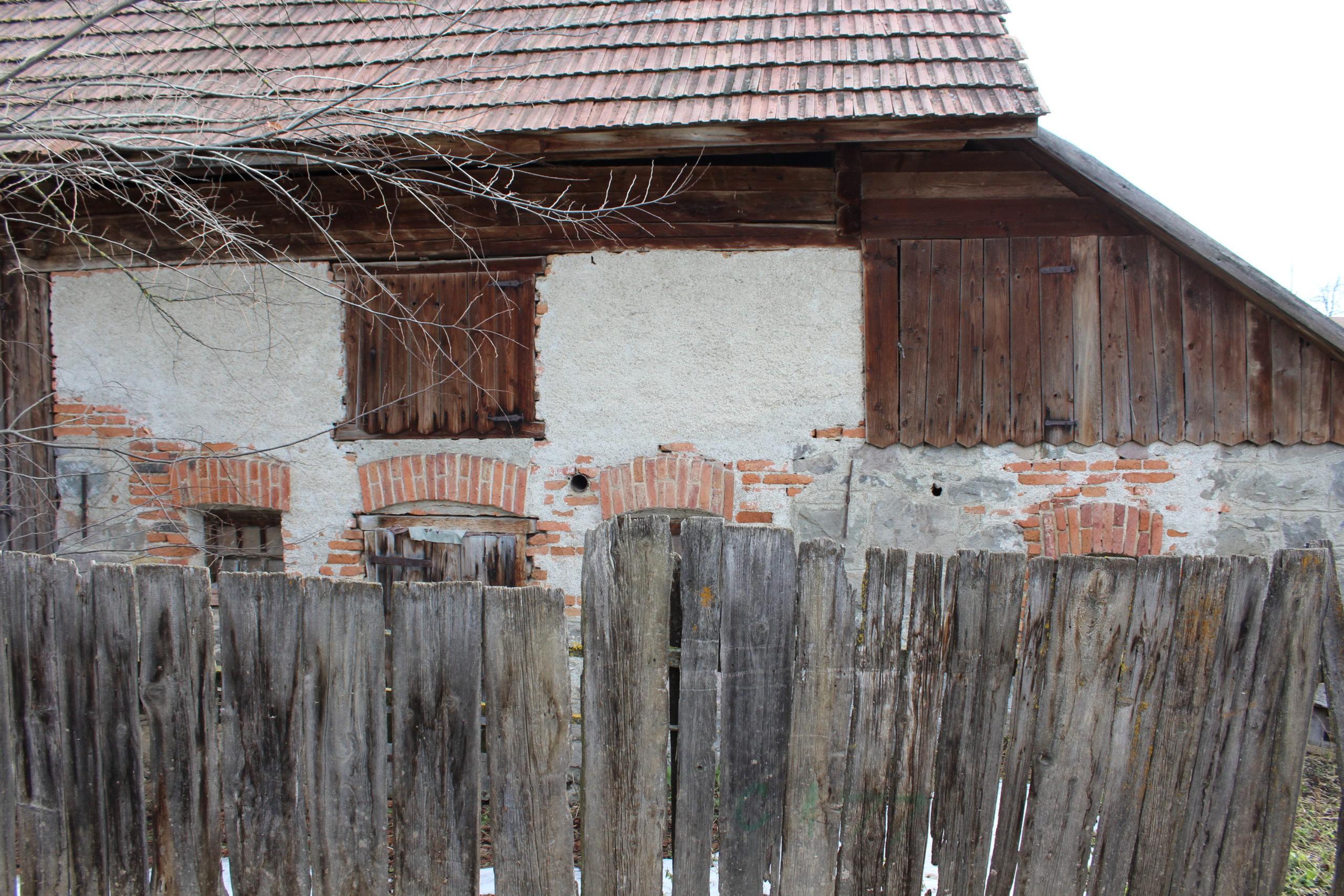
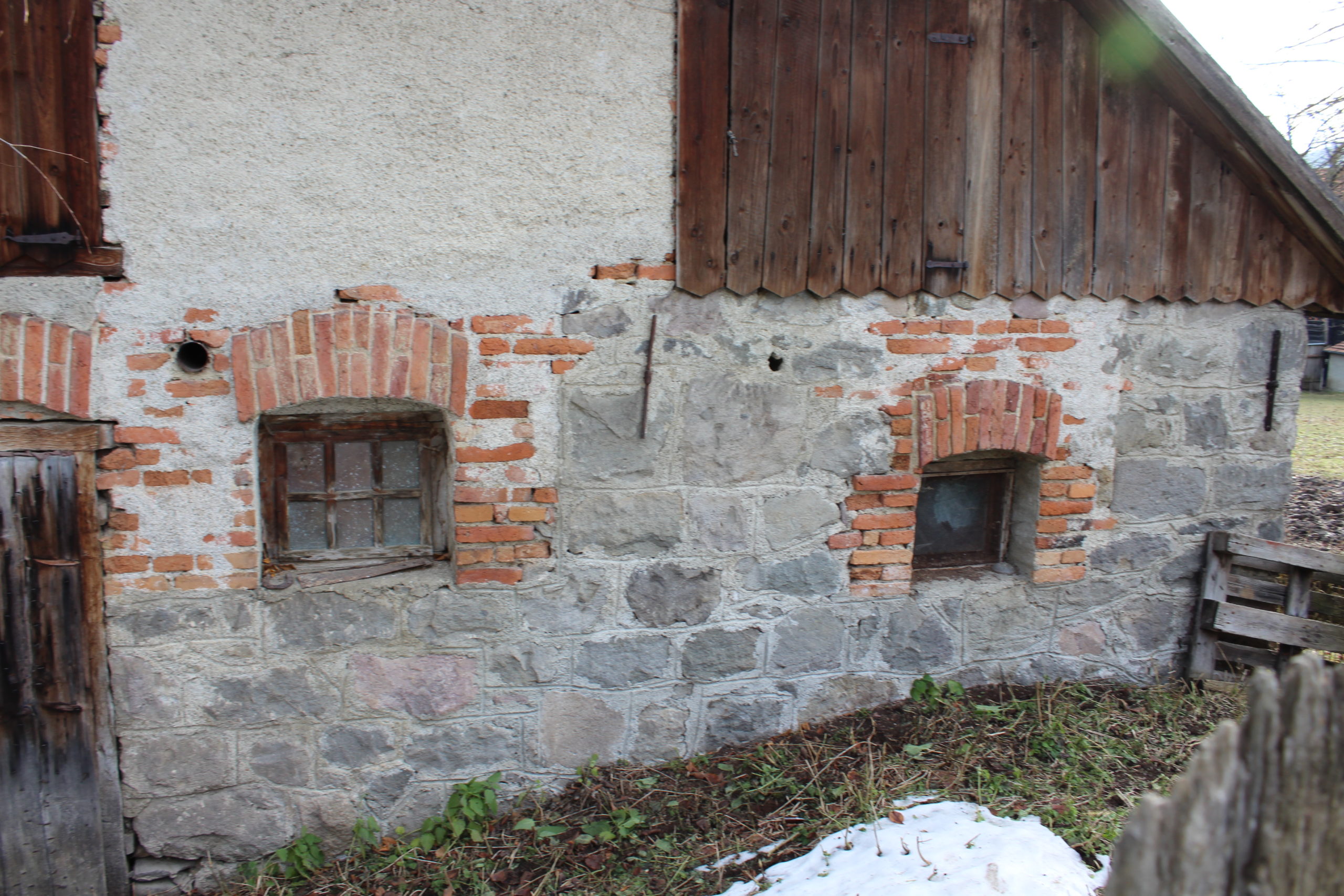
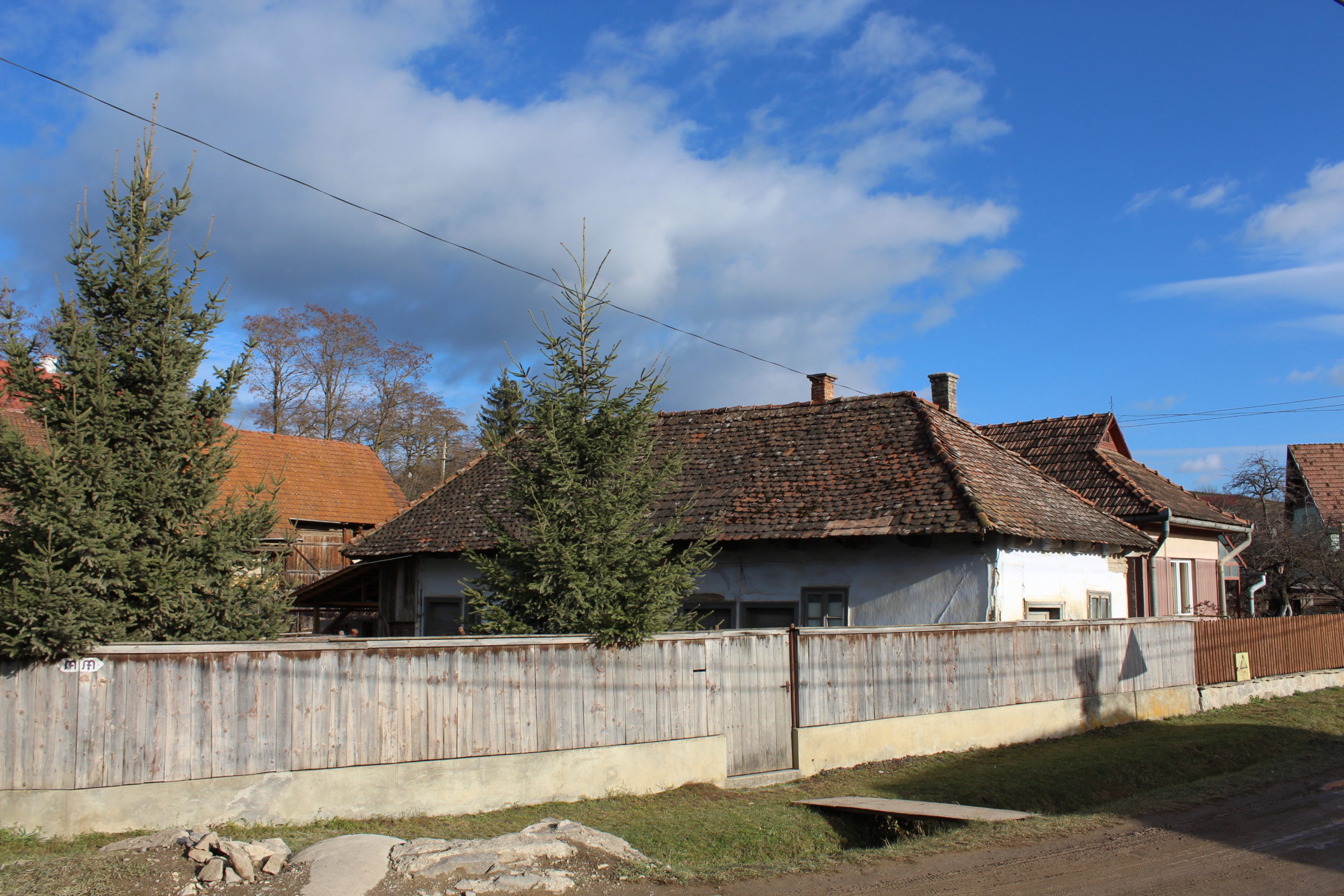
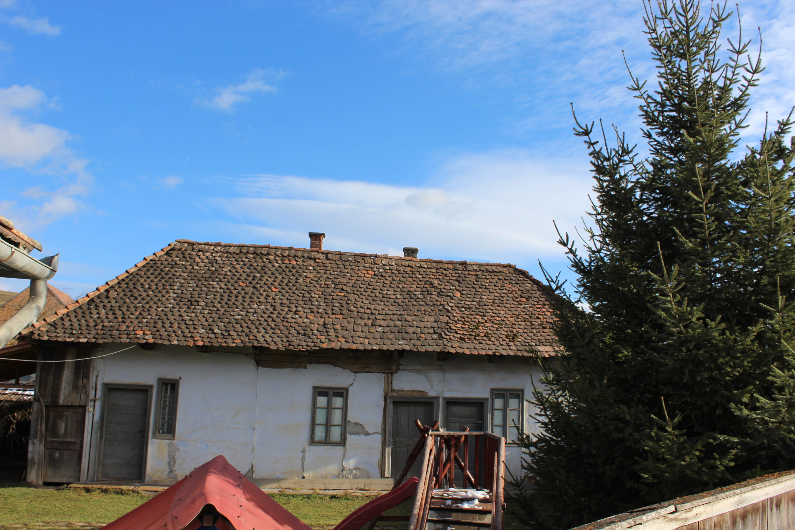
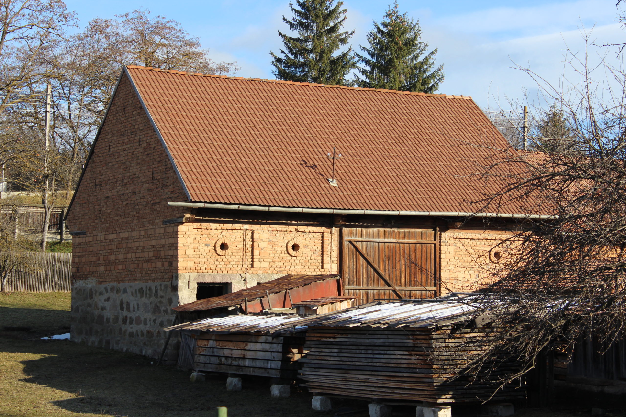
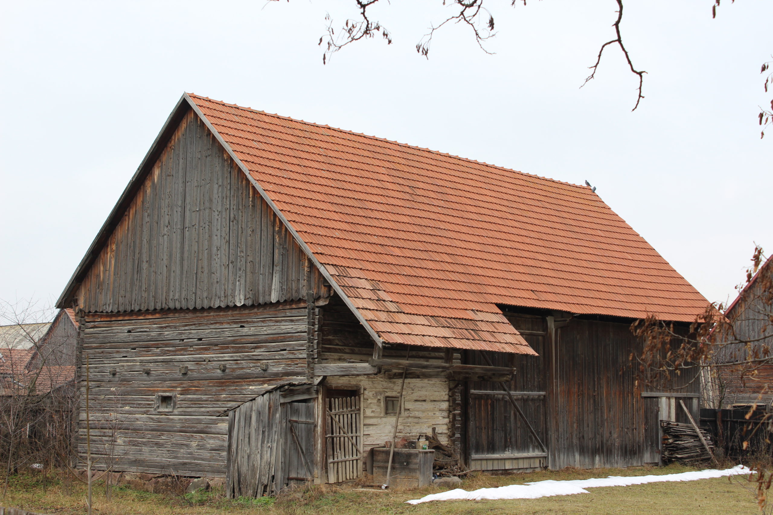
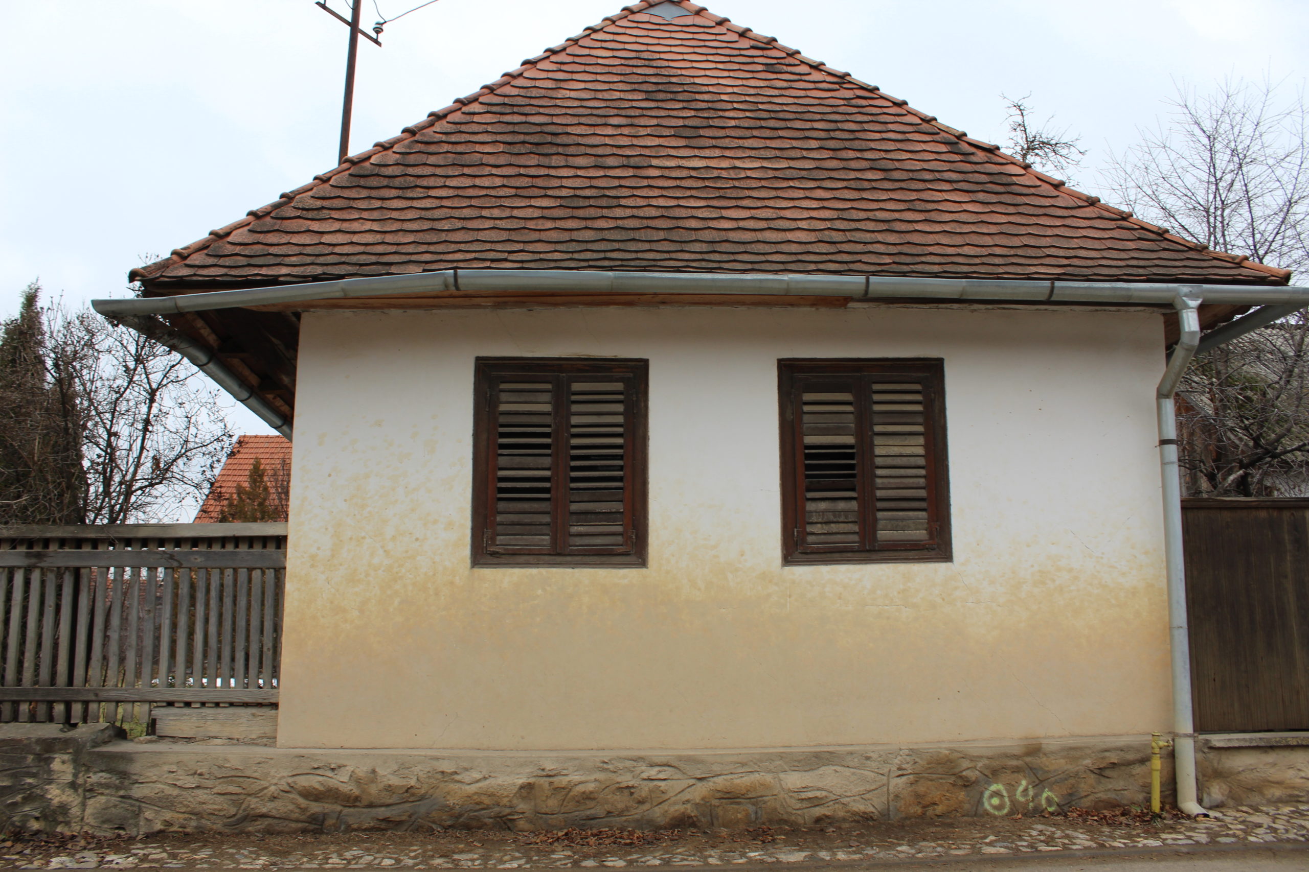
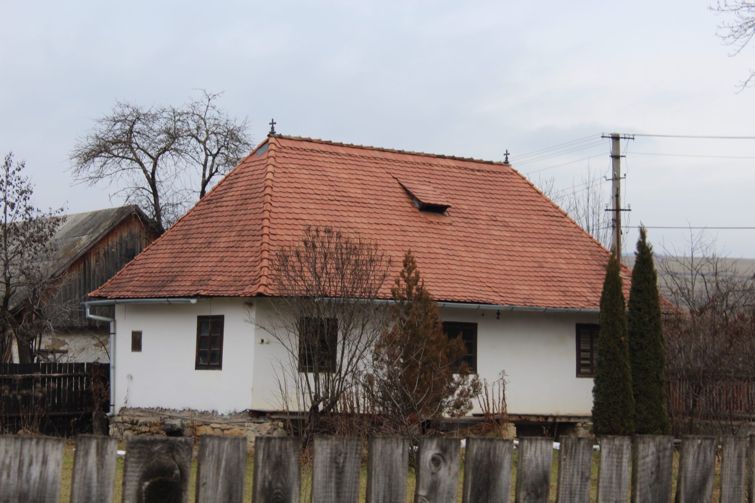
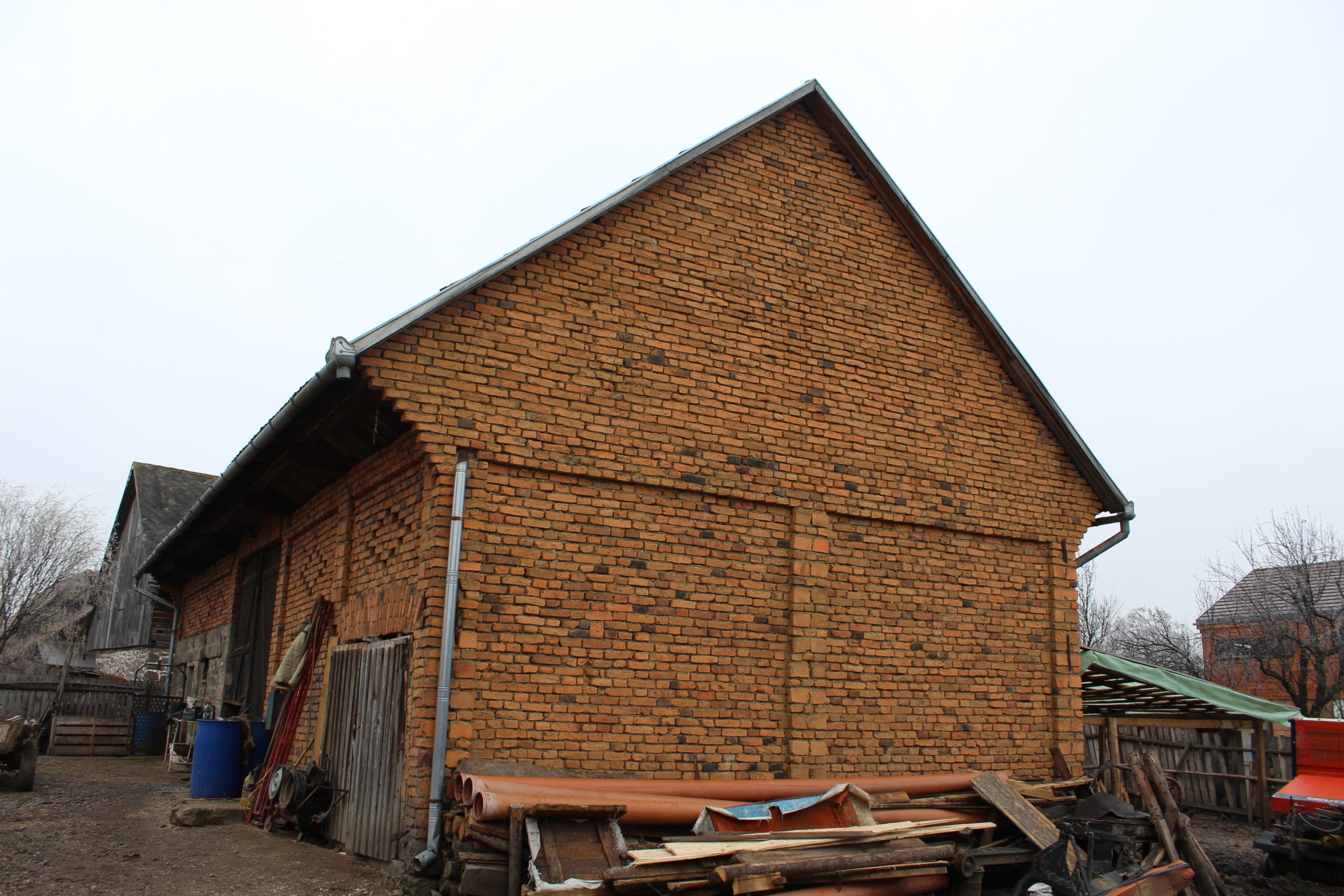
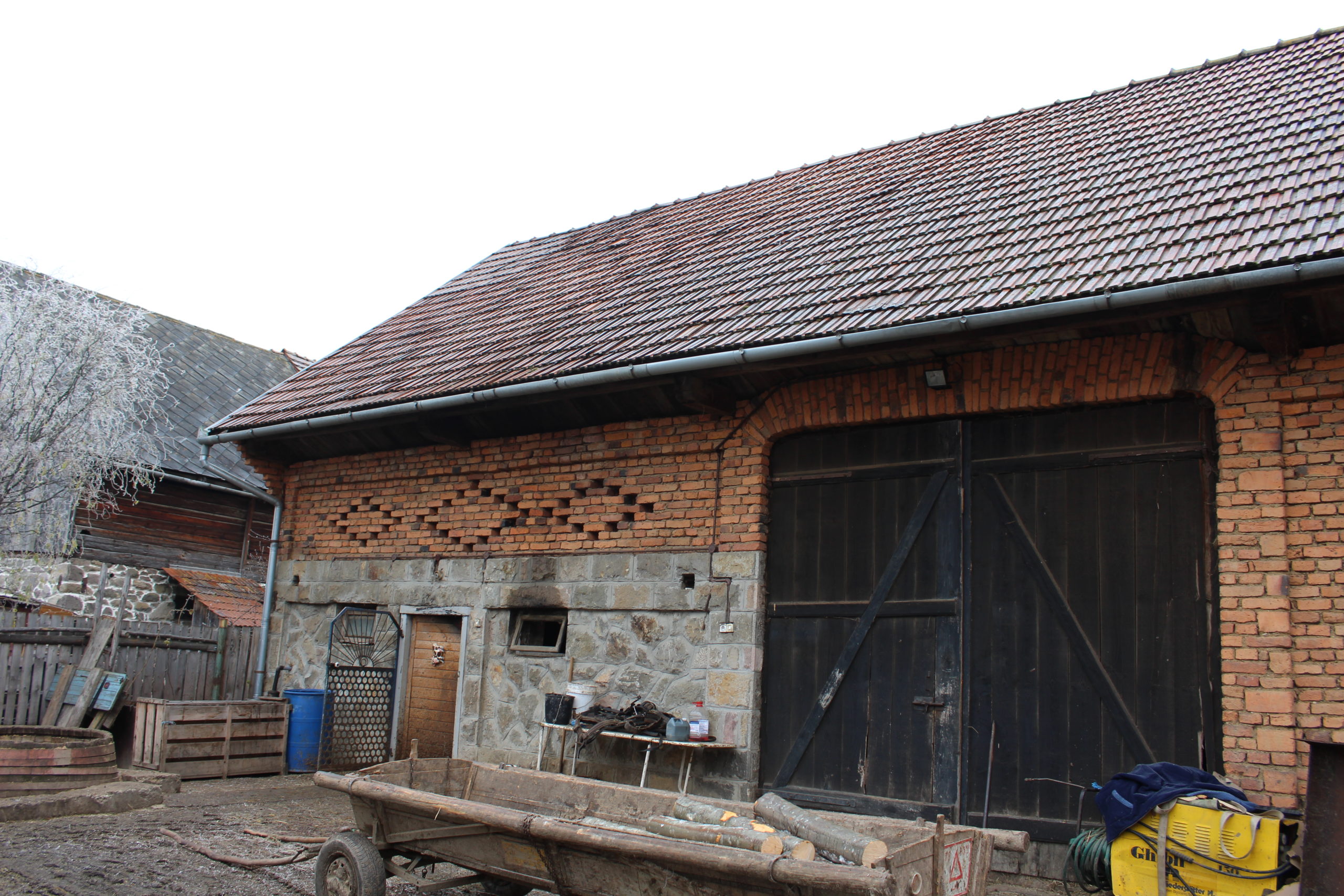
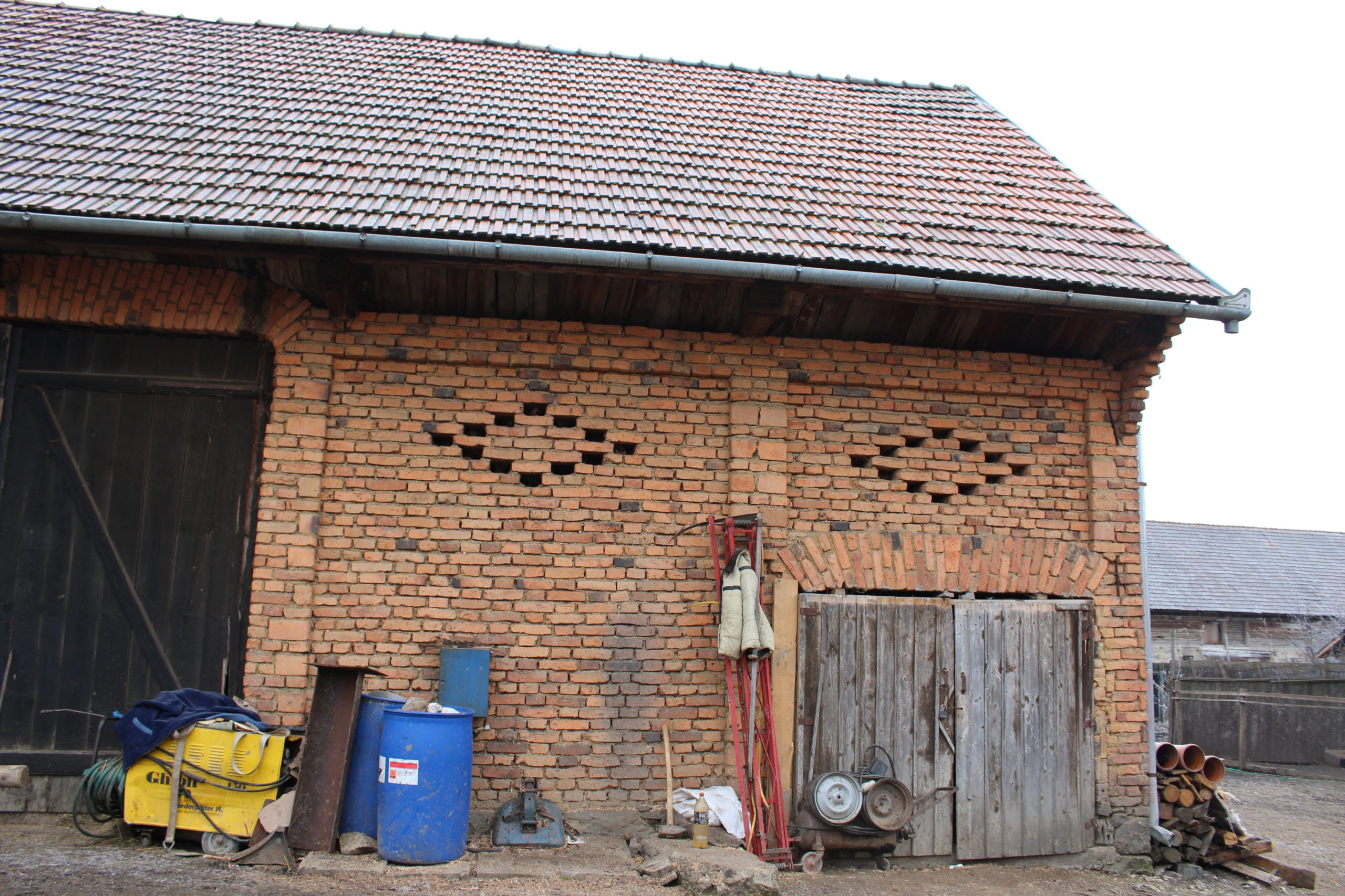
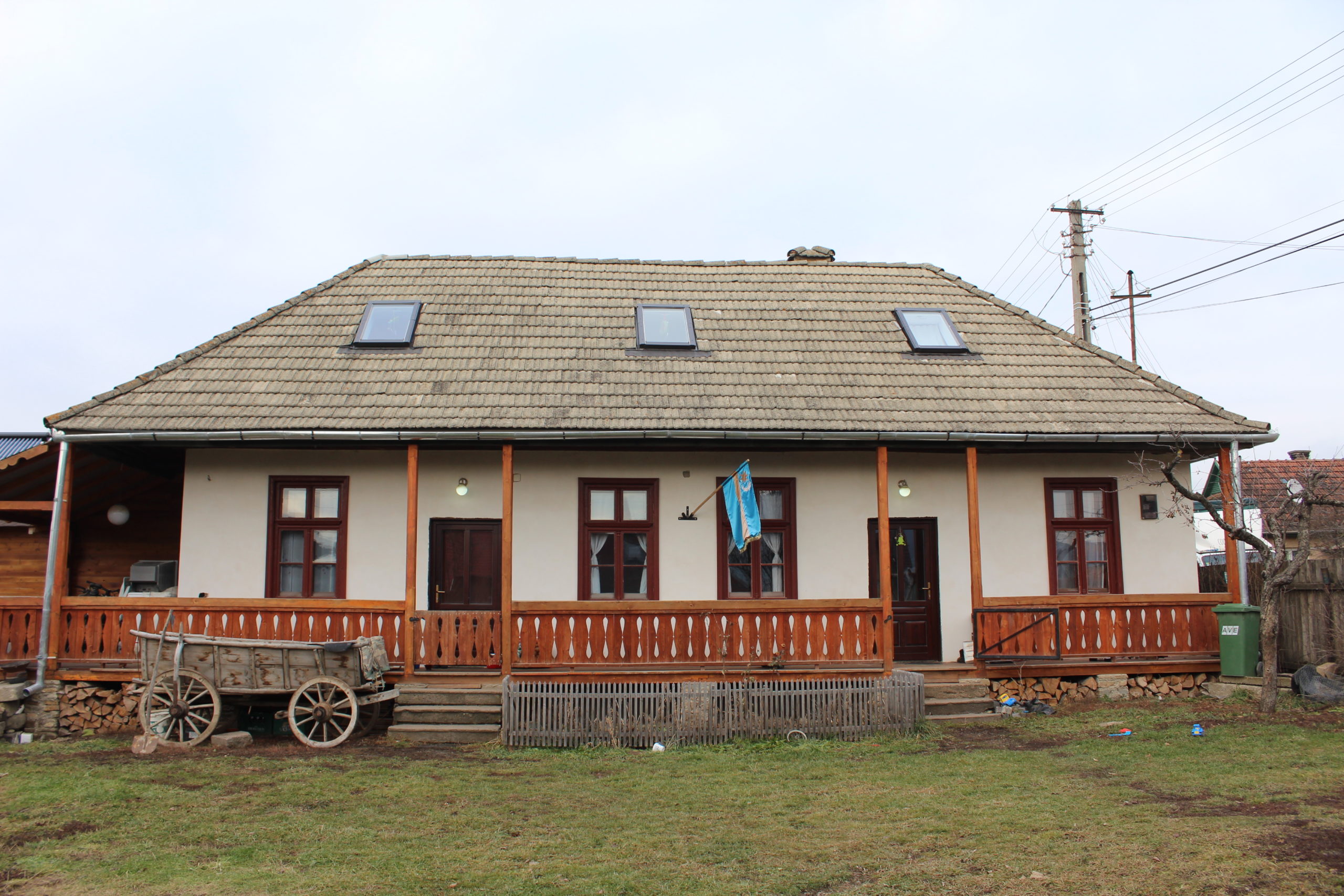
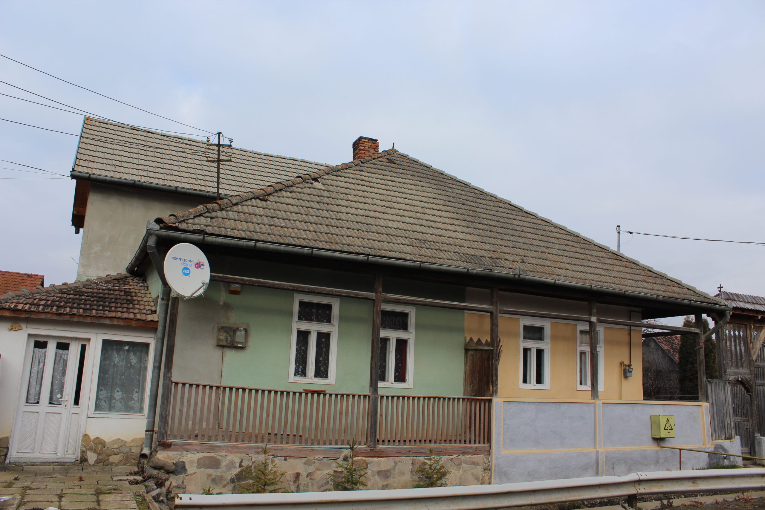
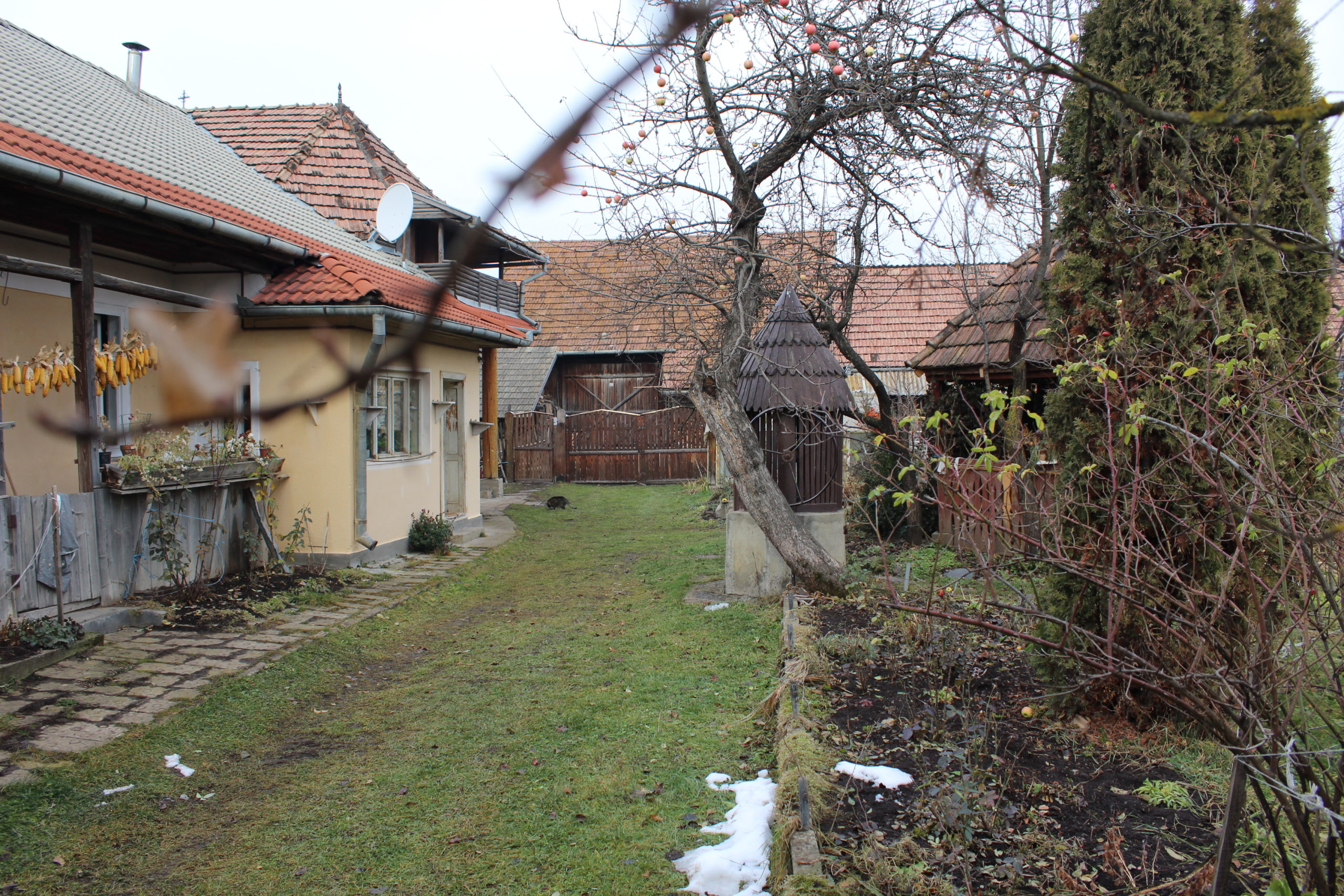
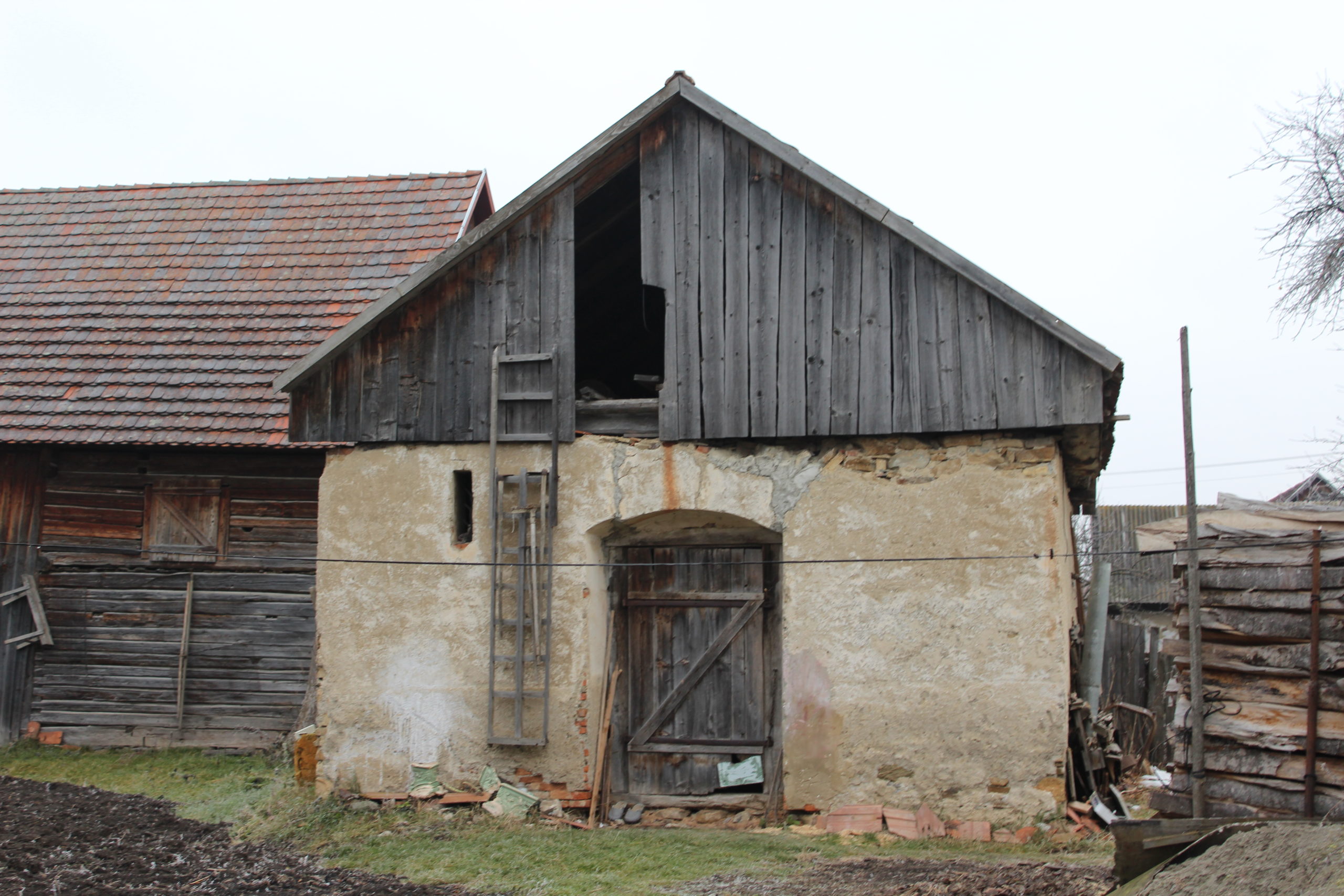
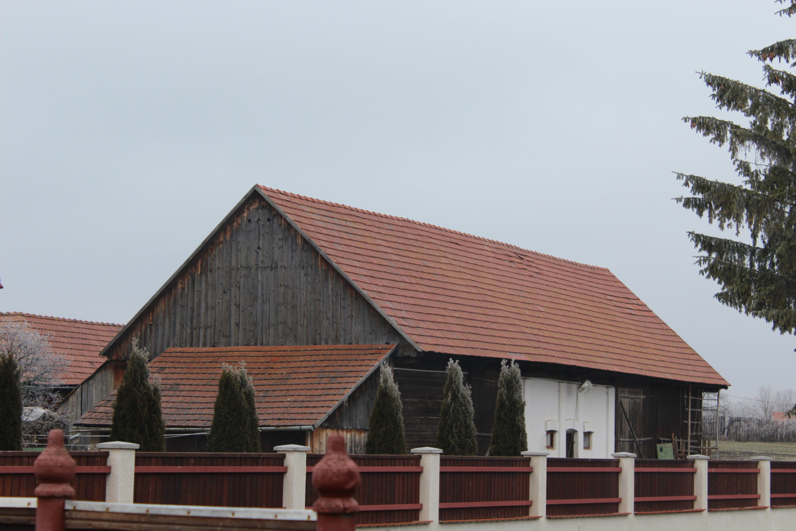
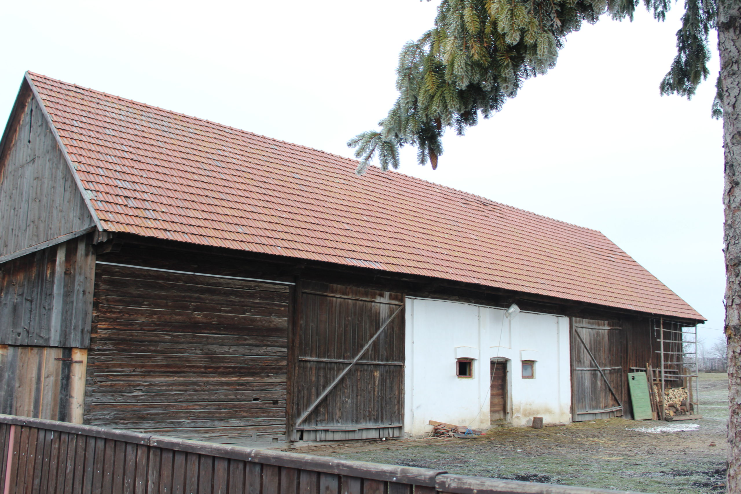
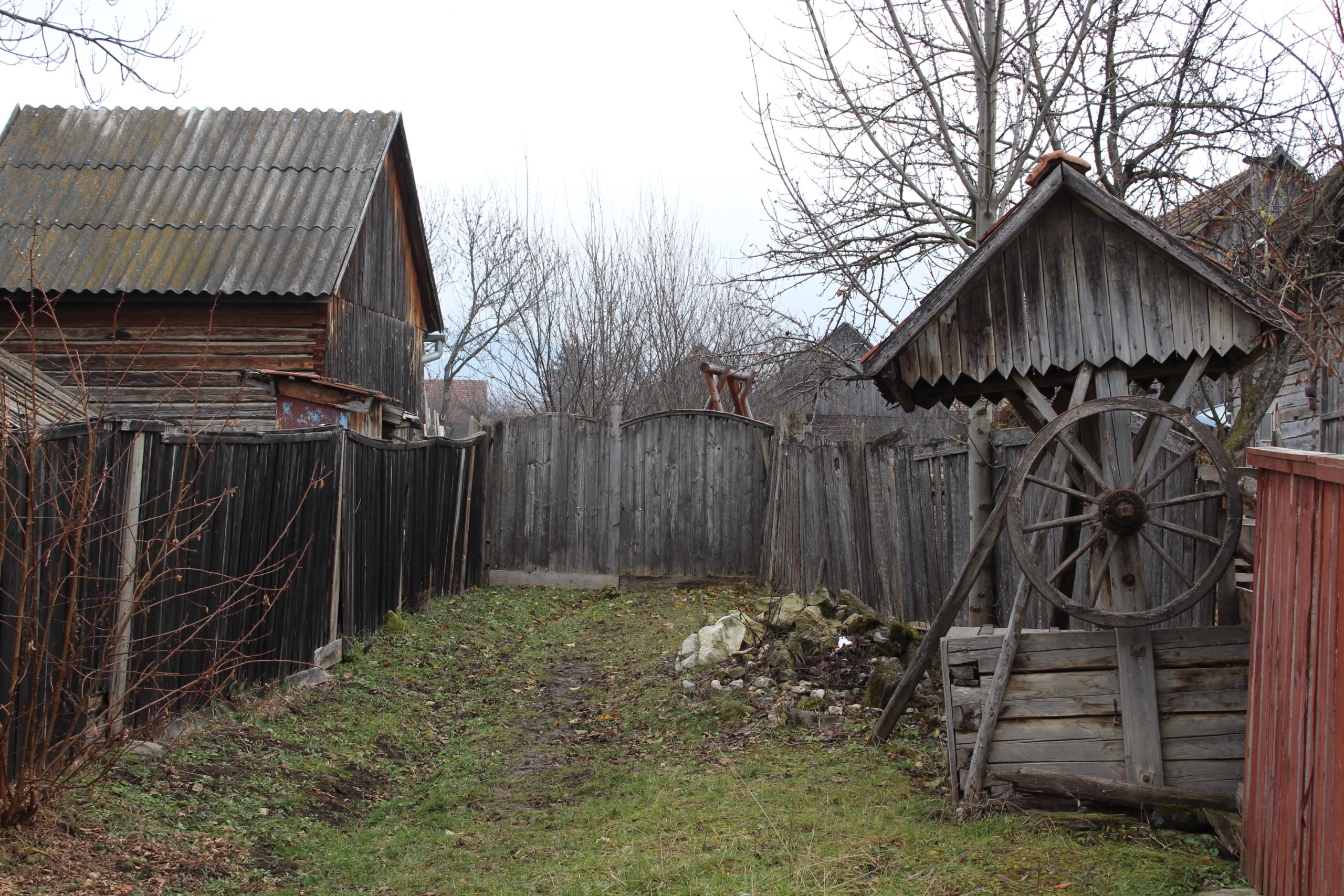
The placement of houses on the parcel is mostly street frontage. The barn is set transversely, dividing the yard into two sections. Other farm buildings are located in the setback of the house or on the street frontage, especially the oven (summer kitchen).
Documents
Written pieces
Mapping sheets
- Települési értékelő | Fișa de cartare
- Templom | Biserică
- Művelődési ház | Casa de cultură
- 5. – porta | gospodărie
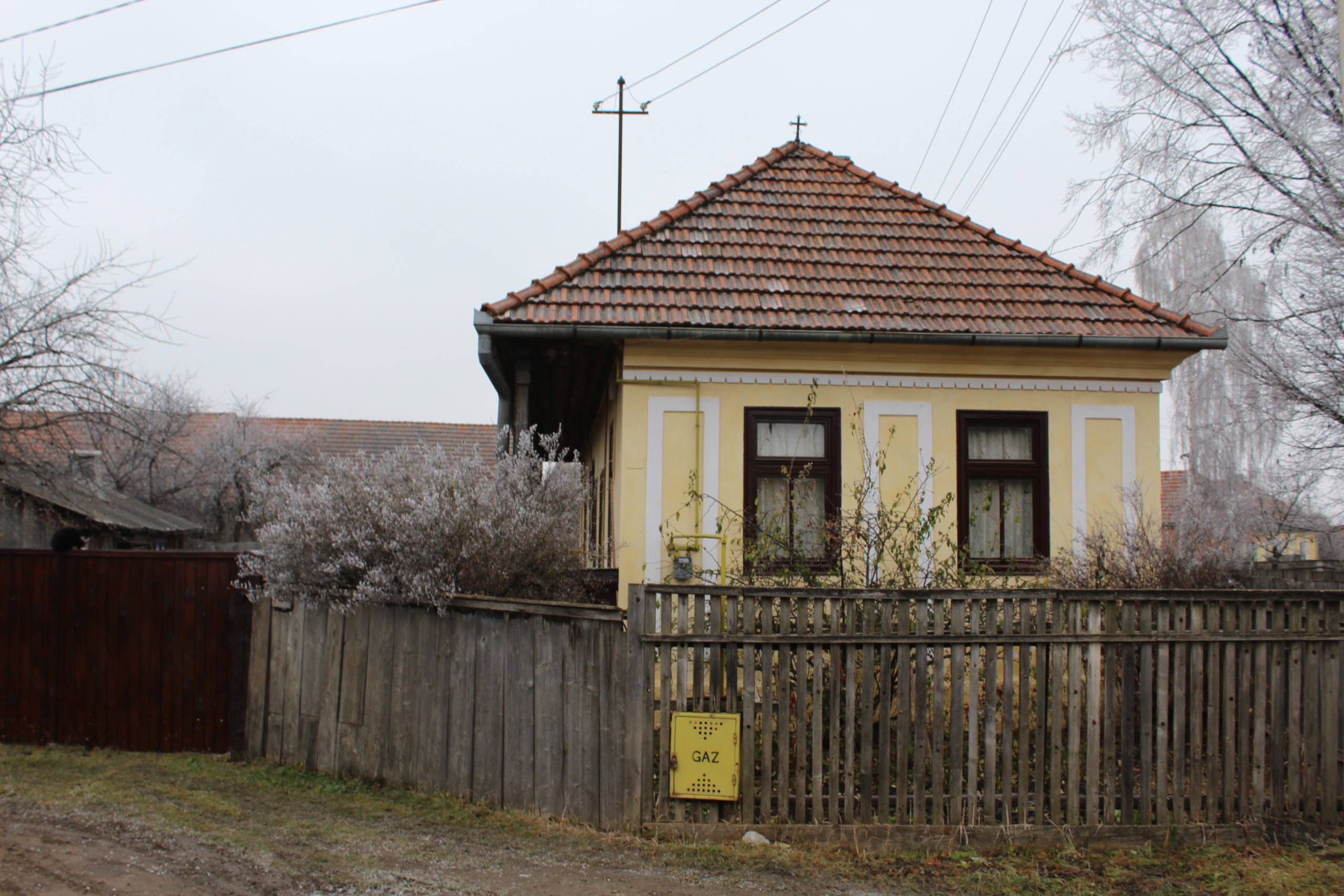
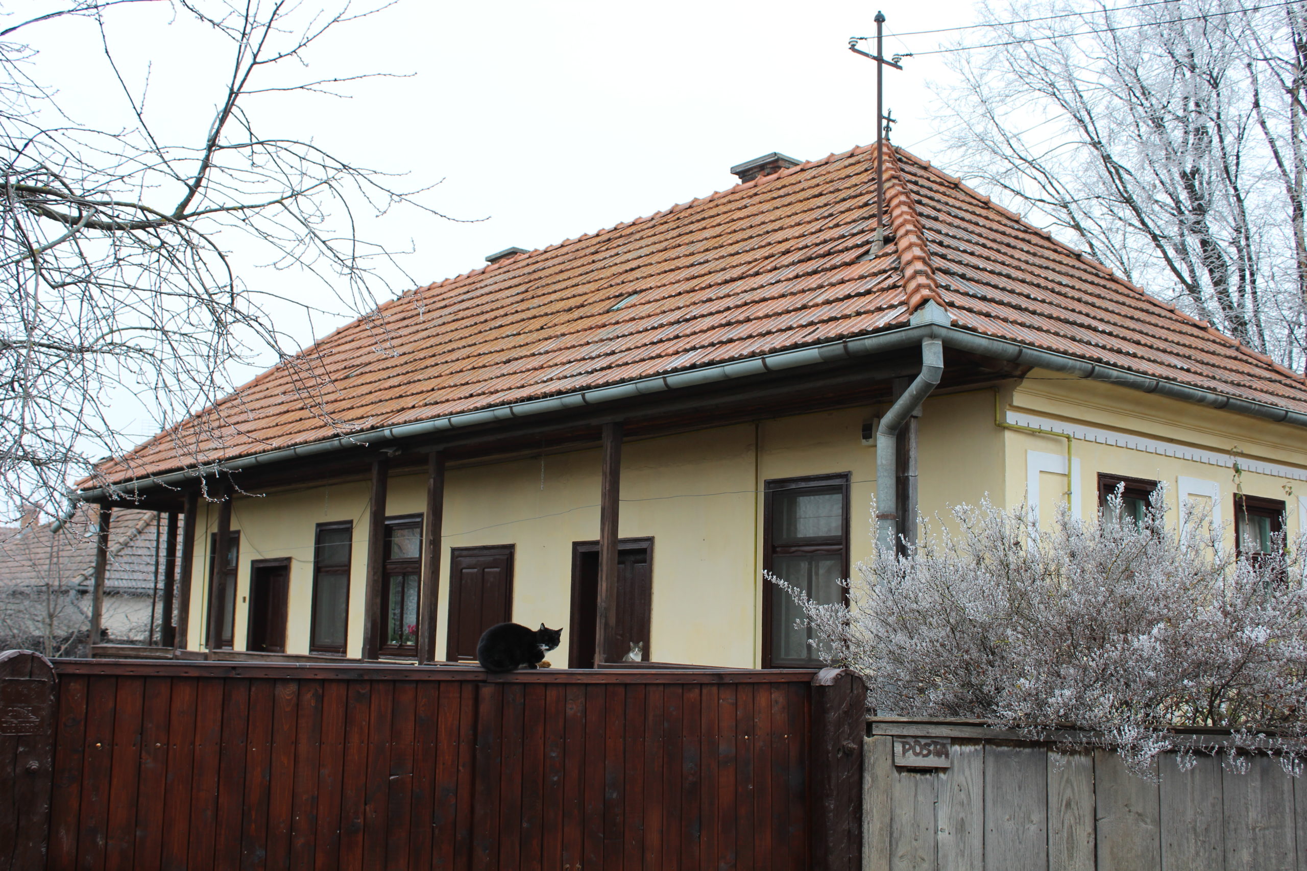
- 6. – lakóház | casă de locuit
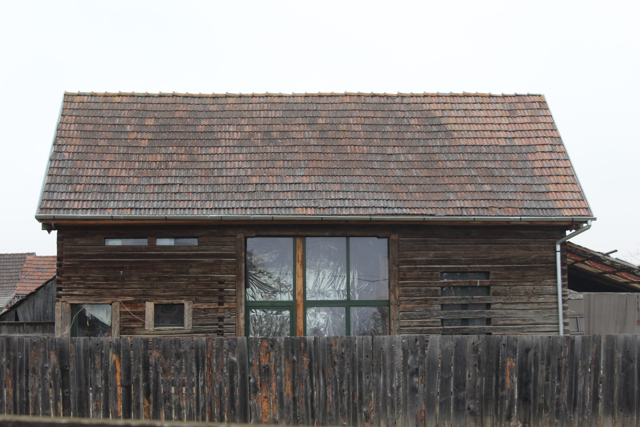
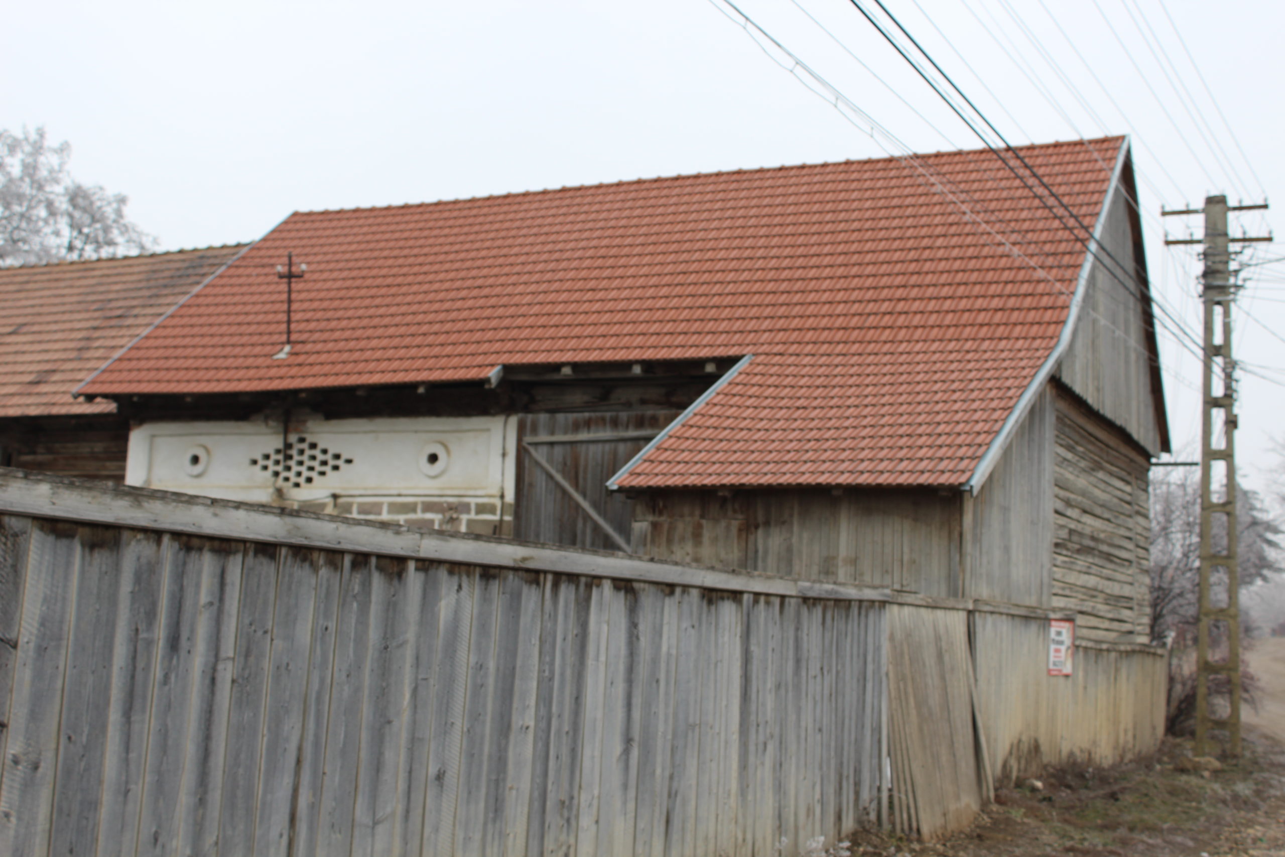
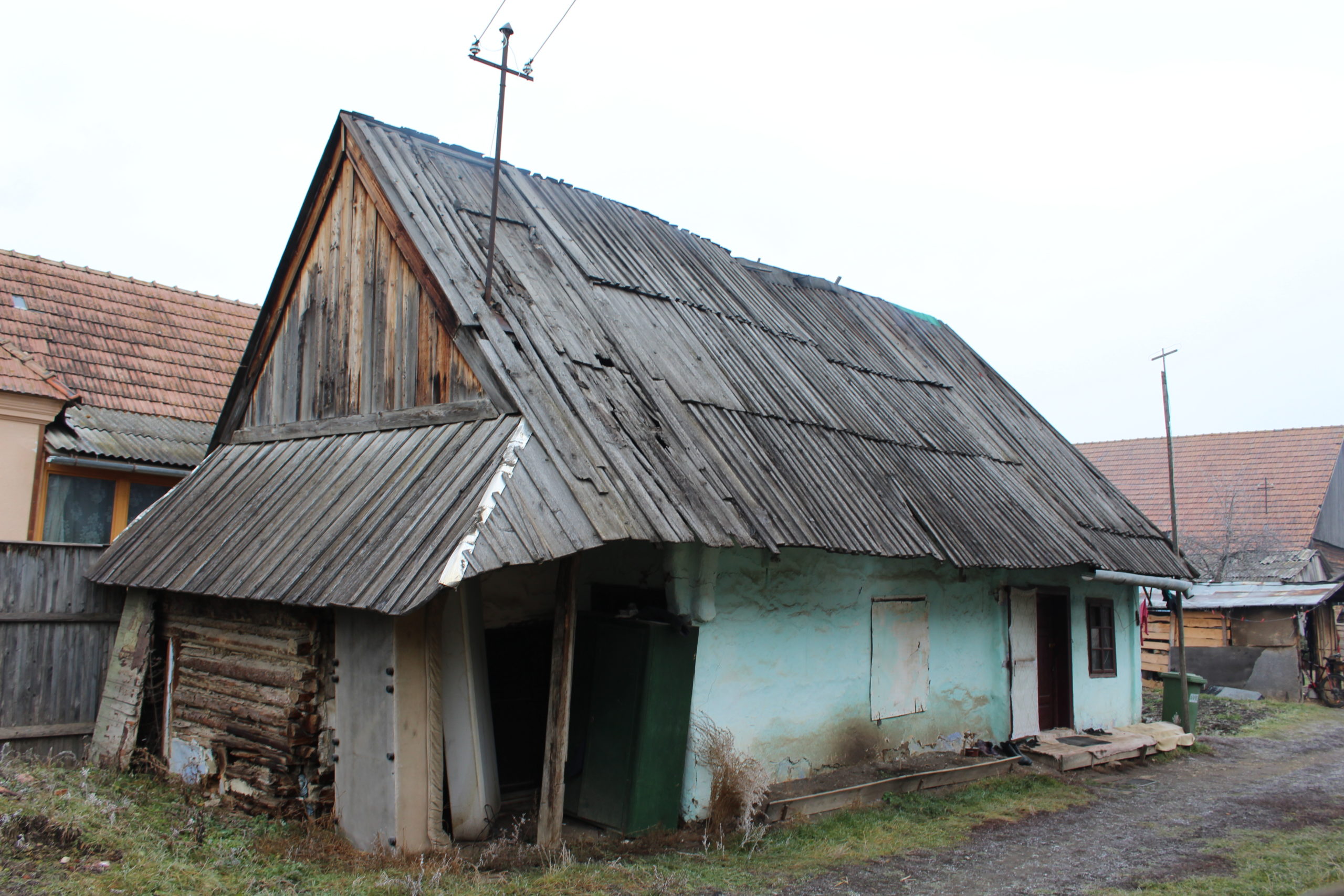
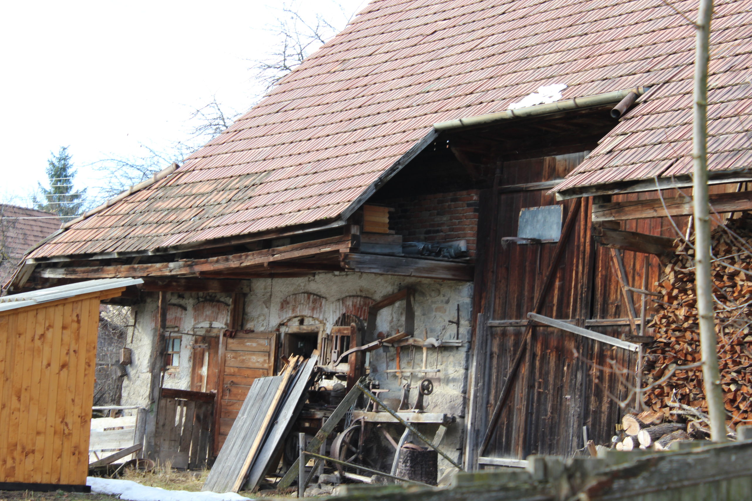
- 39. – csűr | șură
- 40. – lakóház | casă de locuit
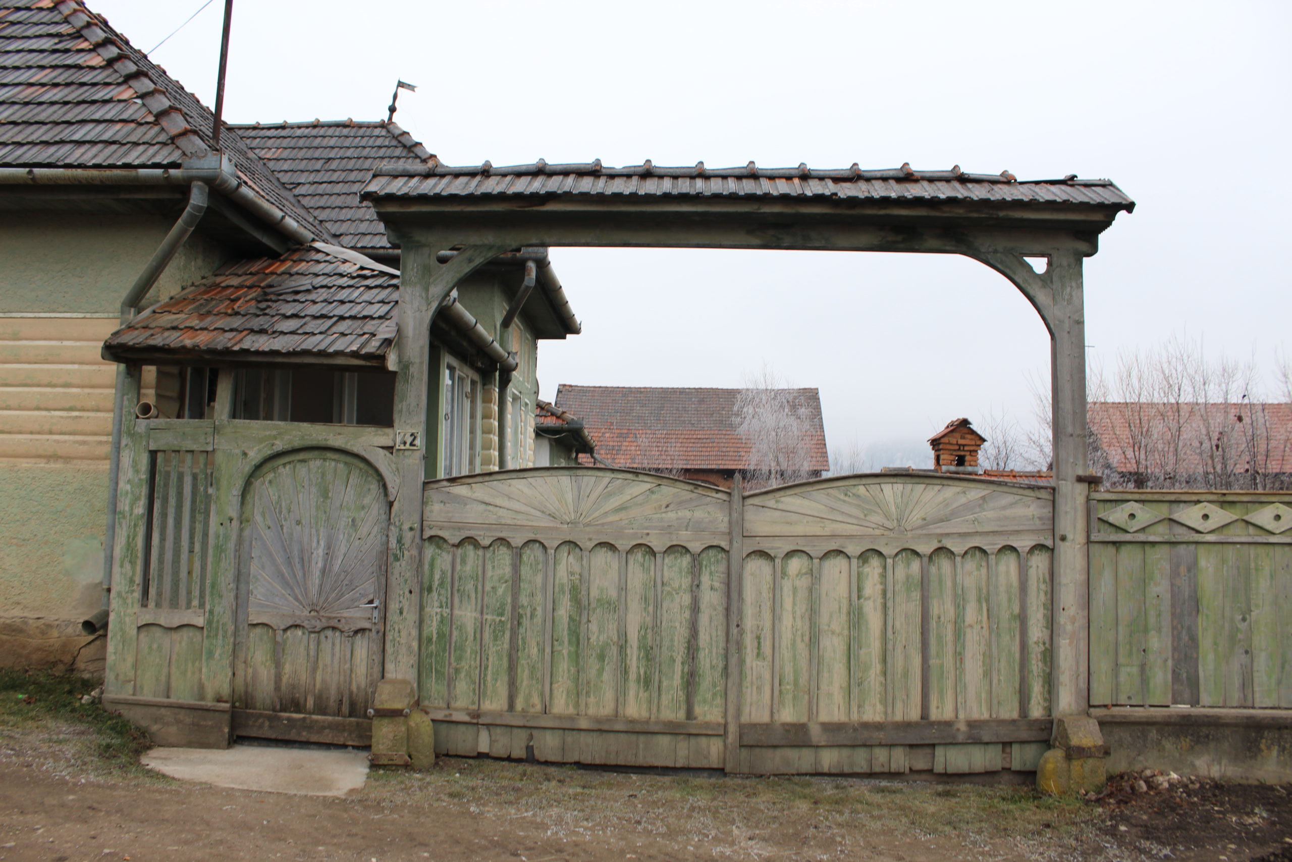
- 42. – kapu | poartă
- 42. – csűr | șură
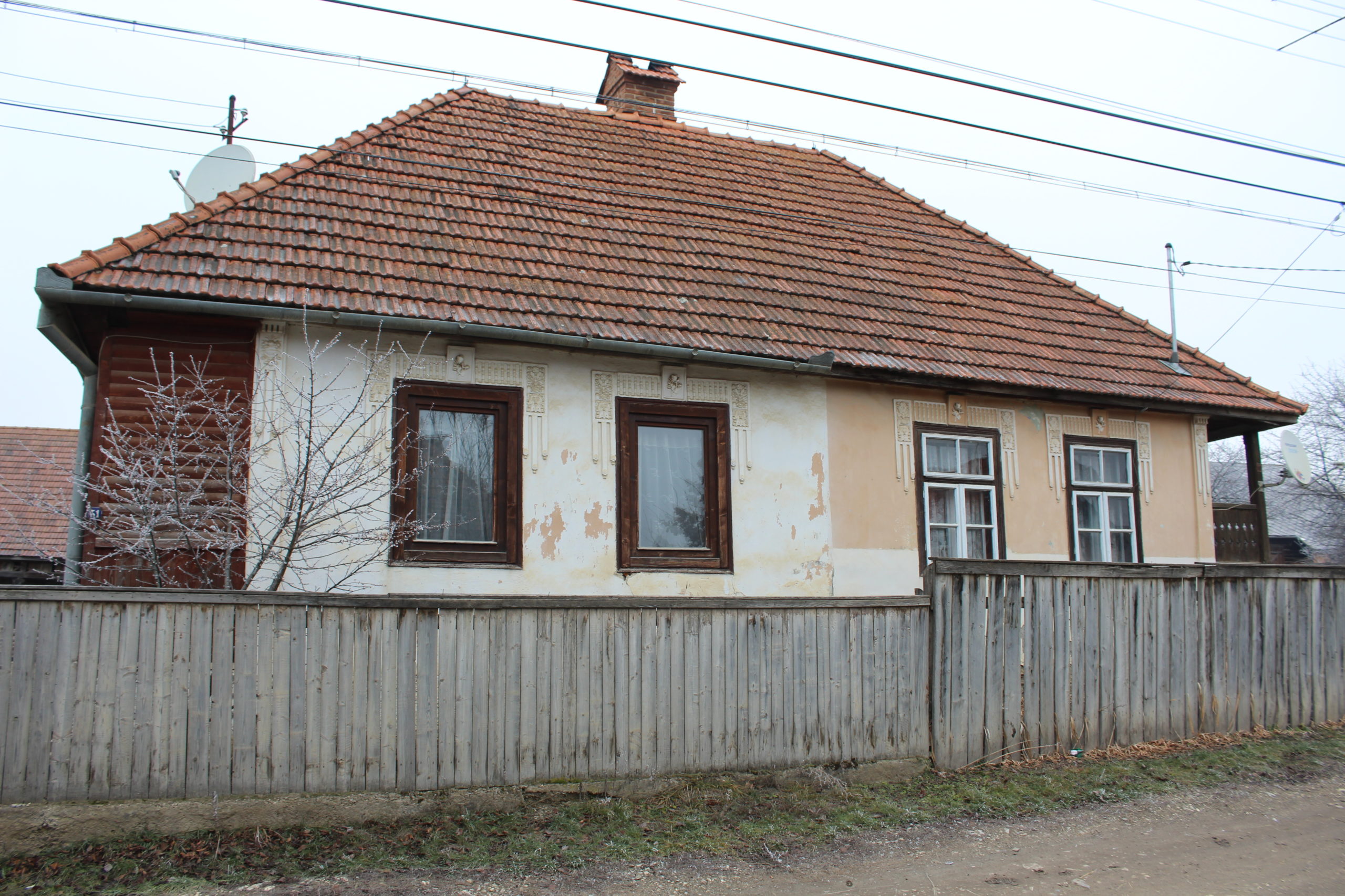
- 51. – lakóház | casă de locuit
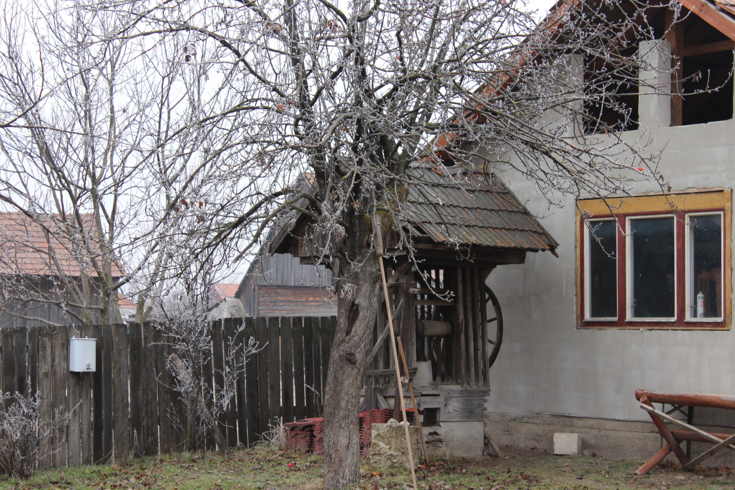
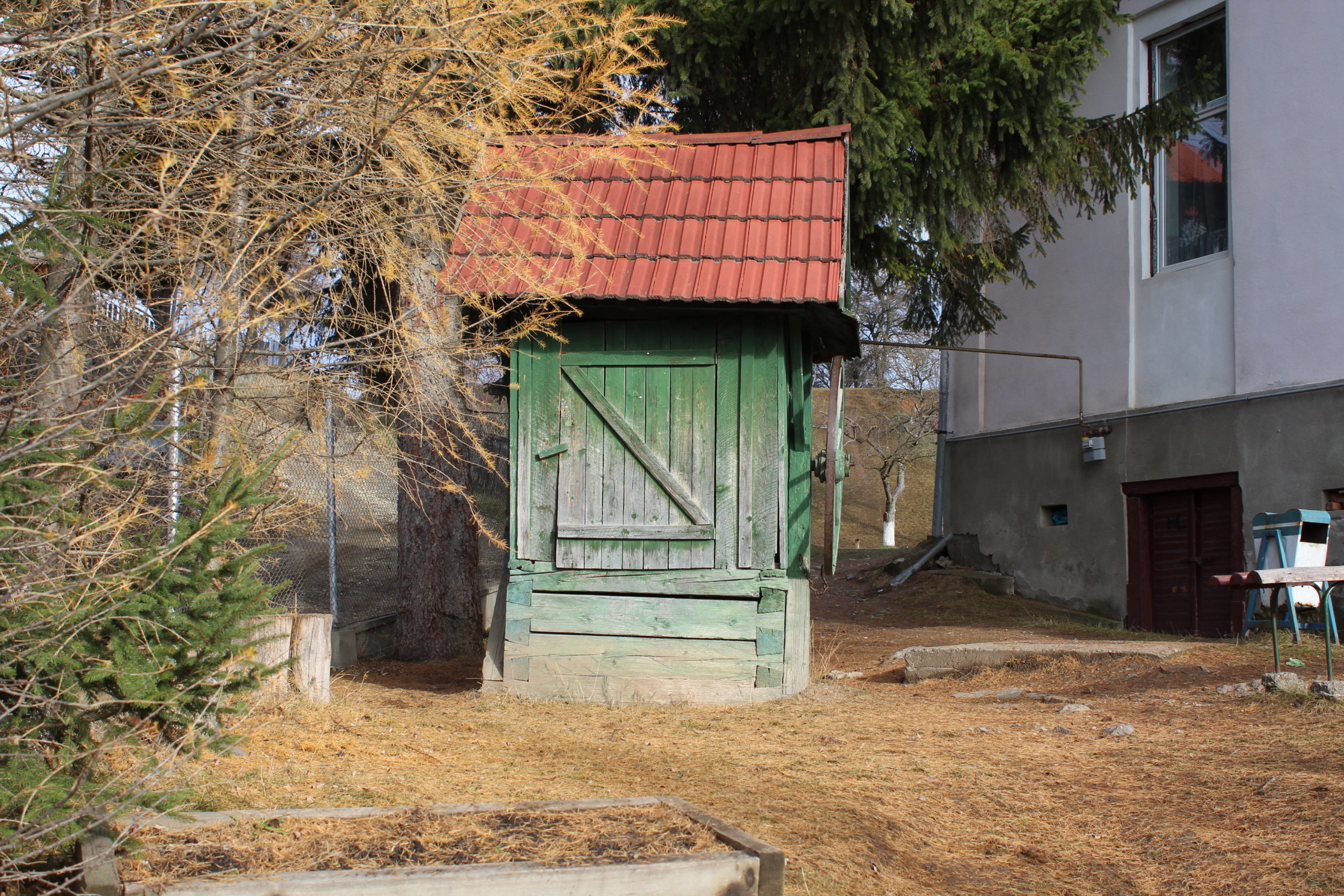
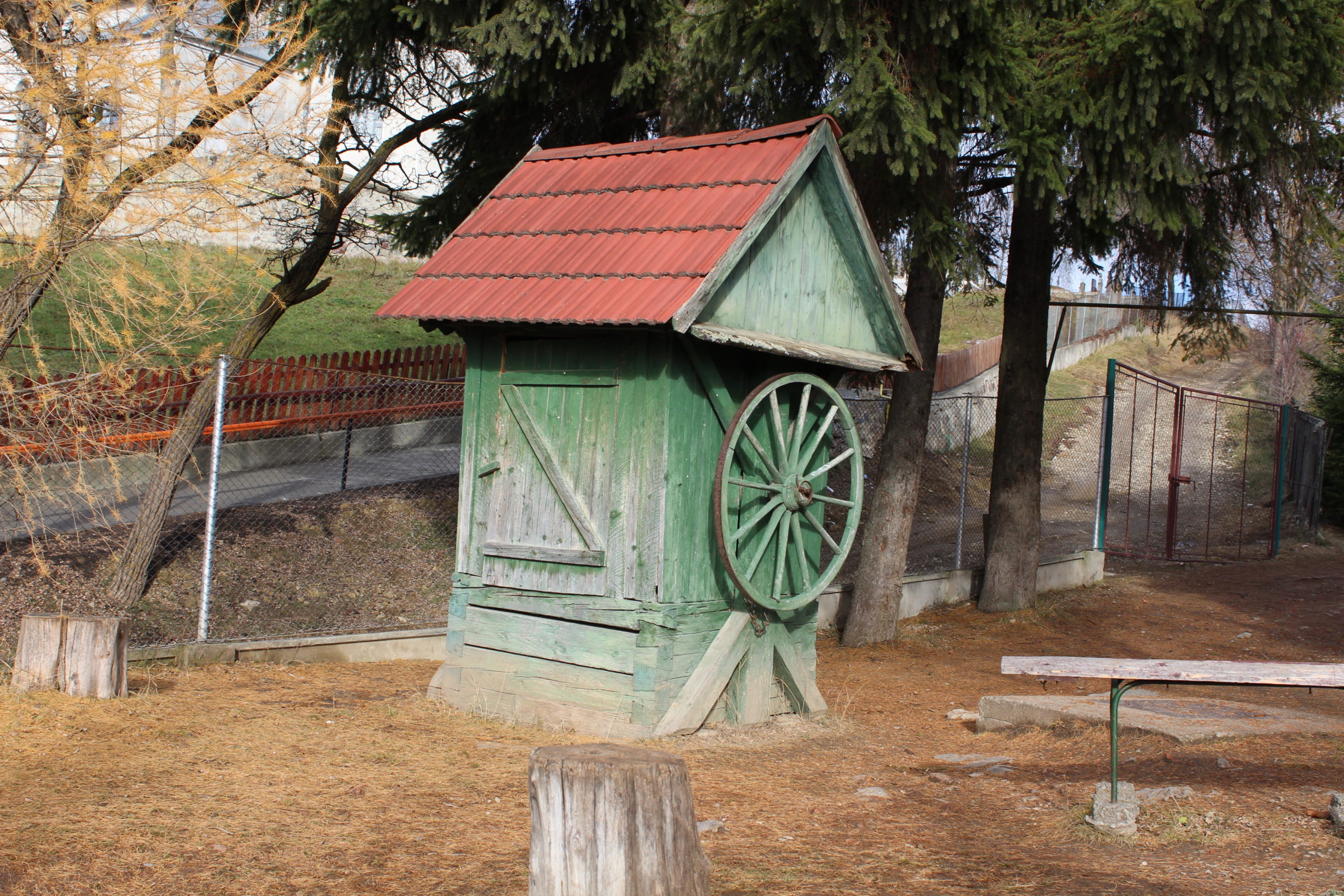
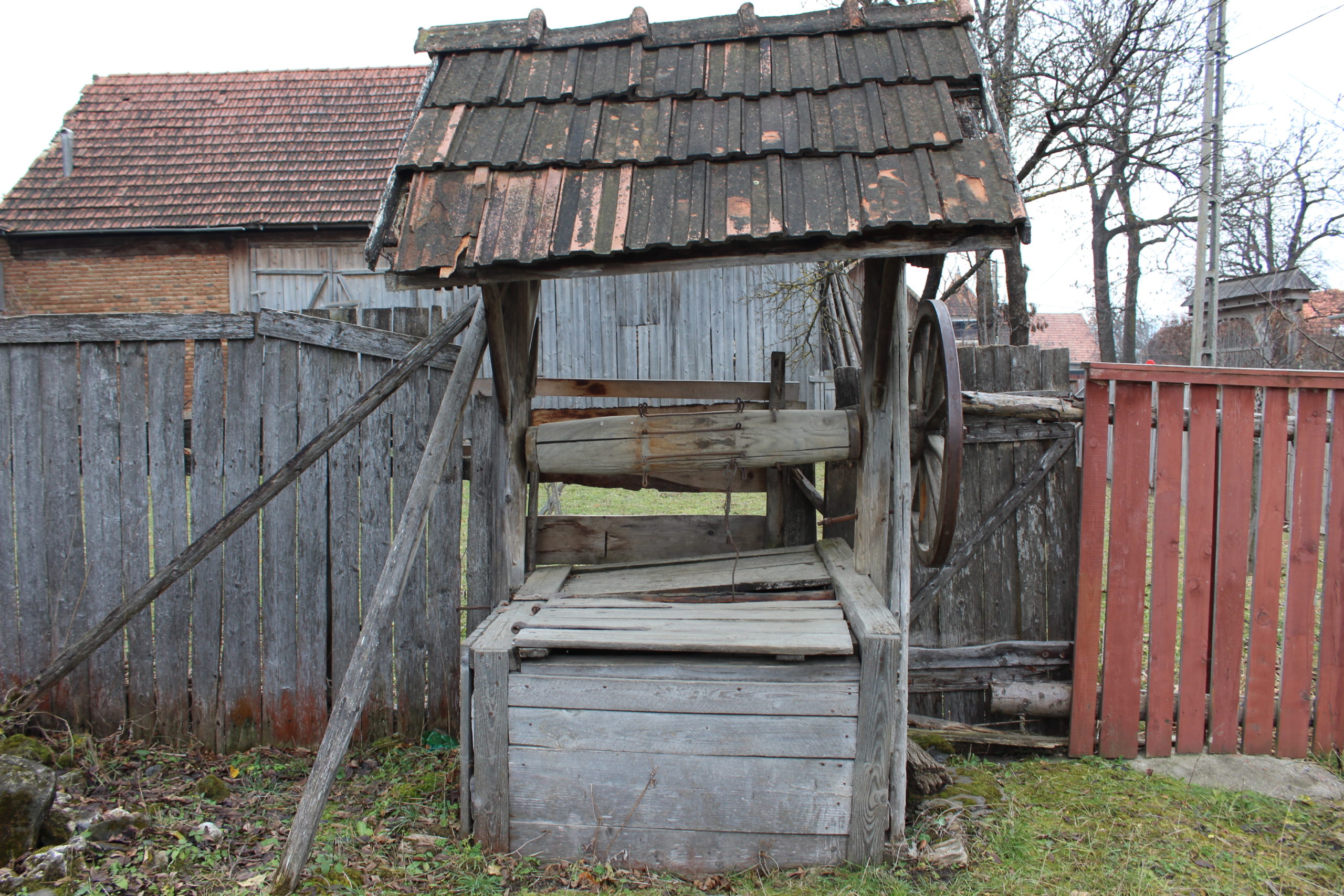
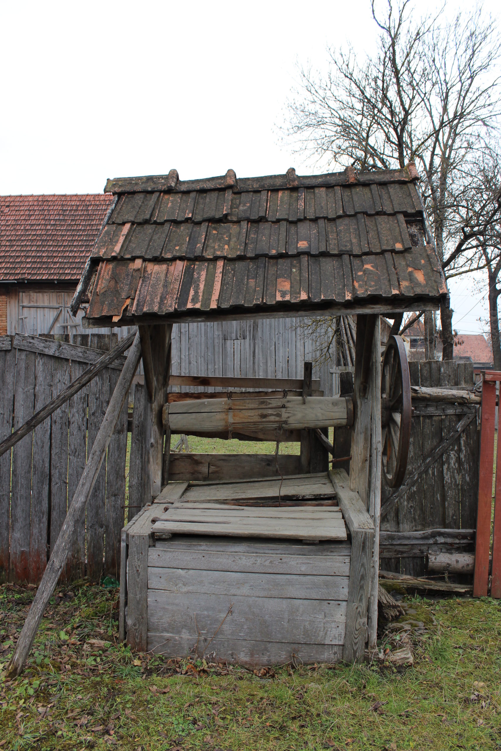
- 51. – kút | fântână
- 52. – csűr | șură
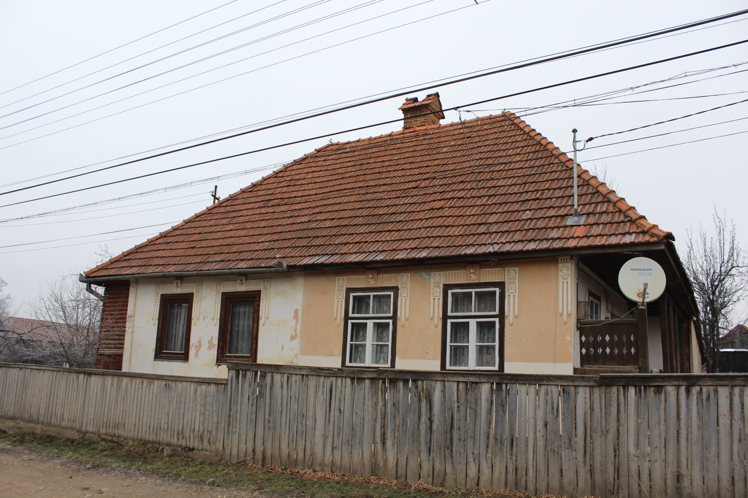
- 55. – lakóház | casă de locuit
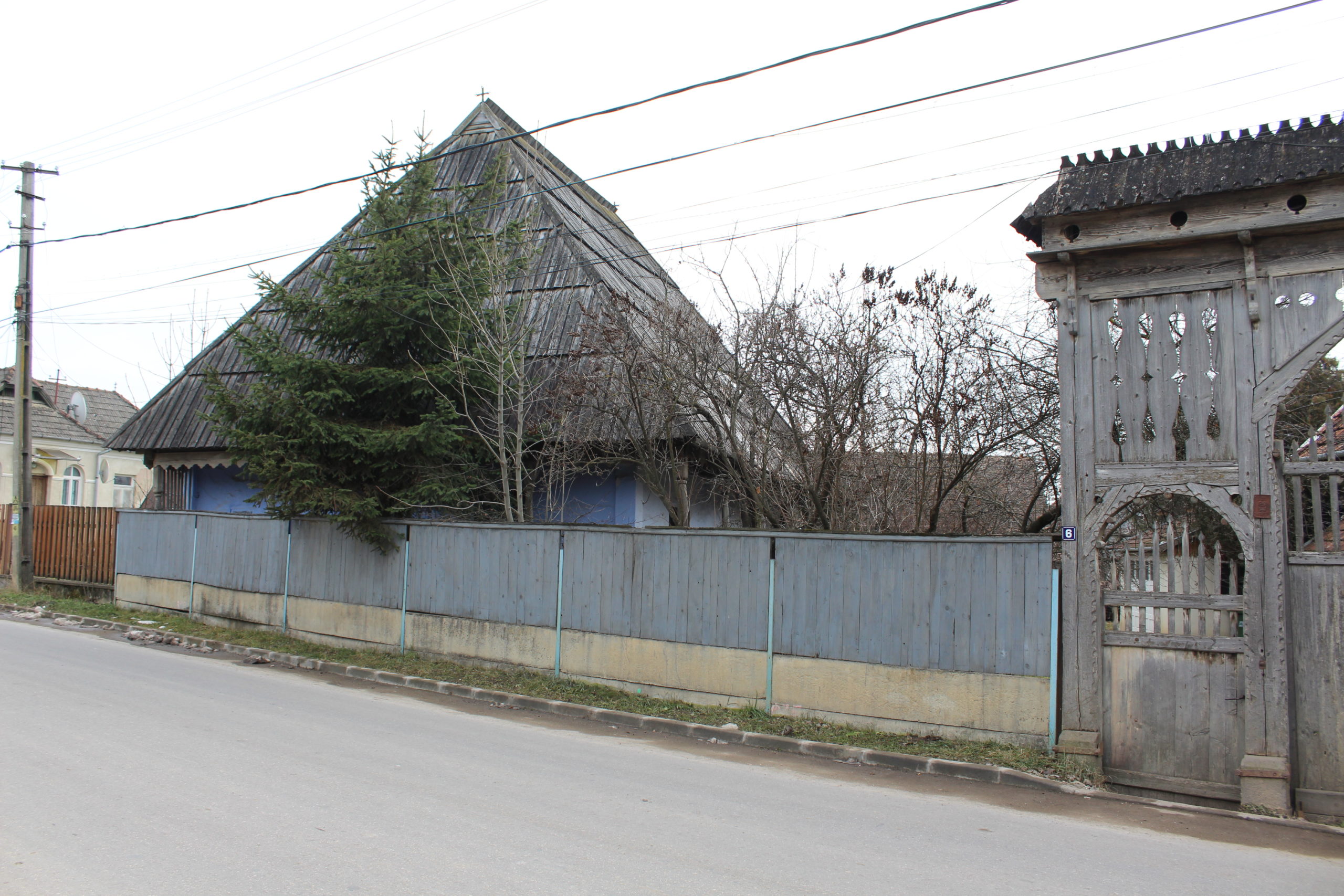
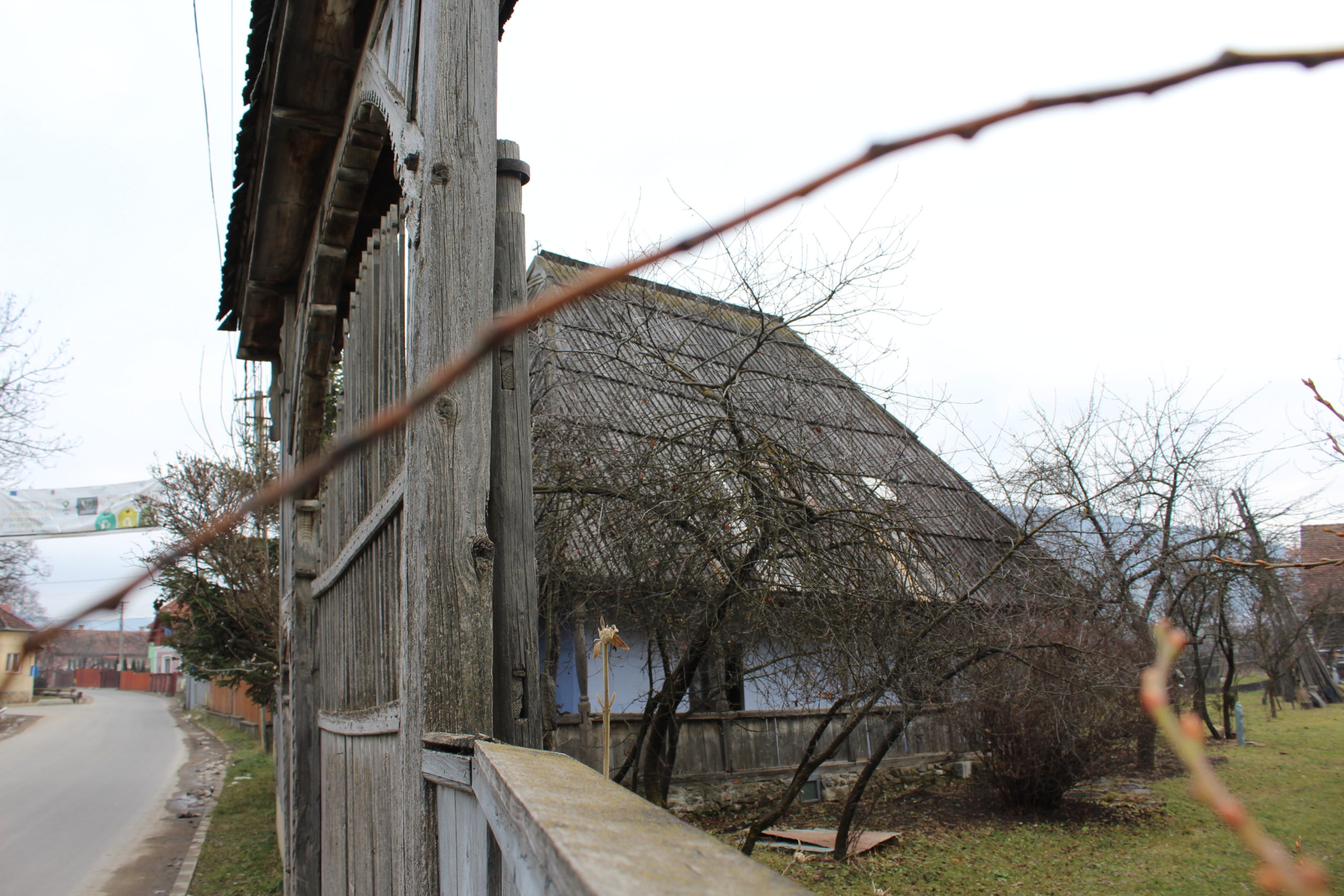
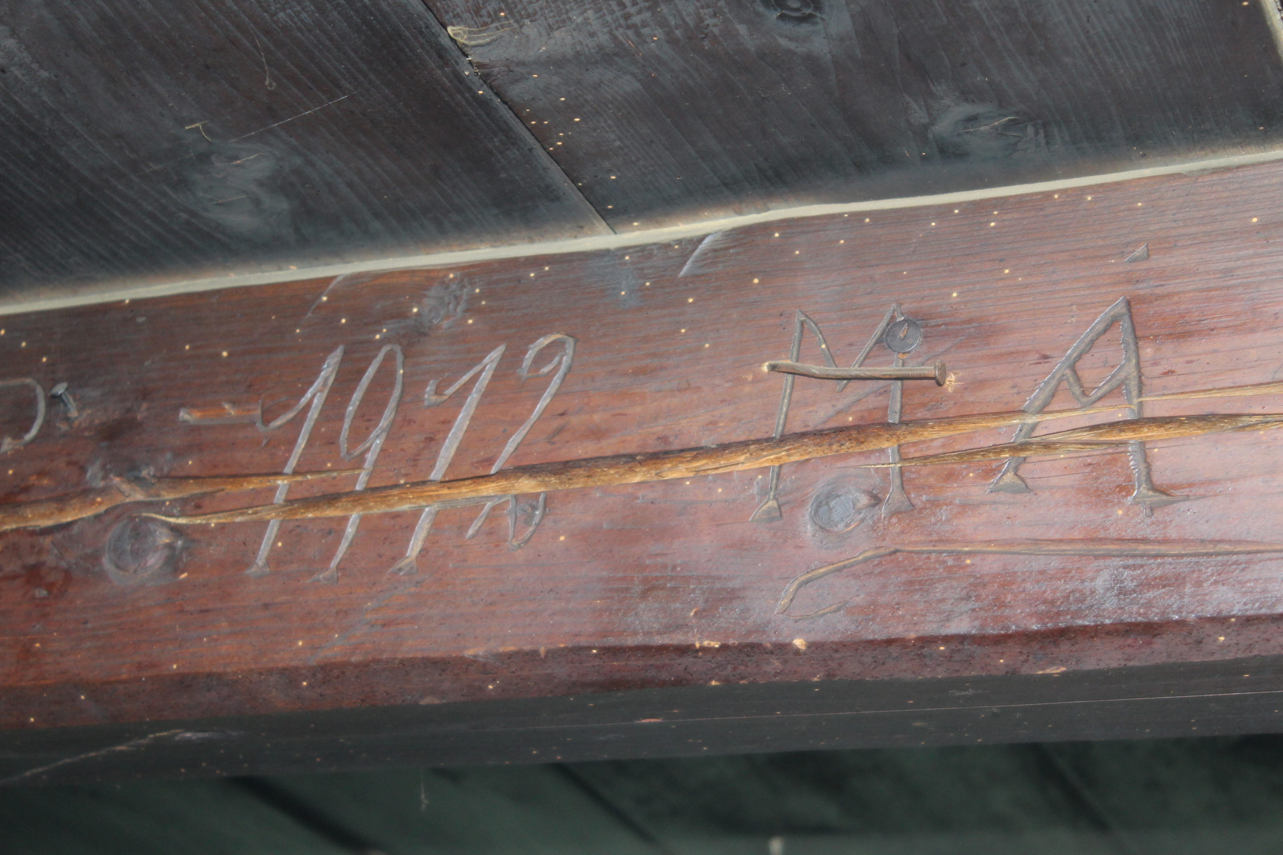
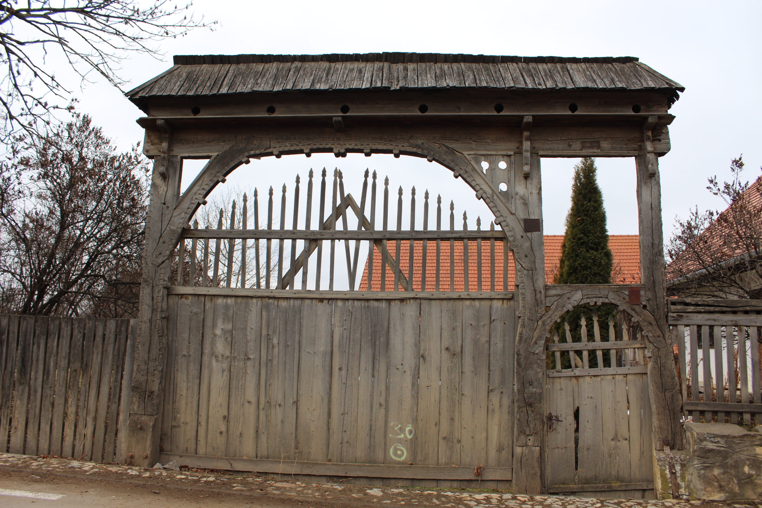
- 60. – kapu (műemlék) | poartă (monument istoric)
- 61. – porta | gospodărie
- 61. – lakóház | casă de locuit
- 61. – csűr | șură
- 61. – nyári konyha | bucătăria de vară
- 65. – porta | gospodărie
- 100. – csűr | șură
- 115. – kút | fântână
- 121. – porta | gospodărie
- 125. – kút | fântână
- 125. – csűr | șură
- 147. – porta | gospodărie
- 171. – porta | gospodărie
- 172. – lakóház | casă de locuit
- 175. – csűr | șură
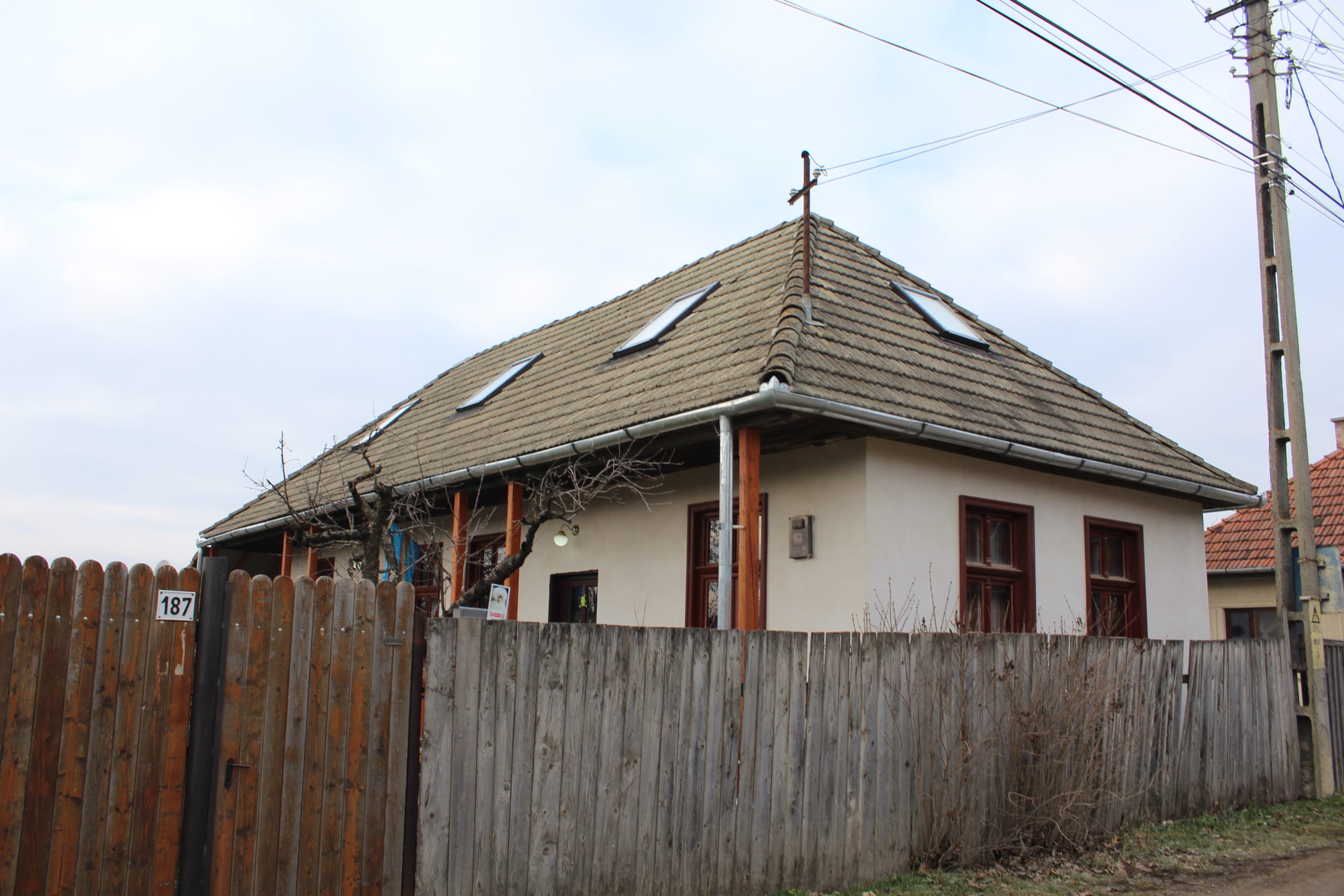
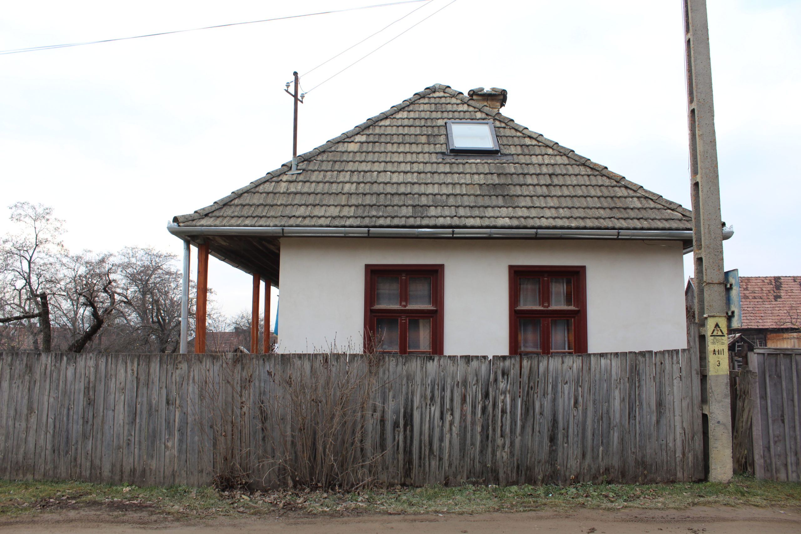
- 187. – lakóház | casă
- 196. – porta | gospodărie
- 200. – melléképület | anexă
- 202. – melléképület | anexă
- 202. – csűr | șură


YOUR COMMENT